
 Triassic Wash Rock Art
Price
Overview
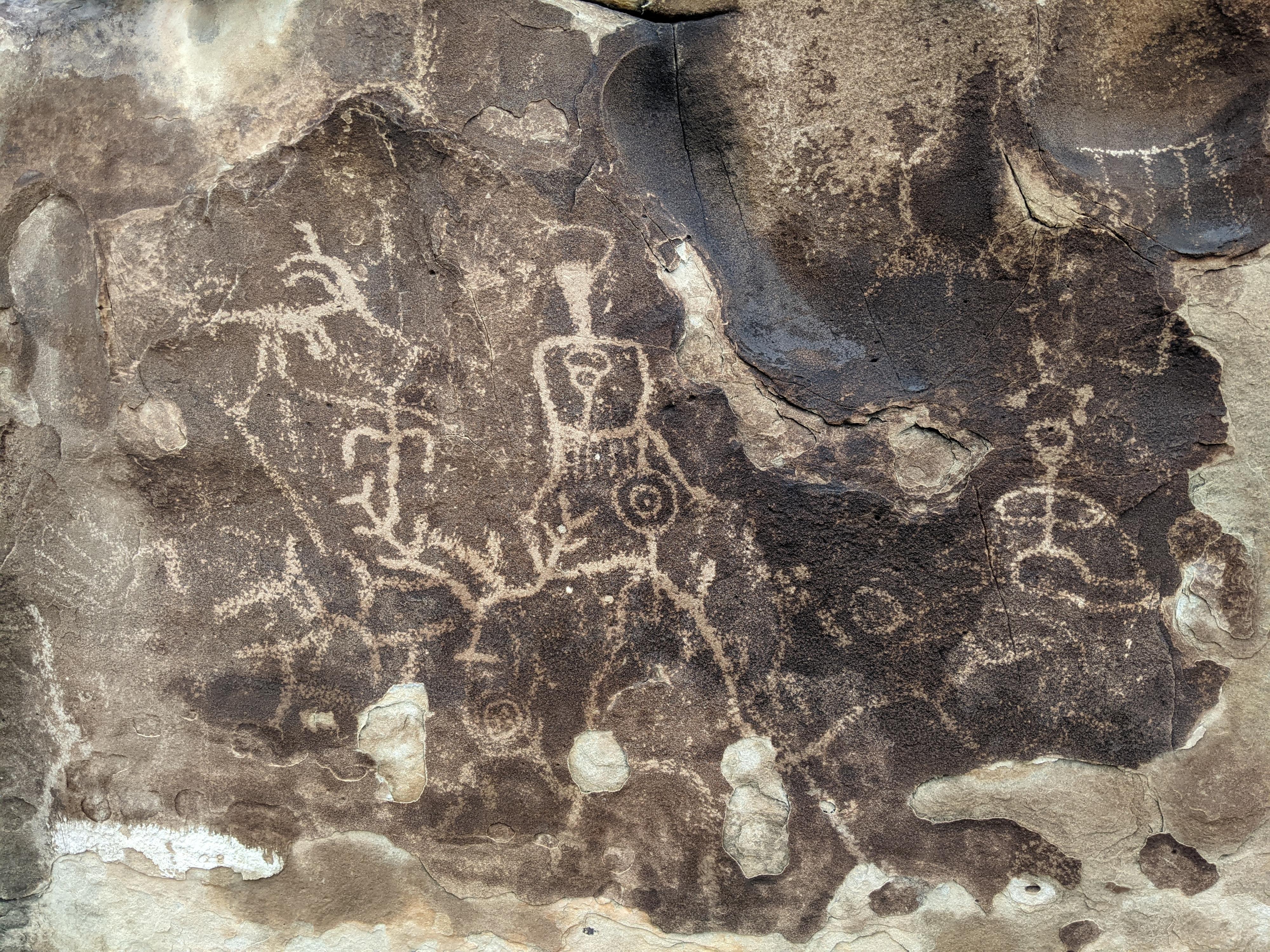
Though the nearby Jurassic National Monument is known for its dinosaur fossils, the road to the monument passes near a couple of excellent rock art sites. One of the rock art sites is in what climbers call the Triassic Bouldering Area, while the other is in a nearby wash to the south.
Visiting the rock art panels is an walk suitable for most. With a high clearance vehicles, both sites over very short walks. In a low clearance vehicle, it is a 2-3 mile outing on easy terrain.
We enjoyed the rock art immensely, but also the fun of climbing and around the large boulders. This is an excellent family outing.
At the first site, one area contains more simple designs that have faded over time, while a second area contains what appear to be more recent and more complex designs. To my very untrained eye, it appears the panels are from at least two periods.
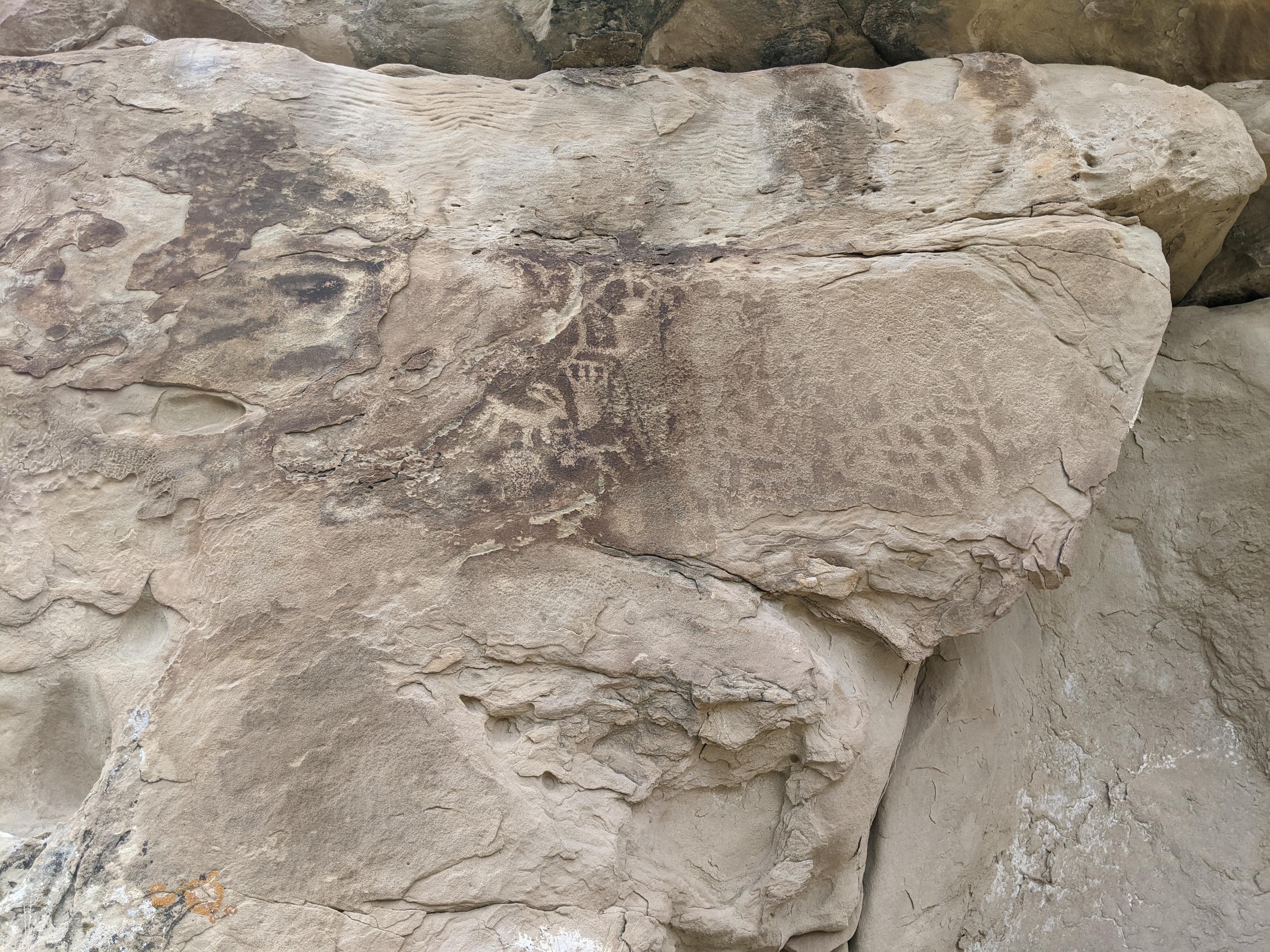
The second site, south of the first, has a larger number of panels and pictographs as well as a couple of old signatures carved into the rock. A fascinating place to visit if you are in the area.
Full Details
To help keep the riff-raff out, and encourage participation, you must login to see the details.
Login For Full DetailsRegistration is free and easy.