 Canyoneering
Cherry Canyon
Canyoneering
Cherry Canyon
Virgin River Gorge
Overview
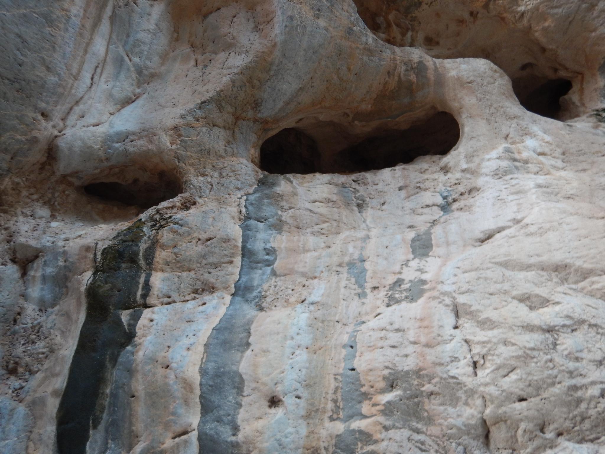
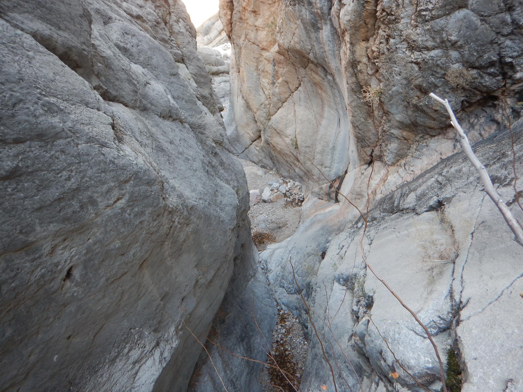
Cherry Canyon, in the Virgin River Gorge just southwest of St. George, offers a very different canyoneering experience than what you will find closer to St. George and in Zion. The canyon is limestone, steep, and spectacular. Cherry Canyon is not a slot canyon, but is relatively narrow.
Its short length and low elevation make it a good late fall through early spring outing. This is NOT the place to visit in high summer when temperatures would be overwhelmingly hot. Also be aware all anchors are currently natural anchors with many deadmen. Good anchor evaluation skills recommended. There is generally a lot of material to build anchors with if some happen to wash out. The canyon is one of the more popular ones in the area.
One final note, the crux of the route the day we visited in January had nothing to do with the canyon, but everything to do with talking my partners into wading the Virgin River on both the approach and exit! I would not recommend attempting this canyon if the Virgin is flowing at 200 cfs or higher. The crossing would likely be dangerous at those levels. At about 100 cfs, it was mid-thigh and ice cold in January. A pair of sandals for the crossing and dry shoes for when you are across is highly recommended. CFS information is available on the USGS site.
Getting There
The trailhead is on eastbound I-15, in the Virgin River Gorge. Coming from the west (Littlefield, NV), follow the highway into the Virgin River Gorge. After entering Arizona and the Gorge, keep an eye out for milepost 14. Continue past mile post 14 for 0.7 miles, watching for a parking area on the right just after rounding a bend that bends to the left. This is a large parking area, with the river to the right (south) of the highway. This is the trailhead.
Route Description
Approach (1-1.5 hours)
From the turnout, locate a social trail heading down to the river that passes by a culvert. Head down stream along the bank a few hundred feet to the bend where a large wash comes in across the river. Find a spot to cross the river anywhere here that looks easiest.
Follow the large wash up stream. In 5-10 minutes, it deepens and comes to an obvious junction. Right is the return route. Go left, but don't stay in the wash bottom; stay on the right bank. There are a few cairns and social trails here. Continue up, working up along the obvious ridge on an emerging social trail. The views become stunning in this section, with Cherry Canyon being the deep canyon just to your right. Ascend up until the obvious shoulder on the right. This is about a 1500' elevation gain from the trailhead and will take most groups 1-1.5 hours at a good pace. At the shoulder, Cherry Creek is just to the south and an easy 2 minute walk down the slope to reach the canyon bottom.
Canyon
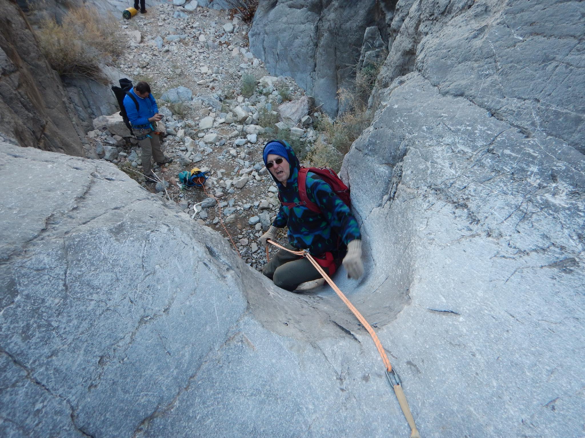
From the canyon bottom, head down canyon. The first rappel is just a few minutes down canyon. The rest of the rappels come in rapid succession:
R1 - 10 m ( 33 ft. ) (or downclimb)
R2 - 6 m ( 20 ft. ) -Almost a downclimb, but a little slippery! (Or pretty easy downclimb a bit to the right looking down canyon.)
R3 - 30 m ( 99 ft. ) - This is the biggest rappel in the canyon, and 2 stages.
R4 - 10 m ( 33 ft. ) to a possibly shallow pool. Easy to keep your feet dry.
R5 - 25 m ( 83 ft. ) - Another big one, this section of canyon is fantastic
R6 - 10 m ( 33 ft. ) - Rappel 6 and Rappel 7 are within 20-30 feet of each other.
R7 - 10 m ( 33 ft. )
R8 - 8 m ( 27 ft. )
R9 - 22 m ( 73 ft. )
R10 - 12 m ( 40 ft. )
R11- 13 m ( 43 ft. )
The canyon opens, with an easy escape on the left at this point. This is a good lunch spot before the final short section of narrows. A small drop here is easily passed on the left.
Heading down from the open area, the canyon quickly drops and narrows again. This first drop is an easy downclimb, but some may wish to rappel. Just down canyon from this first obstacle, the canyon stair steps quickly.
R12- 12 m ( 40 ft. )
R13- 20 m ( 66 ft. )
R14 14 m ( 46 ft. ) - Can be bypassed on the right, but not recommended.
R15 - 12 m ( 40 ft. ) - The final rap down to the open wash. (This can be bypassed on the left.)
Exit
From the bottom of the rappel, head right. The approach junction in reached in a couple of minutes. Go left here, re-tracing your approach route to the river.
Photos
Videos
Cherry Canyon May 2026
Maps

12S 247437E 4089284N
36°54'57"N 113°50'06"W
12S 247400E 4089117N
36°54'51"N 113°50'08"W
12S 247938E 4089014N
36°54'49"N 113°49'46"W
12S 248098E 4088318N
36°54'26"N 113°49'38"W
12S 248095E 4088260N
36°54'24"N 113°49'39"W
12S 247942E 4088666N
36°54'37"N 113°49'45"W
12S 247897E 4088849N
36°54'43"N 113°49'47"W