 Hiking
Circle All Peak
Hiking
Circle All Peak
Big Cottonwood Canyon
Overview
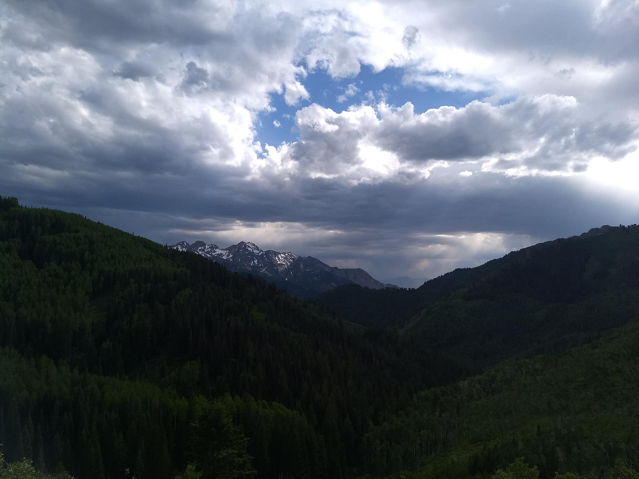
Circle All Peak is a popular peak for groups to hike in the evenings or early mornings in the summer. Circle All Peak technically doesn't have enough prominence to be classified as "peak" but given its incredible views of the ridge separating Big and Little Cottonwood Canyons, that can be overlooked!
Circle All Peak is an excellent hike, and it is no wonder it is a popular one. I think the evening lighting, in particular, make the views some of the best in the canyon. Most people hike to the peak via the Mill A Basin trail, making for about a 4-ish mile outing. Keep in mind the hike gains over 1600' along the way, so it is a bit of a steep hike. If you have time, my preferred route is to go up the east fork of Butler Fork, then take the Desolation Trail west. Going this route makes for a more extended 7.5-ish mile outing, but the hiking along the Desolation Trail is outstanding. Mostly level with excellent views, it is a great stretch to hike. The loop hike makes the ascent a little less steep.
Getting There
Big Cottonwood Canyon is on the east side of the Salt Lake City Valley. Get there by taking I-215 to the east, taking exit 6 off the interstate and heading east.
Follow 6200 South which becomes Wasatch Blvd for 1.8 miles to the stop light and signs for Big Cottonwood Canyon.
Turn left at the light and reset your odometer.
Drive up Big Cottonwood Canyon. At 8.2 miles is the Butler Fork trailhead on the left. There is a fair bit of parking here, but it can fill up on weekends.
Route Description
To Mill A Jct (0.55 miles)
From the trailhead, follow the trail up Butler Fork. It is relatively steep from the start and crosses the stream not far from the road. At the Mill A Jct, the out-and-back short route and the loop diverge.
SHORT ROUTE (1.25 miles from Mill A Jct to summit)
If doing the short route, go left here, climbing steeply for the next mile. As the trail begins to level out, a well-worn side trail leaves on the left. Follow this 0.2 miles to its end on the summit of Circle All Peak. Return the same way.
LOOP ROUTE
To Desolation Trail (2 miles)
Go right at the Mill A Jct, following the less steep East Butler Fork for about 2 miles to a signed and prominent junction with the Desolation Trail. The junction is just after the trail reaches the ridge and descends a short distance. Though less steep than the Short Route, the hike still feels steep to me!
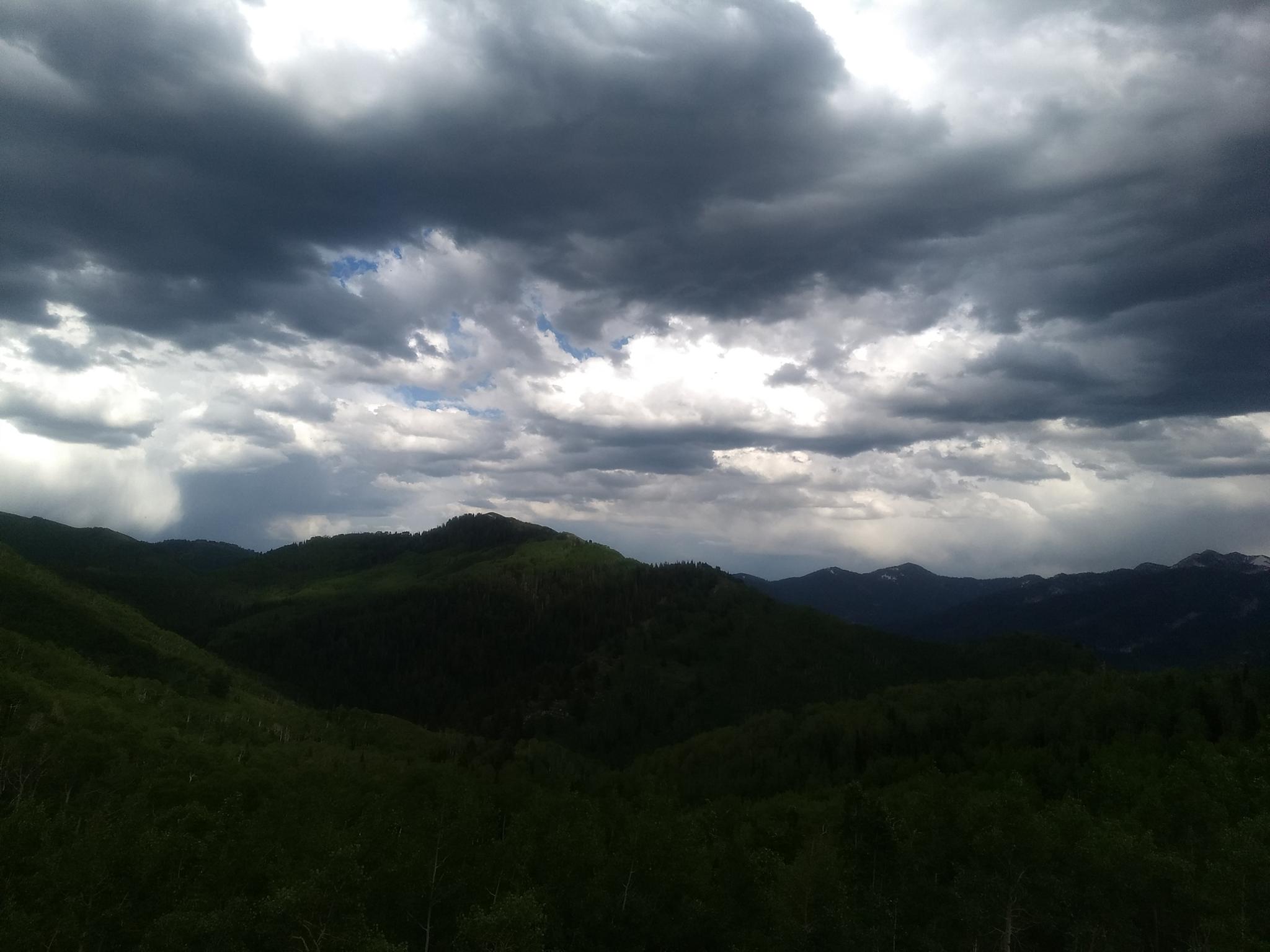
Along the Desolation Trail (3 miles)
Ah, the lovely Desolation Trail! The trail is mostly flat as it takes large meanders around the heads of canyons, staying typically close to 8,800 feet in elevation. Openings in the trees offer excellent views. Spring will find the trail speckled with wildflowers, while fall can have jaw-dropping foilage colors. Though the views make this stretch of the trail look long, it passes quickly.
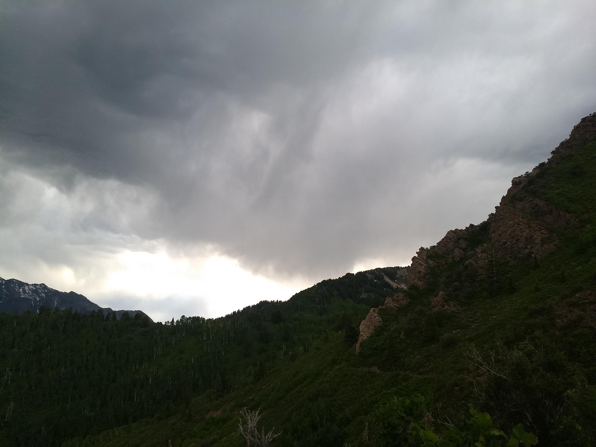
Circle All Peak And Return (2.5 miles)
It takes an hour or hour and a half to reach the prominent Mill A Jct from the top along the Desolation Trail. Go left here. Just 5 or so minutes down from this junction, the trail forks just before it begins its big descent. Right goes to Circle All Peak, about 0.2 miles away. After visiting the peak, go down at this junction. The trail makes a handful of switchbacks as it steeply descends back to the Mill A Basin Jct. Go right at the bottom to the trailhead. An amazing loop.
Maps

12T 444044E 4500035N
40°38'57"N 111°39'43"W
12T 443774E 4500752N
40°39'21"N 111°39'54"W
12T 445341E 4502027N
40°40'02"N 111°38'48"W
12T 442741E 4501114N
40°39'32"N 111°40'38"W
12T 442927E 4500734N
40°39'20"N 111°40'30"W
12T 443009E 4500495N
40°39'12"N 111°40'27"W