 Hiking
Volcano Peak
Hiking
Volcano Peak
Silver Island Mountains
Overview
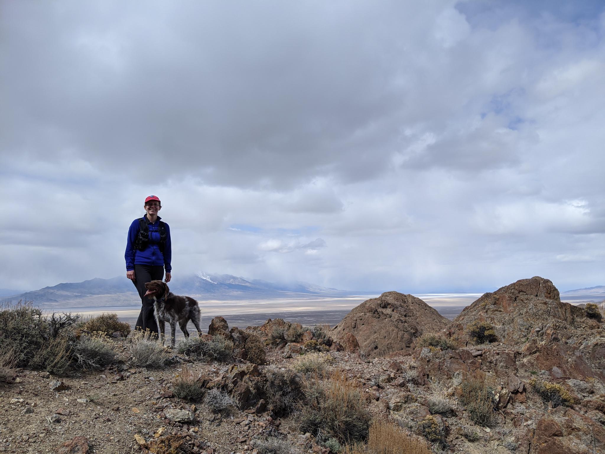
One of the most accessible peaks in the Silver Island Mountains is Volcano Peak. The peak, a volcanic plug, is accessible both because of its driving distance, but also its hiking distance. At about 0.5 miles and 800 feet of elevation gain one way, the hike is short, but also steep! Because the hike is popular, there is a social trail that is easy to find and follow to the summit. Did I mention the hike is steep and loose in spots?!?! I, carrying a toddler in a backpack, found coming down quite challenging.
Getting There
Reaching the trailhead starts by going north off I-80 at exit 4. This is a few miles east of Wendover, UT, and about 115 miles west of Salt Lake City.
Once off the freeway, reset your odometer on the north side of the freeway and head north toward Bonneville Salt Flats.
Route Description
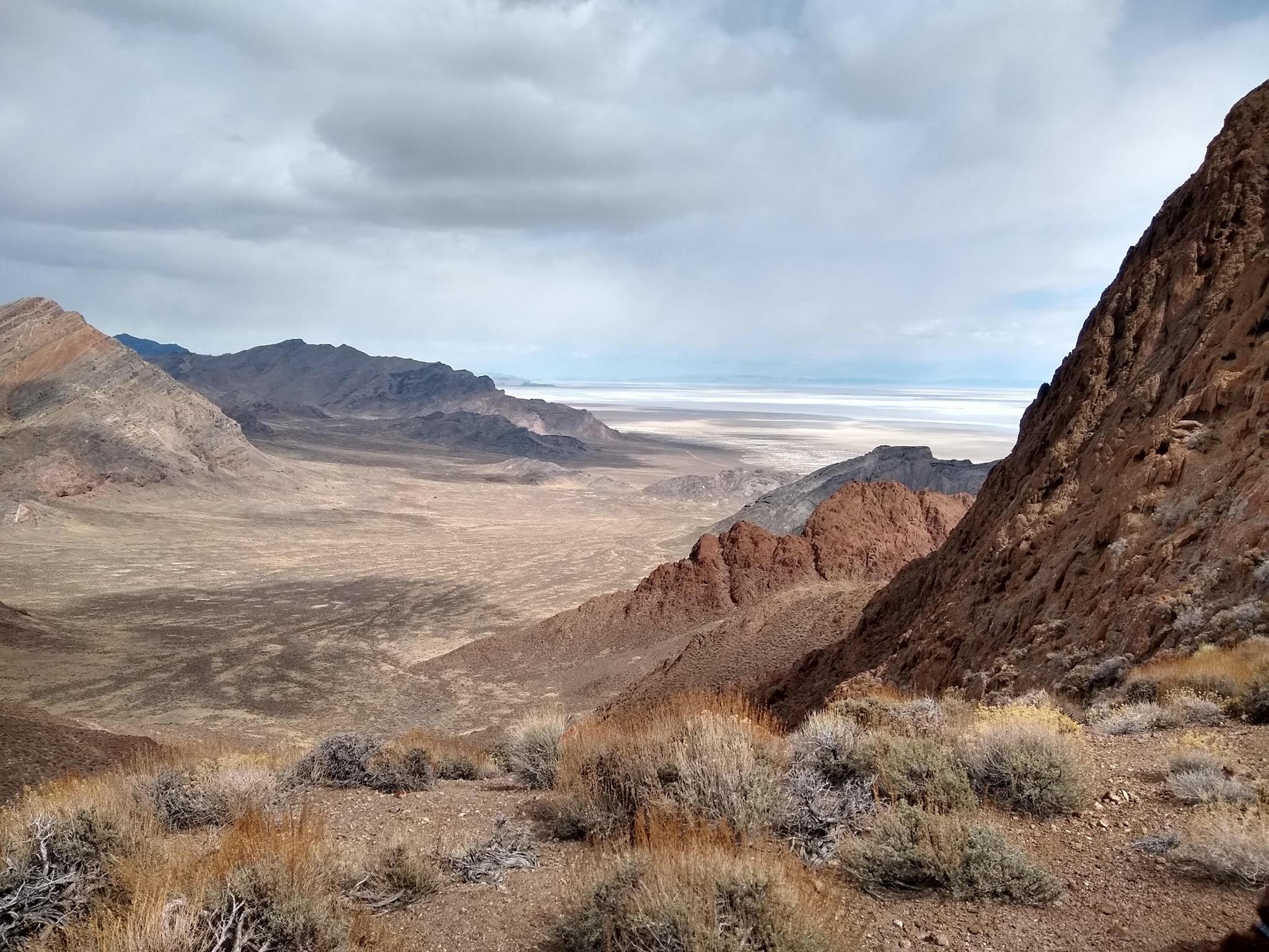
From the trailhead, a social trail goes up the obvious wash toward the peak. When the wash bends left, the social trail makes a steep, loose climb up the dirt slope. Once up the slope, the social trails contour around the left shoulder of the sub-peak to a small saddle. The saddle has great views all around.
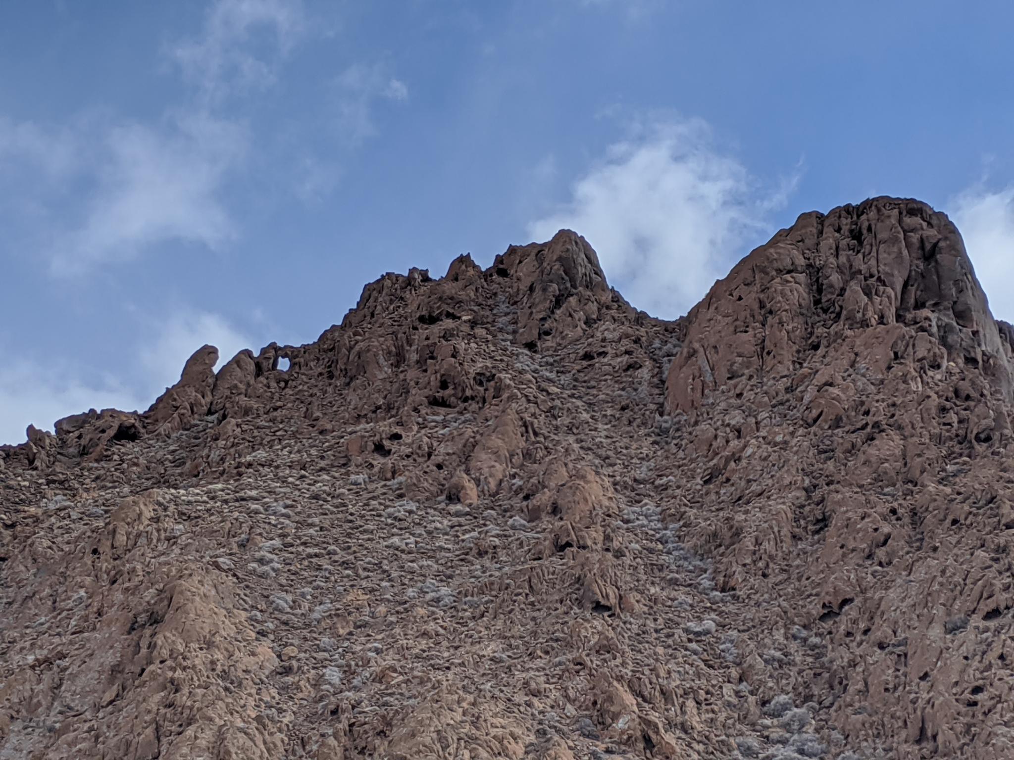
The saddle gives a bit of a daunting view to the final few hundred feet to the summit. Follow the chute left of the saddle. Though it looks tricky, it is reasonable if you follow the social trail and route find well. The summit is to the right of the arch/window. If it seems hard, look around, you may be off route. It was within Wonder Dog Abby’s abilities, though she is talented. There was (as of 2020) a small summit register in a can. This is to the right once you reach the top, thought the summit to the left looks almost equal height.
Return the same way, being very careful on the loose sections.
Photos
Maps

12T 248511E 4520883N
40°48'02"N 113°58'52"W
12T 248788E 4520314N
40°47'44"N 113°58'39"W