 Hiking
Lamus Peak
Hiking
Lamus Peak
Silver Island Mountains
Overview
Lamus Peak, though infrequently visited, is my favorite of the peaks I have done in the Silver Island Mountains. The hike has both big views and interesting history. It is a trail that, as it wends its way up the peak, feels like it is immersing the hiker into the scenery as it goes. I was expecting the nice summit views, but much of the trail is an old miners pack trail, still in quite good shape and makes for fascinating history as well.
The peak is named after Nelson Edward Lamus and his son Blair Barnard Lamus. Nelson was involved in building the first paved road to access the Bonneville Salt Flats. His son Blair was involved in prepping the Salt Flats for speed record attempts between 1925 and 1955.
Getting There
Reaching the trailhead starts by going north off I-80 at exit 4. This is a few miles east of Wendover, UT, and about 115 miles west of Salt Lake City.
Once off the freeway, reset your odometer on the north side of the freeway and head north toward Bonneville Salt Flats.
Route Description
The first section can be driven by high clearance vehicles or walked if needed. There is a washout not far from the main dirt road that is the worst spot. If you can make it past that, the rest of the road is in quite good shape. Drive or walk the two-track for 1.5 miles to where it crosses a wash. The road gets a bit rougher and steeper from here before ending shortly. If driven to this point, I would recommend parking at or near the wash.
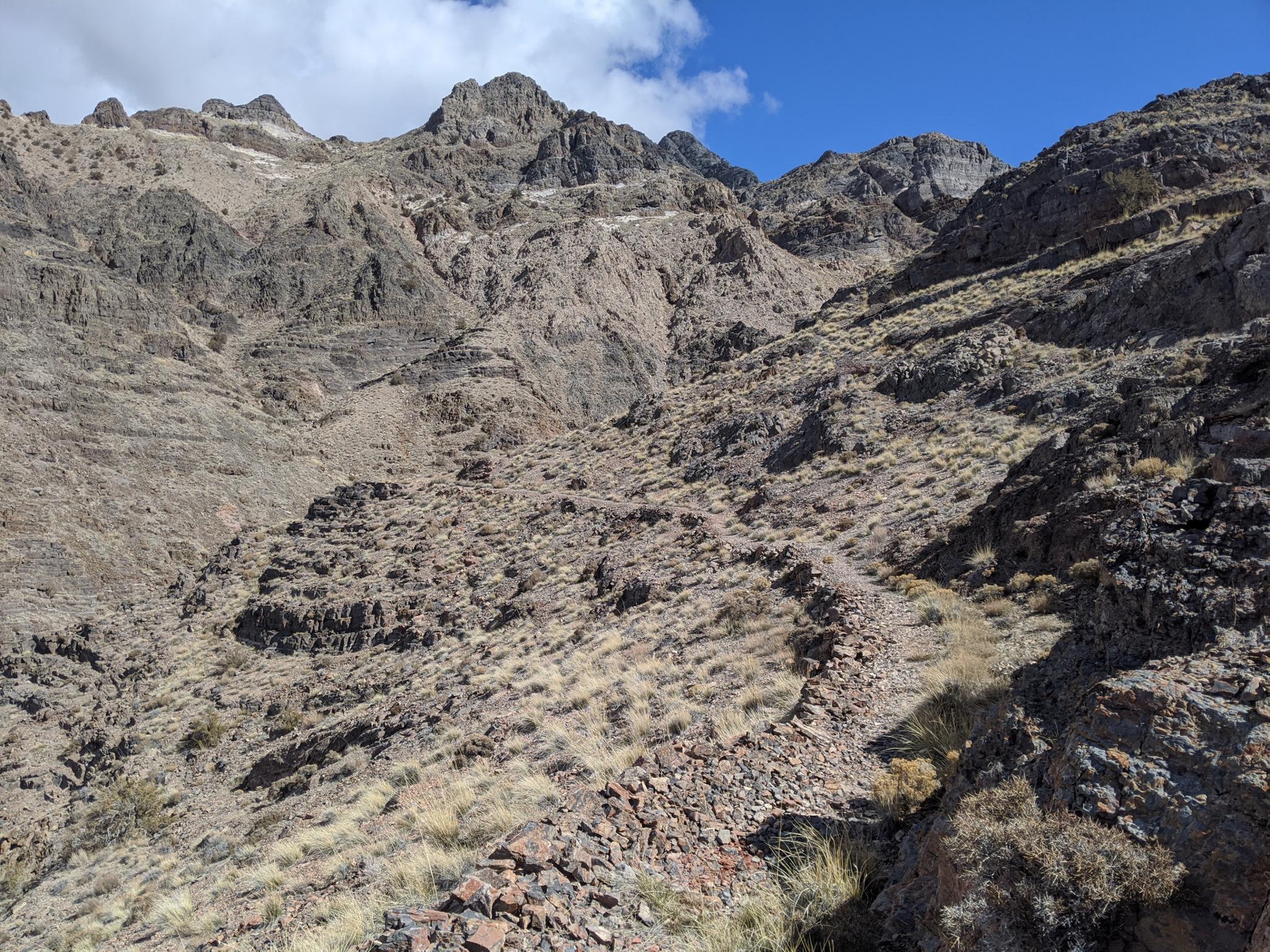
From the wash, follow the road up past an old mining ruin. The road cuts left and switches from a road to a constructed pack trail climbing the hillside. Follow the pack trail as it climbs the hillside, crosses over to the next drainage and continues up to an old mine. This section of trail is easy to find and follow.
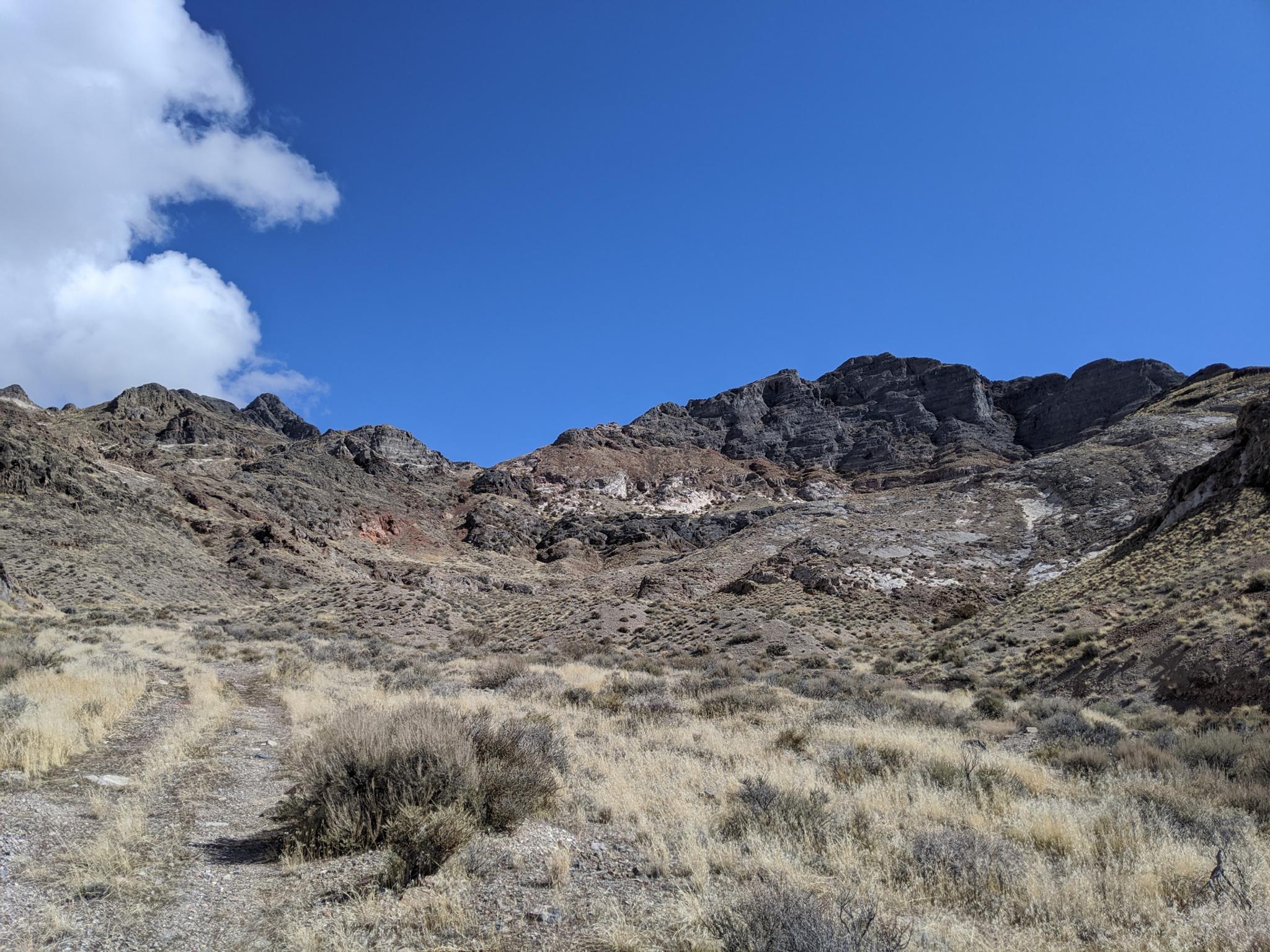
At the mine, the trail continues, but is a bit harder to find and follow. I recommend working directly up the left drainage for a few minutes until it is possible to cut right, crossing open and somewhat loose slopes, to the drainage to the west. Follow this drainage up, passing a couple of mines, then work directly up the steep slope to the obvious saddle on the east side of Lamus Peak.
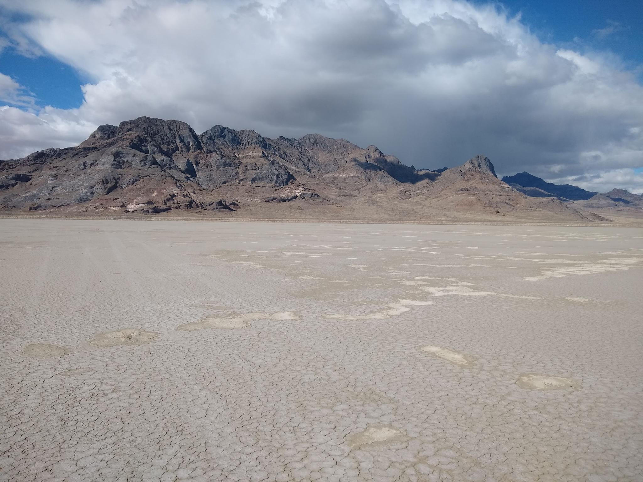
From the saddle, and intermittent social trail works up, mostly staying near the ridge, to the summit. Particularly near the summit, some route finding around looseness is required. The summit has spectacular views of the Great Salt Lake Desert to the east, and Jenkins Peak, looming to the west. Return the same way.
Photos
Maps

12T 259819E 4527945N
40°52'03"N 113°50'60"W
12T 260311E 4529794N
40°53'03"N 113°50'41"W
12T 260628E 4529869N
40°53'06"N 113°50'28"W
12T 260537E 4529874N
40°53'06"N 113°50'32"W
12T 260946E 4530179N
40°53'16"N 113°50'15"W
12T 260765E 4530163N
40°53'15"N 113°50'23"W
12T 261223E 4529841N
40°53'05"N 113°50'03"W