The Chute of Muddy Creek
Southern Swell
Overview
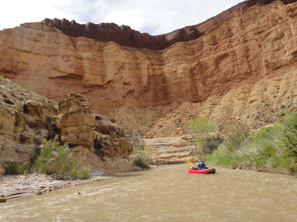
Often described as "an incredible hike", the Chute of Muddy Creek is also often followed up closely by "...but what a long day.". This is a pretty accurate description. From Tomsich Butte to Hidden Splendor is a long day hike, but is through one of the most impressive non-technical canyons in the Swell. This is a must do for fit hikers. It can be backpacked, but Muddy Creek is not suitable for filtering or drinking, making water availability a problem. There are small springs in lower Chimney Canyon, but by that time, you are not far from the exit. Overall, I would recommend doing it as a long day hike, taking all water you will need.
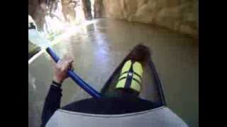
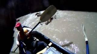
Hiking is not the only option, however! The best way to visit Muddy Creek may be via inflatable kayak, but this also may be the most difficult. The float is only Class II, but timing your trip when there is enough water for floating is the crux. Typically, the Muddy peaks during spring run-off toward the end of May or early June. Float season is generally only a couple of weeks at best, and levels can fluctuate wildly from day to day. Many of my friends have talked of epics dragging their inflatable kayaks or hardshells for miles when the river dropped on them. Be warned!
Flows
For hiking, I would recommend flows of < 100 cfs. Between 100 and 200 cfs, it is still very hike-able, but bring an inner tube to float the deeper and narrower sections of the Chute. Above 200 it could become difficult crossing some of the rocky rapids.
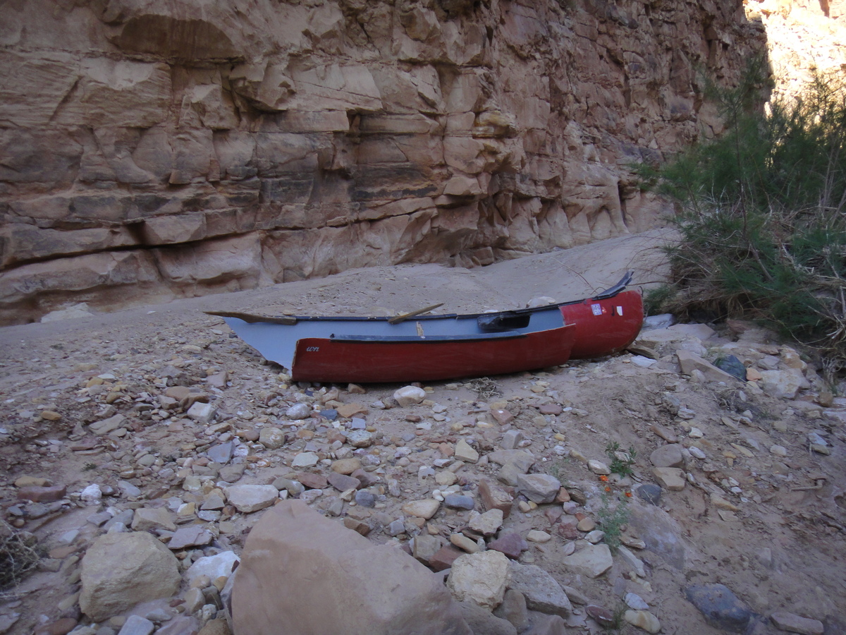
For floating or canoeing, the river has been done as low as 100 cfs with MUCH dragging. Above 150 cfs is likely the minimum acceptable in an inflatable with some dragging. 200 cfs and higher would be recommended in an inflatable or hardshell kayak. Canoes can be run over 200 cfs, but be prepared to walk rapids, or be highly skilled. Many of the rapids are rocky chutes that are very difficult in a canoe. They can be portaged, however. Floating is usually only possible for a few weeks in early June or possibly late May during spring runoff. Many years there is not enough flow at all.
Personal Experience
I have hiked it from both the top and bottom at < 100 cfs. This made for shallow wading with a few chest deep holes in the actual chute. Cristina and I attempted it at 120 cfs in an inflatable, and found to much dragging for our taste, so packed up and walked out. We did it again at 220 cfs in a canoe. This proved do-able, but challenging.
You can see the forecasted flows on https://www.cbrfc.noaa.gov/dbdata/station/flowgraph/flowgraph_hc2.html?id=MDCU1, though I have seen these fluctuate greatly on a day-to-day basis and don't believe they are very accurate more than a day or two out.
Full Details
To help keep the riff-raff out, and encourage participation, you must login to see the details.
Login For Full DetailsRegistration is free and easy.
Photos
Videos