
 Bartlett Rock Art Panel
Moab North
Overview
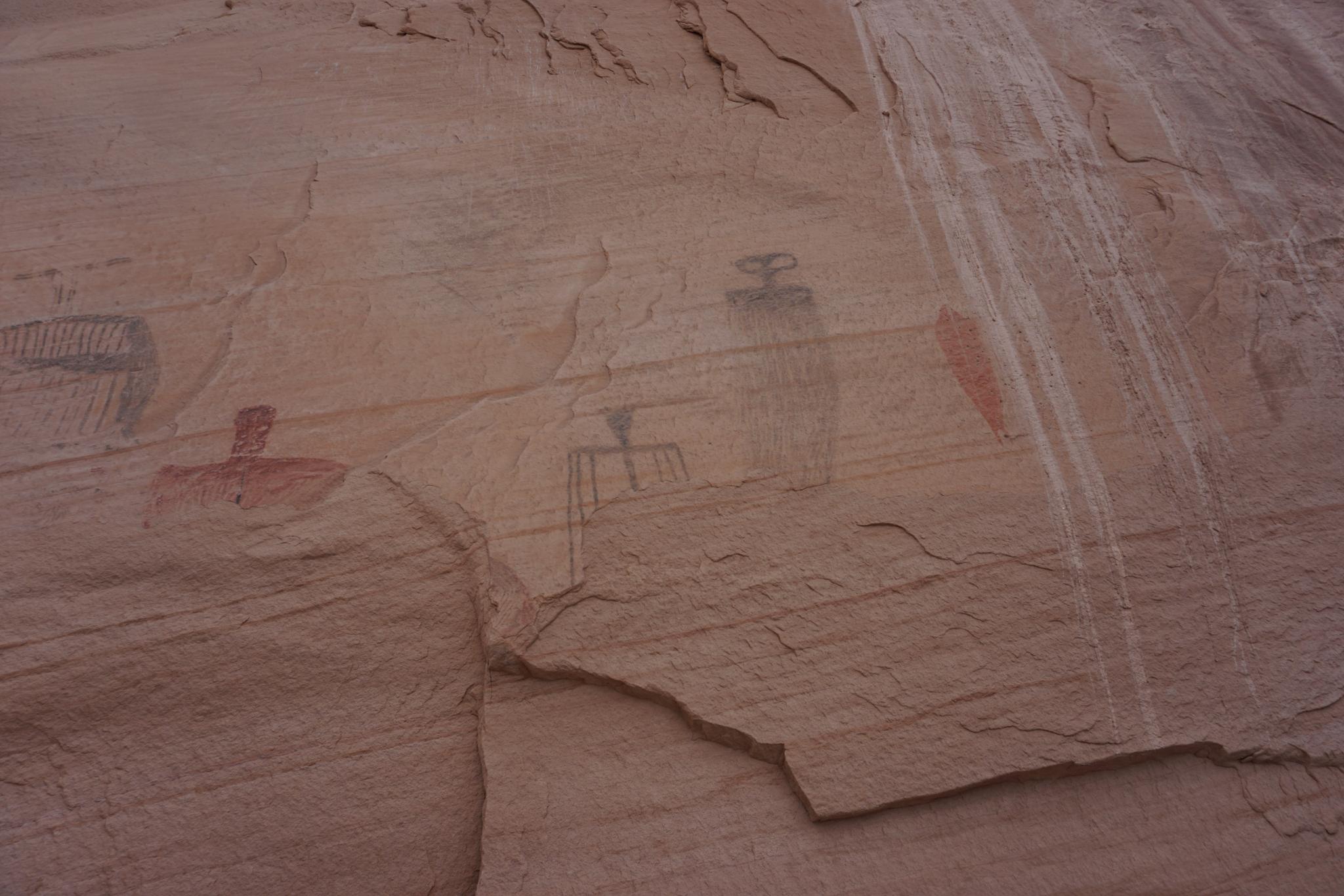
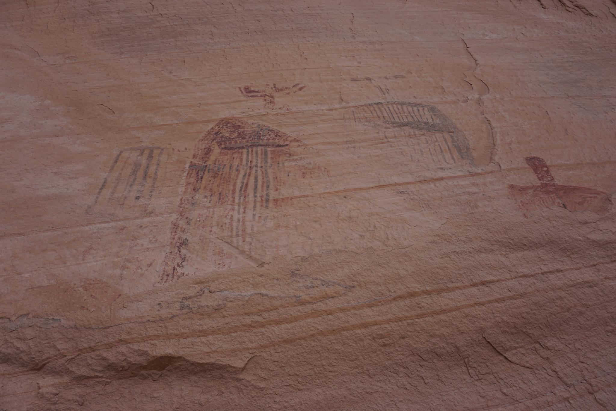
The Barlett Rock Art site is in the same Barrier style as The Great Gallery in Horseshoe Canyon. The haunting eyes, vivid colors, and clean lines of the Barrier Style are one of my favorites to see. The Bartlett site is north facing and must have been substantially larger before the lower portion of the rock flaked off. Though unfortunate some of the panel has been lost to the millennia, what is left is still well worth the short hike to visit.
Getting There
Note: The last 0.5 miles is a high clearance road, but easily walked if needed.
From Moab, head north on US-191 toward I-70. About 11 miles north of town is the junction with SR-313. This is also the road to Canyonlands. Follow SR-313 for 8.5 miles to a dirt road on the right (north side of the road).
Route Description
Rock art and historic sites are fragile, non-renewable cultural resources that, once damaged, can never be replaced. To ensure they are protected, please:
- Avoid Touching the Petroglyphs: Look and observe, BUT DO NOT TOUCH!
- Stay on the Trails: Stay on the most used trails when visiting sites, and don't create new trails or trample vegetation.
- Photography and Sketching is Allowed: Do not introduce any foreign substance to enhance the carved and pecked images for photographic or drawing purposes. Altering, defacing, or damaging the petroglyphs is against the law -- even if the damage is unintentional.
- Pets: Keep pets on a leash and clean up after them.
- Artifacts: If you happen to come across sherds (broken pottery) or lithics (flakes of stone tools), leave them where you see them. Once they are moved or removed, a piece of the past is forever lost.
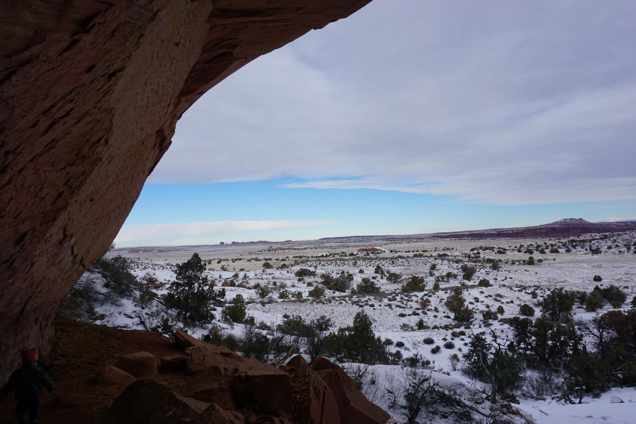
From the trailhead, a keen eye can spot the panel in the alcove. Follow the cairned and marked trail that crosses slickrock before going to the base of the alcove. The alcove and panel would be an excellent place to visit on a hot summer afternoon.
Visiting the panel is a short hike that most, including young children, can enjoy.
Maps

12S 602906E 4276816N
38°38'02"N 109°49'04"W
12S 602856E 4276701N
38°37'58"N 109°49'06"W