 Hiking
Jenkins Peak
Hiking
Jenkins Peak
Silver Island Mountains
Overview
At 7,268 feet (2,215 m), Jenkins Peak it is the third-highest peak in the Silver Island Mountains and only a few hundred feet lower than the high point of Graham Peak. Like most of the peaks in the range, there are many routes up Jenkins. The route described here climbs the west side of the peak.
The area around Jenkins was the site of fairly extensive mining in the late 1800s and early 1900s. This route up the peak initially uses an old mining trail that winds steeply up the mountain. En route, there are quite a few mining relics to visit. As the mining trail ends, route finding and class 4 ridge scrambling lead to the summit.
Summiting the peak via this route is for advanced hikers with scrambling experience. From the mining trail, there is quite a bit of route finding around and up ridges.
Getting There
Reaching the trailhead starts by going north off I-80 at exit 4. This is a few miles east of Wendover, UT, and about 115 miles west of Salt Lake City.
Route Description
The Mining Trail
From the trailhead, follow the side road east as it heads up the canyon toward the base of the mountain. There is an old-rusted car body, bed frame, and other signs of the old mining activity strewn about. You will see a single track trail climbing the dirt hill in the distance that starts from the bottom of the wash.
Follow the trail as it climbs the steep dirt hill. It is initially easy to find and follow. After gaining a couple of hundred feet in elevation, it comes to a rock platform with an enormous chain. It appears this was part of a tram setup to lower ore from the mines high above. The trail cuts back left (north) just before this platform and continues its steep climb.
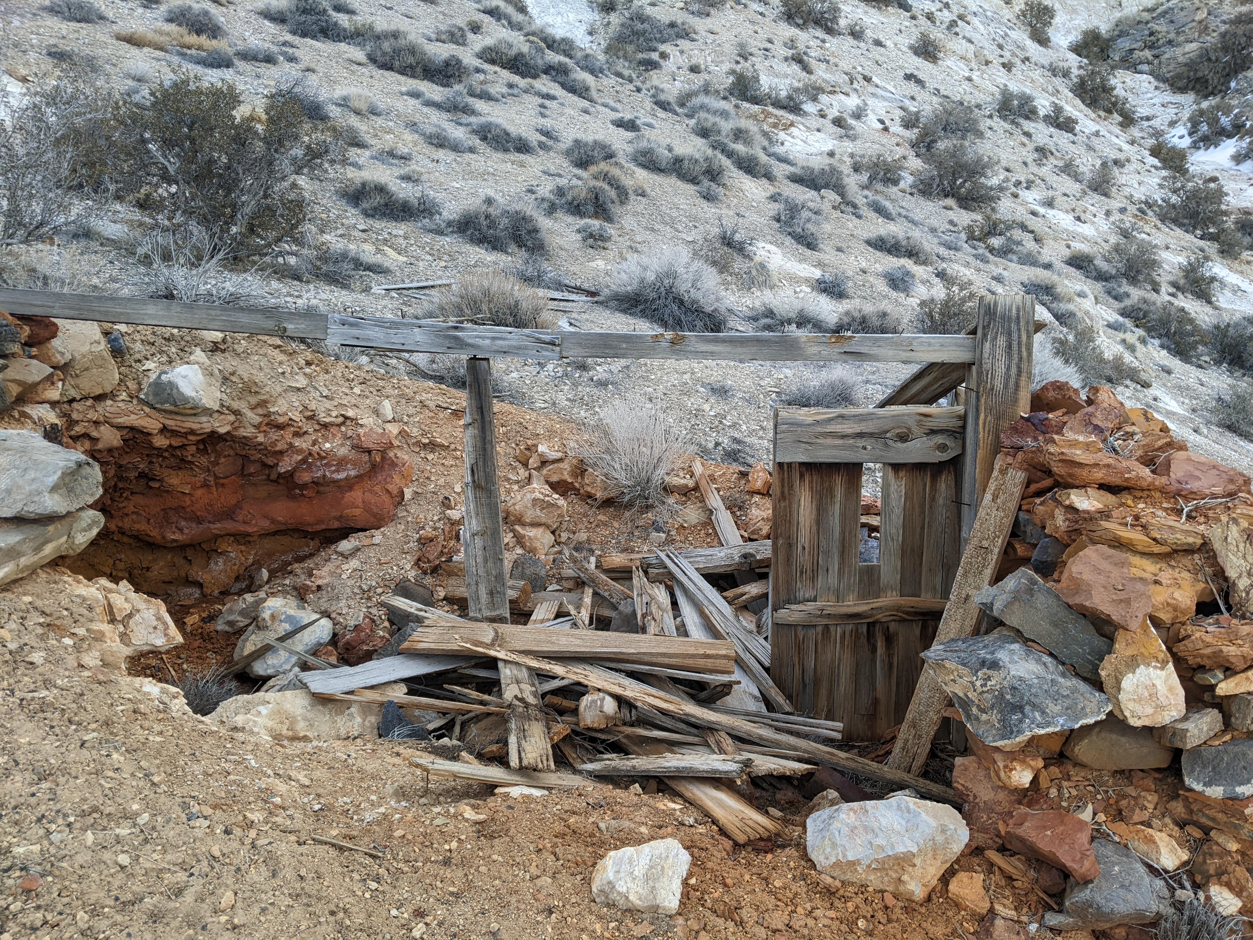
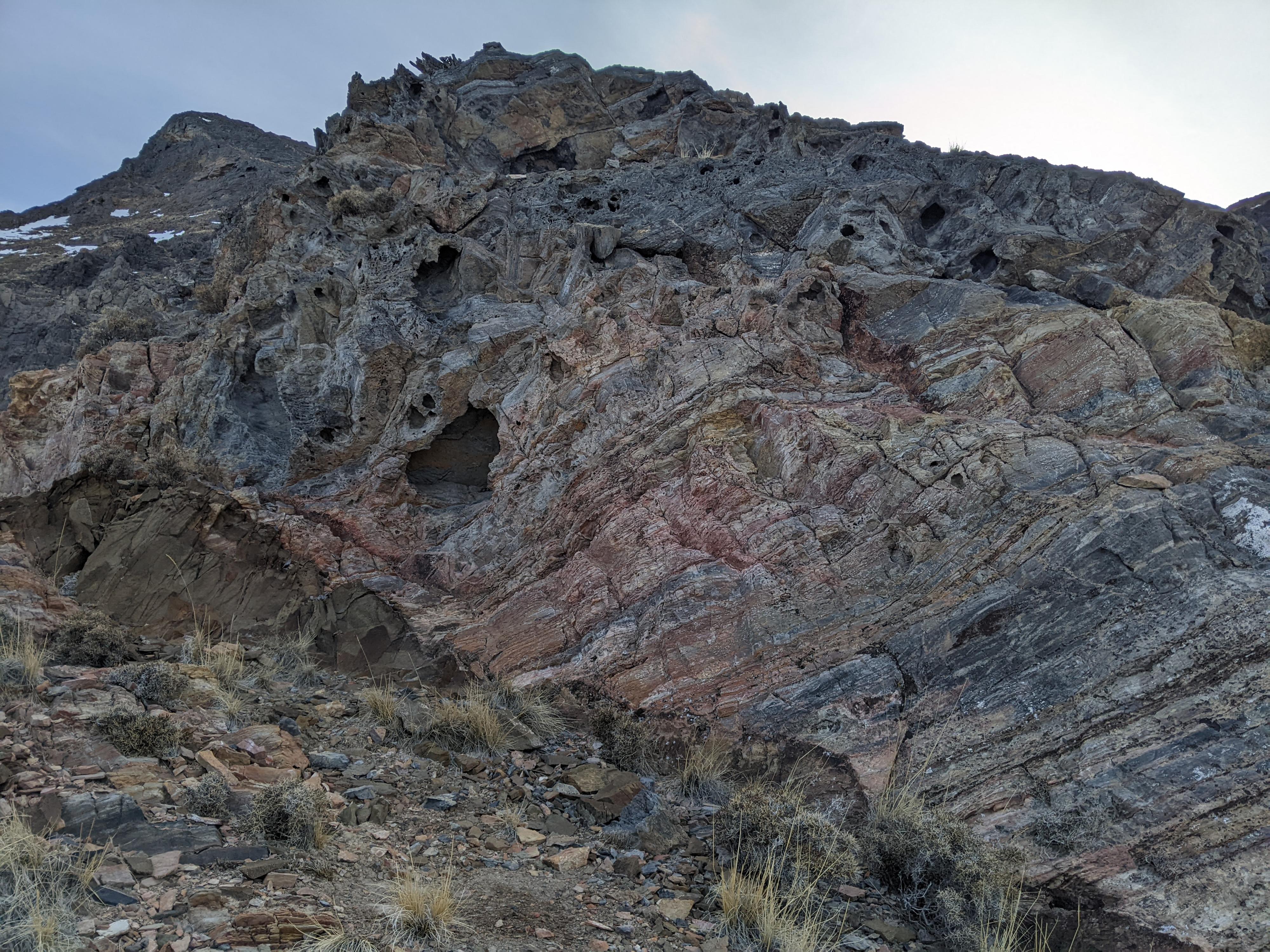
Continuing up, the trail turns again, heads east, and works over near the edge of the canyon. Be sure to keep an eye out here. There is an old building wall and other mining ruins just down off the hillside that are easy to visit. After this mining ruin, the route finding gets more difficult, as the trail through the next section is hard to spot. Generally, the trail works east up toward the rock cliff, passing it just on the right and entering a gully.
Once in the gully, follow it for a few minutes through a short brushy section, then look for the trail to leave on the right and cut back east just past a large cliff on the right.
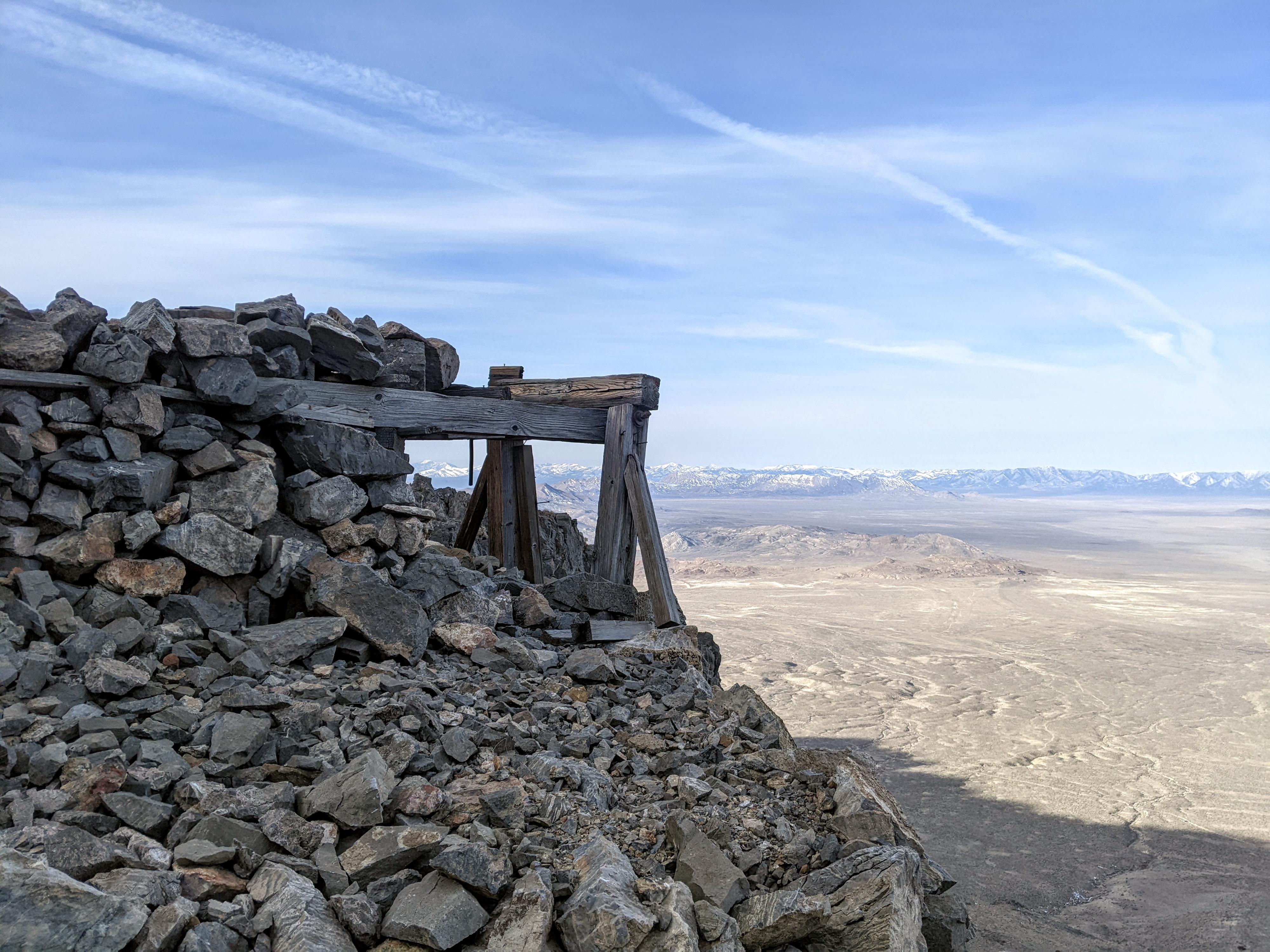
Once you find the correct spot leaving the gully, the trail becomes more defined again. It travels up and east, crossing over a canyon and climbing steeply up to a ridge and old wooden trestle. I assume ore was moved from this area to the area down below with the large chain via a suspended cable.
Scrambling To The Peak
The wooden structure marks the start of the scramble to the summit. There are many options, but I'll describe our route, which, we thought, was very scenic and fun. I recommend the route to the summit from here for experienced hikers with some scrambling experience only.
From the wooden structure, continue just around the corner only about 200 feet, then start climbing north up to the ridge. Once at the ridge, follow it directly up as it climbs the peak, generally heading east. The ridge has quite a few sections of scrambling. With good route finding, none of these were over class 4, but some areas had a bit of exposure. Some ridge climbing sections can be bypassed via looser scrambling generally on the right. The position and views along the ridge are excellent!
The ridge gives way to more gentle terrain to get to the summit ridge. The summit ridge is easy over to the true summit. The summit has great views of Bonneville Salt Flats and Floating Island to the east. Graham Peak, Campbell Peak, and the northern section of the range is visible as well. A very desolate and jagged landscape.
Optional Loop
We wanted to do a loop on the return, so chose to continue on the ridge north from the summit and descend the next canyon to the north. Shown on the map, this is an option, but the canyon is steep and loose. Not recommended! Farther north along the ridge, the west side canyons become less steep and loose and are likely better options if not wanting to return the same way you came.
Photos
Maps

12T 260087E 4532266N
40°54'23"N 113°50'54"W
12T 260699E 4532242N
40°54'23"N 113°50'28"W
12T 261039E 4532115N
40°54'19"N 113°50'14"W
12T 261132E 4532161N
40°54'21"N 113°50'10"W
12T 261397E 4532272N
40°54'24"N 113°49'59"W
12T 261407E 4532040N
40°54'17"N 113°49'58"W
12T 261441E 4531987N
40°54'15"N 113°49'56"W
12T 261477E 4532040N
40°54'17"N 113°49'55"W
12T 261904E 4532224N
40°54'23"N 113°49'37"W