 Hiking
Ladyfinger Point
Hiking
Ladyfinger Point
Antelope Island
Overview
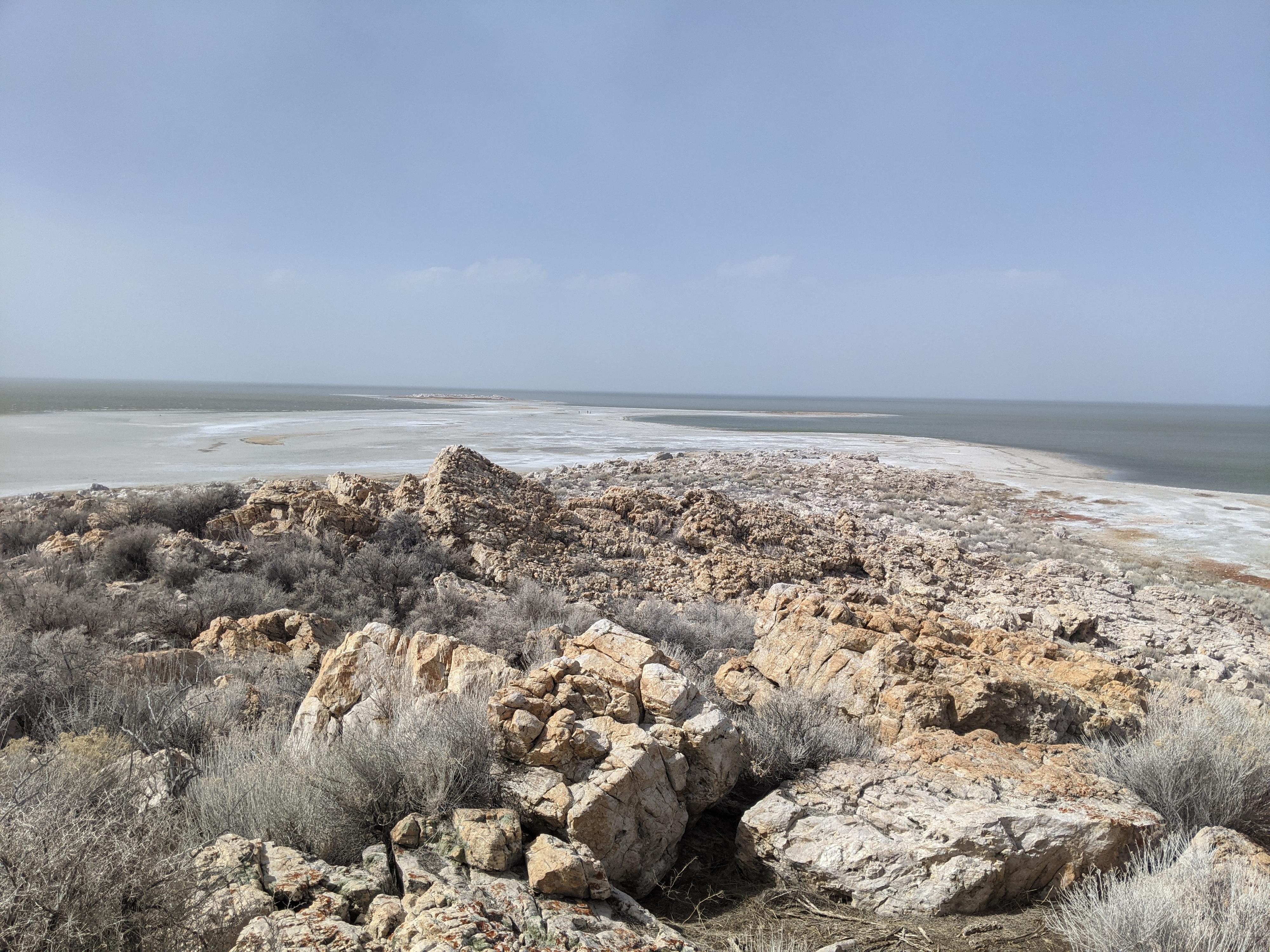
Ladyfinger Point is the first trail reached when reaching Antelope Island. At about 0.25 miles, it is more of a stroll than a hike. Though short, this is a stroll I have done often and really enjoy. The point is an excellent viewpoint for taking in the expanse of the Great Salt Lake. Sunsets and sunrises at the point can be exceptional!
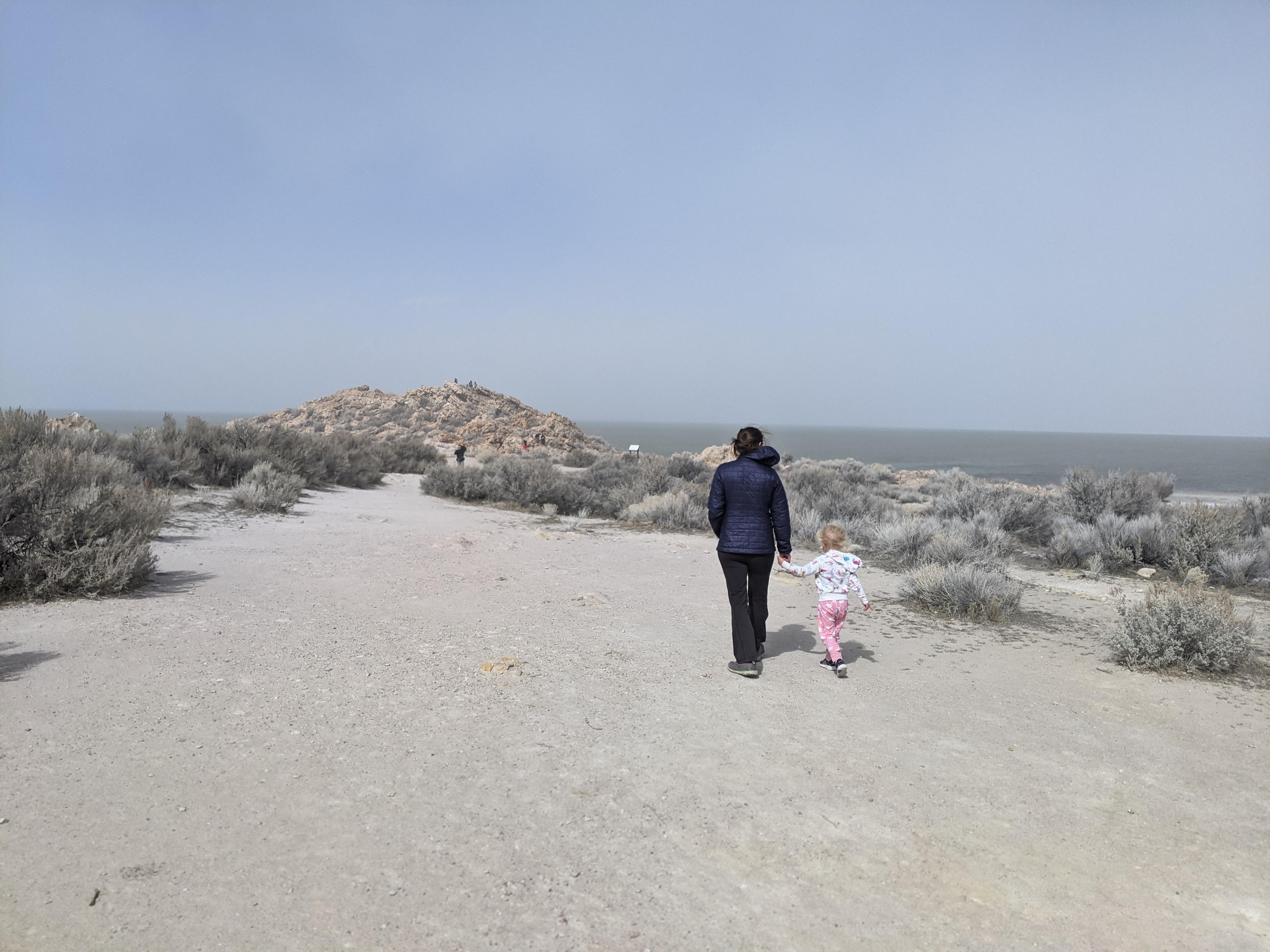
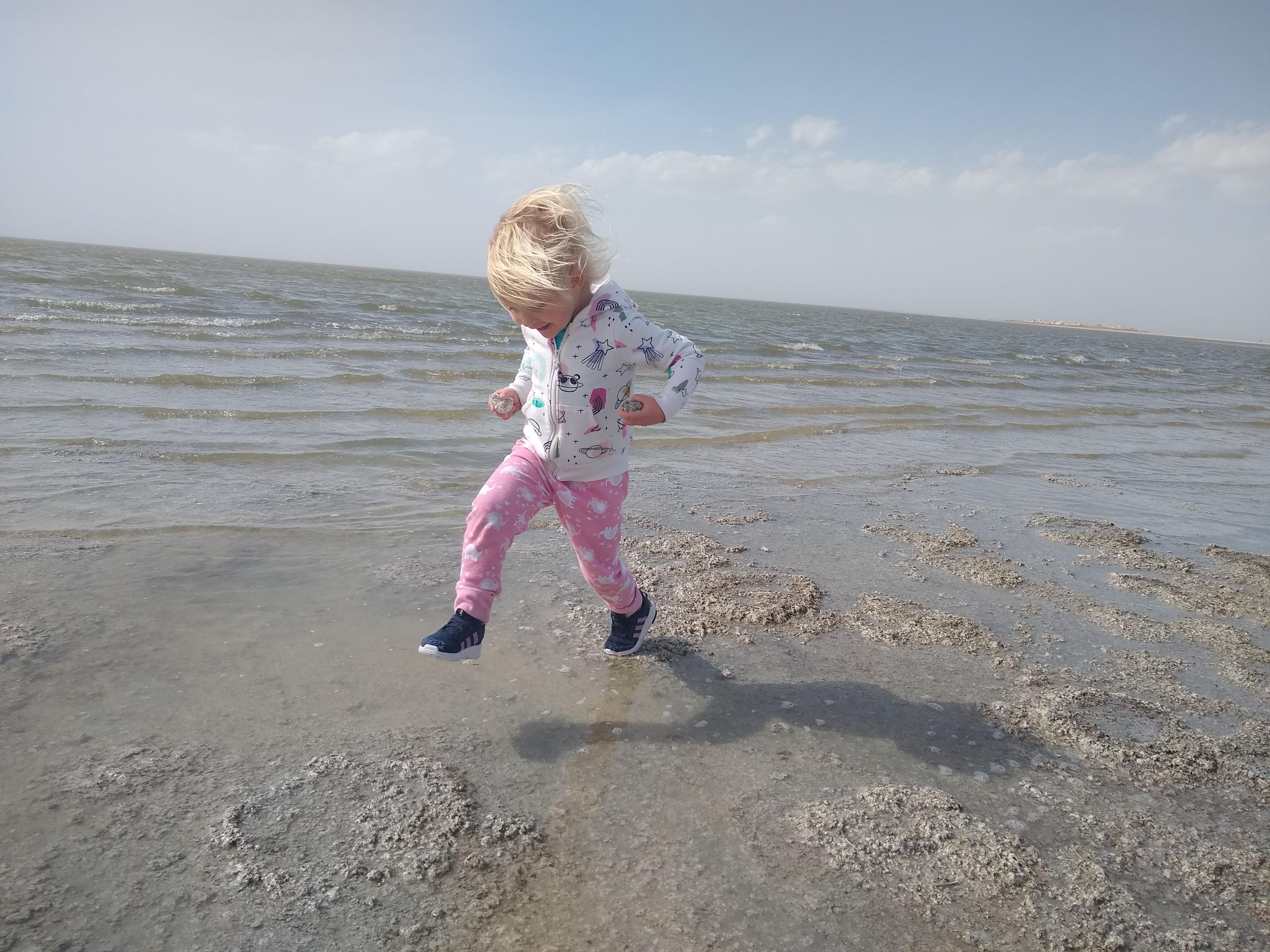
The short hike a good one for families. Near the point, large boulders allow seemingly endless climbing and scrambling opportunities for little ones! Our daughter has really enjoyed this hike every time we have done it. Reaching the lakebed from the point is easy and gives kids an opportunity to see the lakebed (or lake depending on water level) up close and look at the lake ecology.
From the point, the small rock outcropping to the west is Egg Island. The island is connected to Antelope Island when the water level is low. Egg Island was named because of the nesting birds that use the small rocky outcrop for nesting. When water levels are high enough to make Egg Island a true island, it is an excellent and pretty secure place to have a nest. To protect nesting birds, Egg Island is closed to access year-round. If you walk toward the island, there is a boundary sign back from the island that you are not allowed to go beyond to visit the island proper.
The large island visible to the north from Ladyfinger Point is Fremont Island. This island was visited and documented by John Fremont and company in 1843. Hoping for game and timber, Fremont named the island Disappointment Island for its lack of resources. History renamed it in his honor.
Getting There
The trailhead is reach by first getting to Antelope Island. This is off I-15, west of Layton. Take exit 332 off I-15, and head west on Antelope Drive. About 7 miles from the freeway is the entrance to the park.
From the entrance to the park, cross the causeway and go right at the first junction after the causeway. The trailhead is 0.6 miles from the first junction on the right and well signed. There is a pit toilet at the trailhead.
Route Description
From the parking area, which has a restroom, the trail heads north to the point. Our favorite route is to hike the trail to the point, then work down west through the boulders and walk along the lake (or lakebed depending on water level) back to the trailhead.
Photos
Maps

12T 394983E 4545971N
41°03'30"N 112°14'59"W
12T 394751E 4546150N
41°03'35"N 112°15'09"W
12T 393820E 4546172N
41°03'36"N 112°15'49"W
12T 394001E 4546190N
41°03'36"N 112°15'41"W