 Hiking
Dog Lake
Hiking
Dog Lake
Big Cottonwood Canyon
Overview
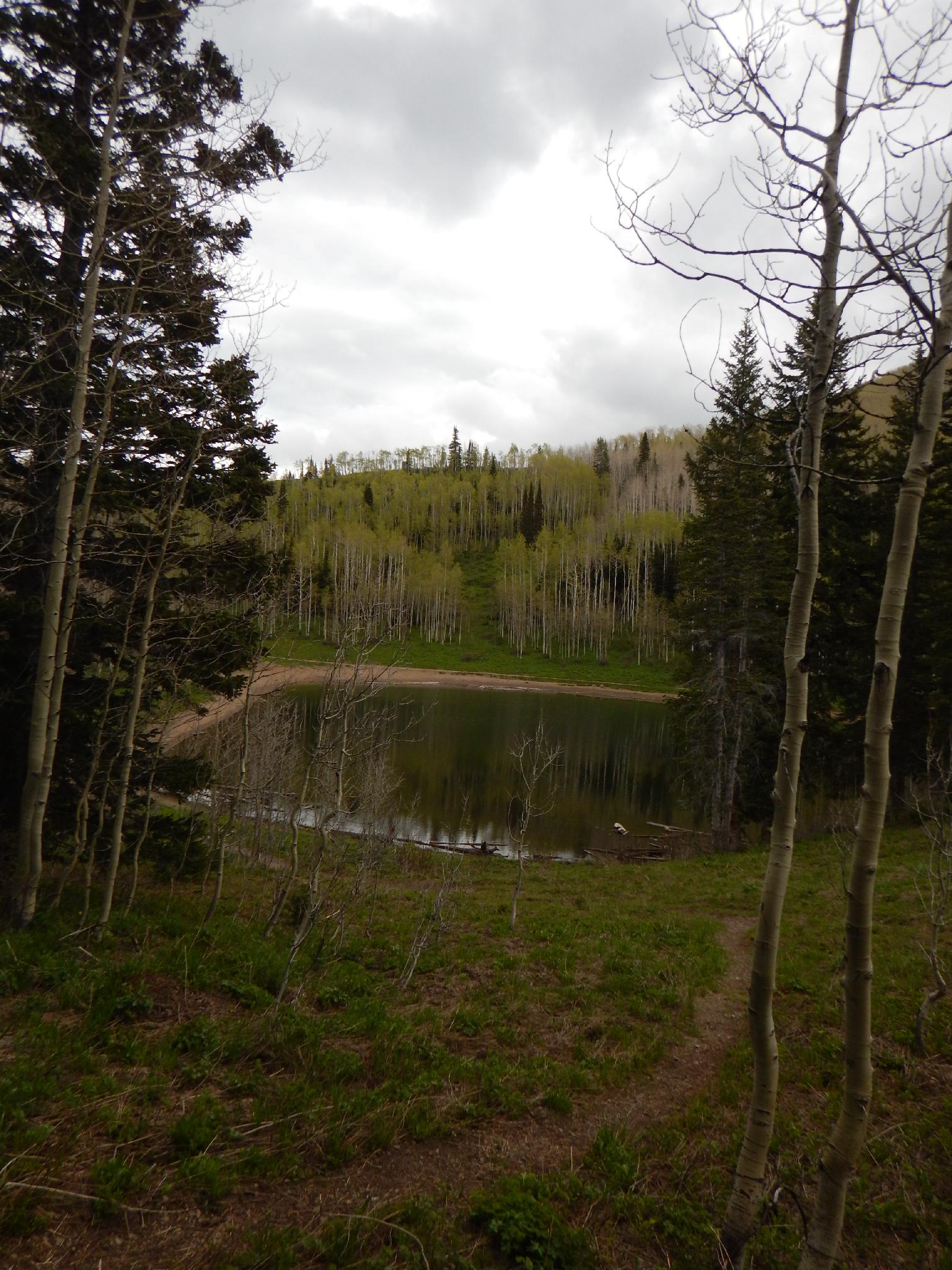
Dog Lake is one of my favorites, and was one of my regular evening fast hikes/runs when I was trail running regularly. The hike, like most in the Wasatch, is fairly steep, but offers rewarding views and a nice mountain lake as a reward. Though named Dog Lake, dogs are NOT allowed on the Big Cottonwood Canyon trail to the lake. They ARE allowed on the Mill Creek Canyon trail that leads to the same lake, and you are very likely to see quite a pack of dogs enjoying the cool waters on a summer weekend afternoon. It is a popular destination for dogs and their humans alike.
There are many options for this hike. It adds 0.5 miles and 500+ feet of gain, but I think it is almost criminal to not visit Reynolds Peak while visiting Dog Lake. Highly recommended, it offers excellent views and rounds out the day. Also highly recommended is to return down Butler Fork, making this a loop hike. If returning down Butler Fork, you will need two cars, the charisma and charm needed to hitchhike, or be willing to walk about a mile along the road. I chose the later option, and it adds about 15-20 minutes to the hike.
Getting There
Big Cottonwood Canyon is on the east side of the Salt Lake City Valley. Get there by taking I-215 to the east, taking exit 6 off the interstate and heading east.
Follow 6200 South which becomes Wasatch Blvd for 1.8 miles to the stop light and signs for Big Cottonwood Canyon.
Turn left at the light and reset your odometer.
Drive up Big Cottonwood Canyon. At 8.2 miles is the Butler Fork trailhead. If you are doing the loop hike and have 2 cars, leave one here.
Continue on to 8.9 miles, where there is a large parking area on each side of the road.
Route Description
To Dog Lake (2.6 miles)
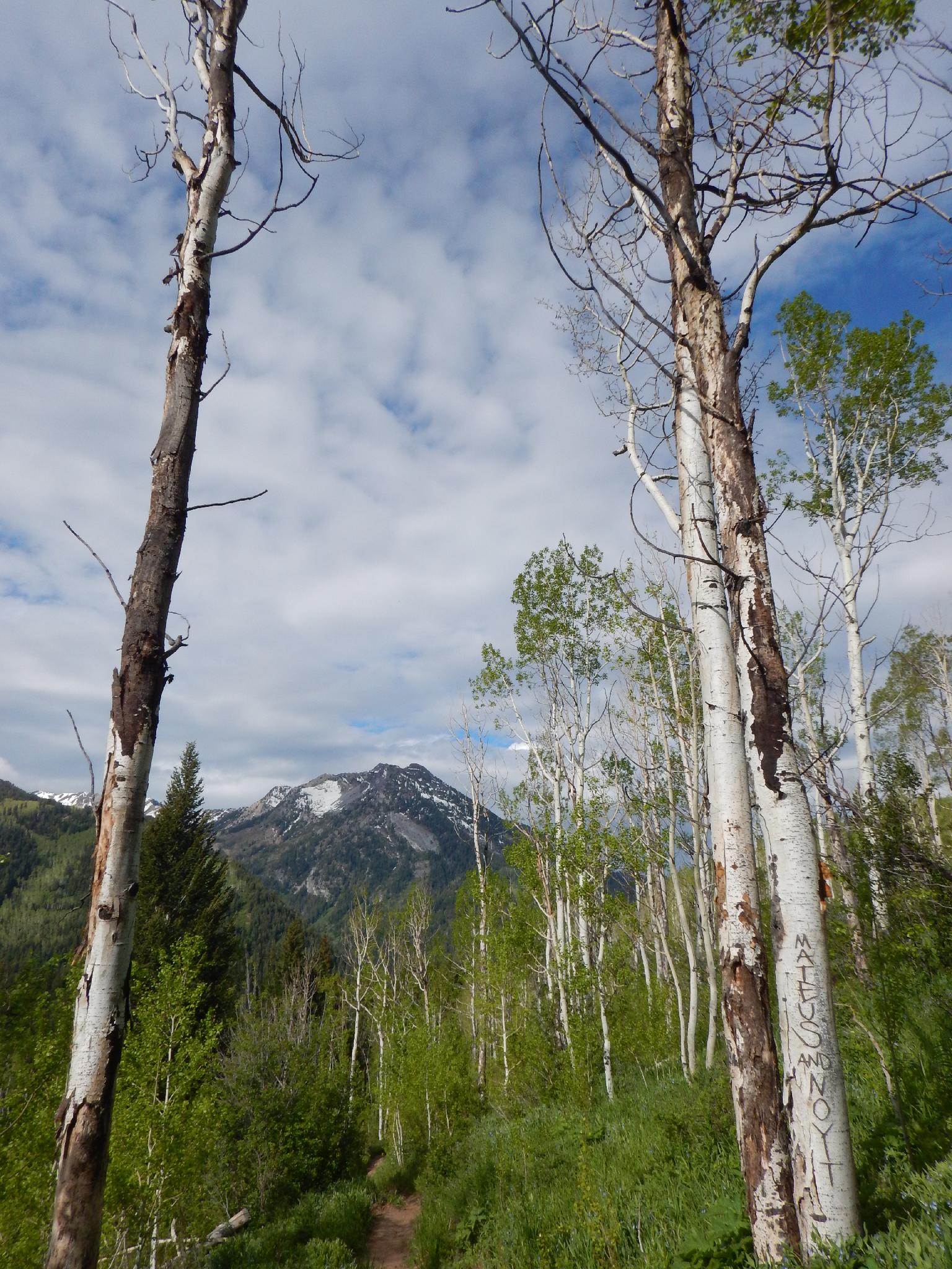
From the trailhead, follow the trail north. It ascends east, then more steeply north up through aspen trees before reaching the Desolation Lake trail at about 2 miles. Go left here, as the trail steepens in the final 0.5 miles to the lake.
To Reynolds Peak (0.7 miles round trip)
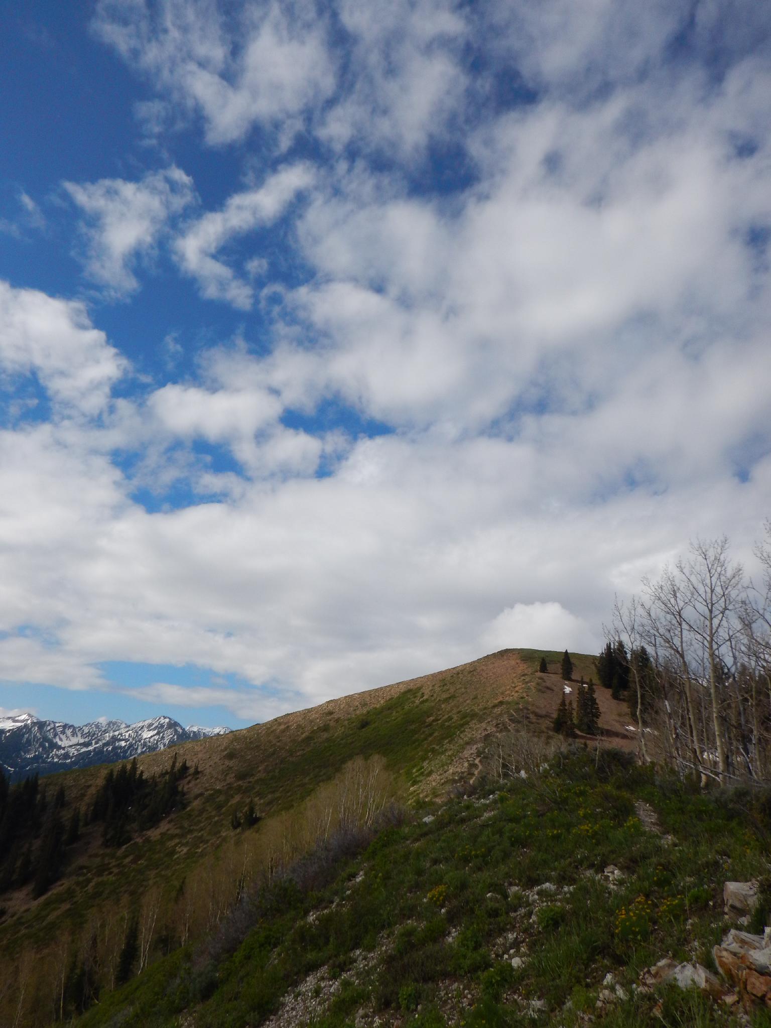
If visiting Reynolds Peak, follow the trail on the SOUTH side of the lake as it meanders around. Just before the main junction with the Desolation Trail, a side trail goes off on the left (south). It is well travelled, and easy to find. It works through a bit of brush before reaching the more easily climbed ridge to the summit and amazing views to the mountains of the south.
Making A Loop Down Butler Fork (2.5 miles)
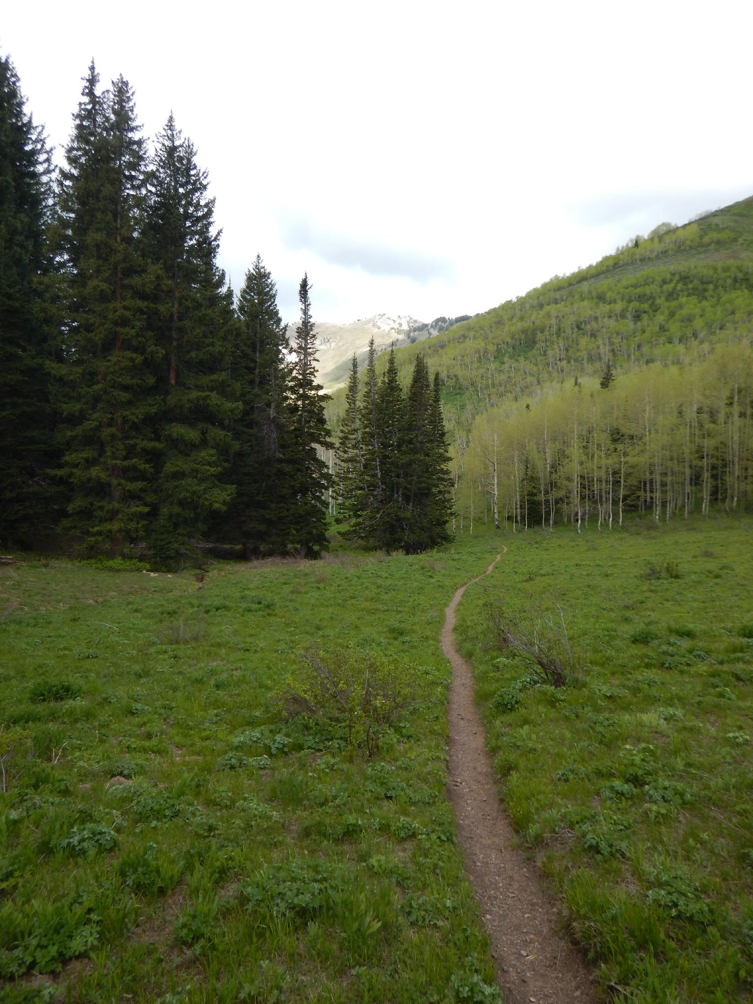
To make a loop down Butler Fork, go west on the Desolation trail. Shortly (0.3 miles / 5 minutes) is the junction with Butler Fork. Go left (south) as the trail begins descending Butler Fork. The descent down Butler Fork is stunning, with big views and a stream that the trail soon joins. Near the highway, the junction with Mill A Basin is reached. Go left, with the highway 10 minutes or so down canyon.
Maps

12T 445198E 4500054N
40°38'58"N 111°38'53"W
12T 446749E 4501458N
40°39'44"N 111°37'48"W
12T 446011E 4501971N
40°40'01"N 111°38'19"W
12T 445783E 4502017N
40°40'02"N 111°38'29"W
12T 445413E 4501448N
40°39'44"N 111°38'45"W
12T 445343E 4502031N
40°40'02"N 111°38'48"W
12T 443788E 4500741N
40°39'20"N 111°39'54"W
12T 444065E 4500044N
40°38'58"N 111°39'42"W