 Hiking
Calico Tanks
Hiking
Calico Tanks
Red Rock Canyon Conservation Area
Overview
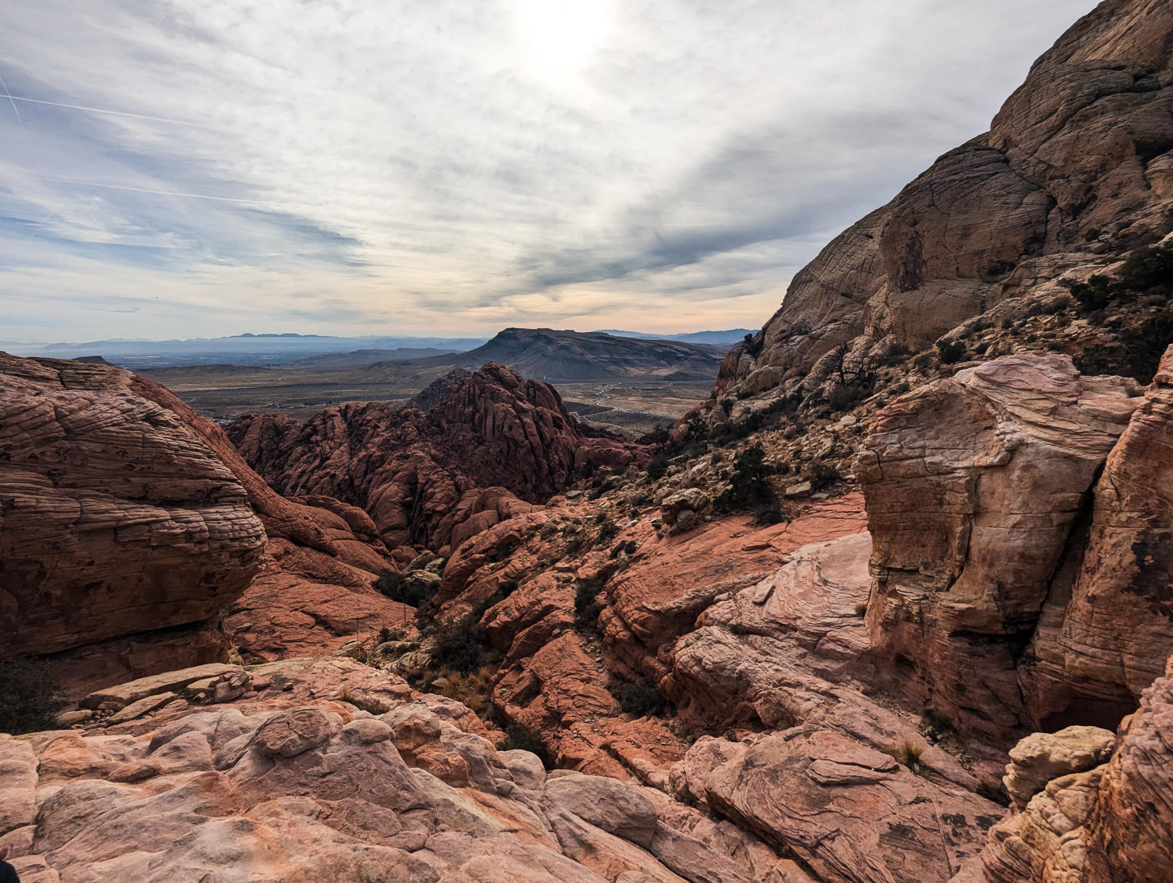
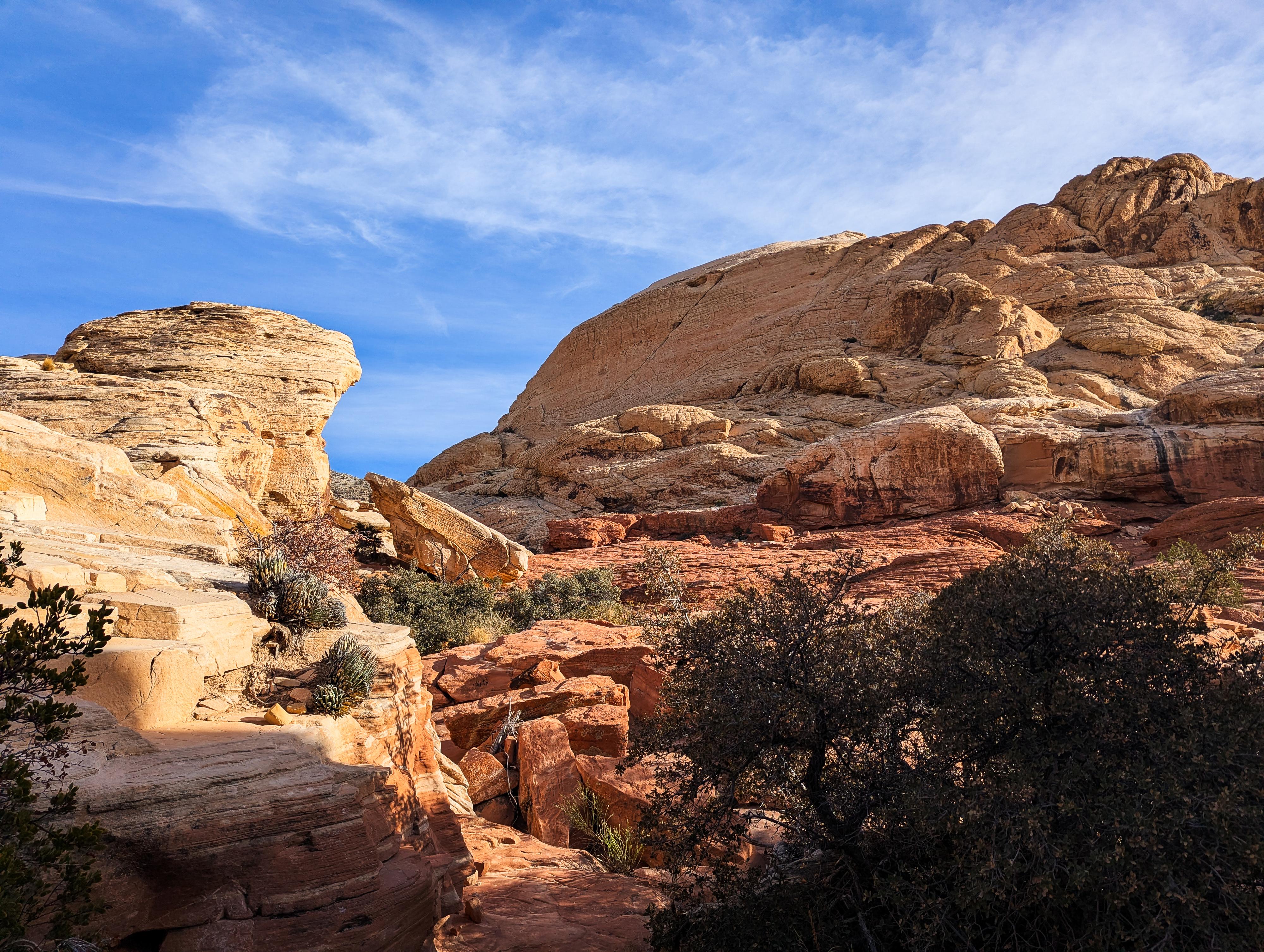
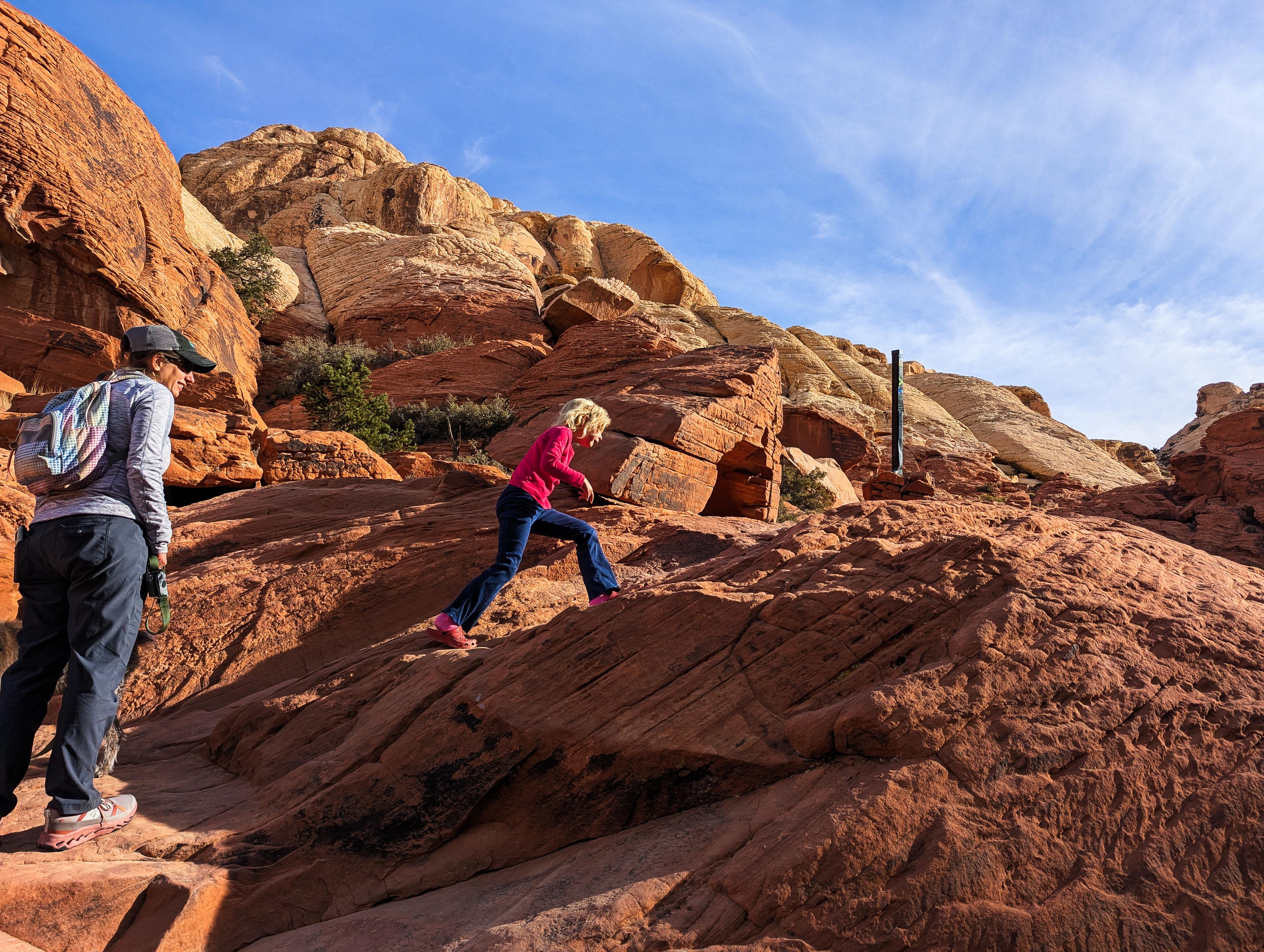
The Calico Tanks trail leads through sandstone formations, desert vegetation, and to a natural water tank (or "tinaja") nestled among the red and white sandstone cliffs. This is a popular trail in Red Rocks for good reason. It is colorful, a little challenging, and has spectacular views. This is one of my top recommendations for visiting Red Rocks. There are a few minor scrambling spots, but I would rate this suitable for most, though kids and dogs may need help in a few spots.
Fault Lines and Uplift: The landscape was shaped by tectonic activity along the Keystone Thrust Fault, which pushed older limestone over the younger sandstone, creating the dramatic gray cliffs and Turtlehead Peak seen in the distance during the hike.
Timed entry reservations can be made at Recreation.gov by visiting https://www.recreation.gov/timed-entry/10075177, or by calling (877) 444-6777.
Getting There
From the Red Rock Canyon fee booth, follow the scenic drive 2.5 miles to the Sandstone Quarry Overlook/Trailhead side road on the right. Follow the side road to its end in about 0.1 miles at the trailhead. There are restrooms at the trailhead.
Route Description
The trail is signed and easy to follow. From the trailhead, head north on the major trail. Be sure to NOT take the left trail at the Grand Circle Loop Jct, but instead continue straight.
In less than 1/4 of a mile from the trailhead, the Sandstone Quarry is on the right. Stay on the main trail as it crosses the wash.
In just a few minutes after crossing the wash is a major junction. Left is signed for Turtlehead Peak, right goes to Calico Tanks. Go right.
The trail stays in the wash bottom for a bit, then turns east and enters a canyon. The white walls grow, then red walls dominate. This section is colorful! The trail has a few obstacles from here to the end of the trail. Some may seem a little daunting to beginners, but all are straightforward with a little care.
As the trail nears its end, it overlooks a large tank (pool). This can be dry or have water, depending on the time of year and recent precipitation. On the other side of the pool, after a short climb, is a viewpoint of the desert around Red Rocks.
Return the same way.
Photos
Maps

11S 639387E 4003044N
36°09'44"N 115°27'01"W
11S 639400E 4003182N
36°09'48"N 115°27'01"W
11S 639337E 4003358N
36°09'54"N 115°27'03"W
11S 640483E 4002957N
36°09'40"N 115°26'17"W
11S 640536E 4002909N
36°09'39"N 115°26'15"W