
 Sinbad Spring
House Range
Overview
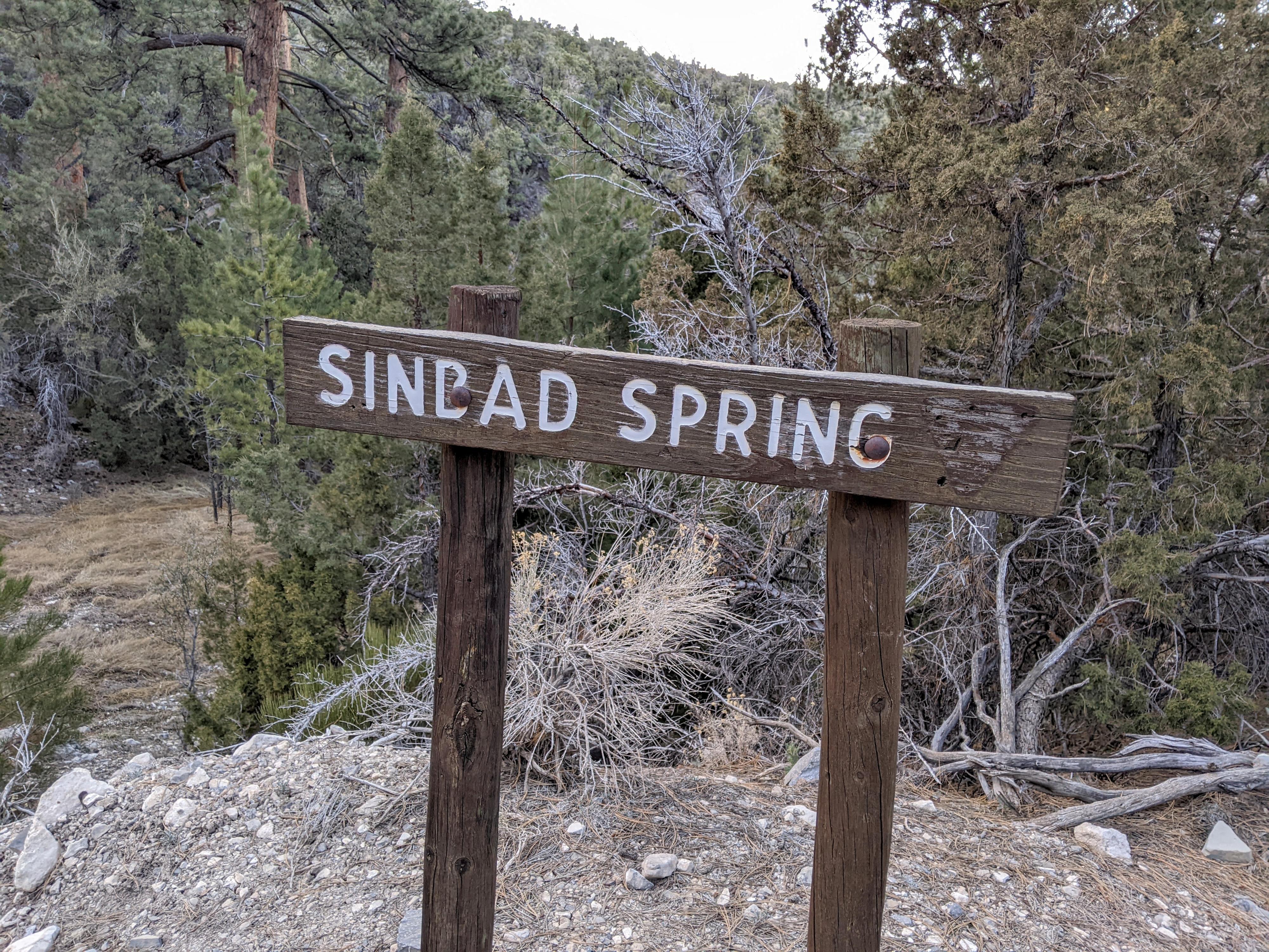
The west desert of Utah is a dry place! The harsh environment makes me appreciate the infrequent springs found in the nooks and crannies of the area. Sinbad Spring is a small oasis in a sea of parched mountains. The spring has been developed for livestock and fills a metal trough before overspilling onto the ground and continuing on its path down the canyon. Not far below the spring, it falls down over a 21 m.
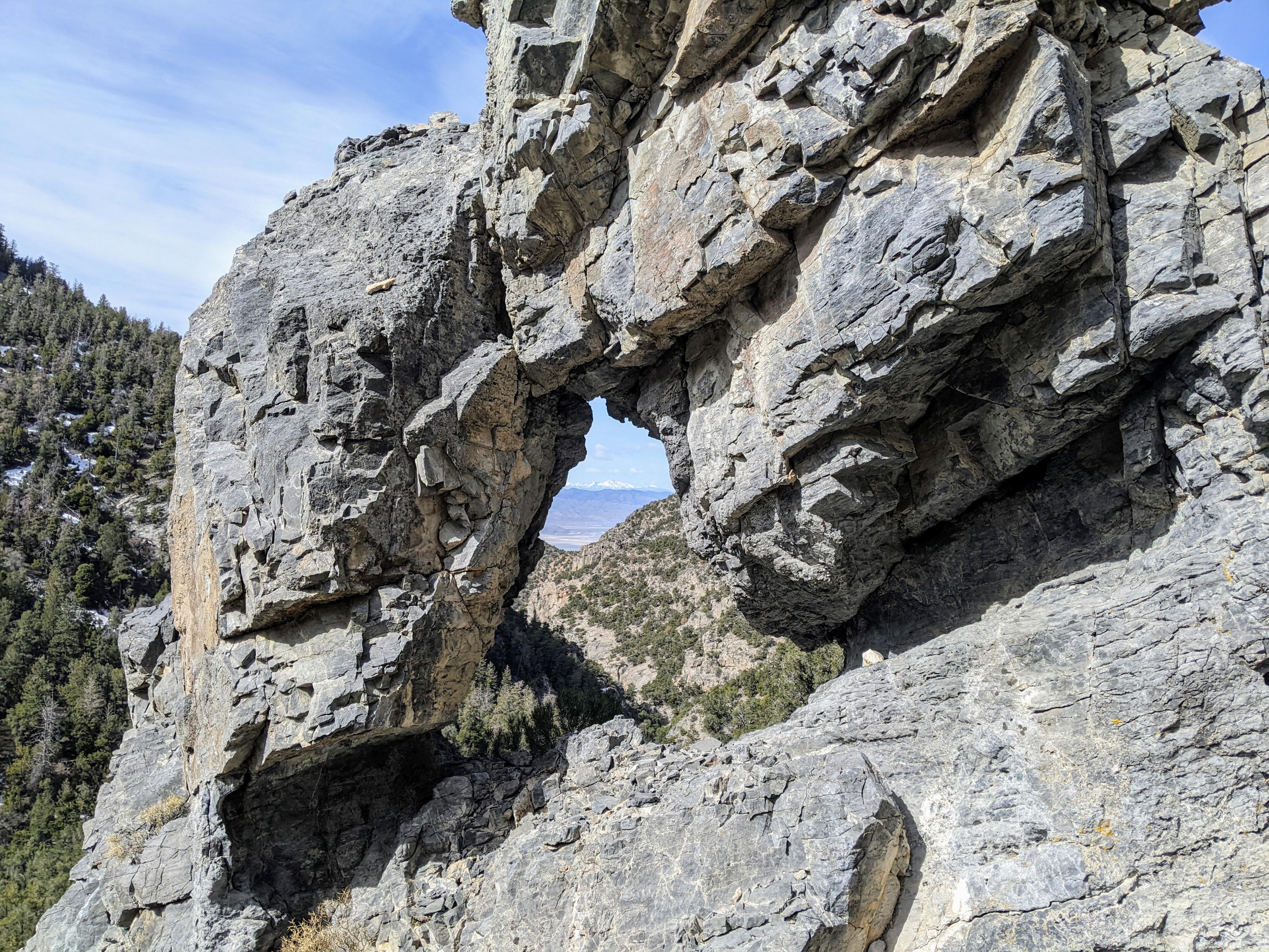
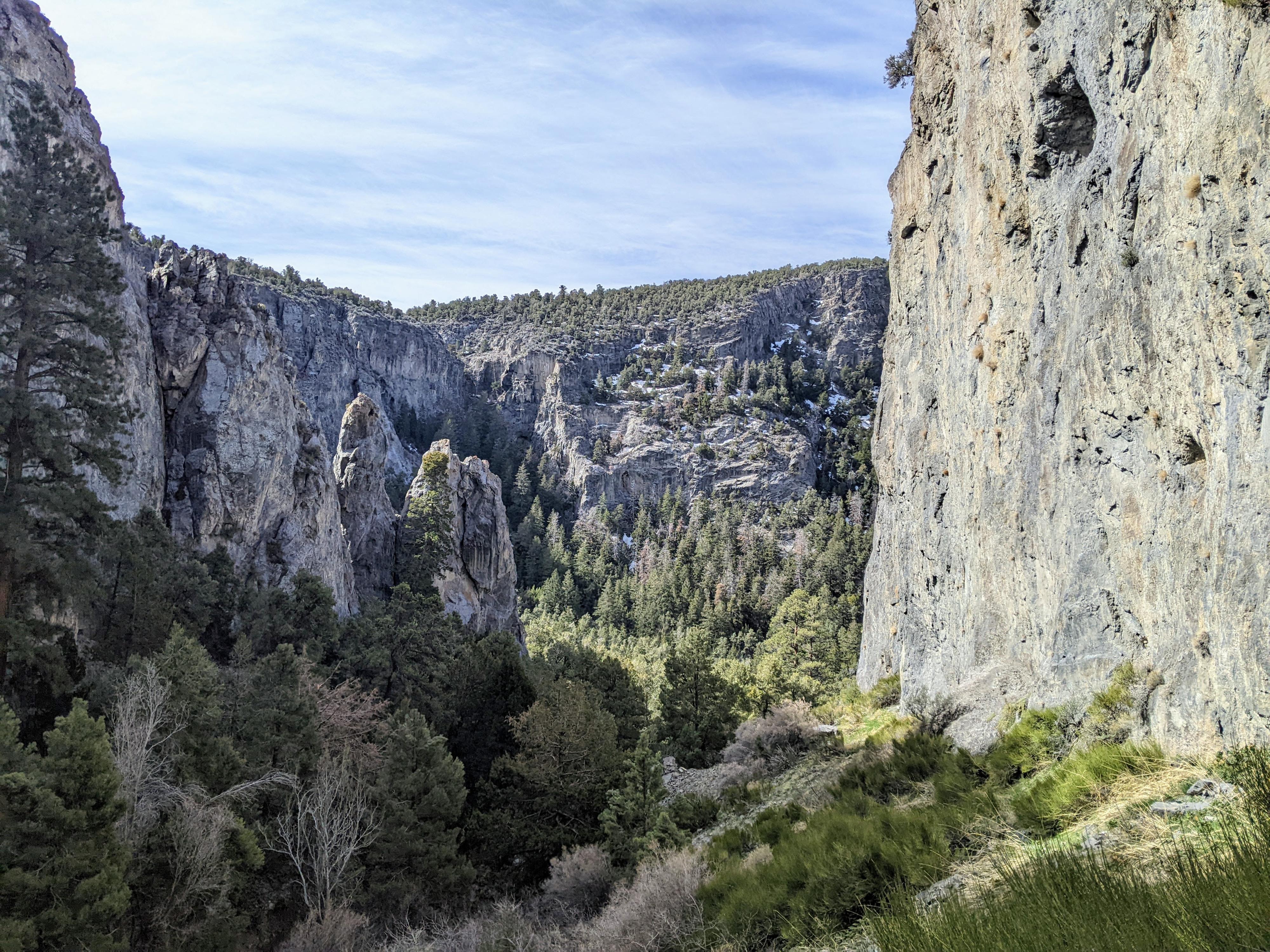
Hikers can visit the spring, then circle around down to the base of the falls, visiting a small natural arch en route. The wild feel, waterfall, and tall limestone cliffs make for a nice, though short outing.
Getting There
From Delta, Ut, head west on US-50 W/US-6 W toward Baker Nevada for about 12 miles to mile post 76.2 where old highway 6 is signed on the right.
Route Description
From the road, head downhill toward the drainage. The spring, with a livestock trough, is on the right a couple of minutes below the road. To visit the waterfall from the top, continue down from the spring just a couple of minutes. There is one down climb (on the left looking down canyon) before getting to the top of the falls proper.
To reach the arch and bottom of the falls requires a bit of route finding. From the spring, head up the small hill, and trend southwest. The goal is to stay somewhat close to the rim of the canyon to your left, but not so close the going is difficult. After just a few minutes (700-800 ft of hiking), a steep slope to the south allows passage down. This is where social trails seem to coalesce, and you are like to see cairns and more of a defined social trail.
Follow the social trail down. There is some steep loose rock in sections, but a close eye avoids anything too difficult. Once down the first level, where you are at the level of the base of a cliff band to the left, follow near the base of the cliff left (east). The arch is soon visible.
From the arch, you can continue along the base of the cliff (east) and down to the canyon bottom. The lush base of the waterfall is a few minutes up the canyon, but may feel like more due to all the trees and vegetation that need to be negotiated en route.
Return the same way.
Maps

12S 300090E 4361609N
39°22'51"N 113°19'16"W
12S 300080E 4361561N
39°22'49"N 113°19'16"W
12S 299914E 4361474N
39°22'46"N 113°19'23"W
12S 300037E 4361500N
39°22'47"N 113°19'18"W
12S 299917E 4361413N
39°22'45"N 113°19'23"W