
 Hiking
Devil's Canyon West
Hiking
Devil's Canyon West
Western Swell
Overview


Devil's Canyon, though a stone's throw from Interstate 70, is one of the San Rafael Swells often overlooked gems. I had ventured into the canyon early into my first wanderings in the Swell. On that hot summer day, I only made it a couple of miles before the heat deterred me and I retreated. The beauty of the canyon was something I had always wanted to re-visit, but kept putting off. It was good to get back and finally spent some time there in 2024.
This is a long, deep, and dramatic canyon with many side canyons to explore and poke around in. There are a couple of points where you can hear road noise from I-70 above, but it is brief, and most of the canyon has deep desert solitude. The canyon has a couple of sections of narrows, as do the side canyons, but if you are looking for long narrows or slot canyons, this is likely not the hike you are looking for.
Devil's Canyon can be visited a few different ways. From the footprints I saw, most hike down to the first and most dramatic narrows, explore around a bit, then return. This makes for a nice 5-ish mile hike, depending on how much you poke around before returning. This version is suitable for beginners and family friendly if the distance hiking in sand is within everyones ability.
Some choose to backpack the canyon, making about 23+ miles round-trip to Devil's Canyon Spring and back without side trips. The biggest issue with backpacking is water! The only perennial water is at Devil's Canyon Spring, about 11-12 miles from the trailhead. If backpacking, and wanting to explore some side canyons, you should start with 2-days worth of water.
Finally, you can take my approach and do a very long day hike exploring as much as you have time and energy for, then returning. This makes for a long and very physical day, but with lighter backpack.
Getting There
Take exit 116 off of I-70, and head south. This is the same exit as the Moore cutoff road, and about 45 miles west of Green River.
Route Description
From the trailhead, head over to the sandy wash bottom of the now wide Devil's Canyon, and head west downstream. The upper section is wide, with many wild horse trails crisscrossing it. In general, it seemed easiest to say in the main wash bottom rather than try to cut corners.
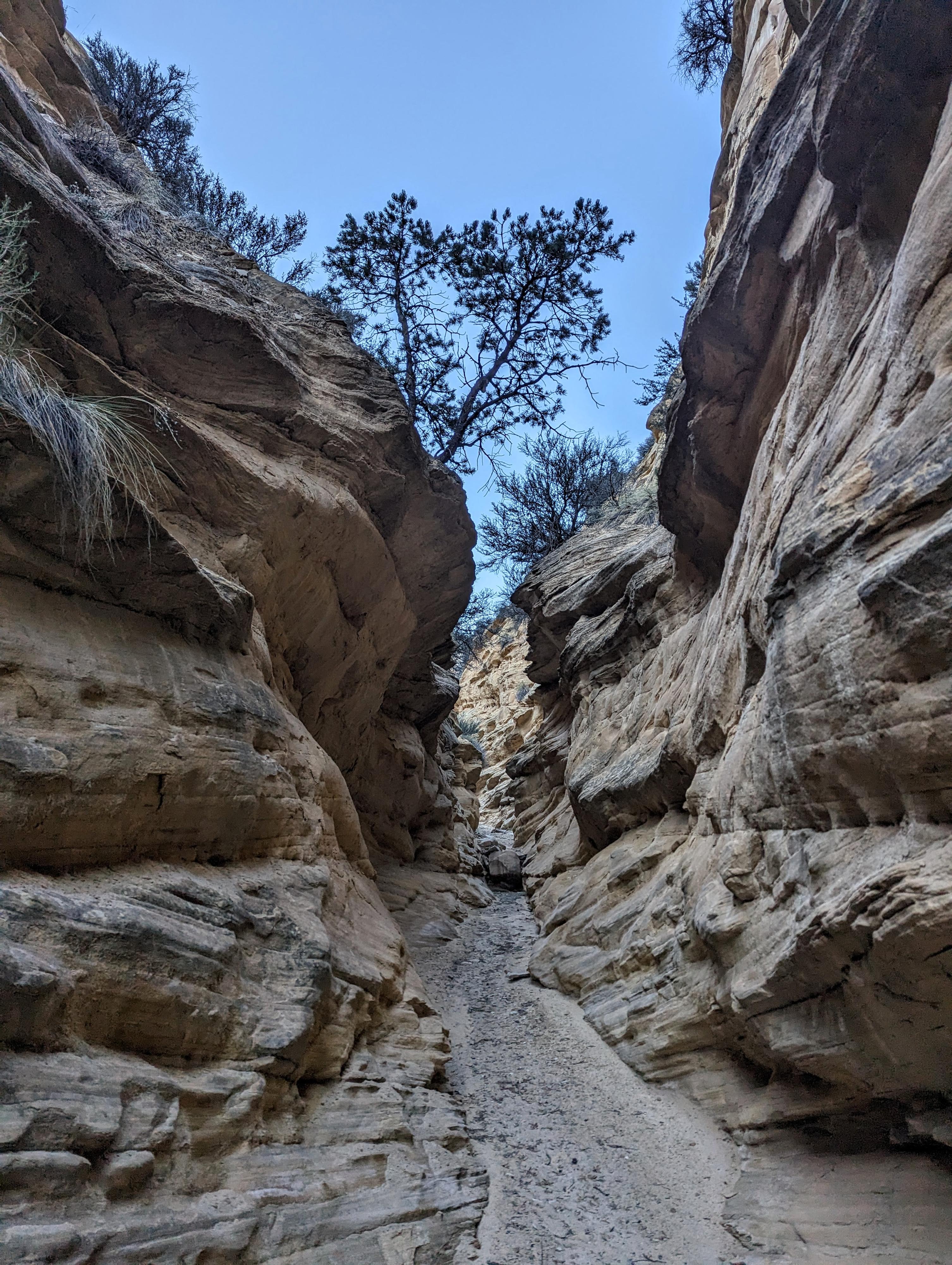
Narrows in SC1
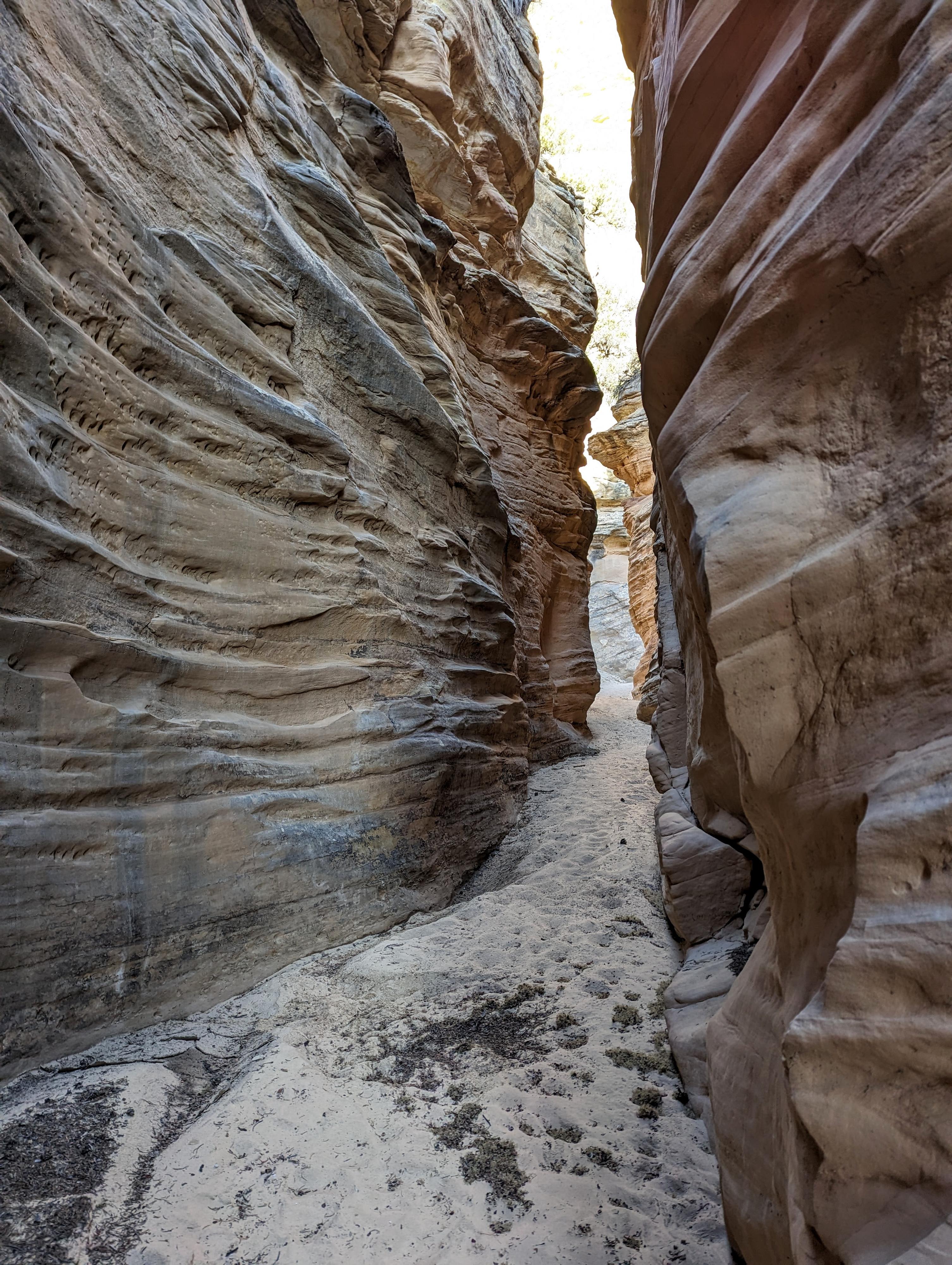
Devils Canyon Narrows
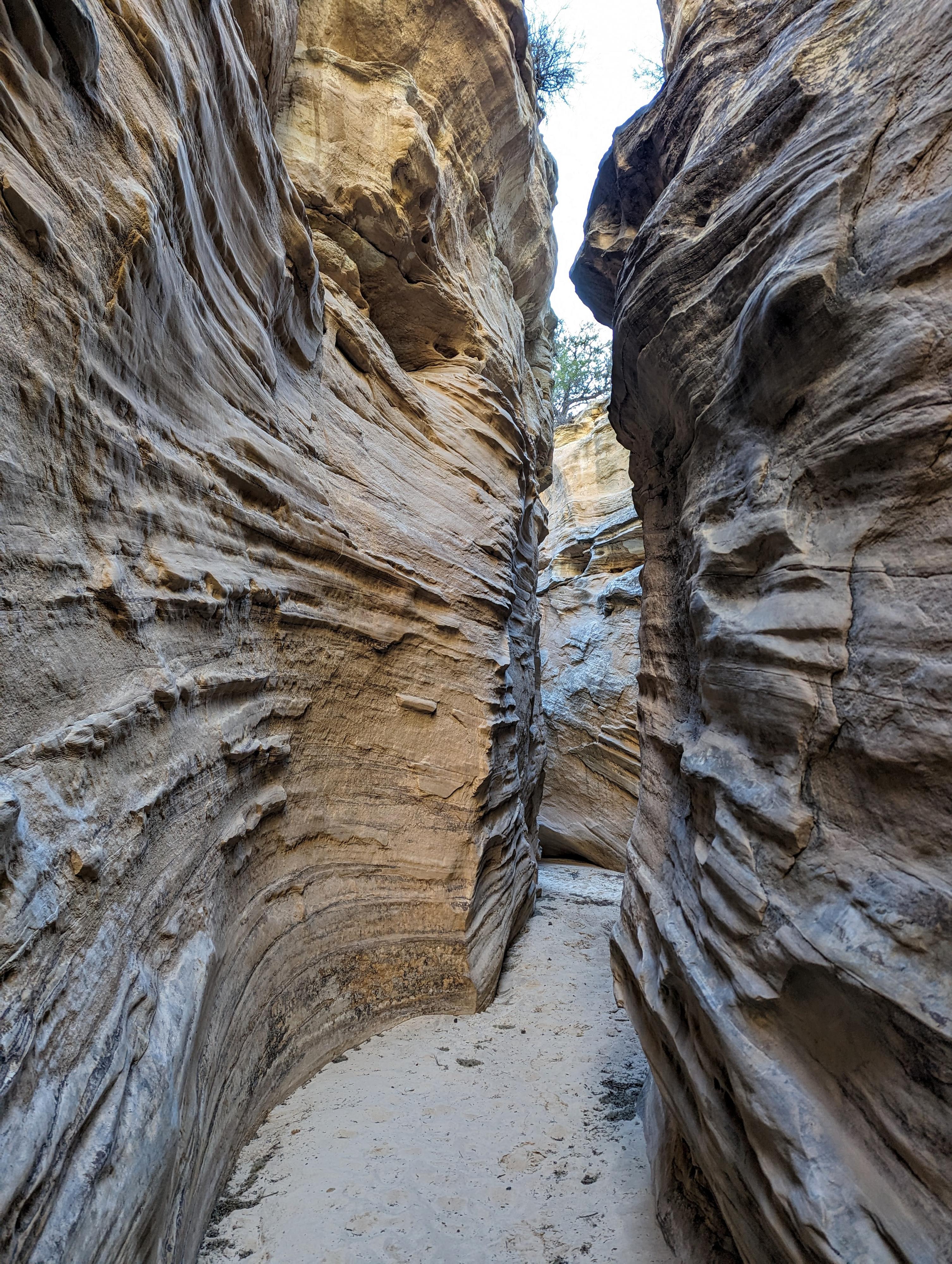
Devils Canyon Narrows
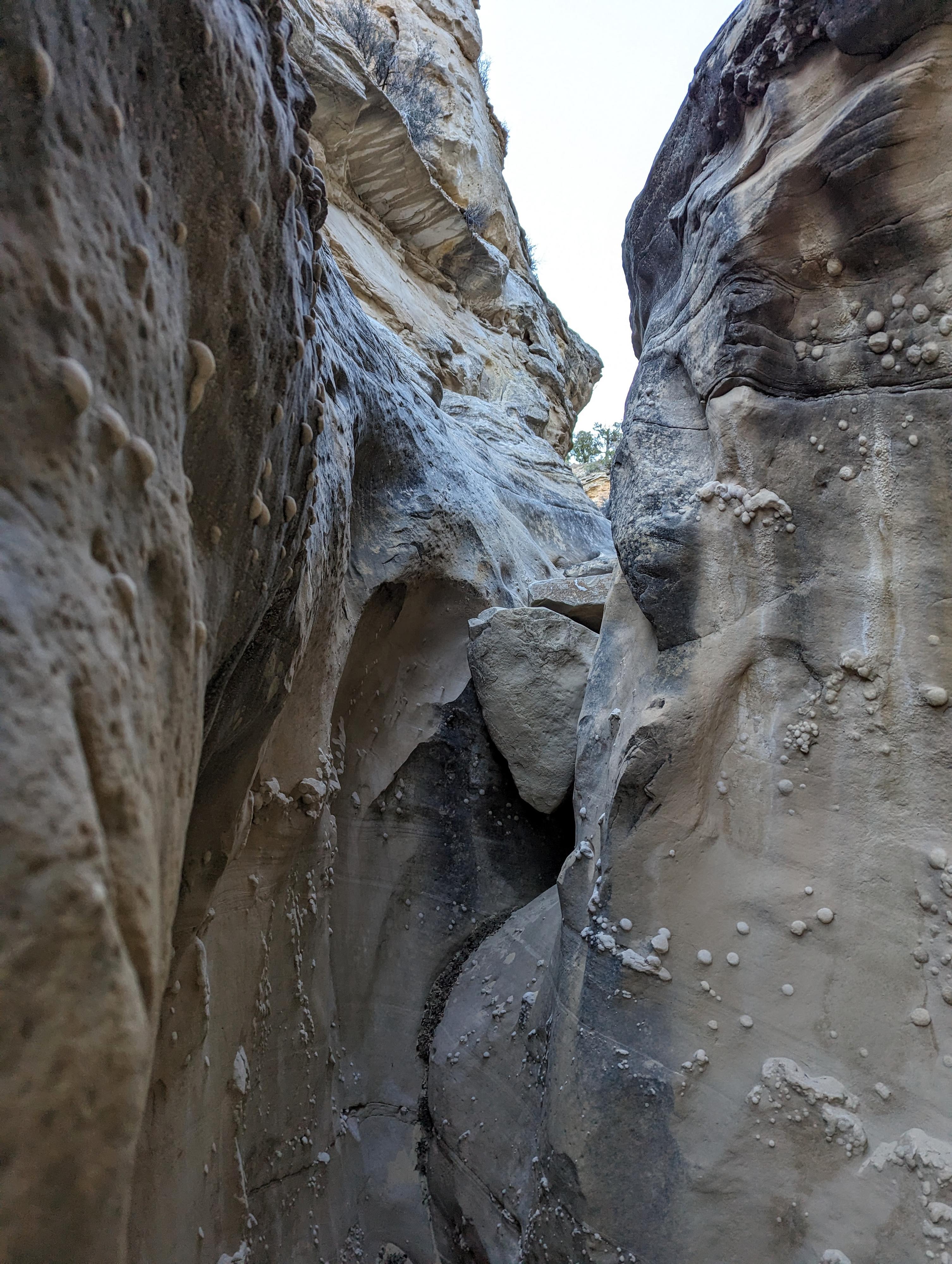
The narrows of SC2
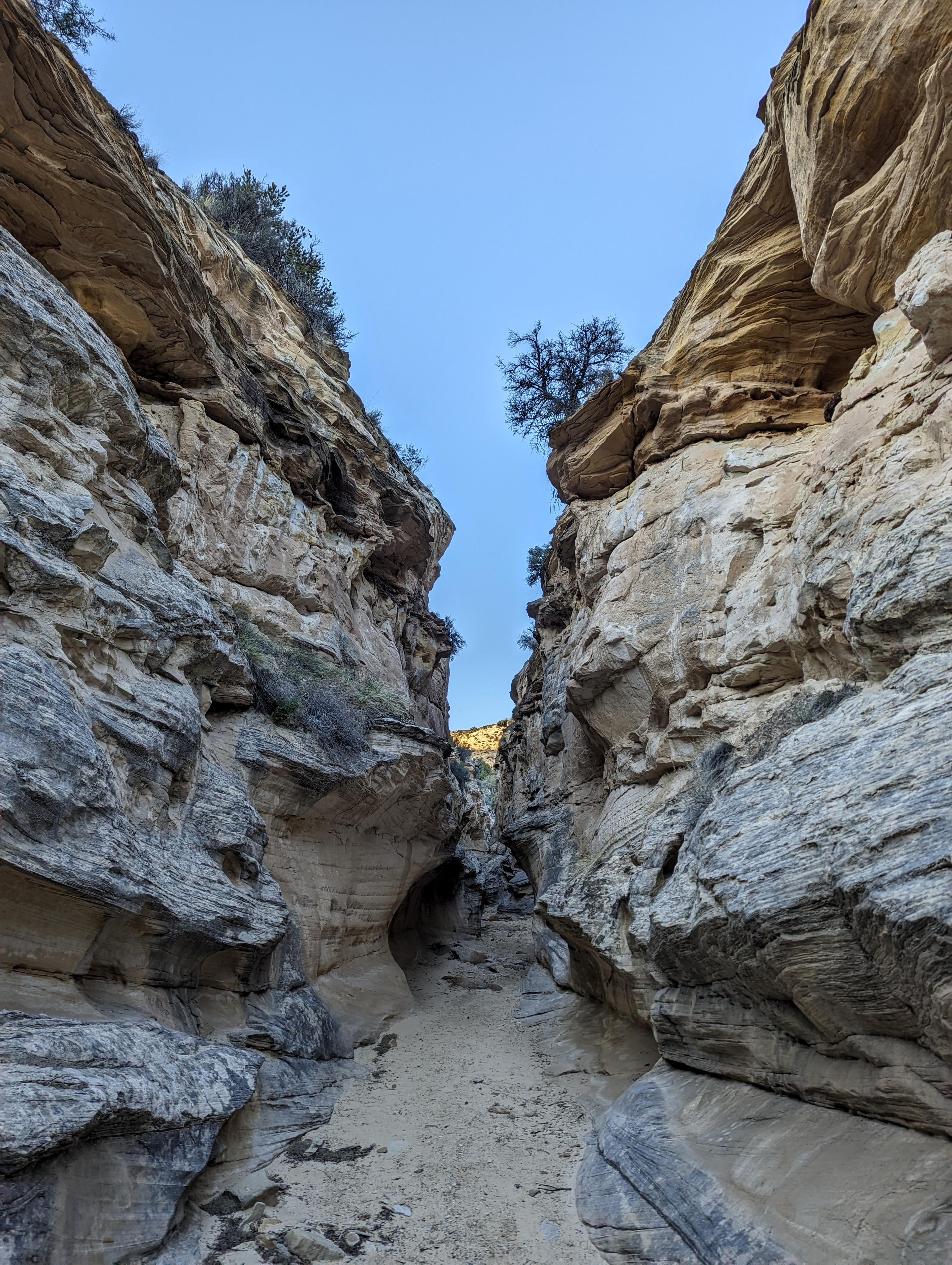
The lovely SC2
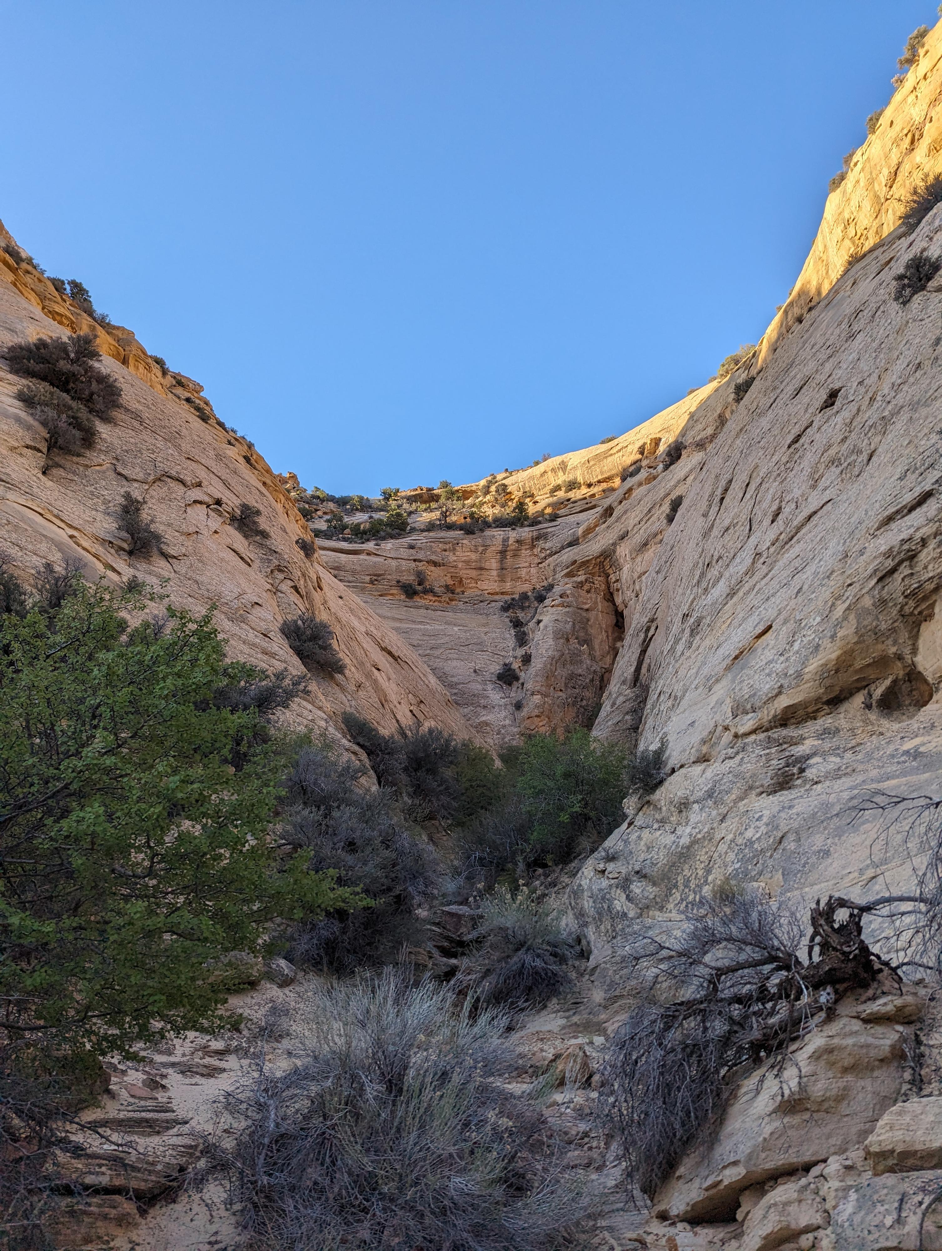
The wider SC3
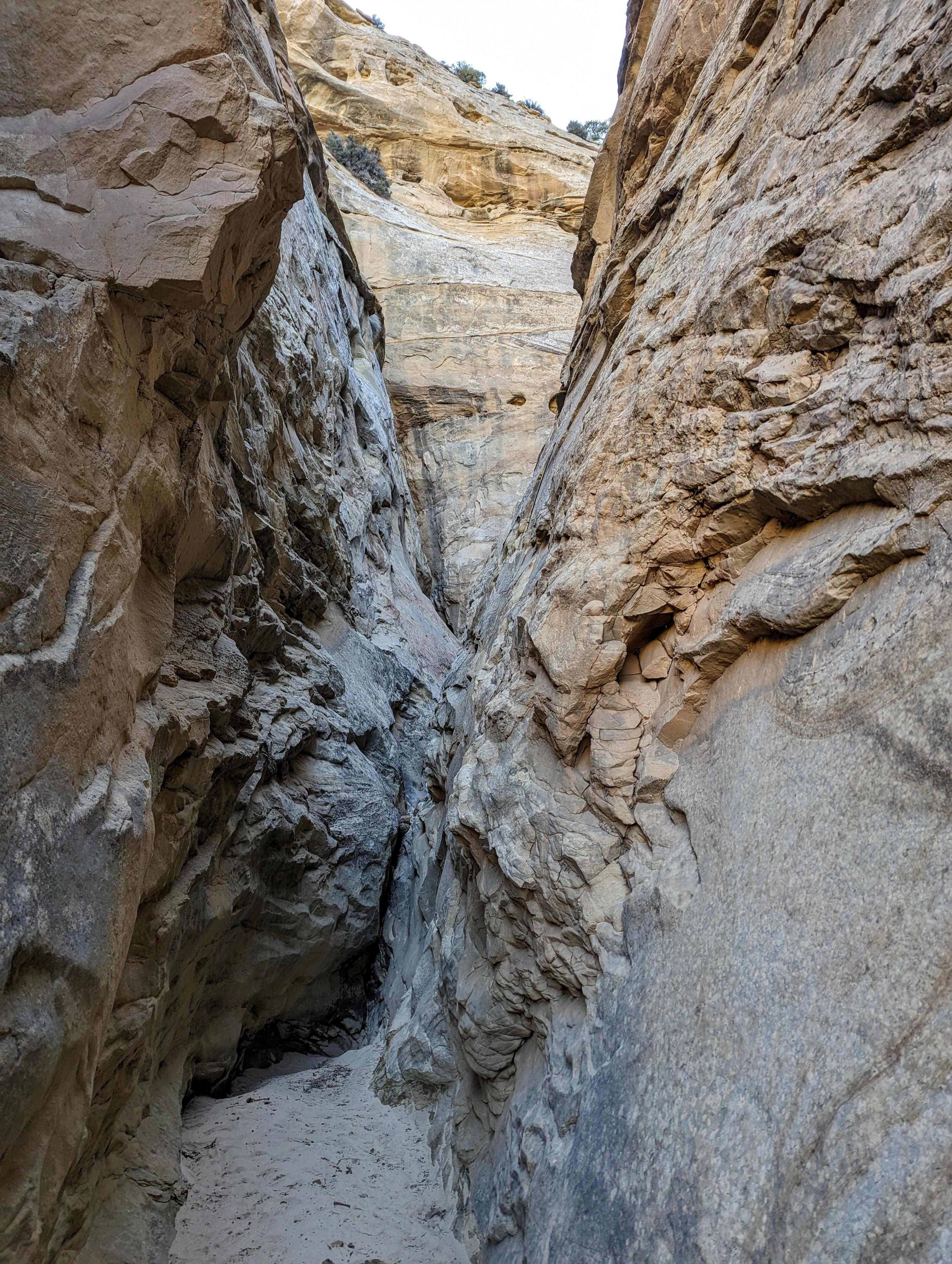
A short narrow section in SC4
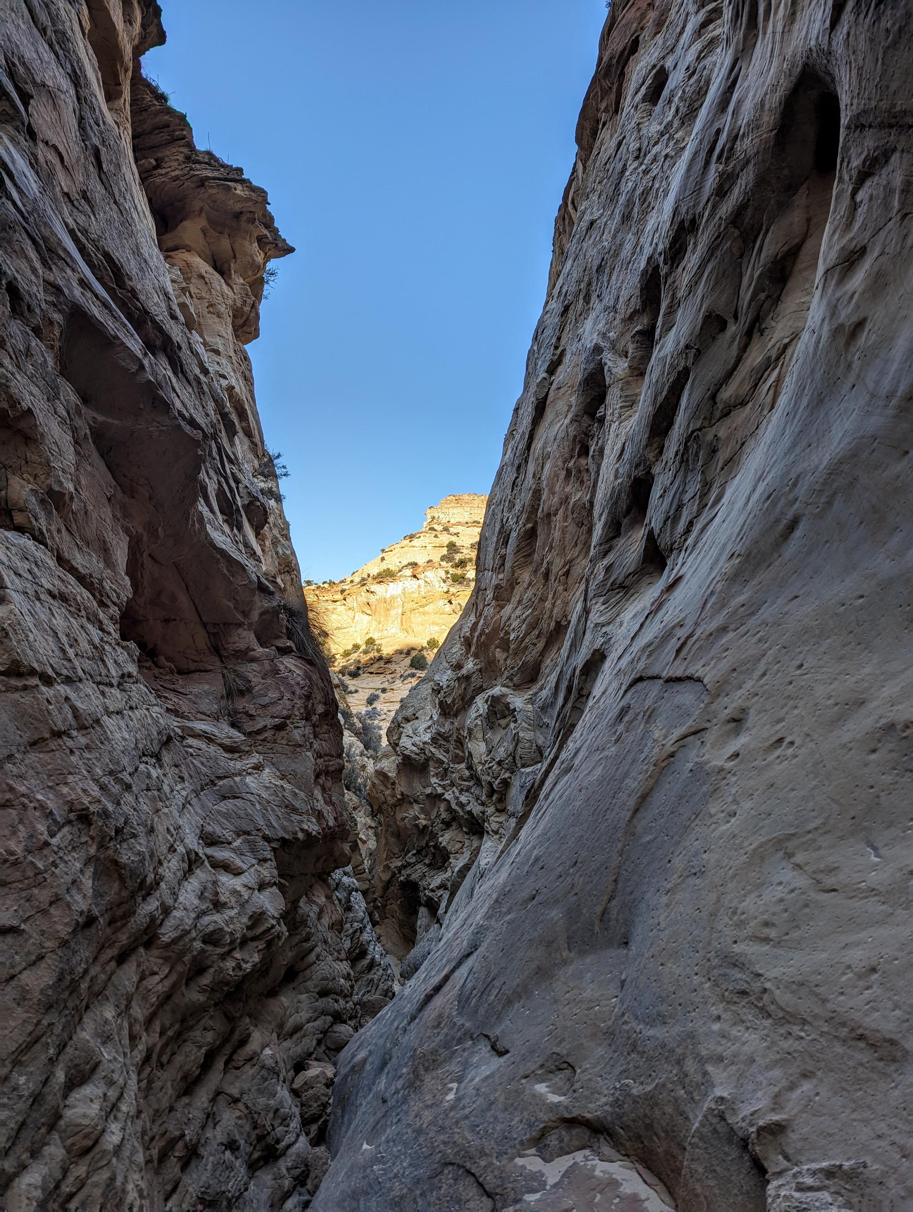
Looking down the short narrows of SC4
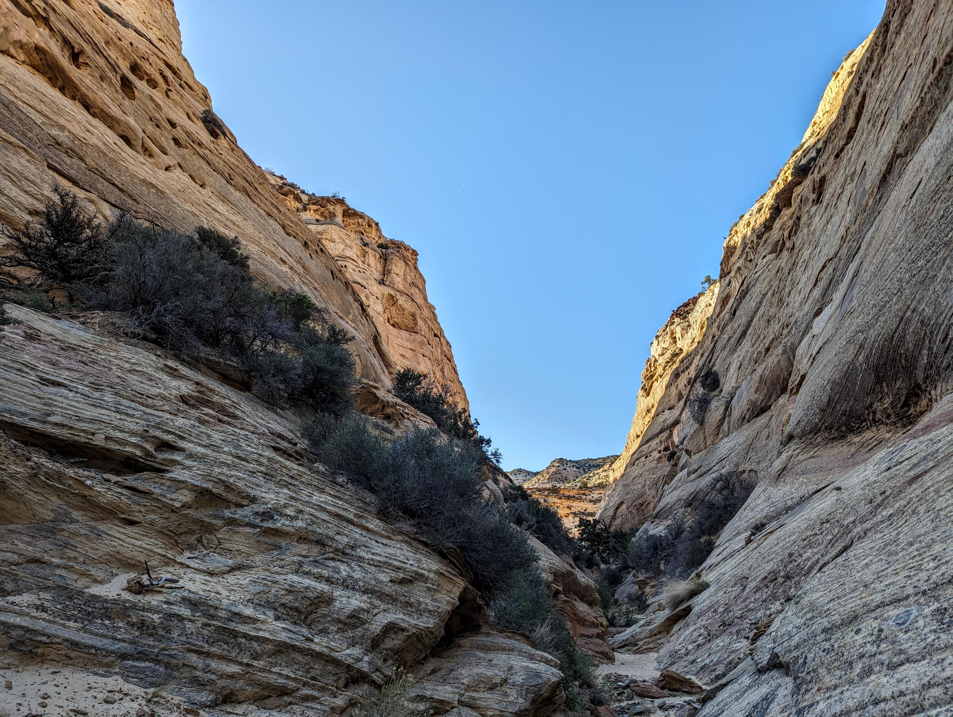
The wide SC5
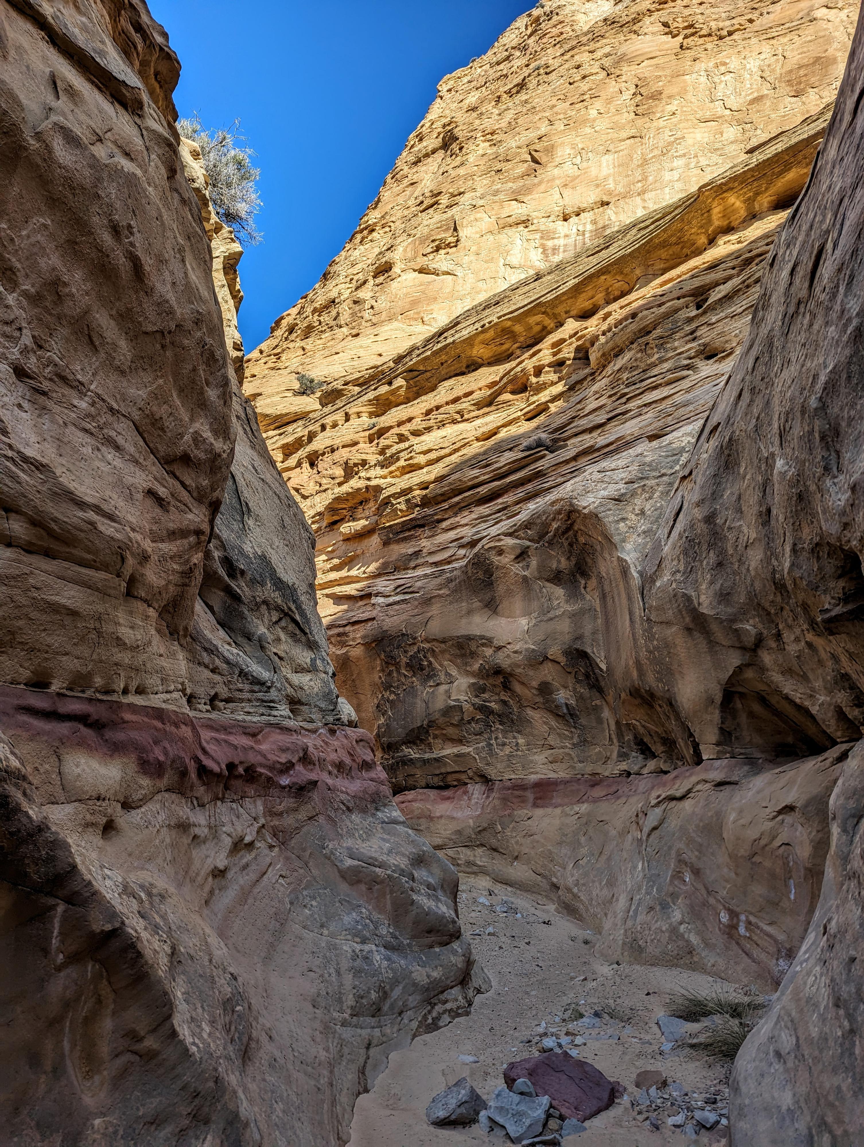
SC6 and the really interesting red stripe
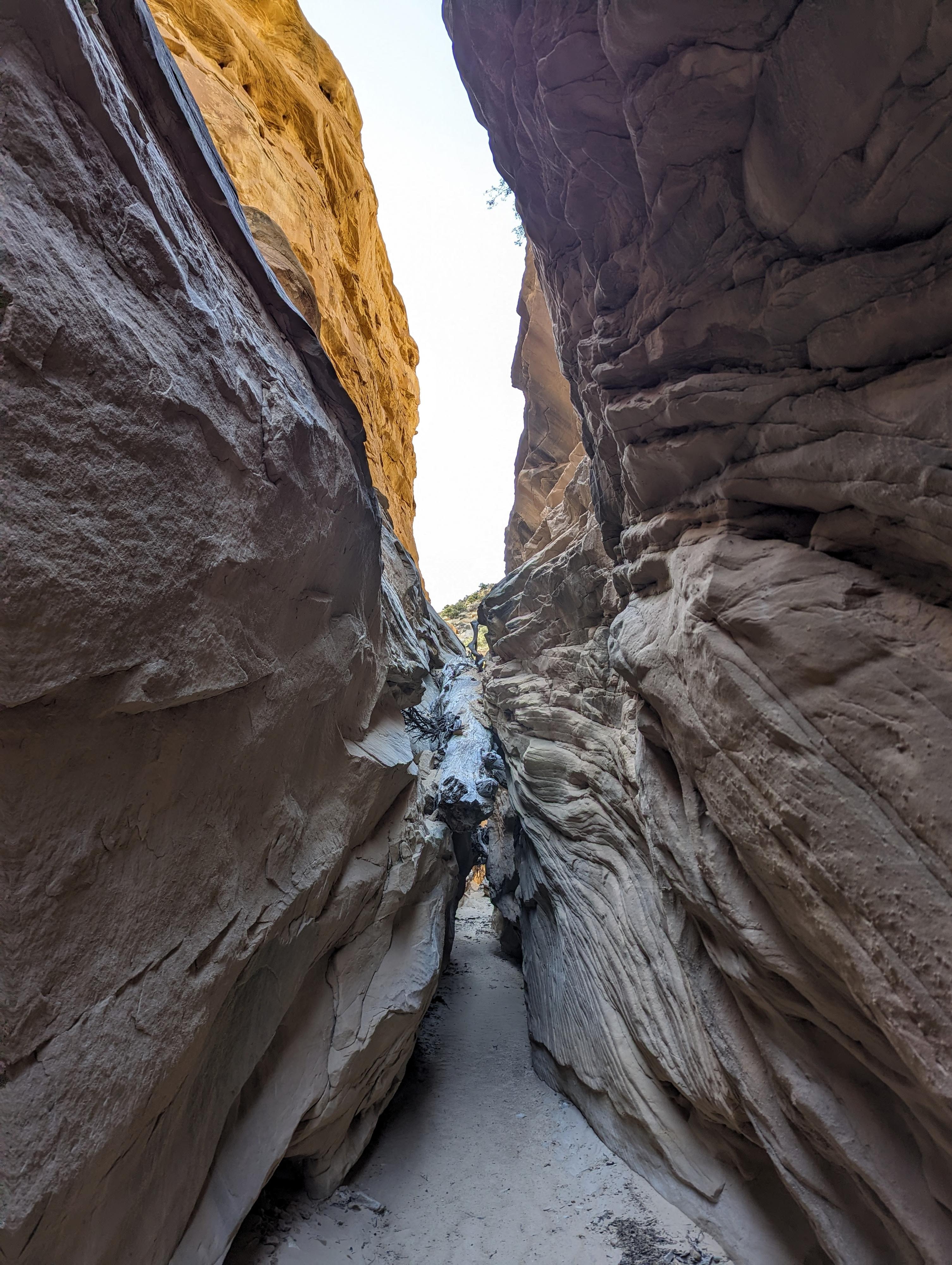
SC6 a very pretty side canyon.
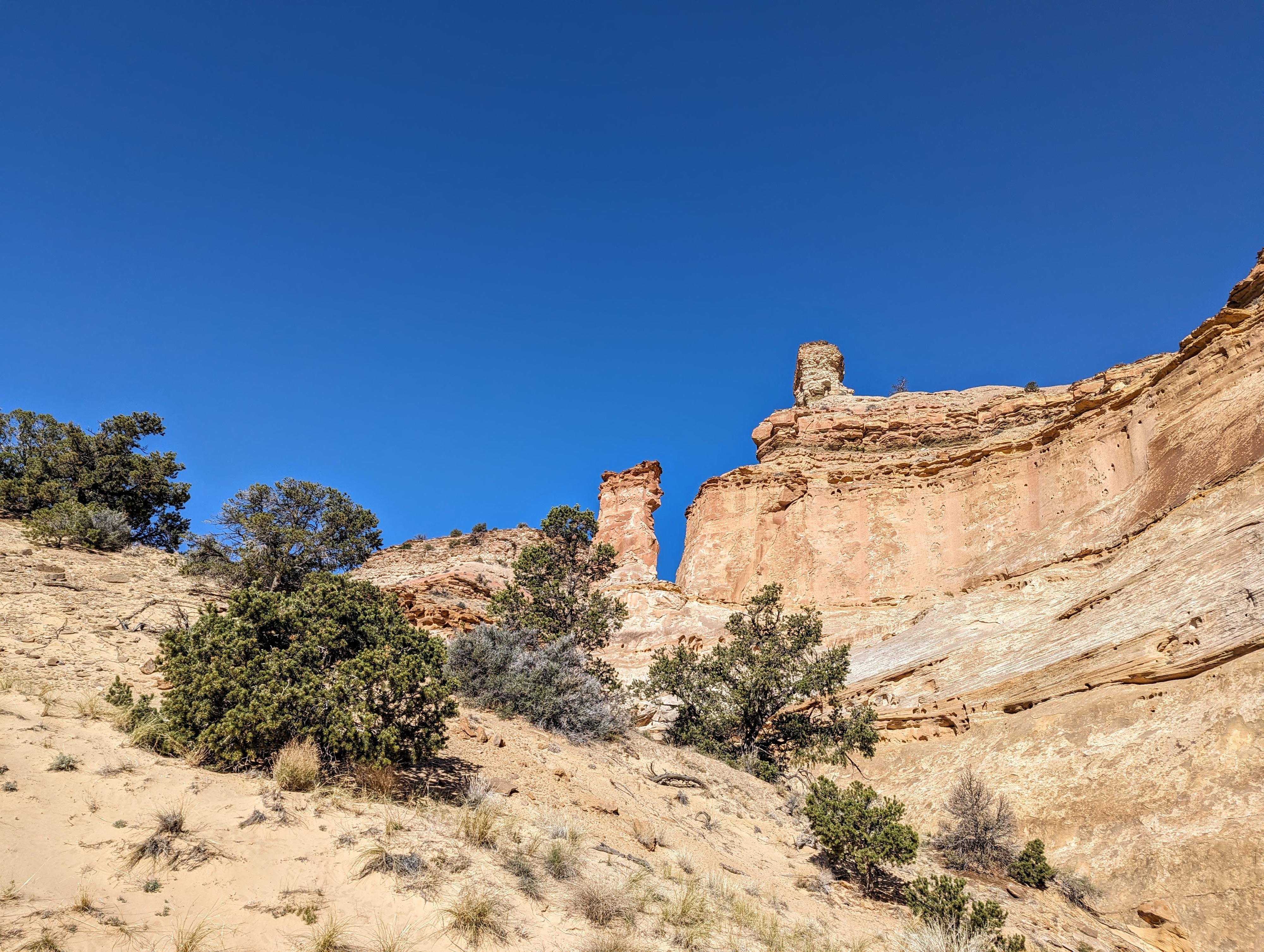
Towers in Devil's Canyon
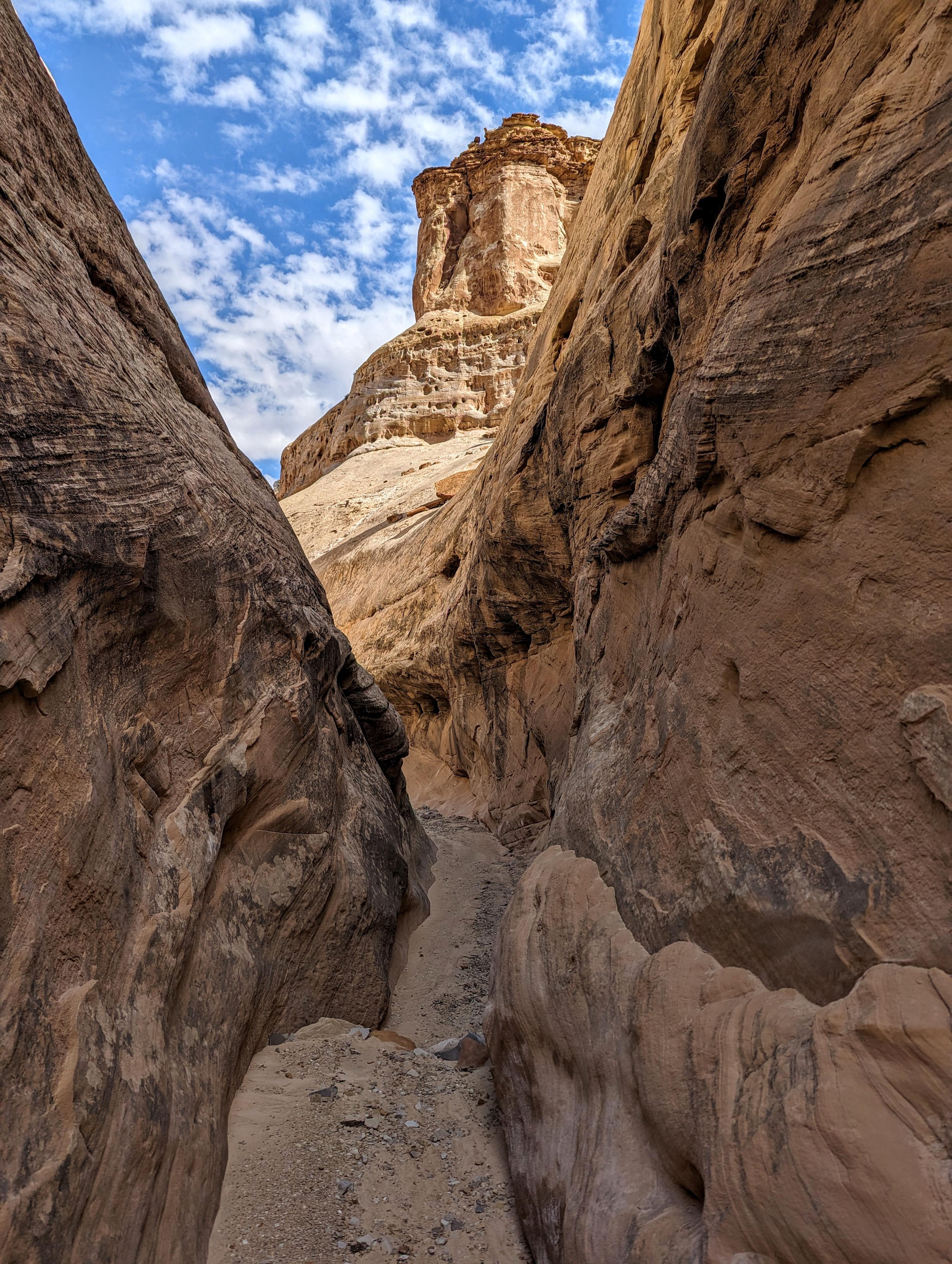
SC7 in nice light
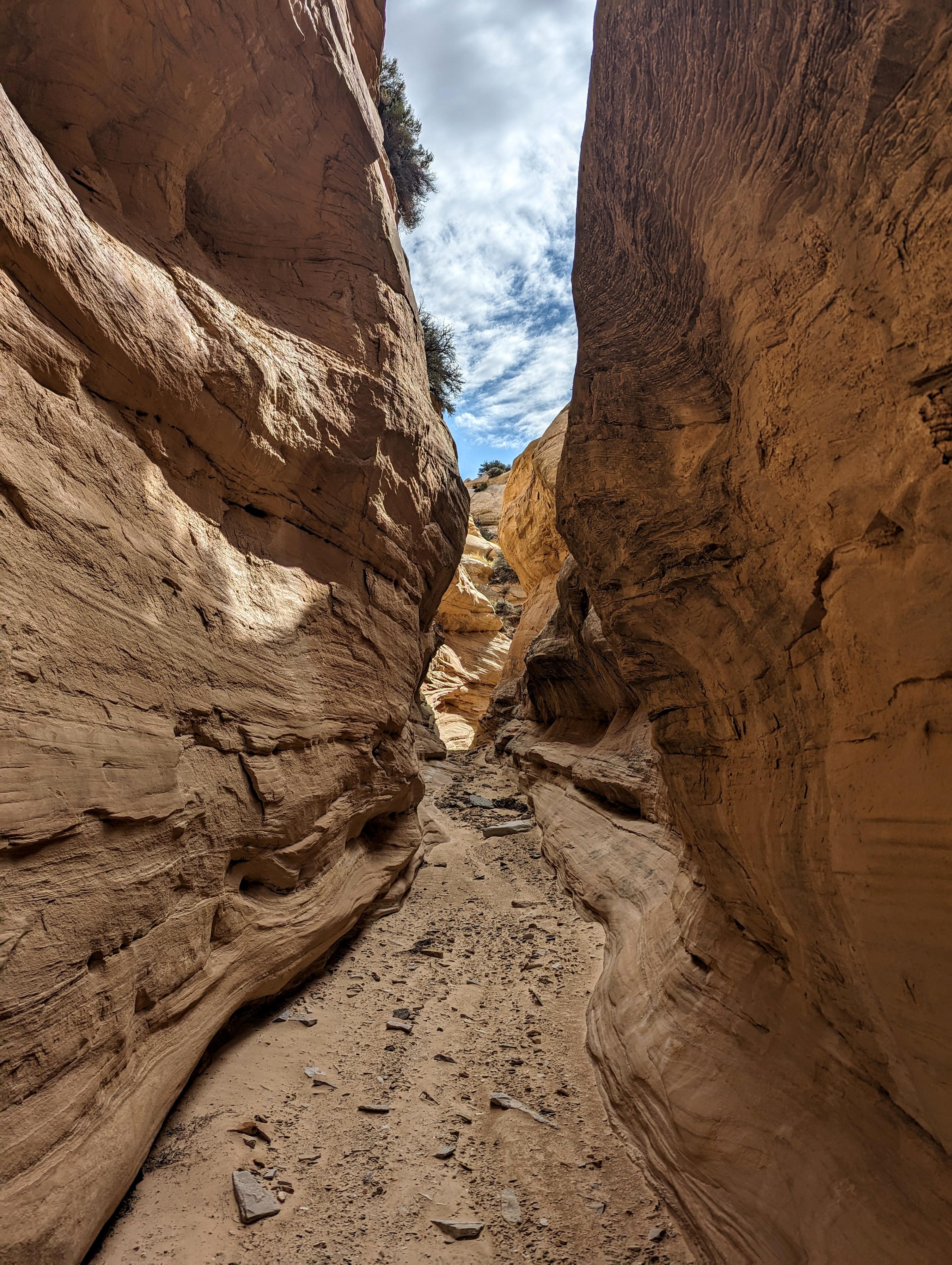
SC7 narrows
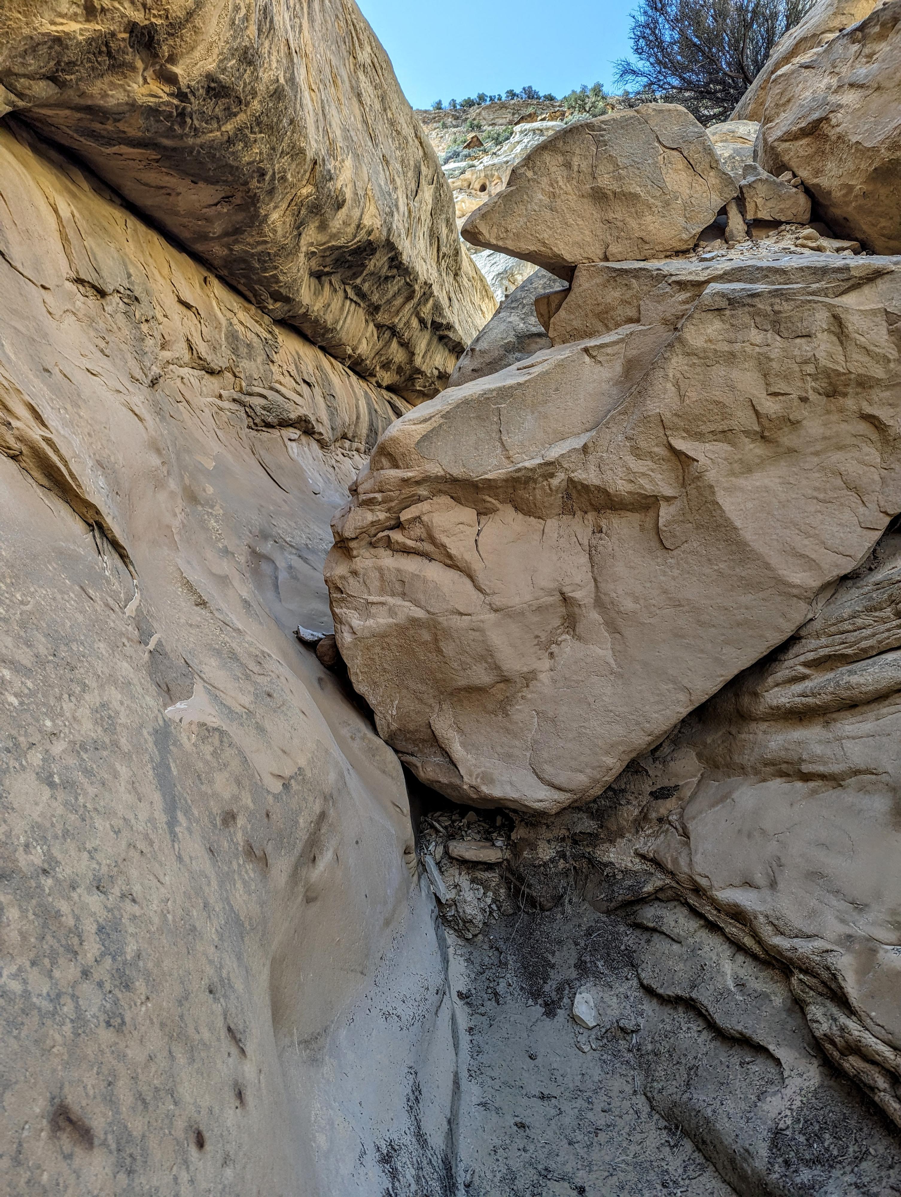
The obstacle in SC8
Photos
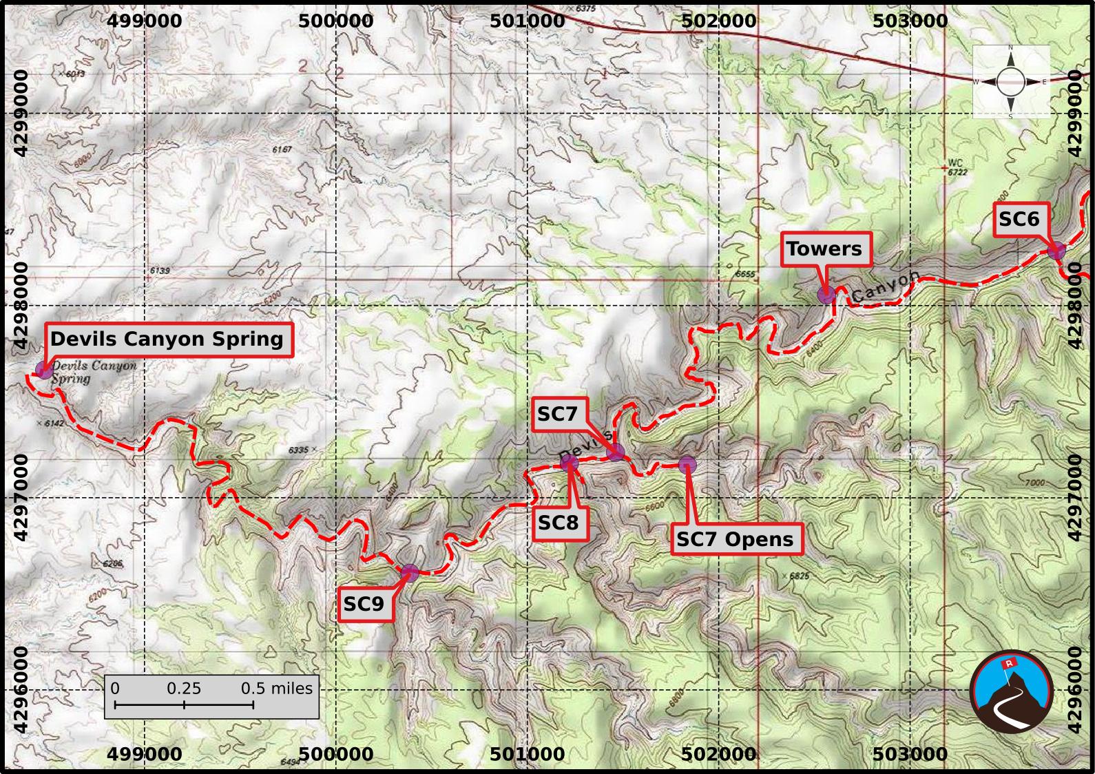
Maps
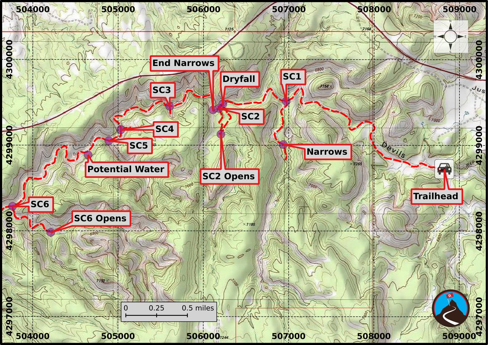
12S 508824E 4298721N
38°50'14"N 110°53'54"W
12S 506970E 4299511N
38°50'40"N 110°55'11"W
12S 506937E 4299006N
38°50'23"N 110°55'12"W
12S 506228E 4299479N
38°50'39"N 110°55'42"W
12S 506182E 4299427N
38°50'37"N 110°55'44"W
12S 506206E 4299125N
38°50'27"N 110°55'43"W
12S 506113E 4299409N
38°50'37"N 110°55'46"W
12S 505605E 4299452N
38°50'38"N 110°56'07"W
12S 505033E 4299177N
38°50'29"N 110°56'31"W
12S 504893E 4299049N
38°50'25"N 110°56'37"W
12S 504649E 4298885N
38°50'20"N 110°56'47"W
12S 502563E 4298054N
38°49'53"N 110°58'14"W
12S 503765E 4298284N
38°50'00"N 110°57'24"W
12S 504213E 4297979N
38°49'50"N 110°57'05"W
12S 501461E 4297233N
38°49'26"N 110°58'59"W
12S 501837E 4297167N
38°49'24"N 110°58'44"W
12S 501220E 4297177N
38°49'24"N 110°59'09"W
12S 498480E 4297662N
38°49'40"N 111°01'03"W
12S 500388E 4296604N
38°49'06"N 110°59'44"W