
 Singing Canyon
Burr Trail
Overview
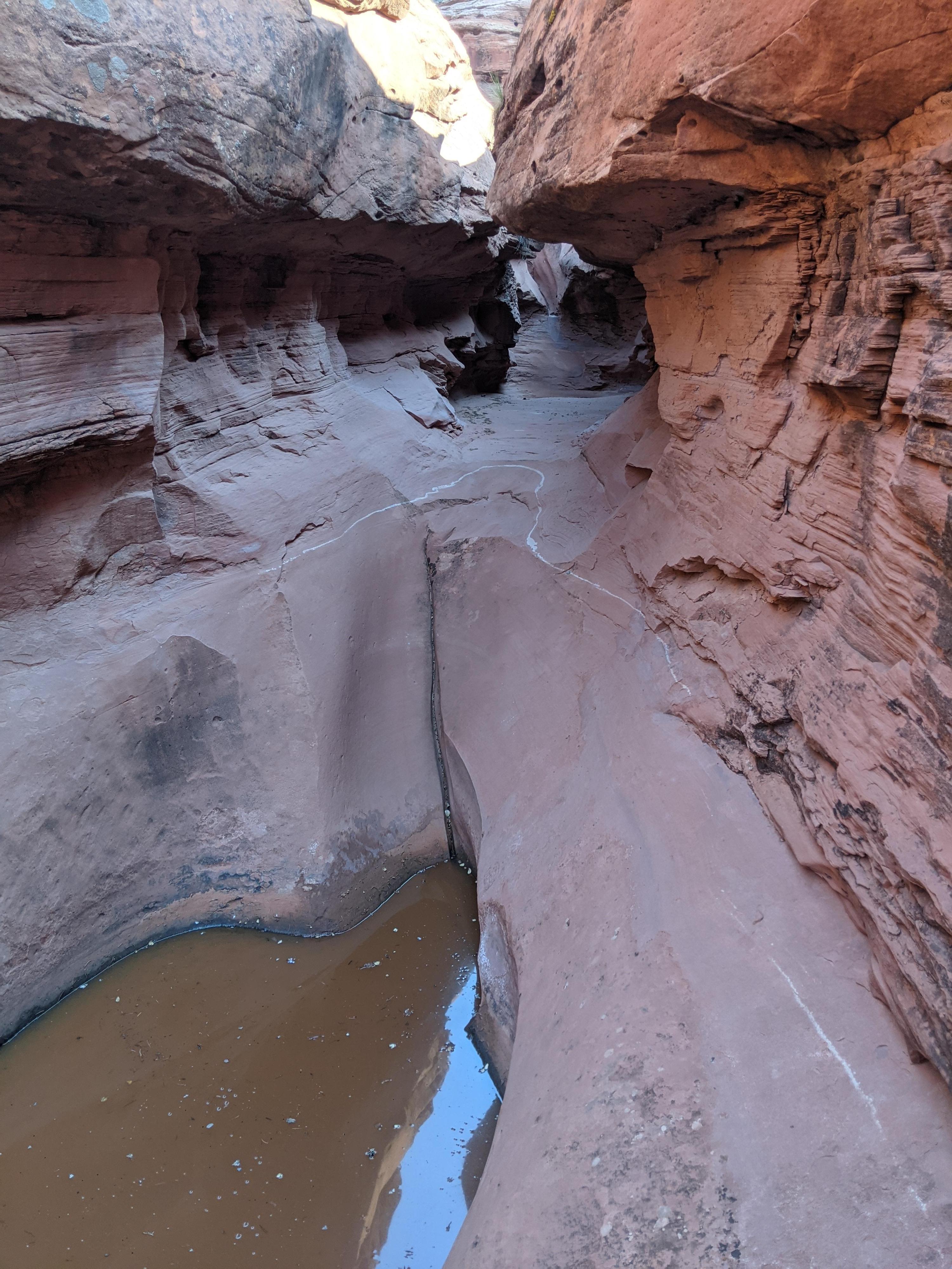
One of the popular stops on the Burr Trail, I view Singing Canyon as a must do if in the area. The canyon, a short side canyon of Long Canyon, is an easy side hike that visits an impressive dryfall and acoustic chamber. It is easy to see where it gets its name. The echo of sound is quite beautiful at the end of the canyon.
For hikers and those seeking a roadside attraction, the hike to the end of Signing Canyon takes just a few minutes. The sand floor trail is wide, well-trodden and suitable for pretty much all. Trees and boulders at the entrance make for a great picnic spot.
Technical canyoneers can visit the full Signing Canyon via a short technical loop. Though the canyon is known as Singing Canyon by most, some canyoneers call it Midget Rattler as well. The technical loop is intermediate, with a bit of route finding to reach the canyon but, more importantly, good natural anchor skills. The last rappel is about 30 m ( 99 ft. ) and requires either a dead man anchor or sandtrap. I visited after heavy recent rains and had some wading to about mid-thigh. Most of the time the canyon has either avoidable water or a few shallow wades.
Getting There
From Boulder Utah, take the Burr trail east. The road is paved and starts on the south side of town.
Route Description
Roadside Attraction
From the trailhead, Singing Canyon is the canyon north of the road. Follow the wide, well-worn sandy trail across Long Canyon and up Signing Canyon. It ends at an impressive dryfall not far from the road.
Technical Loop
Approach (90-120 minutes)
From the Singing Canyon trailhead, walk down the main Long Canyon Road for about 0.7 miles to a short side road on the north side. This is the upper Gulch Trailhead. From the end of the side road, follow the social trail and it descends the steep dirt slope, crosses through a fence, and heads up The Gulch. Stay on the most used social trail at the bottom of the drainage as you head up The Gulch.
In 0.4 miles Steep Creek Canyon joins from the left. Stay right. At 0.85 miles up The Gulch, another side canyon comes in on the left. This is an important landmark. Stay right, in The Gulch, but start looking for a drainage coming in on the right that joins in just a couple of minutes.
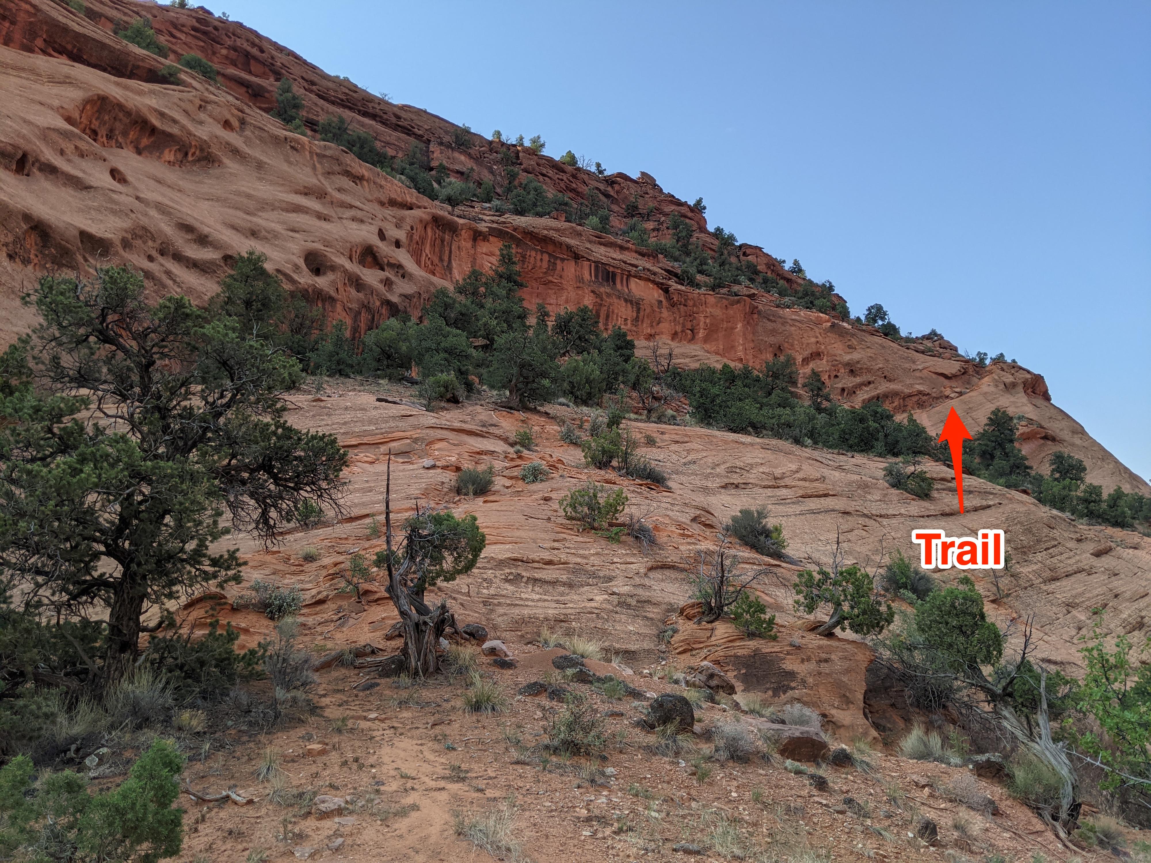
Go up the side drainage staying in the water course. When it forks before reaching a sandstone cliff, go right and begin working up and right to the ridge above the drainage. Once on the ridge, look south and you will see the remnants of an old cattle trail that has been cut into the sandstone that climbs out of The Gulch. Follow this old trail up. It is easy to follow as it climbs up through the sandstone. Once up through the sandstone layer, it cuts back northeast along the rim. This section is also easy to follow. As it reaches a wide side drainage coming in from the east, the trail gets less distinct and braids a bit.
From the shallow side drainage, continue following the trail as far as possible, then head east using good route finding to avoid tromping the cryptobiotic soil. It is about a quarter of a mile across open country to where Signing Canyon comes into view. Follow the rim of Singing Canyon upstream until it is easy to walk down into the canyon bottom.
Canyon
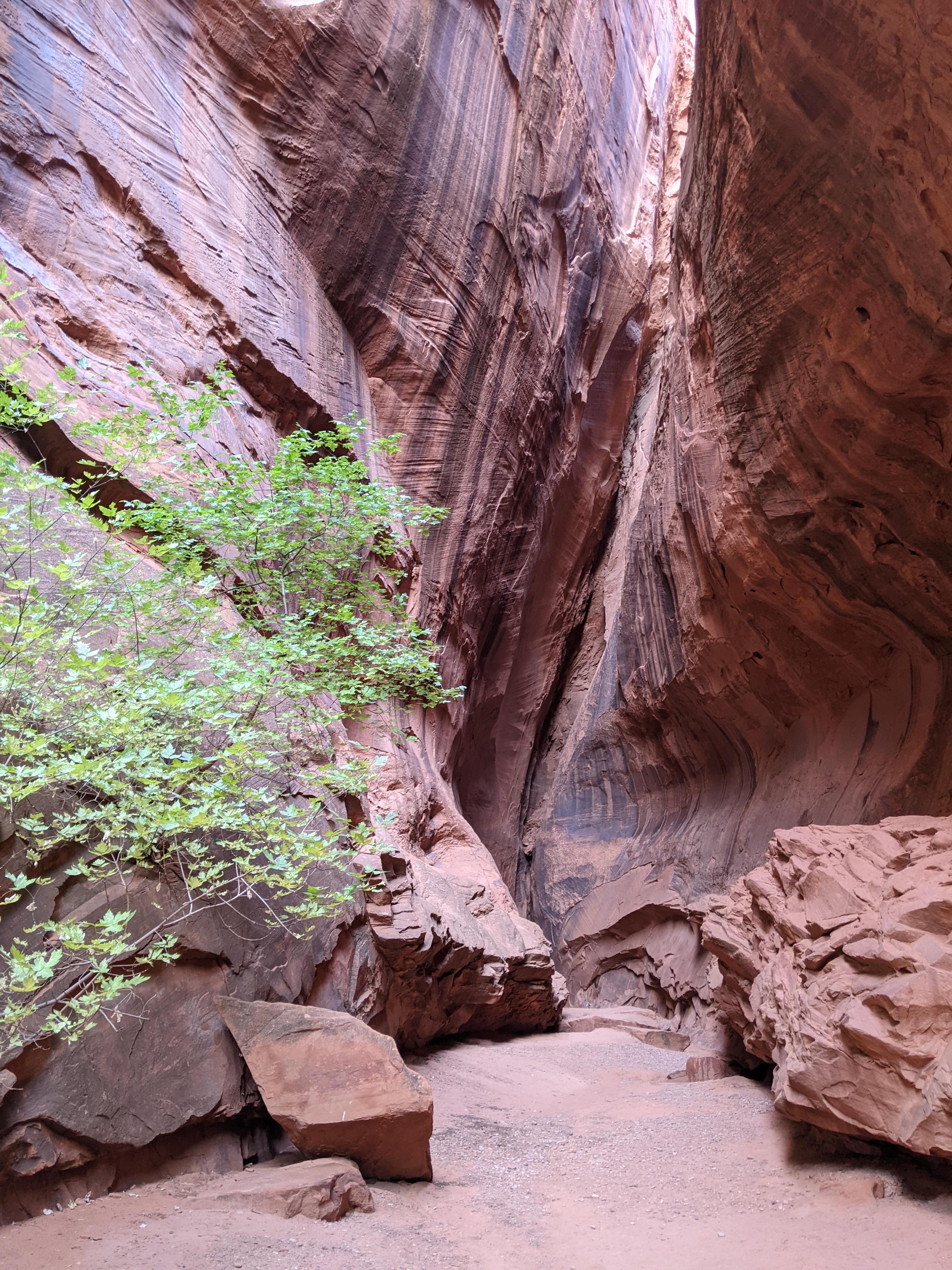
Head down canyon. You should soon reach a short drop where the sandstone changes layers. This featured drop could be rappelled but is easy enough to bypass on the left (looking down canyon). Continue down canyon. There are several small climbing obstacles, but all are straightforward (or could be bypassed if needed). The canyon is lovely and open here.
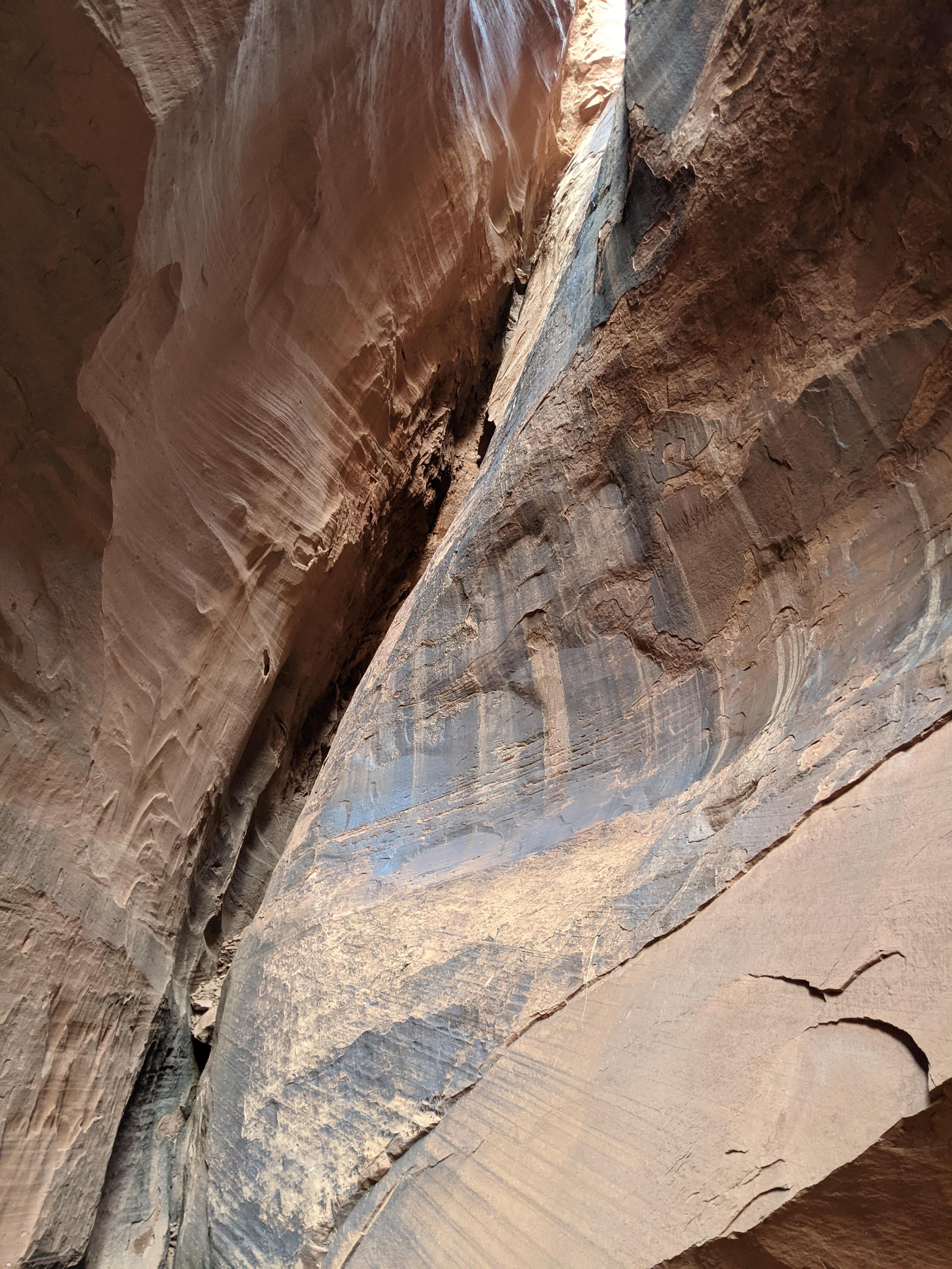
The canyon passes through a small slickock/subway section before narrowing and dropping. This is the start of the technical section. A large ledge on the right makes a great spot to take in the views and gear up.
After the first downclimb, the canyon narrows and deepens with a couple of more downclimbs before rappel 1.
R1 – 12 m ( 40 ft. ) – This rappel is followed quickly by rappel 2.
R2 – 15 m ( 50 ft. ) – Going under the chockstone is a tight squeeze. Many, like myself, will need to stem over, then down to get on rappel. Rappel 3 is just a few minutes down from rappel 2.
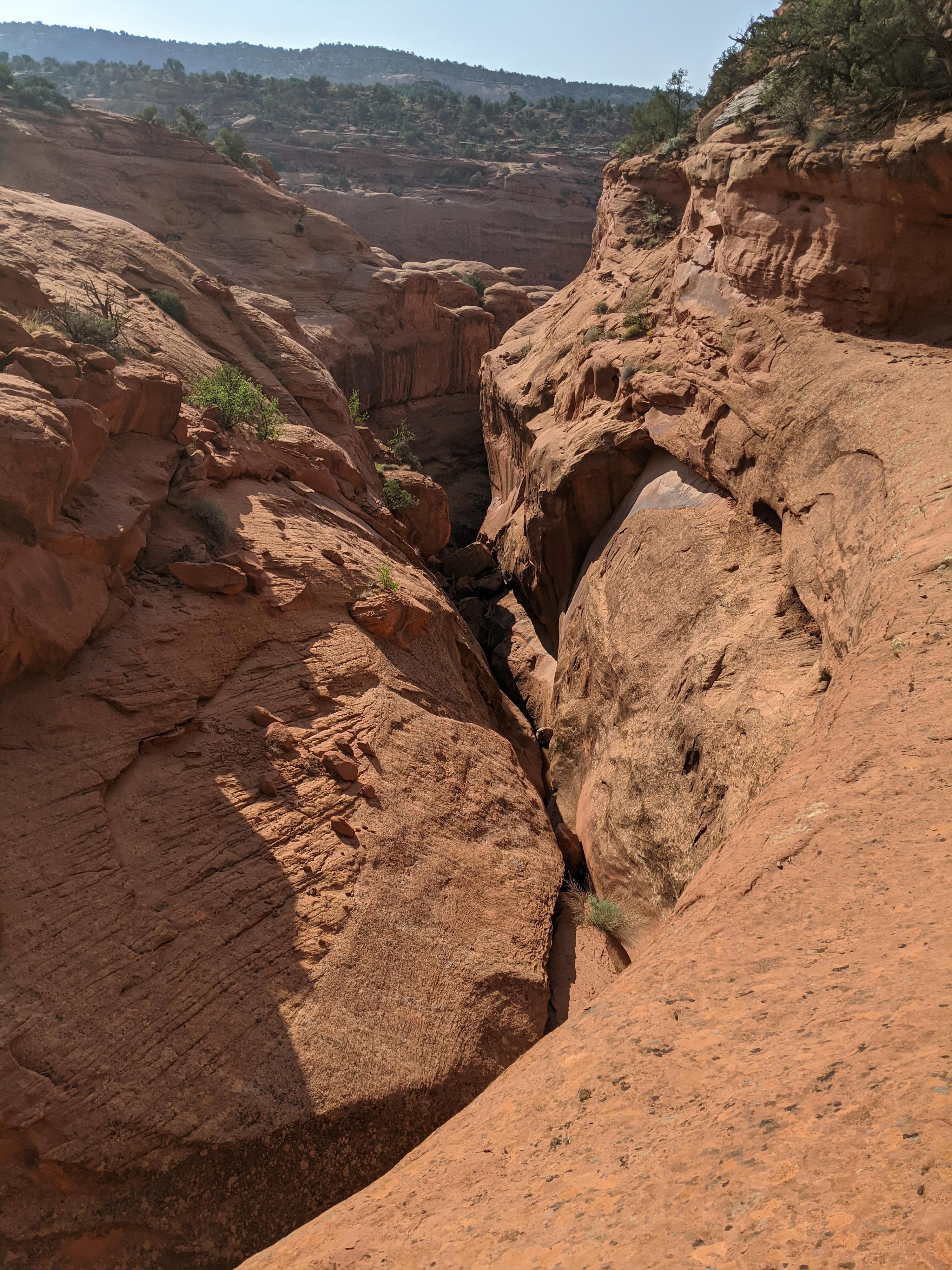
R3 – 30 m ( 99 ft. ) – The final rappel in the canyon. Be sure to inspect or build the anchor carefully. NOTE: DO NOT THROW YOUR ROPES DOWN THIS RAPPEL! There are often people visiting from below. Lower your rope to avoid hitting some unsuspecting visitor!
Once down the rappel it is just a few minutes down canyon to the trailhead.
Photos
Videos
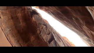
A Walk Through of Singing Canyon

Singing Canyon With Below Altitude
Maps

12S 473569E 4190866N
37°51'54"N 111°18'02"W
12S 472734E 4190049N
37°51'27"N 111°18'36"W
12S 472835E 4191522N
37°52'15"N 111°18'32"W
12S 472806E 4191319N
37°52'08"N 111°18'33"W
12S 473435E 4191466N
37°52'13"N 111°18'07"W
12S 473402E 4191093N
37°52'01"N 111°18'09"W