
 Viewfinder Towers
Hanksville
Overview
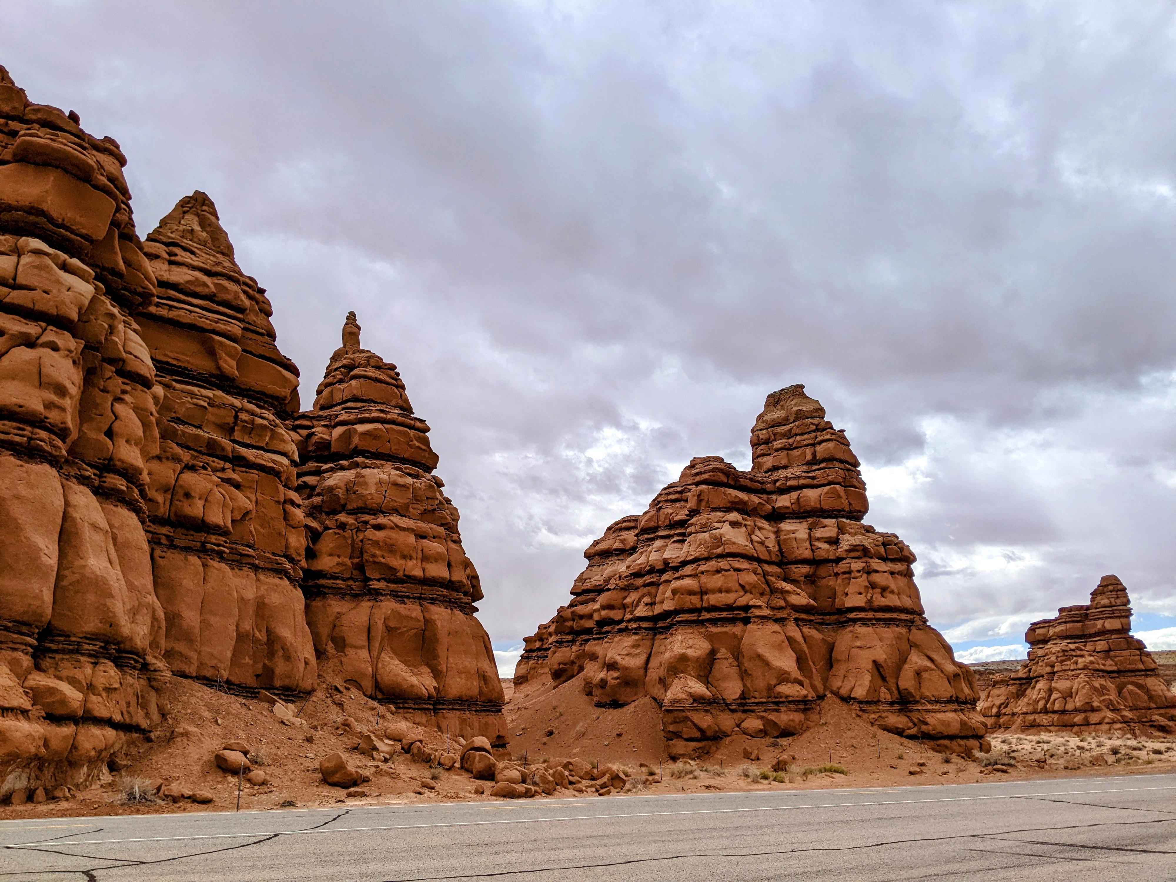
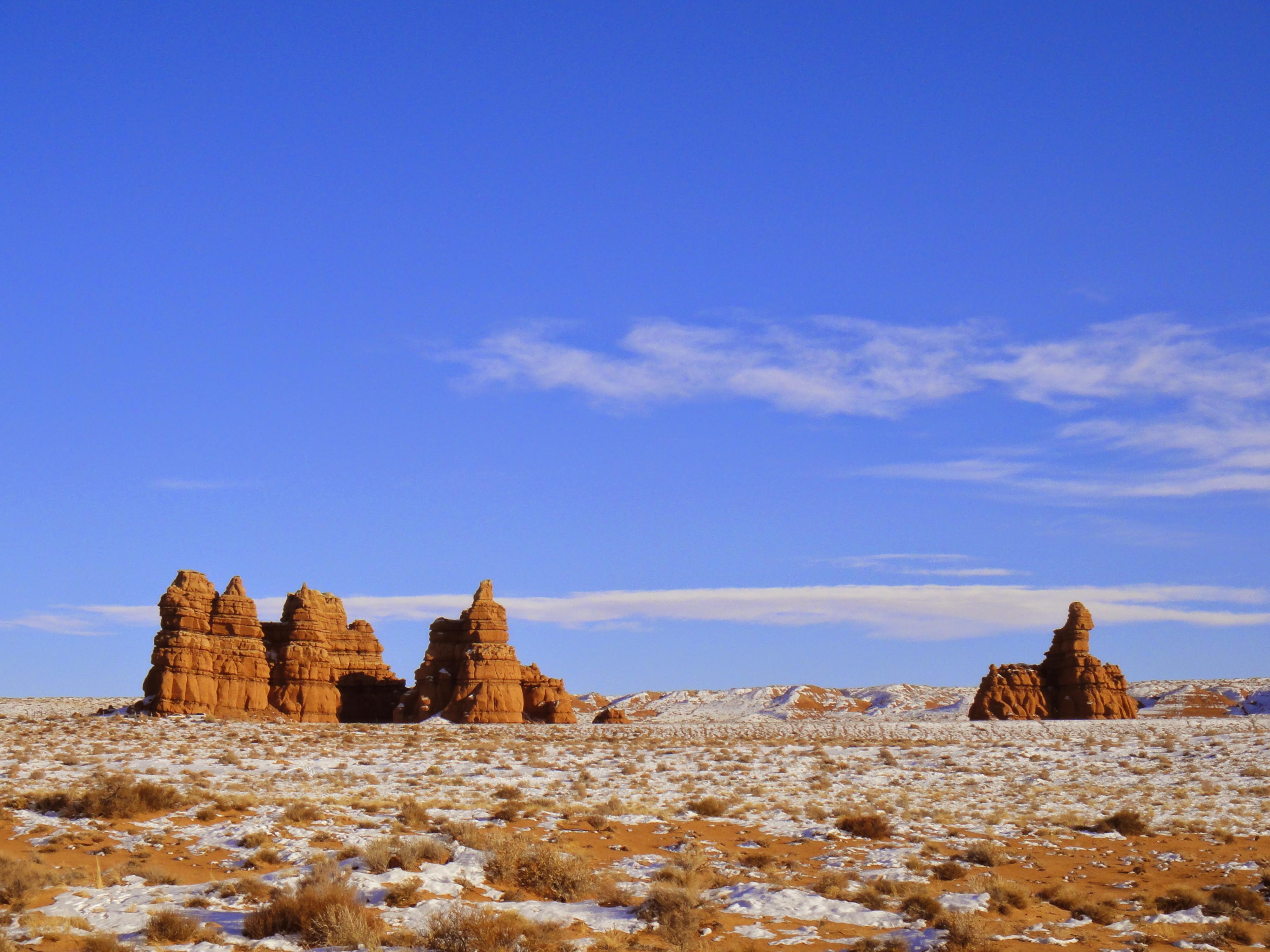
Viewfinder Towers is the roadside attraction spot I have stopped most at in the Swell. The spot is named for the roadside pullout with sight tubes (viewfinders) setup to point out many of the landmarks surrounding Hanksville. It is a great spot to stop and get oriented with some of the major mountains and features of the area. Many stop, view the landmarks, and take a quick glance at the entrada sandstone towers in the valley surrounding the stop, and move on.
That was likely my introduction to Viewfinder Towers so many years ago. The valley, however, is a lovely place to wander and take in the towers up close. Hikers are likely to enjoy viewing the towers and wandering through the valley. For climbers, most of the towers have routes to their summits. These range from a couple of relatively easy (5.8-ish) sport routes to C1 bolt ladders to very hard aid and free routes. Having done a handful of towers there, I have had both smiles and joy on some of them, and in one particular case, some of the scariest aid climbing on rock so poor I wasn’t sure it would hold a coat hung on it, let alone me!
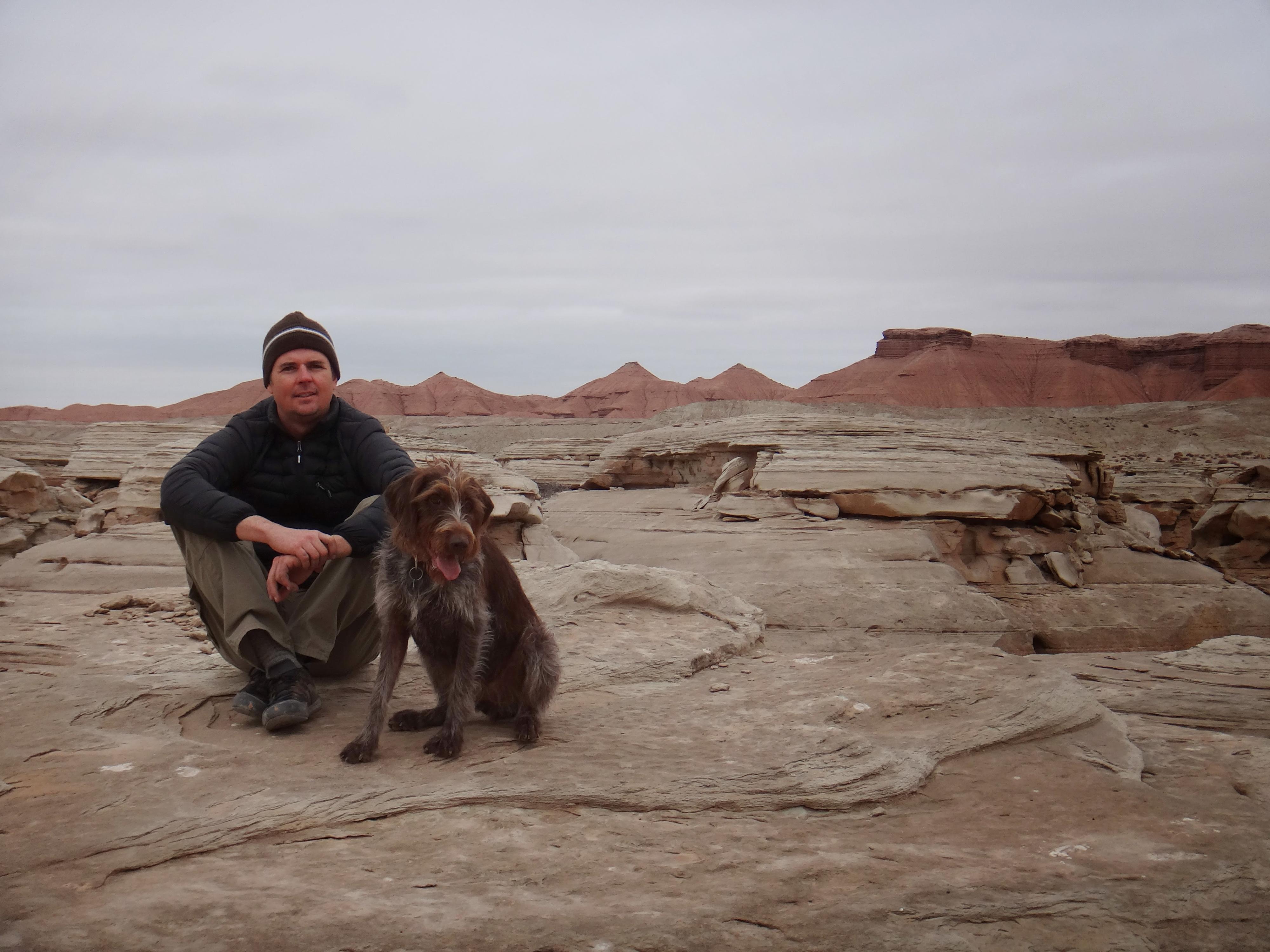
There are towers and both sides of the highway here, including a couple of particularly Looney Tunes-ish formations to wander around. My favorite wander, shown on the map, is to go west down the wide valley, north up the first major wide wash intersected, then finally back along a two-track dirt road. This visits a lot of towers and is a lovely leg-stretching hike.
Getting There
The trailhead is at mile post 123.1 on UT-24. From Hanksville, this is about 7 miles north toward I-70, or about 38 miles south of I-70 if coming from the north.
Route Description
From the pullout, head southwest, aiming for the wide wash left (south) of the cliffs. Follow the wash west past many towers. The cliffs and towers here are capped with a harder sandstone, which has protected the softer entrada below them. It is interesting terrain.
About 2 miles from the pullout, depending on your wandering, a junction is reached with a wash coming in from the north (right) that the wash you are in coalesces with.
Go right up the wash for just over a mile to a two-track dirt road. The canyon is narrower here, but still Entrada with many towers along the way. Once a dirt road is reached, and the terrain opens up.
Go right on the dirt road as it heads east back to the main road near the pull-out. This section of road is about 1.4 miles and passes a few more towers.
Photos
Maps

12S 528375E 4256996N
38°27'39"N 110°40'29"W
12S 527881E 4257073N
38°27'42"N 110°40'50"W
12S 525752E 4256546N
38°27'25"N 110°42'17"W
12S 526607E 4257841N
38°28'07"N 110°41'42"W