Crystal Peak |

Delta

Hiking Crystal Peak - DeltaRoadside Attraction Crystal Peak - Delta Crystal Peak

Delta

Overview

RATING: Roadside Attraction / Moderate Scramble
MAPS: Crystal Peak, UT

Wed

Sunny, with a high near 59. West northwest wind around 8 mph.

59 | 36

Thu

Mostly sunny, with a high near 59.

59 | 38

Fri

Mostly sunny, with a high near 58.

58 | 38

Sat

A chance of rain after noon. Mostly sunny, with a high near 55.

55 | 40

Sun

A chance of snow. Mostly cloudy, with a high near 42. New snow accumulation of less than one inch possible.

42 | 32

View Full Weather Details
SEASON: Any
WATER: None
NOTES: There is good primitive camping on a small side road just north of Crystal Peak on the east side.

Wed

Sunny, with a high near 59. West northwest wind around 8 mph.

59 | 36

Thu

Mostly sunny, with a high near 59.

59 | 38

Fri

Mostly sunny, with a high near 58.

58 | 38

Sat

A chance of rain after noon. Mostly sunny, with a high near 55.

55 | 40

Sun

A chance of snow. Mostly cloudy, with a high near 42. New snow accumulation of less than one inch possible.

42 | 32

View Full Weather Details
Crystal Peak under stunning skies

Crystal Peak under stunning skies

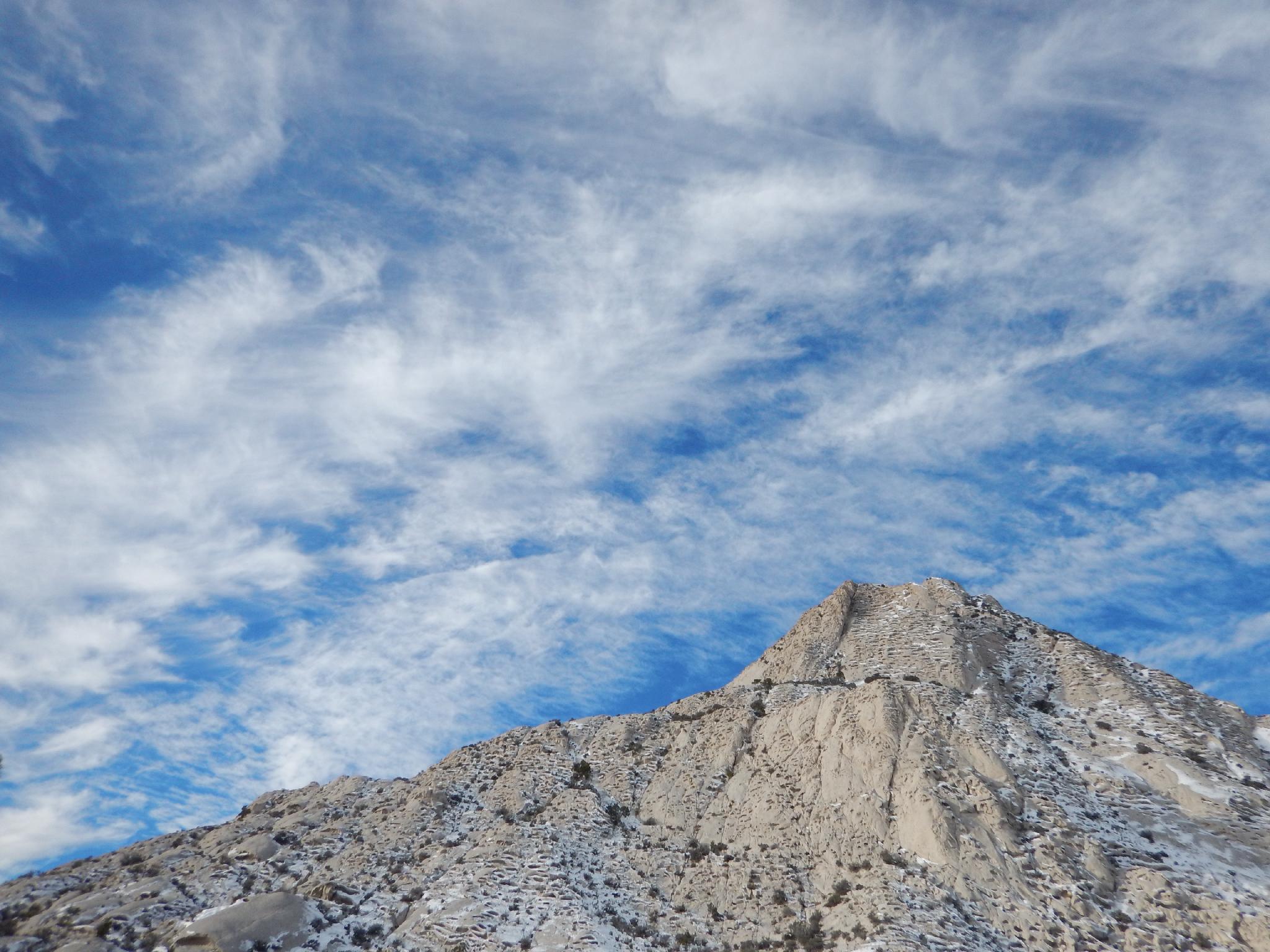
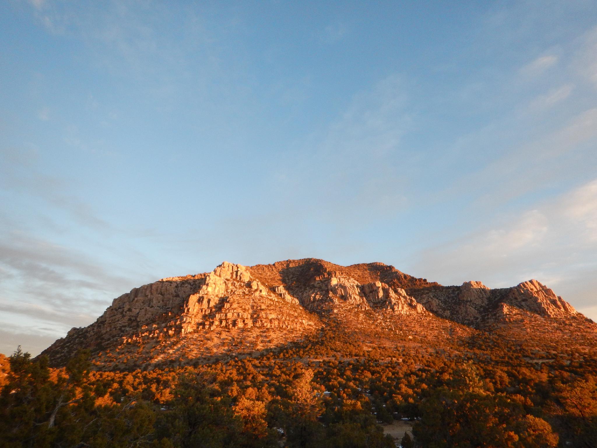
Crystal Peak sticks out in striking contrast to the more muted browns and greys that make up the west desert landscape. When approaching, its bright white veneer is visible from miles and miles across the expansive west desert. The peak itself makes a great roadside attraction with good primitive camping nearby. For the adventurous, an easy 5th class scramble attains the lofty summit and makes for a casual 2-3 hour outing.

The peak is composed of volcanic tuft that has eroded over the years creating pockets, arches, and very interesting lines along all of its sides. As of this writing (2015), the peak is 33 million years old! Though interesting at any time of day, sunrise is particularly photogenic.

Side Trip: Directly north of Crystal Peak is a side road and camping area. Hiking north from the camping area north 1/4 mile or so enters a zone of fossils. Though hard to find, fossilized sea shells, snails, and other small invertebrates can be found. GPS location purposefully not given, a big part of the fun is wandering around seeing what you can find!
West face of Crystal Peak

West face of Crystal Peak

Getting There

Go south out of Delta UT on UT-257S. After about 50 miles, the community of Black Rock is reached. Community is an overstatement, it is just a few houses.

  • Trailhead ( 12S 274849mE 4297394mN / N38° 47' 48" W113° 35' 33" )
  • Turn onto Black Rock Road ( 12S 328830mE 4287193mN / N38° 43' 01" W112° 58' 08" )
  • 9.5 miles, stay left ( 12S 323586mE 4286752mN / N38° 42' 43" W113° 01' 44" )
  • 11.4 miles, stay left. Right goes to a mining company. Crystal Peak starts being visible in the west not far after this junction. Stay on the main road from here as it heads due west to Crystal Peak at 36 miles. ( 12S 308842mE 4285691mN / N38° 41' 57" W113° 11' 53" )
Confusion Range north of Crystal Peak at dawn

Confusion Range north of Crystal Peak at dawn

Route

The Scramble:
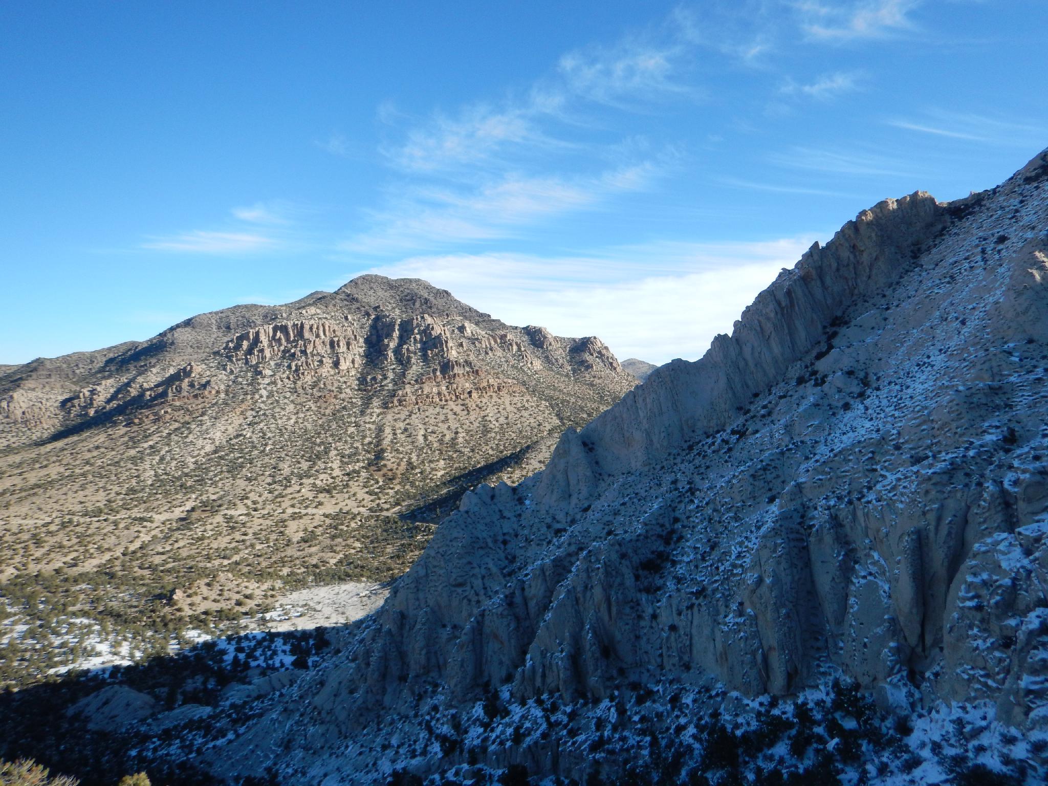
To reach the summit requires easy, but exposed lower 5th class climbing. From the northern side, traverse along its base south, then southwest until a saddle is reached.

The easiest route follows a sparsely cairned line that trends up and to the left, then back right up a gully. Once up the gully, an easy scramble leads to the top. This route was our descent route.

For the experienced climber, a tantalizing line of solution pockets lead up just downhill from the saddle. This line of solution pockets was our ascent route and joined the normal route for the final scrambling section. Be very careful, though the climbing is easy 5th class, the rock is crumbly and requires care to climb safely.

From the summit, the Wah Wah Mountains are visible just to the south. Mount Moriah is visible to the northwest, and to the east in the far distance, is Frisco Peak and the San Francisco Mountains.


Videos

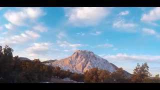
Crystal Peak at Sunrise ryancornia

Maps

Route / 1.94 miles / Elevation Range 6,281 - 6,949 ft.
Printable Maps:
Trailhead

12S 274849mE 4297393mN

N38° 47' 48" W113° 35' 33"

Saddle

12S 274122mE 4296618mN

N38° 47' 22" W113° 36' 02"

Higher Section

12S 274100mE 4296696mN

N38° 47' 24" W113° 36' 03"

5.4 Route

12S 274149mE 4296610mN

N38° 47' 22" W113° 36' 01"

Comments

Want to make a comment? Login and let yourself be heard.