
 Bloods and Lackawaxen Lakes
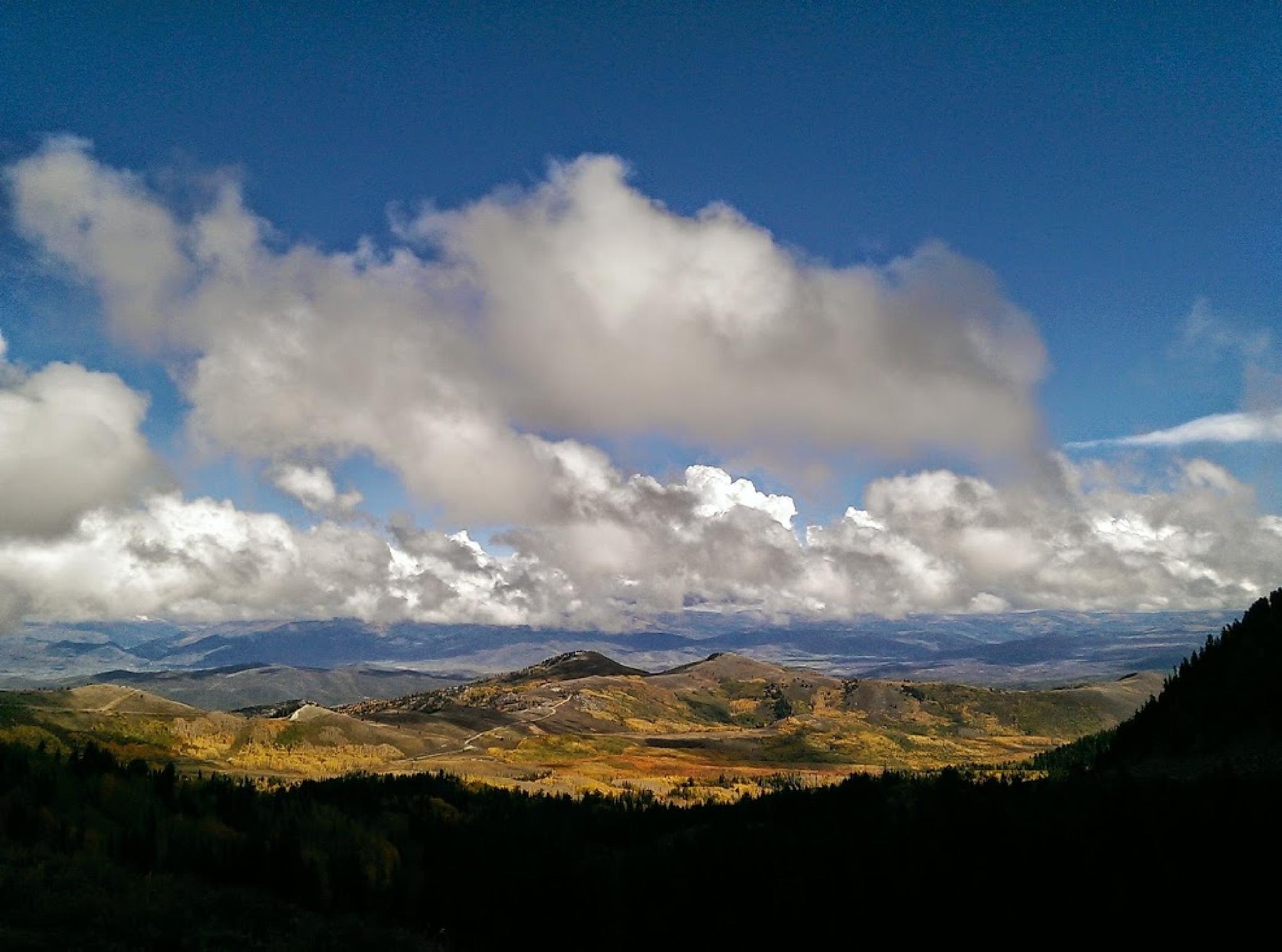
Wasatch Front
Overview
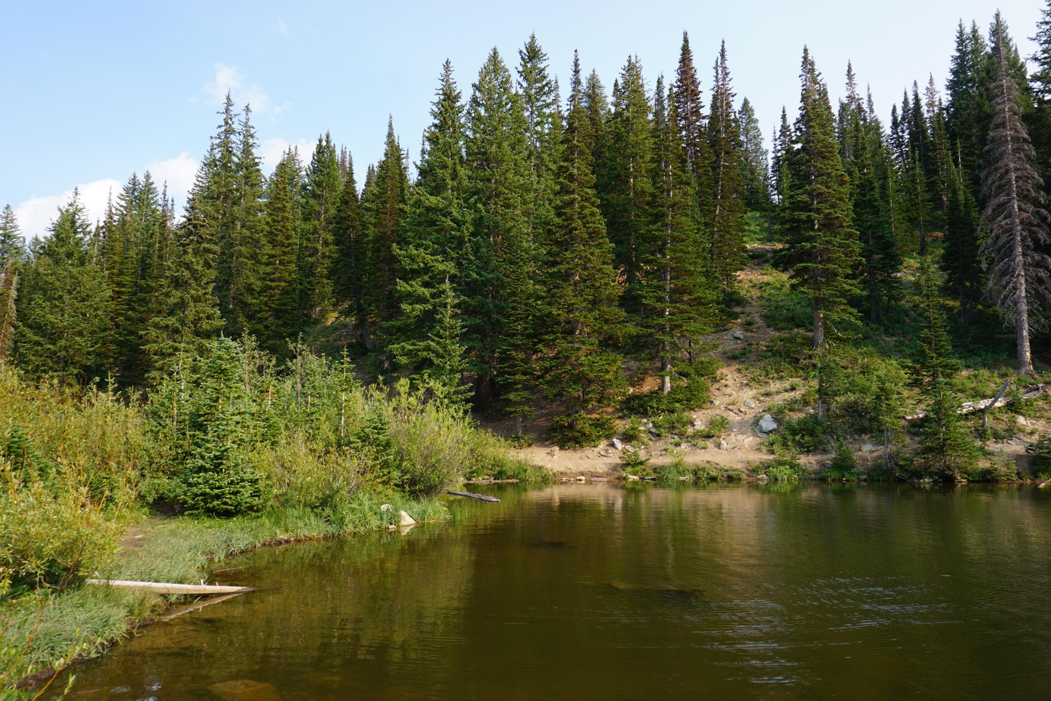
Bloods Lake is a very popular outing, particularly with dog owners. The area was once slated for development but saved as part of the Bonanza Flat Conservation Area. As of 2019, the hike is still open to dogs, but there is some discussion of closing it to dogs as part of watershed conservation. The walk to Bloods is an excellent outing, though I prefer to continue to Lackawaxen, a mile past Bloods Lake.
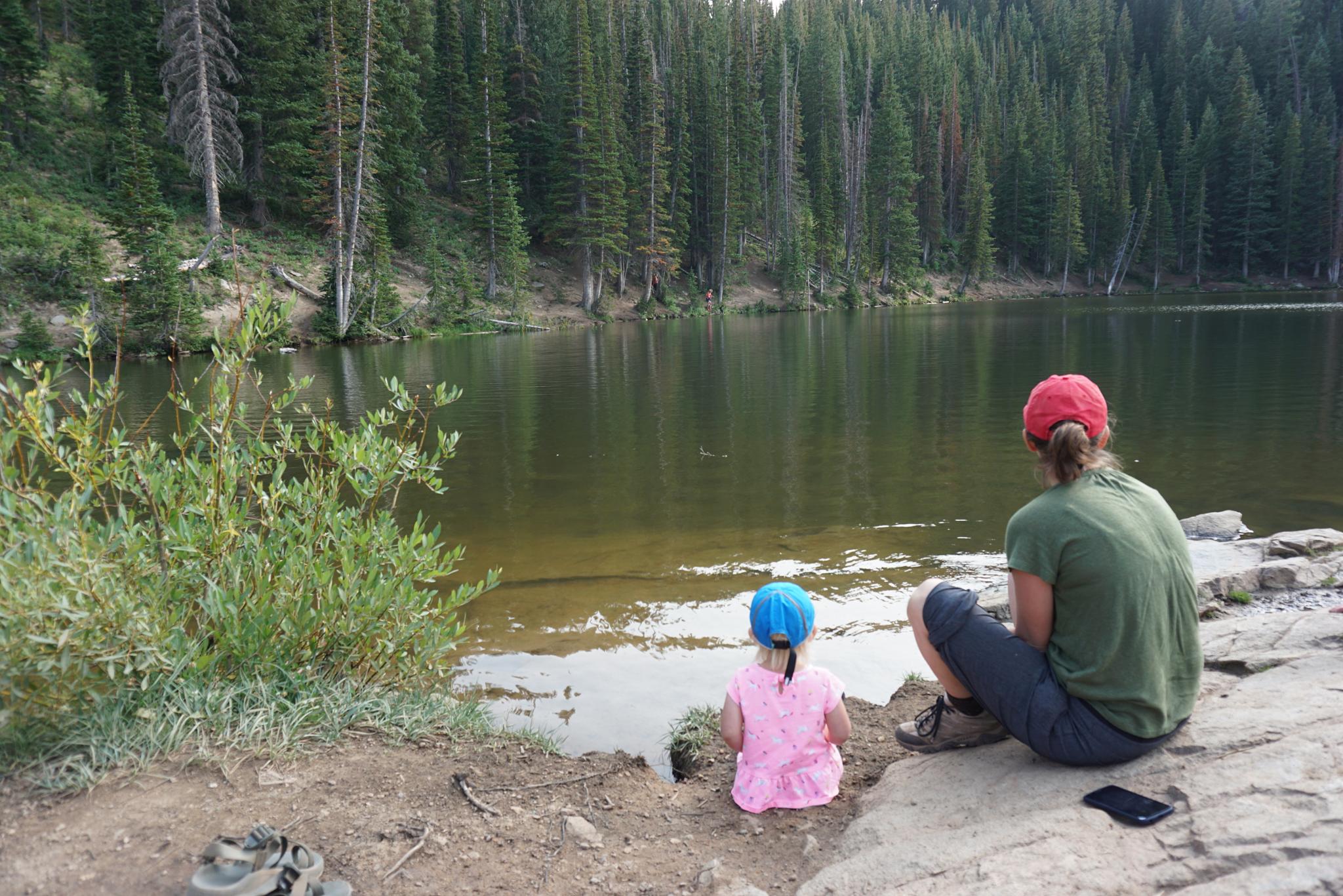
Lackawaxen Lake is the pretty lake, with an odd name. It, presumably, is named after the Lackawaxen River (or Township) in Pennsylvania. This Lackawaxen is very scenic, tucked up next to the ridge near Brighton. Being scenic, it is a very popular hike on weekends. The proximity to Salt Lake and short distance make this an ideal family-friendly hike or even short overnight backpack.
Those looking for dramatic autumn leaf viewing would be well advised to drive to the trailhead, even if skipping the hike. The small parking lot is generally packed in the autumn when the leaves are changing color.
Getting There
From Salt Lake City, go up Big Cottonwood canyon. (Signed Brighton Ski Area, exit 6 off of I-215 on the east side of Salt Lake).
Just before Brighton, the signed Guardsman Pass road goes off on the left (north side). It is a paved 2 lane road, but comes in quickly and can be easy to miss. If you end up at Brighton, just backtrack a short distance. Follow the Gaurdsman Pass road about 3 miles to the pass proper, then an additional 1.1 miles to a large signed parking area on the left. This is the trailhead,
Route Description
To Bloods Lake (1.5 miles/45 minutes)
From the trailhead cross the road and follow the new (as of 2019) trail as it heads south to Bloods Lake. The trail takes many long, lazy switchbacks en route and is an excellent place for summer wildflowers and fall colors. It is about 1.5 miles to Bloods Lake, but with elevation gain, may take 45-60 minutes or so at a leisurely pace.
To Lackawaxen (1 mile past Bloods Lake)
When you reach Bloods Lake, the trail continues to Lackawaxen Lake. It is riddled with small side trails. Stay on the main trail that is generally easy to discern. It makes a switchback, climbs above Bloods Lake, then travels southwest in a shallow valley. As it nears the base of the ridge, the trail heads south then a touch east to the lake. Return the same way.
Maps

12T 454605E 4495592N
40°36'36"N 111°32'12"W
12T 453437E 4494700N
40°36'06"N 111°33'01"W
12T 453015E 4493651N
40°35'32"N 111°33'19"W