 Hiking
Da Vinci Panel
Hiking
Da Vinci Panel
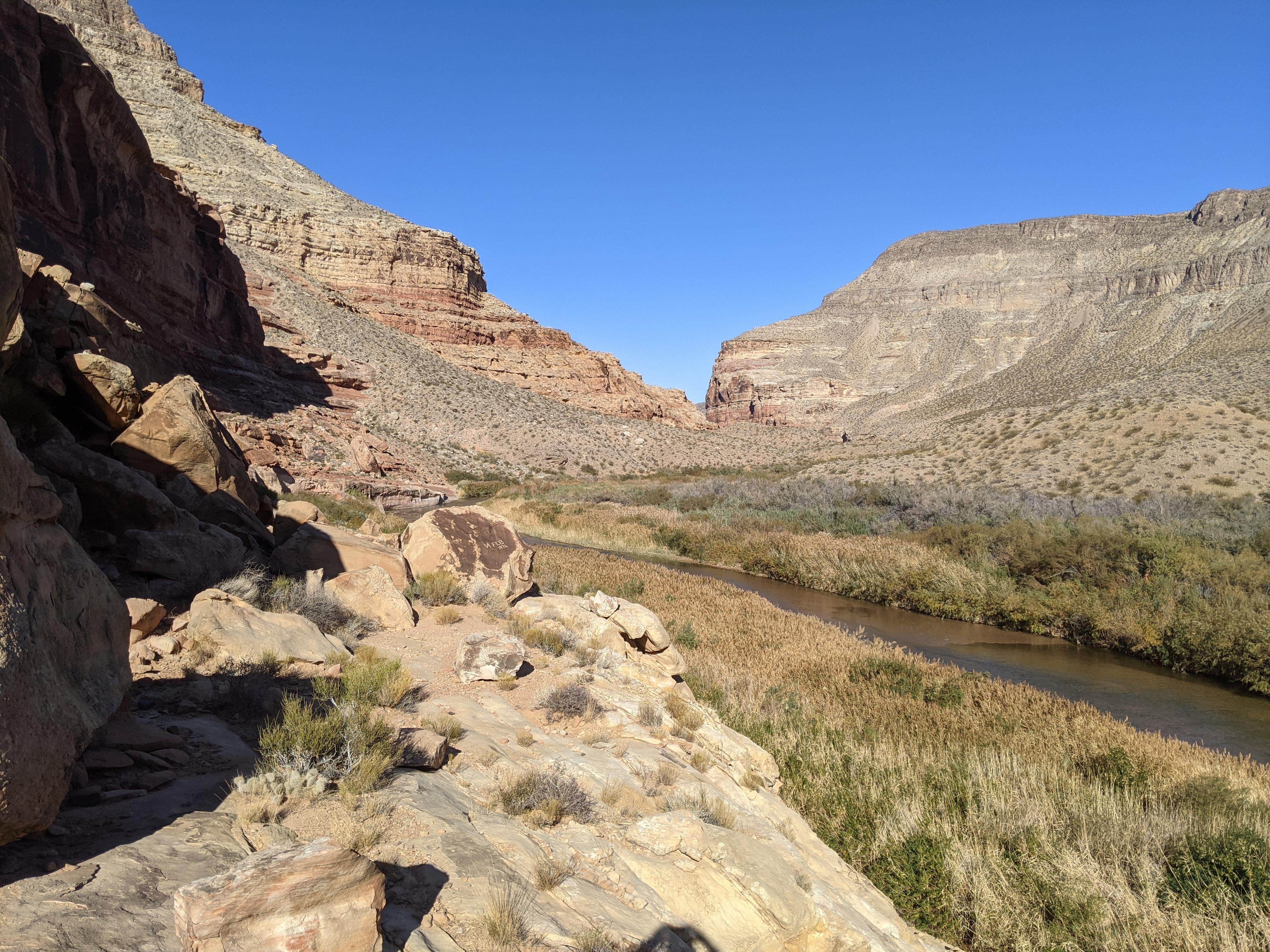
Virgin River Gorge
Overview
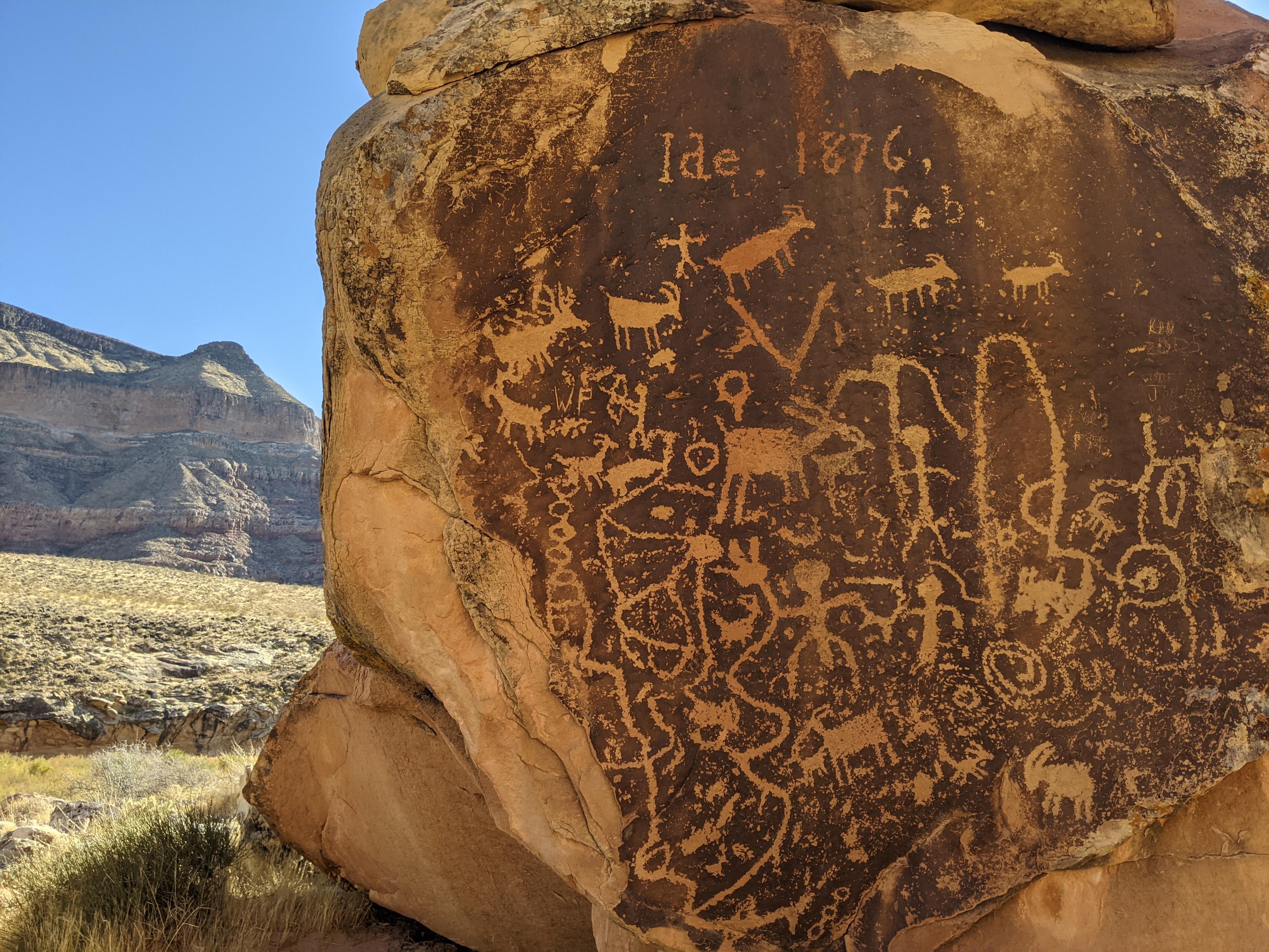
This short hike takes you to several interesting petroglyph panels and provides nice views of a very pretty section of the Virgin River Gorge. The two largest panels have interesting geometric shapes interspersed with people and animals; one is a large boulder that stands on its own and the second sits on a ledge like a large writing slate. This route would make a good place to stretch your legs on a journey along Highway 15, and the two route options will allow folks to stop whether they are heading north or south. I recommend the southbound route when possible because it is more direct and avoids a river crossing. A big thanks to Ironrider for pointing this hike out!
Full Details
To help keep the riff-raff out, and encourage participation, you must login to see the details.
Login For Full DetailsRegistration is free and easy.