 Hiking
Cat and Dizzy Trail Canyons
Hiking
Cat and Dizzy Trail Canyons
Western Swell
Overview
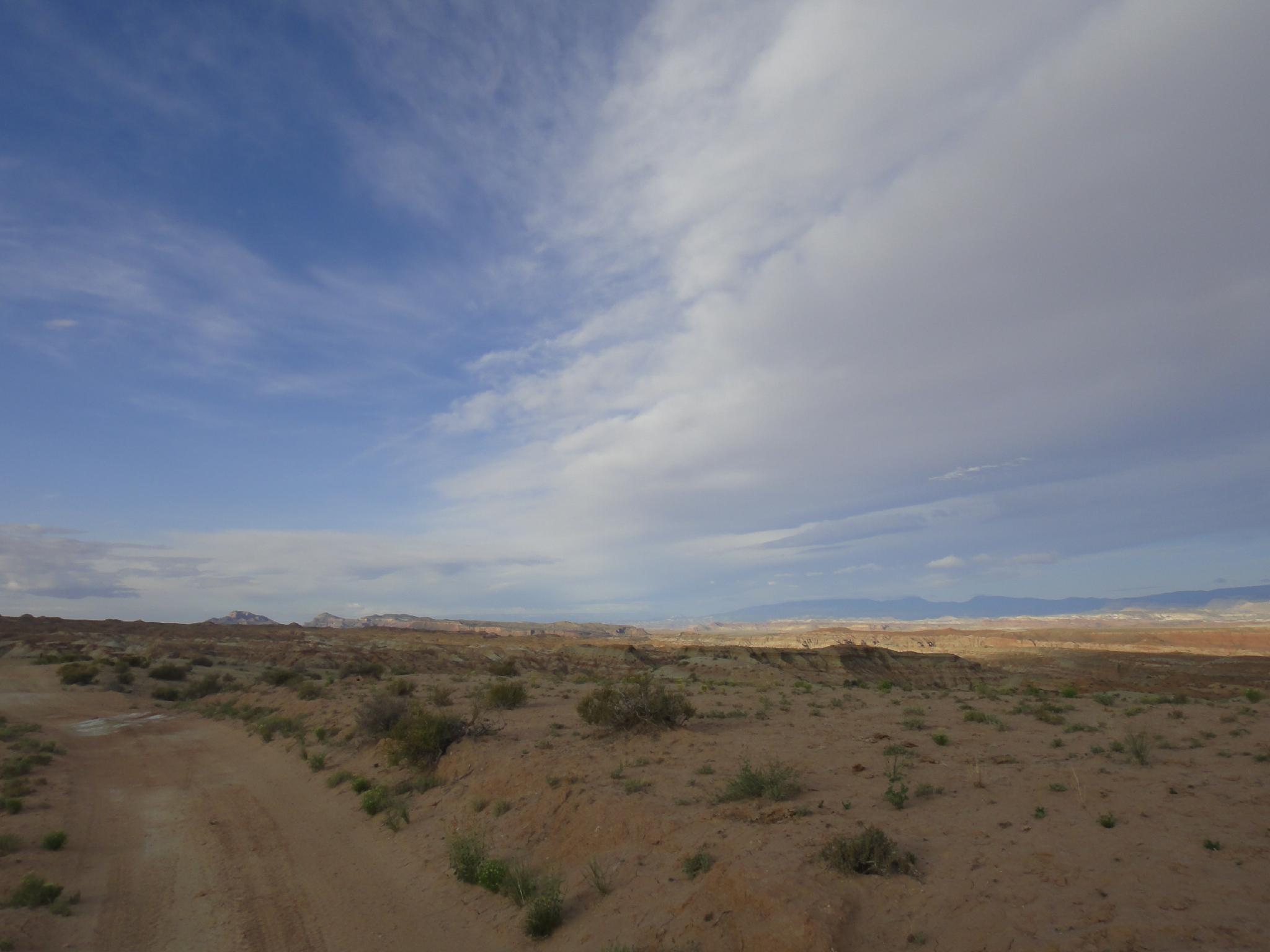
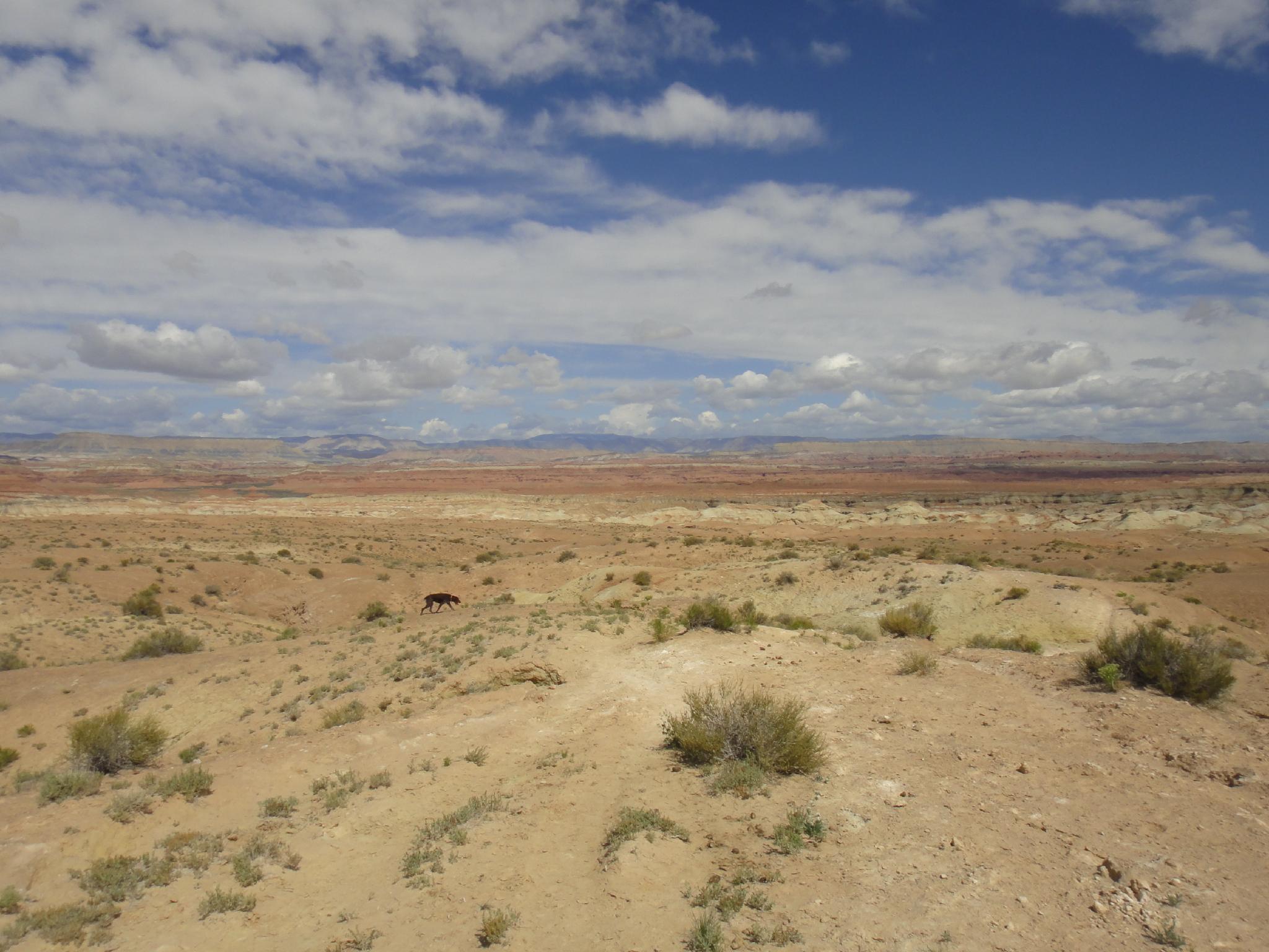
Nestled on the western edge of the San Rafael Swell, Cat and Dizzy Trail canyons offer a moderate day hike in a very seldom visited area. The hike goes down Cat Canyon to Muddy Creek, then returns up via Dizzy Trail, making a loop hike. Though I generally like most areas of the Swell, these canyons seemed a bit stark for even my tastes. I would, however, recommend the hike in early spring when the wild flowers are in bloom. They were out during my hike and made for a stunning contrast of colors and vibrancy in an otherwise muted landscape.
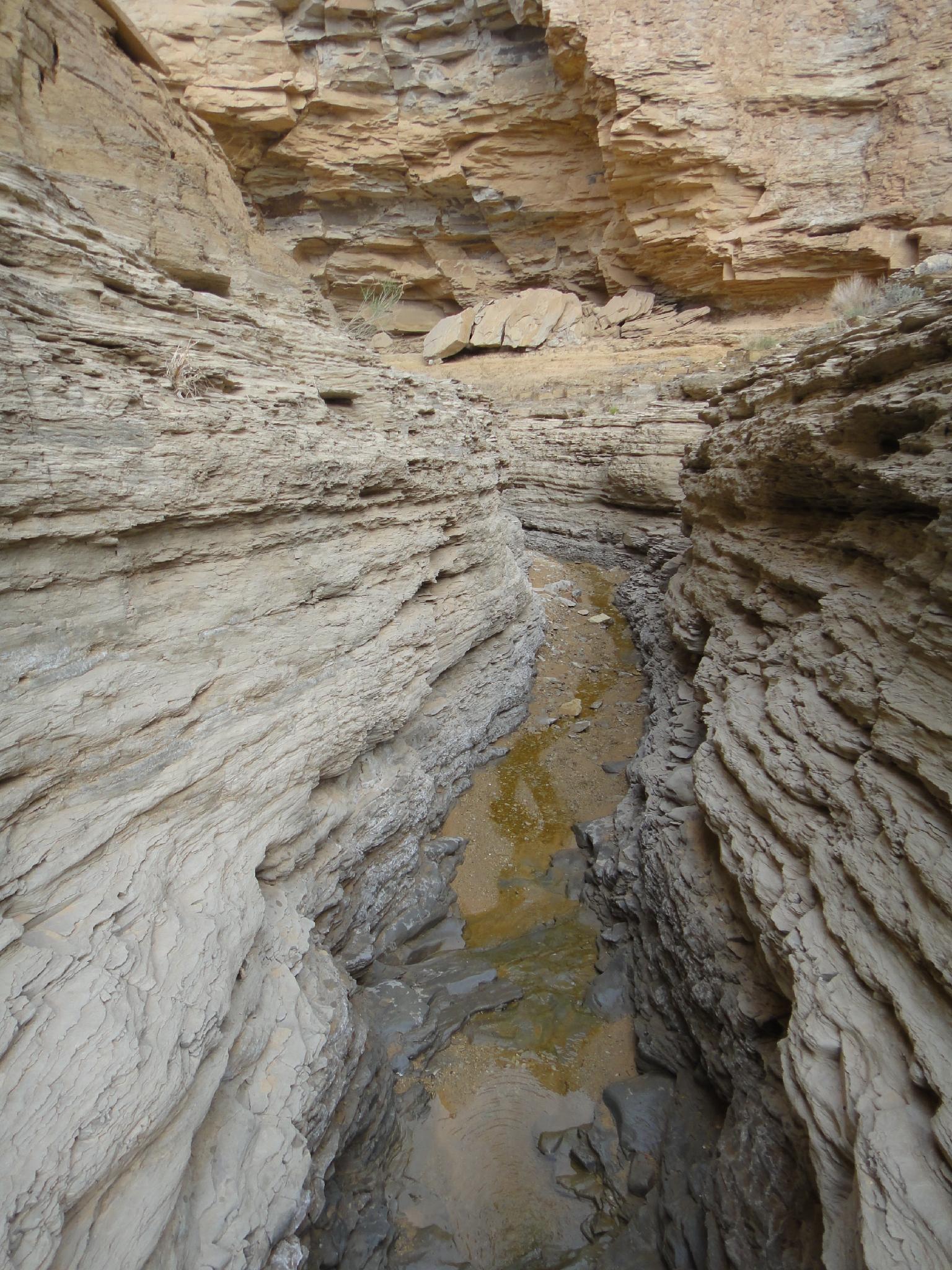
A short stretch of narrows near Muddy Creek makes the hike, though most of the hike is out in the open desert. Beware, bugs will be problematic in late spring, bring long sleeves and pants. The Muddy Creek or spring water could be filtered, but bringing all the water you need is recommended.
Getting There
The trailhead is reached off of Interstate 70, exit 108. This is about 50 miles west of Green River, UT or 54 miles east of Salina UT.
From the highway, go south, staying on the main road signed Lone Tree Crossing. (road #923)
- 0.45 - Stay right.
- 1. 0 - The main road crosses a wash, then begins heading south along the wash.
- 5.3 - T-Junction. Go left and reset your odometer. (Onto Road #927)
- 0.6 - The road goes up the wash bed.
- 1.4 - Side road on the right.
Go right and reset your odometer. Note: The road from here is rough and requires at least high clearance. It can be walked if needed. - 1.2 -Go right.
- 1.4 - The Bottom of Cat Canyon and the trailhead.
Route Description
To Muddy Creek (1.5-2 hours)
From the bottom of Cat Canyon, head downstream. It is open and easy walking. In about 30 minutes (1.6 miles), Dike Spring is on the right. On the return, you will re-enter Cat Canyon at this spot.
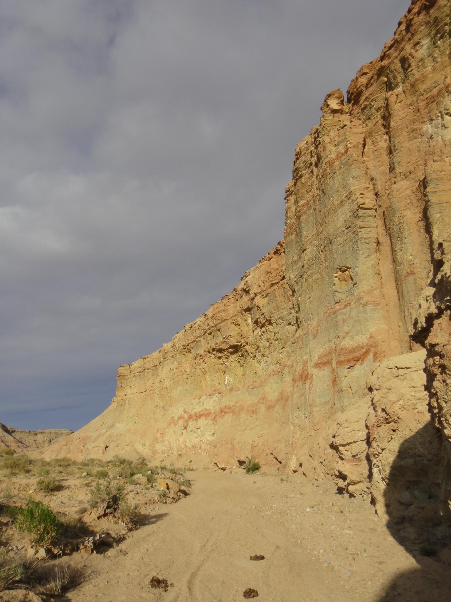
Continue down Cat Canyon. About an hour or so from the trailhead (2.2 miles), the canyon becomes entrenched and deepens quickly. Dizzy Trail canyon comes in shortly on the left, but it is worth the short side trip to continue down to Muddy Creek proper. (2.8 miles one way from the trailhead)
Up Dizzy Trail (2.5-3 hours)
From Muddy Creek, go back up Cat Canyon to the divide with Dizzy Trail. Go right up Dizzy Trail. The canyon is deep walled at this point, but soon passes through a spring and tamarisk before opening up into the badlands. Stay in the main wash, following it for 2 miles from Cat Canyon (about an hour) to a very well used social/animal trail leaving on the left.
Follow the social trail as it climbs up, meanders west, then northwest across the badlands. Beautiful country in a very stark way. After 1.3 miles (25 or so minutes), it descends back into Cat Canyon. Go right, up Cat Canyon back to the trailhead.
Maps

12S 492429E 4290095N
38°45'34"N 111°05'14"W
12S 494166E 4289427N
38°45'13"N 111°04'02"W
12S 491712E 4288475N
38°44'42"N 111°05'43"W
12S 492055E 4289013N
38°44'59"N 111°05'29"W
12S 493997E 4291210N
38°46'11"N 111°04'09"W
12S 493366E 4292884N
38°47'05"N 111°04'35"W