 Hiking
Fire Wave
Hiking
Fire Wave
Valley of Fire
Overview
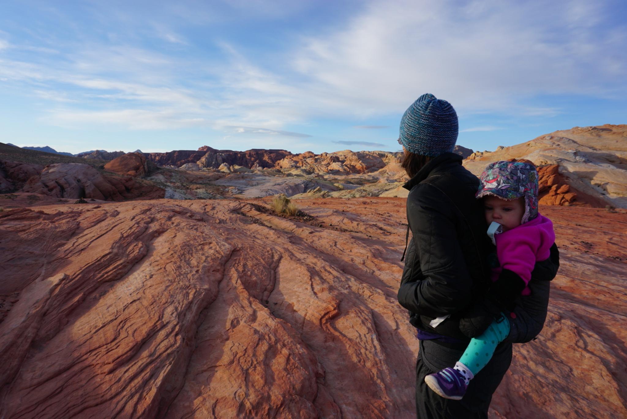
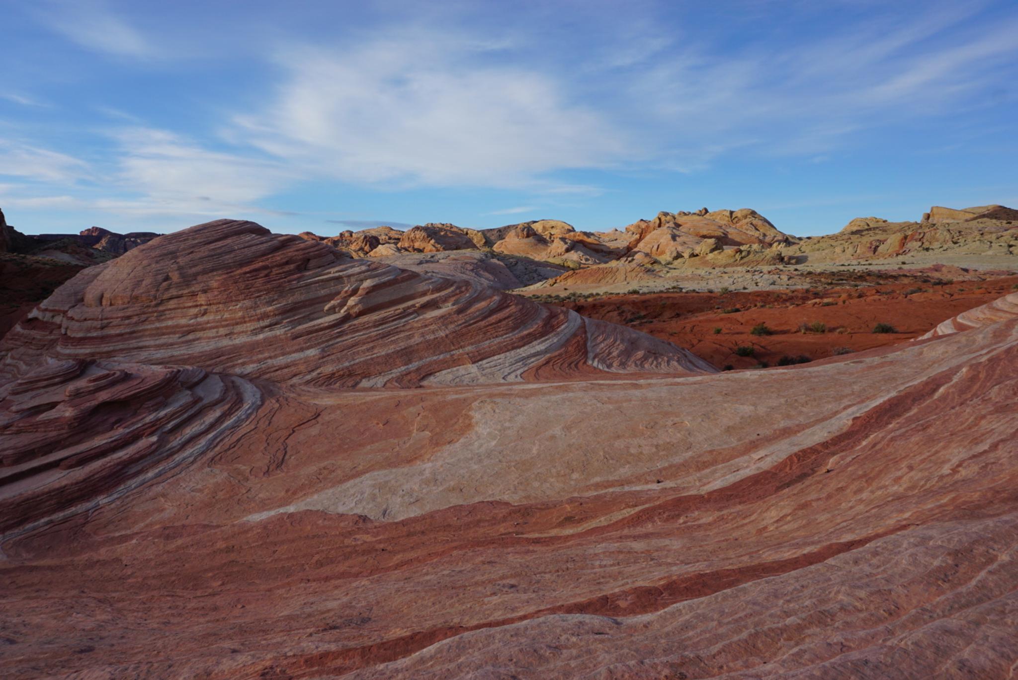
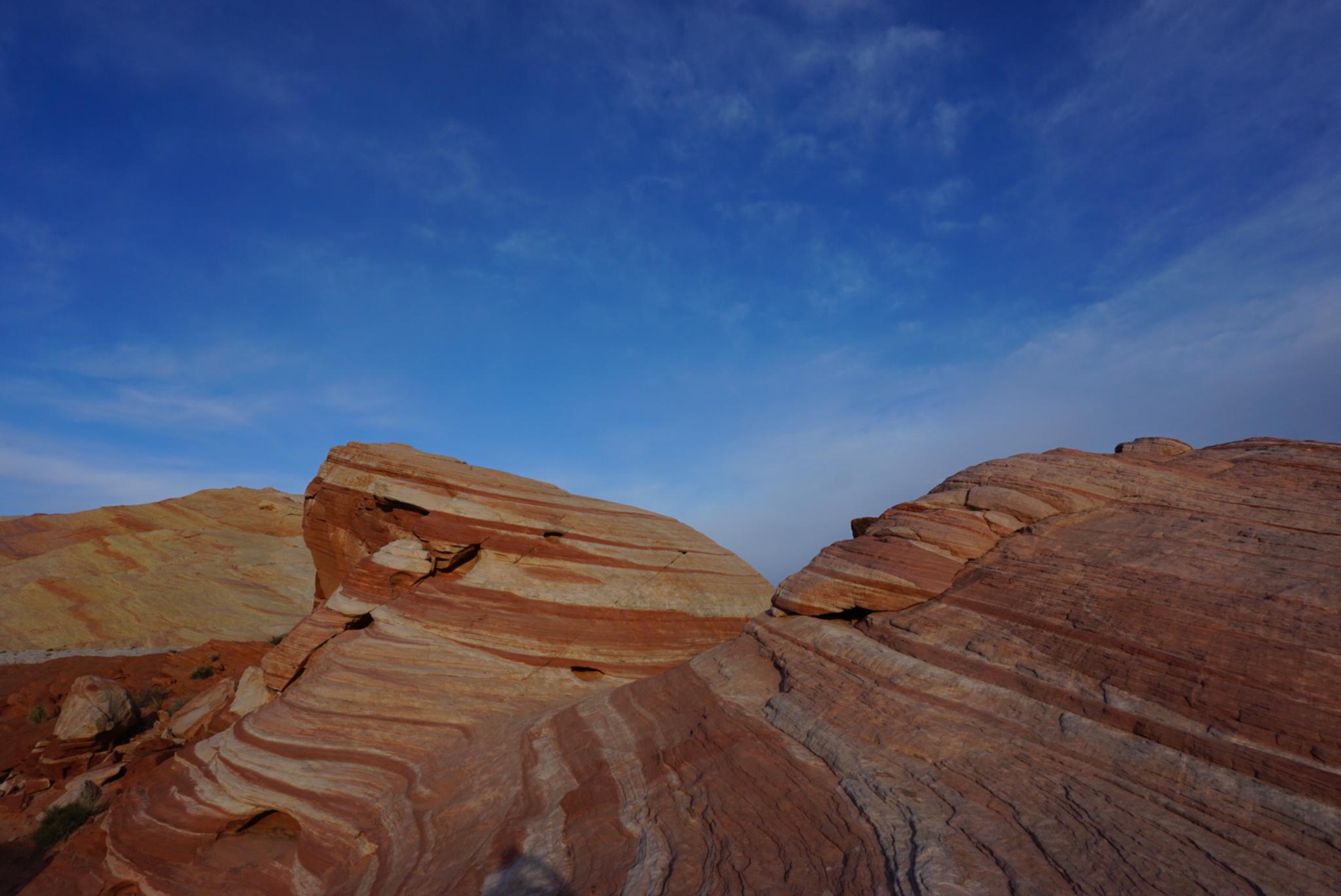
One of the newest park trails, Fire Wave, was once a social trail that has now become an official attraction. The eons compressed the shifting dunes into colorful striated rock. The hike is reminiscent of the Wave in the Arizona Strip, without the permit hassles. This hike was my favorite hike in Valley of Fire. On our trip, we visited just after sunrise and the colors were particularly vibrant. Surprisingly, an early start also meant we enjoyed the scenery without other visitors. A unique place that is particularly great for photographs without flocks of people in the scene.
Fire Wave is a good family friendly hike but can be brutally hot in the summer. If hiking in hot times of the year, I recommend a sunrise or sunset visit. If visiting at sunset, be sure to bring a headlamp for the return trip.
Getting There
Reach the park visitor center by taking exit 93 from I-15 if coming from the east ,or exit 75 if coming from the west (Las Vegas). From the highway, the route to the park is well signed. There is a fee to enter the park ($10 as of 2018 for day use).
From the Visitor Center, go north on the Mouse's Tank Rd/White Domes Rd for 4.6 miles to a signed parking area on the right, and another parking area on the left side of the road. The parking area on the right is the trailhead.
Route Description
From the trailhead, the sandy trail heads east toward the cliff. Once near the base of the cliff, the trail turns right (south) and meanders around the south end of the cliff and through a series of large boulders.
On the other side of the boulders, the iconic red and white sandstone of the Fire Wave starts. Follow the trail east, then south to the main section of Fire Wave, perched above a sandy wash.
Return the same way.
Maps

11S 721370E 4040970N
36°29'19"N 114°31'43"W
11S 721956E 4040353N
36°28'58"N 114°31'20"W