 Hiking
Chute Canyon
Hiking
Chute Canyon
Southern Swell
Overview
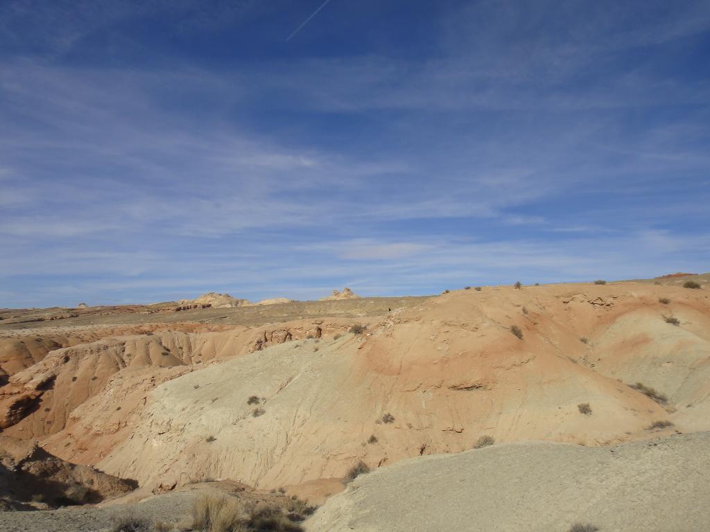
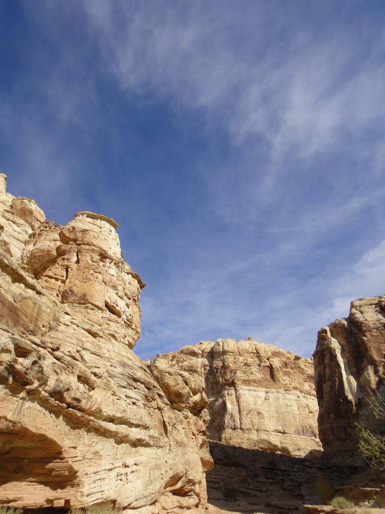
Compared to its neighbors, Crack Canyon to the east and Little Wild Horse to the west, Chute Canyon comes off as a bit of a dud. Wide and high walled, it is easy to pass through and lacks the narrow slot sections of its neighbors. Chute Canyon is best visited as a loop hike going down Crack and up Chute, or as a casual after dinner hike after climbing Chute Buttress. The loop hike is fairly long, but can be shortened a bit with two cars. Though long, I recommend it. Seeing Crack Canyon, then traversing along the face of the reef and up Chute makes for a good loop.
Getting There
From I-70 (west of Green River), go south on Highway 25 about 25 miles.
Route Description
Down and Back (1-4 hours)
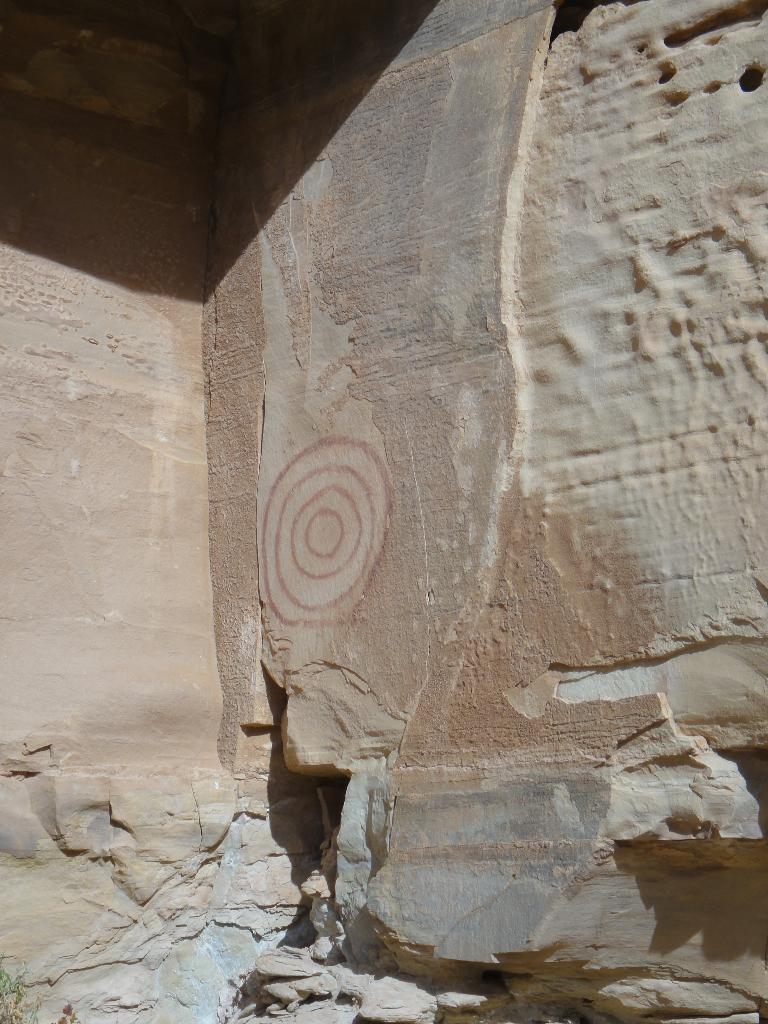
From the trailhead, simply wander down Chute as far as desired. It is easy going, on an old road at first, then in the dry stream bed. After about 3.5 miles (1.5 hours), Chute exits the reef, with a prominent side wash coming in on the left. Follow it up a couple of minutes for a pictograph on the left hand wall. Return the way you came.
Crack / Chute Loop (5-7 hours)
My favorite way to do Chute is as a loop with Crack with two cars, this is about 8.5 miles. Without two cars, about 11 miles. Start at the Crack Canyon trailhead.
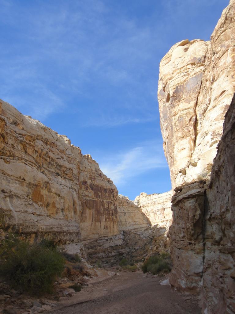
From the signed trailhead, follow an old road as it heads down the wash. It gets progressively worse as you follow it toward Crack Canyon. As you near the reef, where the canyon deepens, the road ceases to exist and a wooden fence marks the end of motor vehicle travel. Follow the canyon as it cuts deeply into the reef. This first section of canyon is impressively deep with fascinating solution pocket marred walls. 10-15 minutes past the fence a short narrows section is encountered. It has a couple of easy downclimbs, or can be bypassed on the right (looking down canyon).
5 minutes past this first small narrows is an impressively undercut section. This undercut section of narrows is very photogenic in the right light. The canyon opens briefly before another short narrow section is encountered. This section has a couple of minor downclimbs, but nothing difficult.
The pattern repeats itself, as the canyon opens and then begins to narrow again. This narrow section, however, begins with a 2 m ( 7 ft. ) downclimb that can be a little tricky for some. If this seems too difficult, go back up canyon about 3-5 minutes, watching on your right (looking up canyon) for a boulder filled crack. You can ascend this crack a level, and then follow a cairned trail down canyon bypassing the difficulties. The bypass is a good option if you have dogs with you.
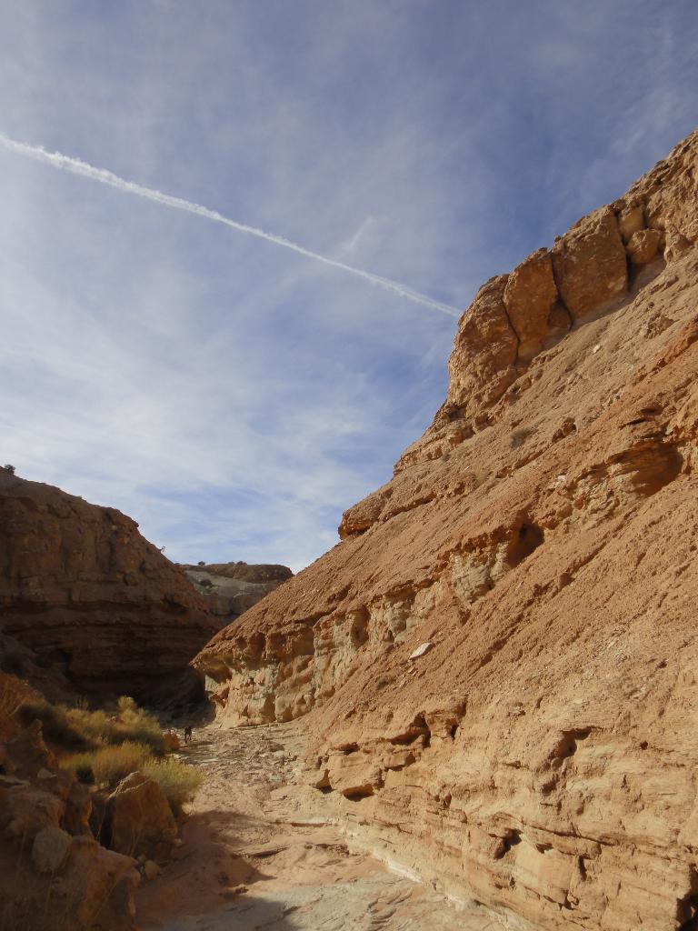
Continue down canyon through more open and narrow sections. Near the end a very deep narrow section is encountered and marks the spot where the canyon begins getting shallow as it exits the reef. 20 minutes or so after the deepest section, you exit the slickrock walled canyon and enter the dirt and rock lined wash on the other side of the reef.
Just before a dryfall in the now wide and open canyon, a trail and trail marker point to Chute Canyon on the right. Follow this social trail. It is well defined and easy to follow at first, but then deteriorates in sections. Head west, with a touch of southwest across broken ground for about a mile until a deep side wash appears on your right. Follow the rim until it is easy to scramble in.
Follow the deep wash down. Just before Chute a pictograph panel appears on the right. A couple of minutes past the panel is the confluence with the now wide open Chute Canyon. Follow Chute up canyon as it cuts through the reef. (3.5 miles from the confluence to the trailhead.)
If you spotted a car at the Chute Trailhead, your are done. Otherwise walk the road back to the Crack Trailhead. (about 2.6 miles / 1 hour)
Maps

12S 522175E 4277191N
38°38'35"N 110°44'43"W
12S 520362E 4275228N
38°37'31"N 110°45'58"W
12S 521859E 4271856N
38°35'42"N 110°44'56"W
12S 521634E 4271655N
38°35'35"N 110°45'06"W
12S 523907E 4273246N
38°36'27"N 110°43'32"W