 Hiking
Devils Castle Traverse
Hiking
Devils Castle Traverse
Little Cottonwood Canyon
Overview
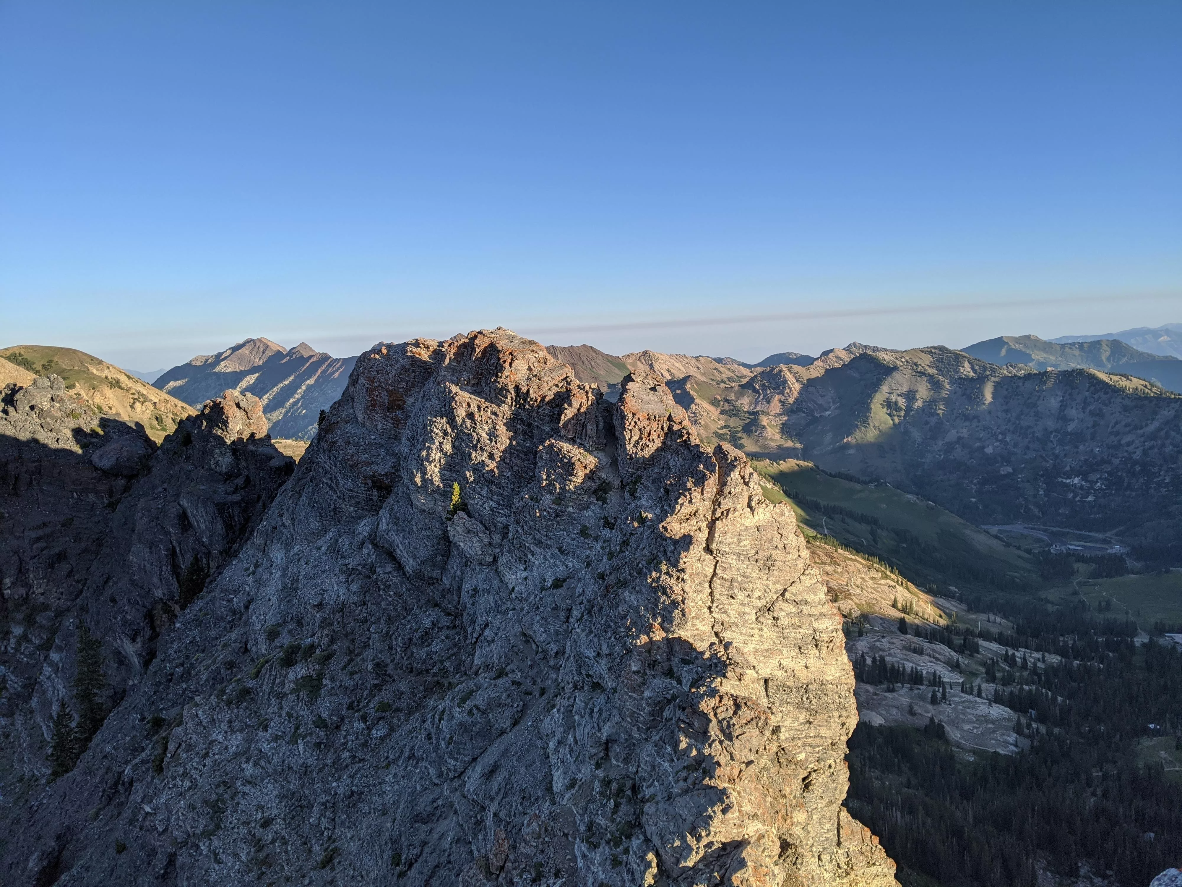
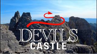
One of the most spectacular ridge scrambles in the Wasatch must be the Devils Castle Traverse. Looming over Albion Basin, the rugged limestone ridge that makes up the Castle looks formidable. The traverse is one that many Wasatch hikers aspire to do and is a classic must-do outing for those with the skills. The castle is made up of 3 summits, with the middle summit being the high point. Hikers without scrambling experience can usually make it to the first (west) summit. There is little exposure to the first (west) summit, and the movement is straightforward.
The full traverse requires scrambling or climbing experience and is not suitable for those with a fear of heights. Even relative beginners will enjoy this route if someone in the group has experience and can give some route finding and movement tips. One of the joys of the route, to me, is the many different paths you can take. I was surprised to find how many different options there are! No matter the route you choose, there are a few areas that are very exposed, but many sections have different options with various levels of exposure. All the exposed climbing is on quite stable rock.
I like to do hikes I have not done before, but this is one I will be repeating many times over the years. It is an amazing outing, with a relatively short approach and spectacular position.
Getting There
Little Cottonwood Canyon is on the east side of the Salt Lake City Valley. Get there by following I-215 to the east, taking exit 6 off the interstate and heading east toward the mountains.
Follow 6200 South which becomes Wasatch Blvd for 1.8 miles to the stop light and signs for Big Cottonwood Canyon. Continue south (straight) through the light an additional 2.3 miles to a junction and light. Stay left here, reaching the mouth of Little Cottonwood Canyon in an additional 1.6 miles.
From the mouth of Little Cottonwood, travel up the canyon 11.2 miles to the signed Secret Lake Trailhead parking, just before the Albion Basin Campground.
Route Description
To the Sugarloaf / Devils Castle Saddle (1.5-2 hours / 1.5 miles)
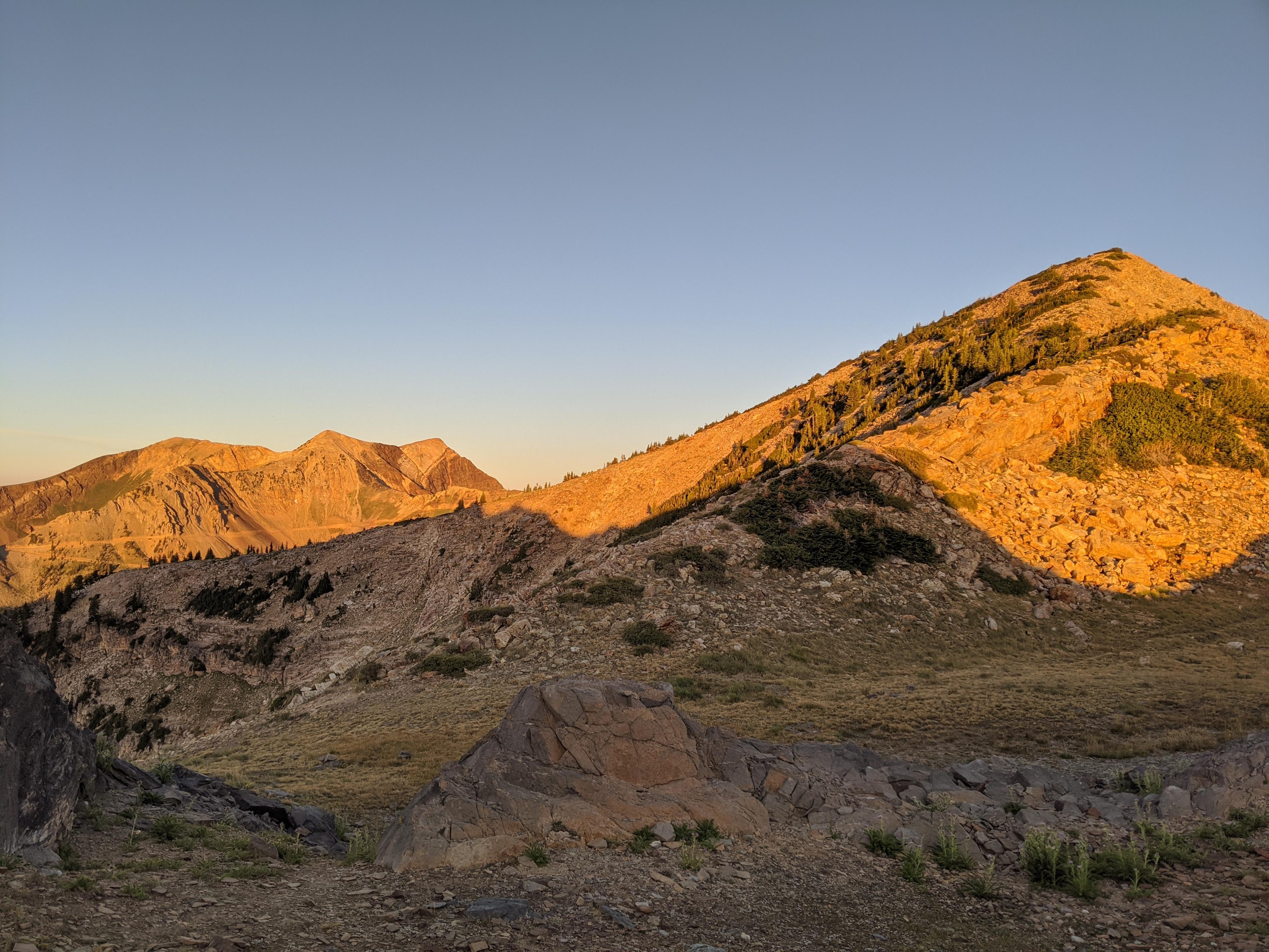
From the trailhead, find the Cecret Lake trail on the south side of the campground pay booth. It is wide, popular, and well worn. Follow it as it becomes a road, then back to a trail en route to Cecret Lake. Follow the trail all the way to the lake. Sugarloaf Mountain is the obvious mountain on the south side of the lake. Go left (east) around the lake. There are a few social trails here, but they generally coalesce into a more well-defined trail as this trail begins climbing south and up.
The trail begins a series of wide sweeping switchbacks as it begins climbing toward the ridge. As you get higher on the ridge, the switchbacks steepen and become shorter. A junction is reached just before the ridge. Stay left (right goes to Sugarloaf Mountain).
Across the Castle (0.5 miles)
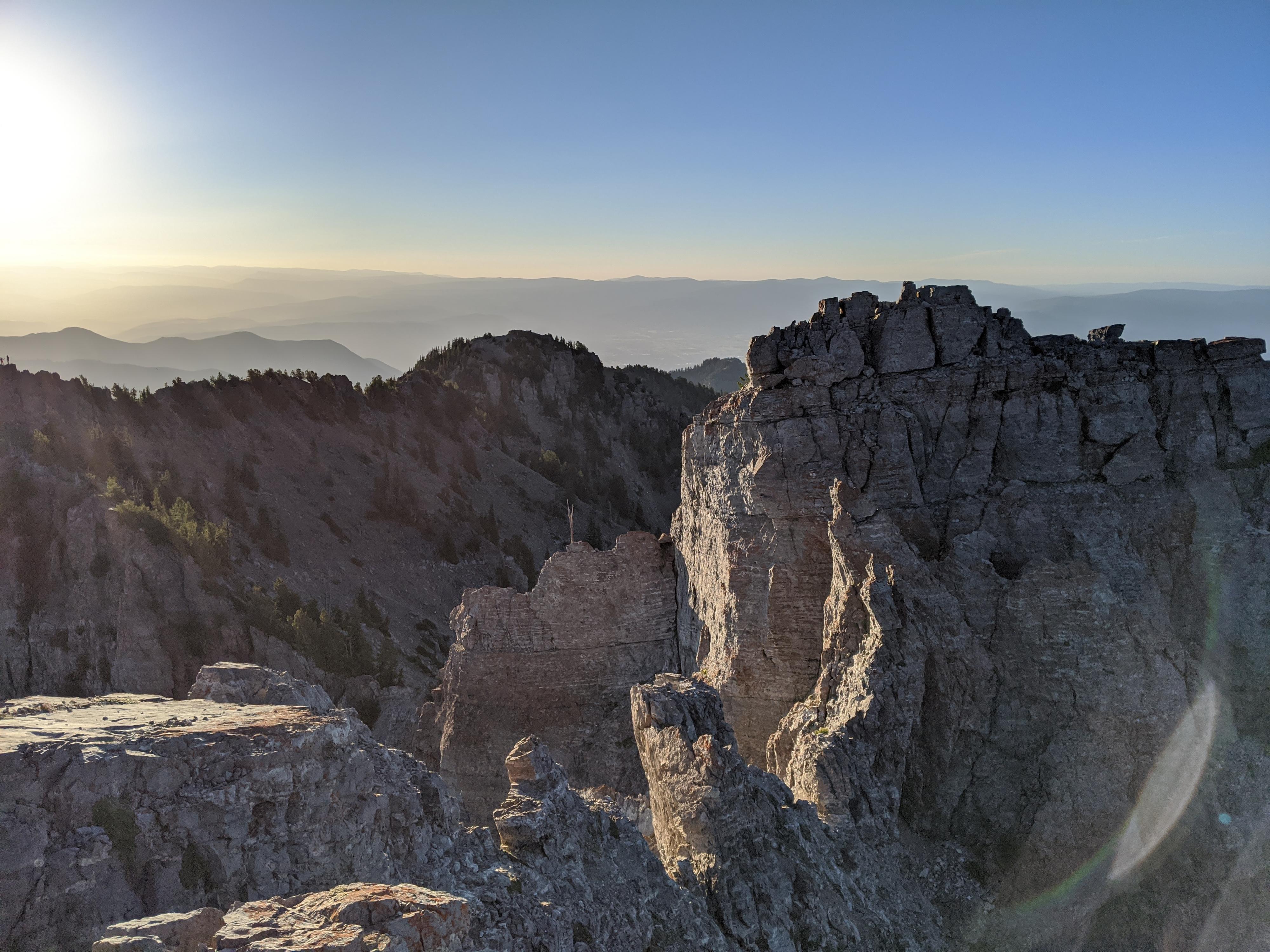
Once on the ridge, head east. The trail is well used here and passes a small rock shelter. The trail braids quite a bit as it enters more rocky territory. Stay on the most used trail. The trail loses a little elevation, then climbs a steep loose dirt section to re-gain the ridge. The first summit is just ahead. Scramble up to take in the view from the first summit of the Castle. If this first scramble gave you any pause, it is likely time to (carefully) reverse the scramble and stop for the day. The scrambling gets a bit more difficult and exposed from here.
From the first summit, descend and cross “walk-way” type section. Some stay on the knife-edge ridge here to reach the second summit. If the exposure is giving you pause, you can also stay right and down off the knife-edge ridge, climbing directly up to the summit when you see a small tree. The second summit is the tallest and has a mailbox/register on its summit.
The second to the third summit looks harder than it is. Descend off the first summit, then trend a touch right and climb a short section. Once up the first short section, either traverse right then up to the summit, or take a harder more direct line straight up. There is a register ammo can on the third summit as of 2020.
Getting down from the third summit is social trail. It is steep and a touch loose, but straightforward. Once down, follow a use trail as it traverses below the ridge to the left. Keep a close eye here, when the trail gets close to the ridge again, look for a minor junction. Take the left (minor) trail up to the ridge just a few feet from the main trail.
Descent into Albion Basin (1 hour / 1.5 miles)
From the ridge, assuming you took the correct minor side trail, there is an obvious steep dirt trail heading down into Albion Basin. Ugg! There is no effortless way down it! It is steep loose dirt that requires slow and careful effort to get down. The Point Supreme Road at the bottom is the goal, pick whatever route seems easiest to get to it.
Once at the Point Supreme Road, go left and follow it as it descends, passes through some houses, and reaches the Albion Basin Campground. Go either direction at the campground loop to circle back to the trailhead.
Photos
Videos
Devil's Castle
Devils Castle Traverse - All the way to Mount Wolverine
Maps

12T 448115E 4492087N
40°34'41"N 111°36'47"W
12T 447470E 4490690N
40°33'55"N 111°37'14"W
12T 447487E 4490677N
40°33'55"N 111°37'13"W
12T 447982E 4490703N
40°33'56"N 111°36'52"W
12T 448123E 4490683N
40°33'55"N 111°36'46"W
12T 448318E 4490738N
40°33'57"N 111°36'38"W
12T 448556E 4491140N
40°34'10"N 111°36'28"W