 Hiking
Devils Garden And Landscape Arch
Hiking
Devils Garden And Landscape Arch
Arches
Overview
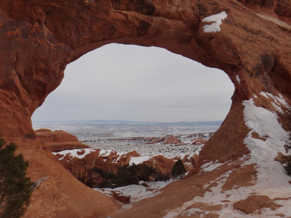
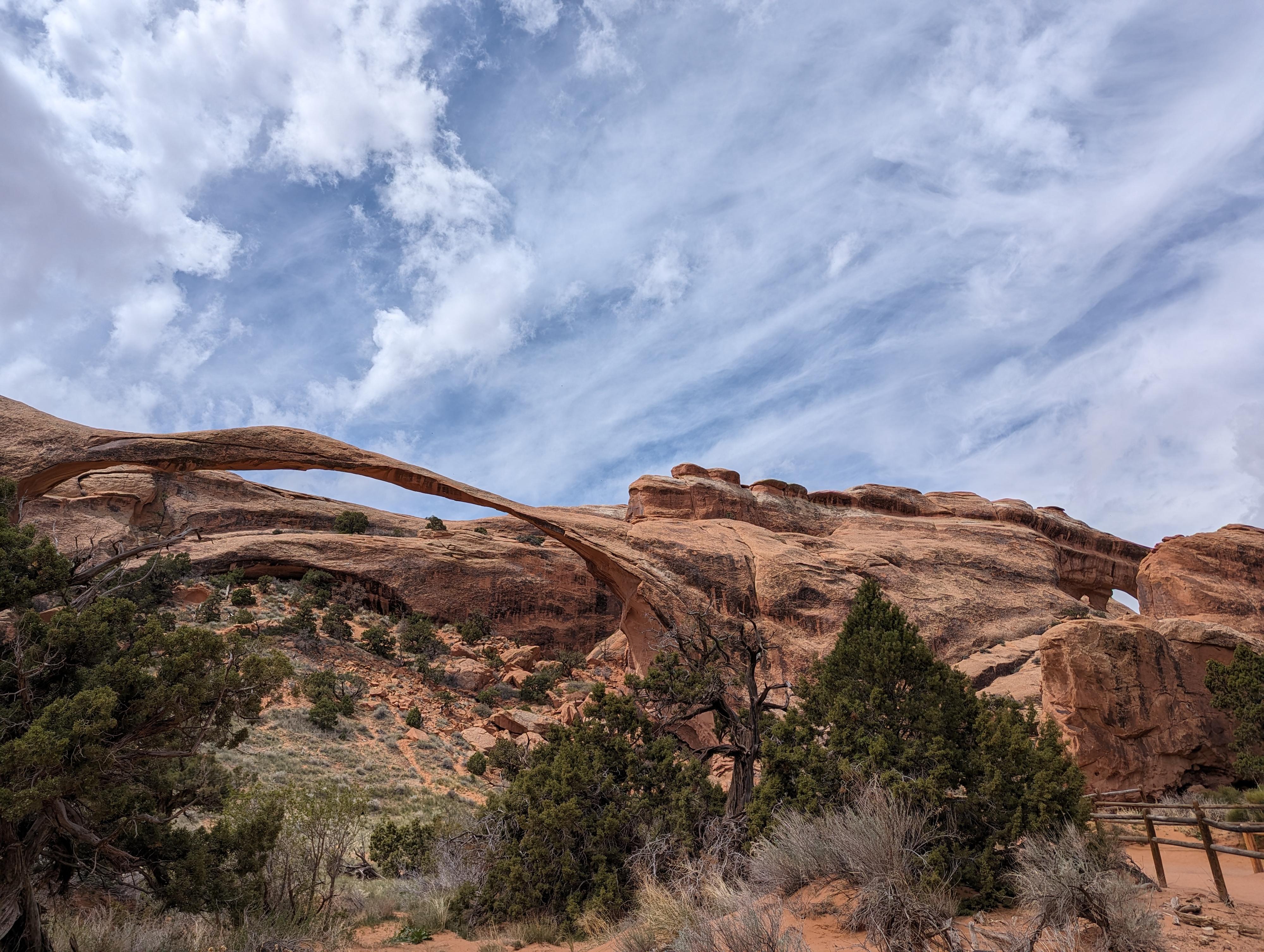
Devils Garden is home to Landscape Arch, considered by the Natural Arch and Bridge Society (NABS) to be the longest natural arch in the world. A stunning arch, it spans an amazing 290 ft, just edging out Kolob Arch in Zion for first place. Visiting just Landscape Arch is about a 1.5-mile roundtrip hike on a very wide and well-maintained trail. Suitable for most. Landscape Arch is also well known because a large chunk of it fell off in 1991 while tourists were visiting. Consequently, you can no longer walk directly under the arch.
Landscape Arch is a good starting point, but if time and energy allow, I would highly recommend the full Devils Garden Primitive Loop. The loop, with all side trips, is about 7.5 miles and visits 8+ arches and the amazing Dark Angel Tower along the way. (This is the longest maintained trail in Arches.) Though signs warn of difficult hiking, the trail is and straightforward, though be cautious if doing the hike in winter when the slickrock can be slippery and dangerous. If visiting in the winter, caution and Yak Trax or similar are recommended.
Getting There
From the Arches National Park visitor center, follow the Arches Scenic drive to its end, 17.6 miles from the visitor center. This is also where the only campground in Arches is located, the Devils Garden Campground.
Route Description
Rock art and historic sites are fragile, non-renewable cultural resources that, once damaged, can never be replaced. To ensure they are protected, please:
- Avoid Touching the Petroglyphs: Look and observe, BUT DO NOT TOUCH!
- Stay on the Trails: Stay on the most used trails when visiting sites, and don't create new trails or trample vegetation.
- Photography and Sketching is Allowed: Do not introduce any foreign substance to enhance the carved and pecked images for photographic or drawing purposes. Altering, defacing, or damaging the petroglyphs is against the law -- even if the damage is unintentional.
- Pets: Keep pets on a leash and clean up after them.
- Artifacts: If you happen to come across sherds (broken pottery) or lithics (flakes of stone tools), leave them where you see them. Once they are moved or removed, a piece of the past is forever lost.
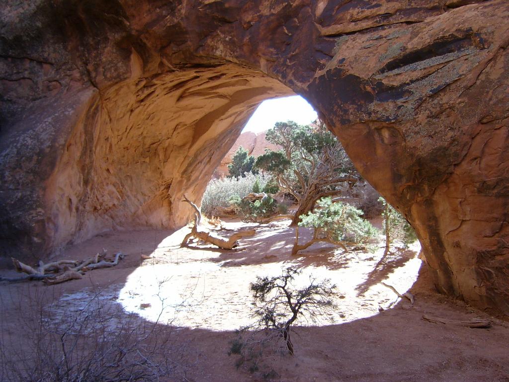
From the trailhead, follow the well signed Devils Garden trail north. A few minutes from the trailhead, the Tunnel and Pine Tree Arch diversion is on the right. This is a 0.5-mile roundtrip side trail that visits two arches. Pine Tree, in particular, is pretty and worth the visit. Continuing along the main trail, Landscape Arch and the primitive trail junction arrive about 30 minutes from the trailhead.
If doing the primitive loop, I suggest doing it counter clockwise.
Primitive Loop To Double O Arch
From the junction at Landscape Arch, go right, following the primitive trail north with big views of the Yellow Cat Flat area, I-70 and Book Cliffs to the north and northeast. Big, desolate views. The trail descends into a wash and begins following the wash upstream into the land of fins. A side fin is followed and climbed out just before the side trail to Private Arch. (0.5 miles round trip side trail, recommended). The primitive trail begins its final climb before Double O Arch.
Double O Arch to Dark Angel (0.8 miles round trip)
Dark Angel is a stunning tower that is visible from many areas of the park. It is well worth the short side trip to visit it. Follow the primitive trail from Double O Arch west and north to the tower. The tower has been climbed via its west face at a moderate 5.8C0 if pulling on bolts on the second pitch. The views to the west look across Salt Valley to Klondike Bluffs in the distance. Return the same way to Double O.
Rock art on the Devil's Garden Trail?!?! Yes. On the way to Dark Angel, the trail meanders close to the top of a small cliff band then heads more northwest. At the base of the cliff band are several panels. Description kept a bit vague, finding them is half the fun! A sign denotes these as special and to visit with care. I echo that sentiment. When I first visited these in 2004, there was very little traffic to them. In recent years, the secret seems to be out as they are often visited now and showing up in guidebooks. Please visit respectfully.
Double O Arch to Standard Trail
The trail from Double O Arch back is very well travelled. Follow it, be careful getting up on the fins if it is snowy or slick. 10 minutes from Double O Arch the Black Arch viewpoint is on the left and overlooks the valley the primitive trail ascended and has great views.
Continuing back toward Landscape Arch, a side trail comes up soon for Navajo and Partition Arches. Navajo Arch is likely my favorite of all the arches on the hike though both are well worth the side trip. (about 0.8 miles for both side trips).
After the Navajo / Partition junction, the main trail descends a fin and reaches Landscape Arch and the original junction. Follow the main trail back to the trailhead.
Maps

12S 622031E 4293602N
38°46'58"N 109°35'42"W
12S 621201E 4294473N
38°47'26"N 109°36'16"W
12S 619160E 4295614N
38°48'04"N 109°37'40"W
12S 619897E 4295907N
38°48'14"N 109°37'09"W
12S 619741E 4295426N
38°47'58"N 109°37'16"W
12S 620688E 4294855N
38°47'39"N 109°36'37"W