 Hiking
The Toadstools
Hiking
The Toadstools
Paria
Overview
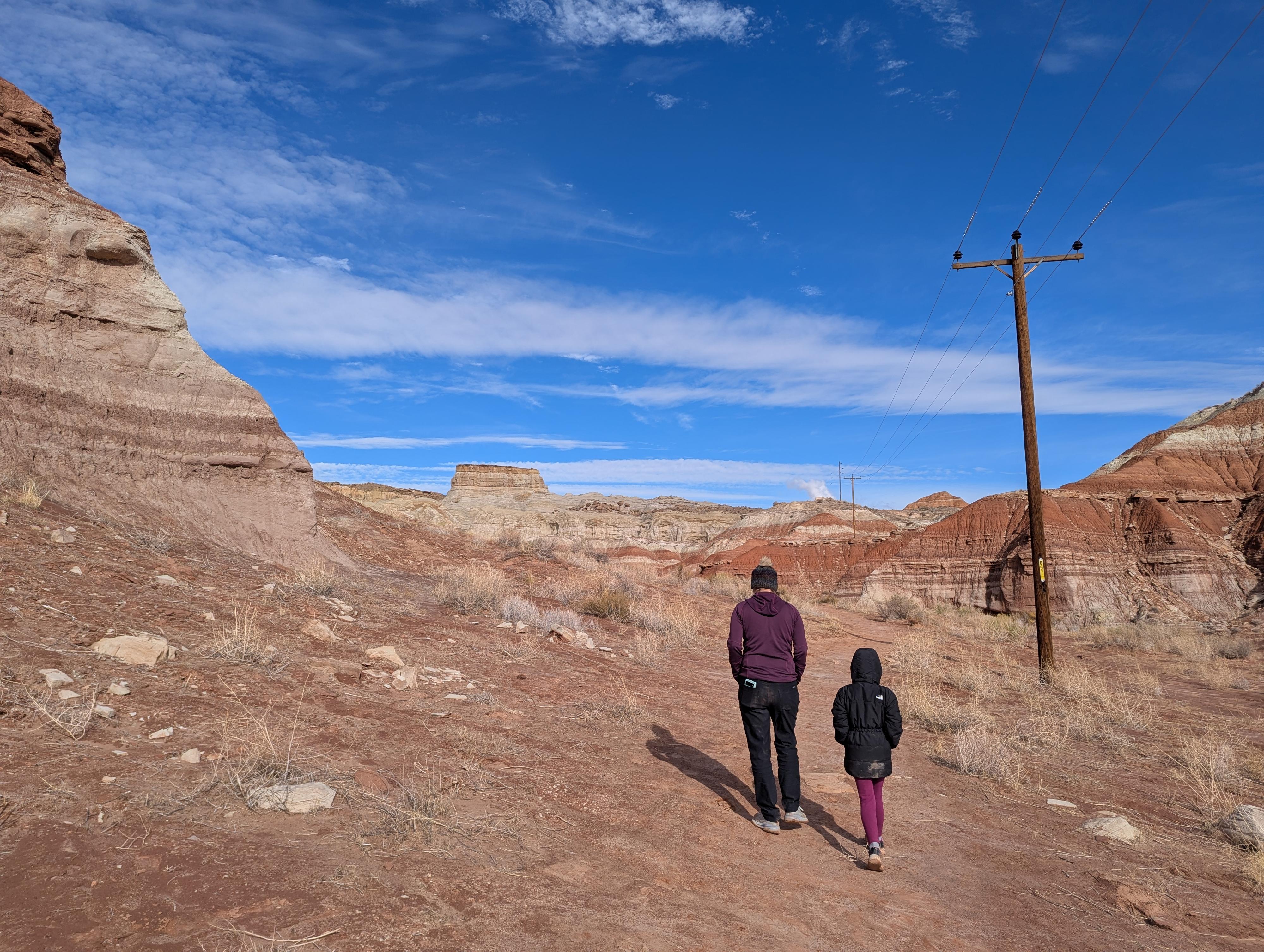
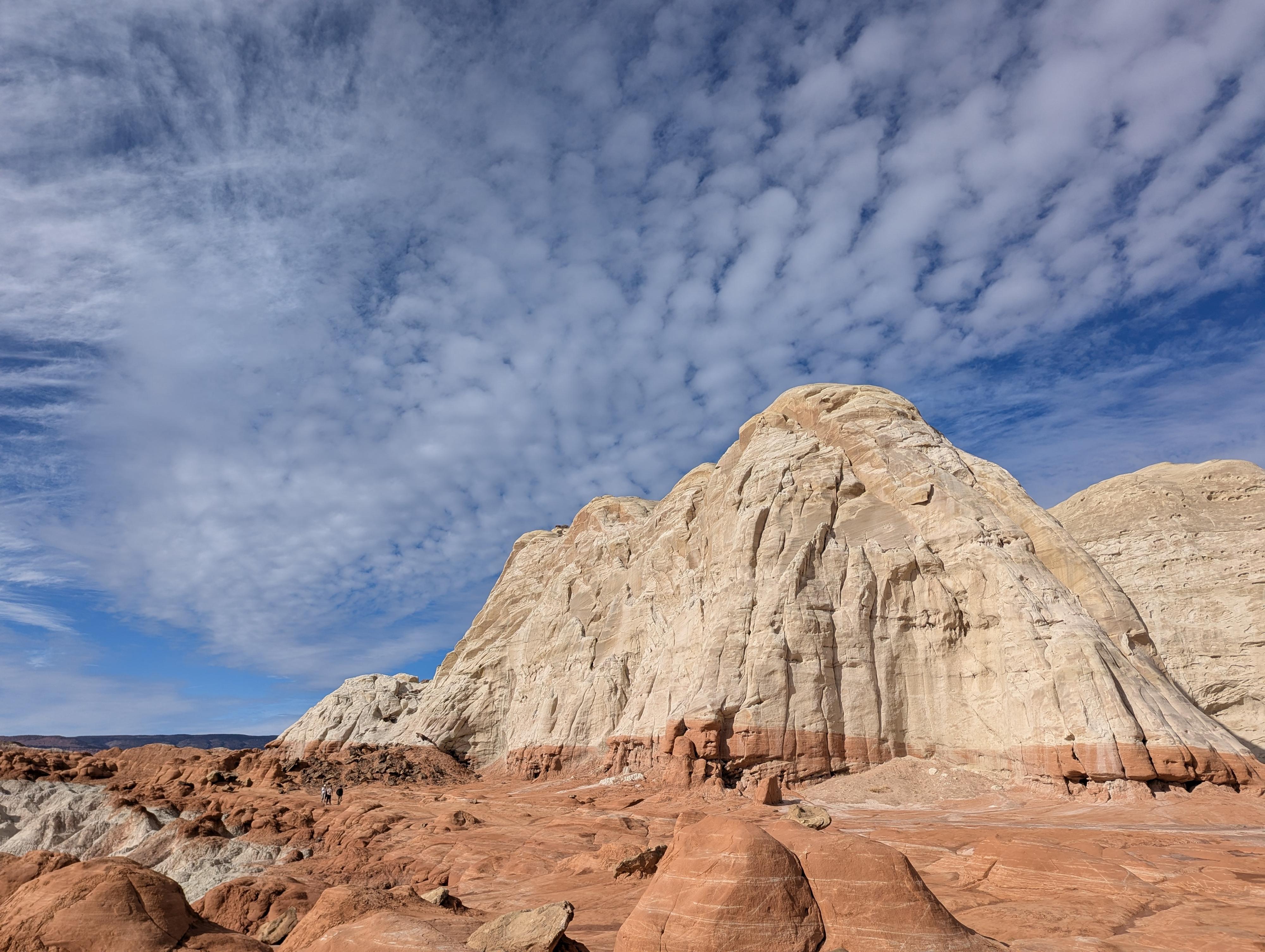
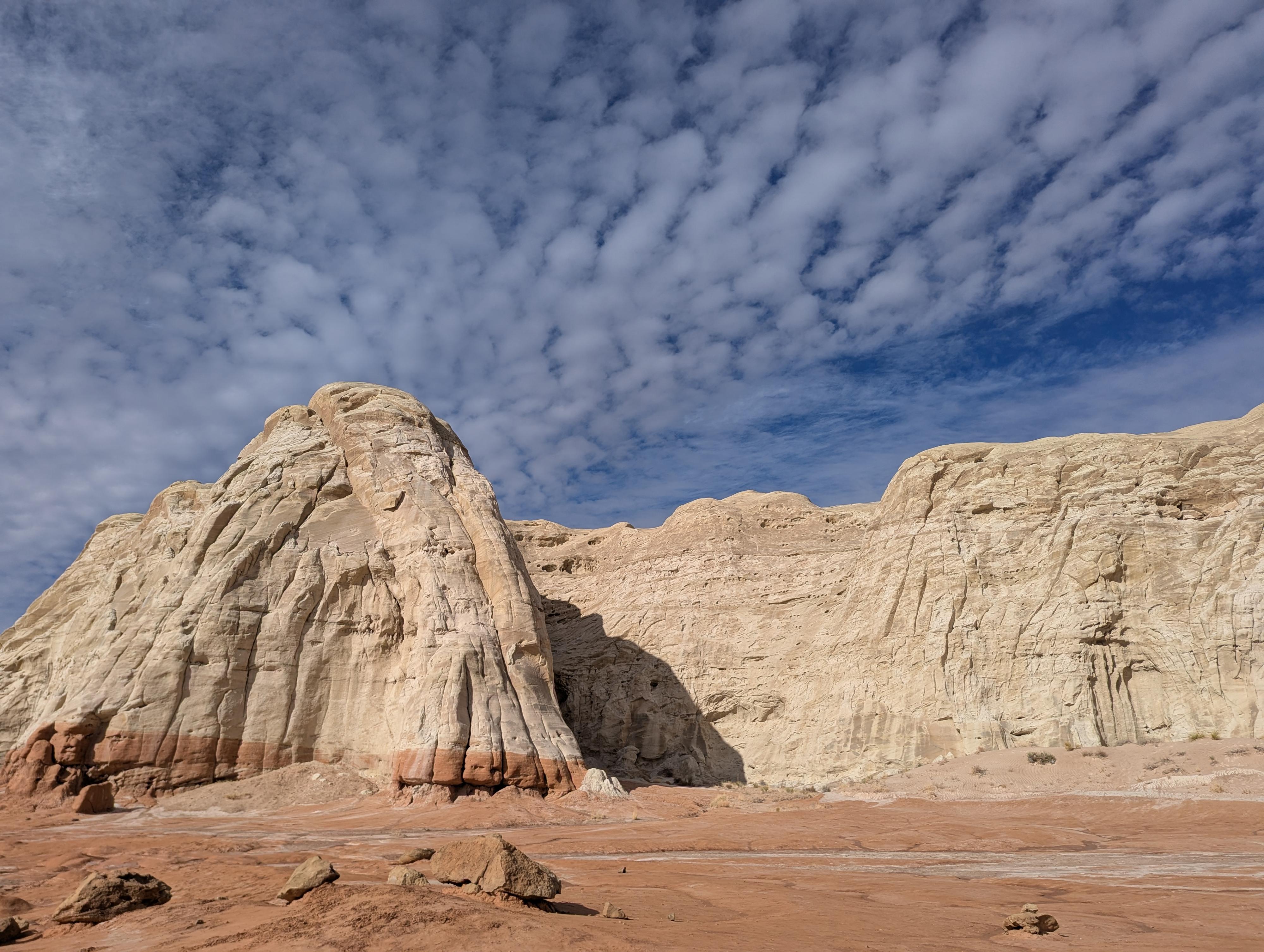
The Toadstools, also known as the Paria Rimrocks, is a unique area near the Paria Ranger Station, about 45 miles east of Kanab. The toadstools themselves are sandstone formations that have a harder caprock that has protected a softer, more easily weathered tower. The towers range in height from a meter or two to 10+ meters. The Toadstools is a very fun family accessible place to visit, and photographers will delight in the unique colors and shapes that dot the area.
When I first visited in 2008, this was a not particularly a popular place to visit. Parking was whatever wide spot you could find off the highway, and there wasn't much of a social trail at the time. There is now a fairly large parking area and a very well-worn trail. On our recent visit (2024), the parking area was full when we visited, and equally full when we passed by the trailhead later in the day. How times change! With increased traffic, it is more important than ever to stay on trails and not climb on the toadstools.
Getting There
Head east out of Kanab on Highway 89 toward Page Arizona. About 45 miles east of Kanab, at milepost 19.3, the large parking area on the north side of the road is the trailhead. Alternatively, this is about 29 miles west from Page on US-89 if coming from that direction.
Route Description
From the trailhead, follow the well-worn trail north. It braids here and there, but stay on whatever route looks the best. All well-traveled options will end up at the toadstools. It is about 0.7 miles to where the trail reaches a reach bench and the red toadstools. There is a large toadstool right where the trail reaches the red layer that is one of the iconic photographs. The bench is a fun place to wander around on and check out the toadstools up close.
The trail continues west (left) on the red bench, then curves around and up to the White Toadstool area that is about 0.9 miles from the trailhead. It is interesting to see the two different rock types in such close proximity.
Return the same way.
Photos
Maps

12S 422396E 4106459N
37°06'04"N 111°52'24"W