 Roadside Attraction
West Desert Sinkhole
Roadside Attraction
West Desert Sinkhole
House Range
Overview
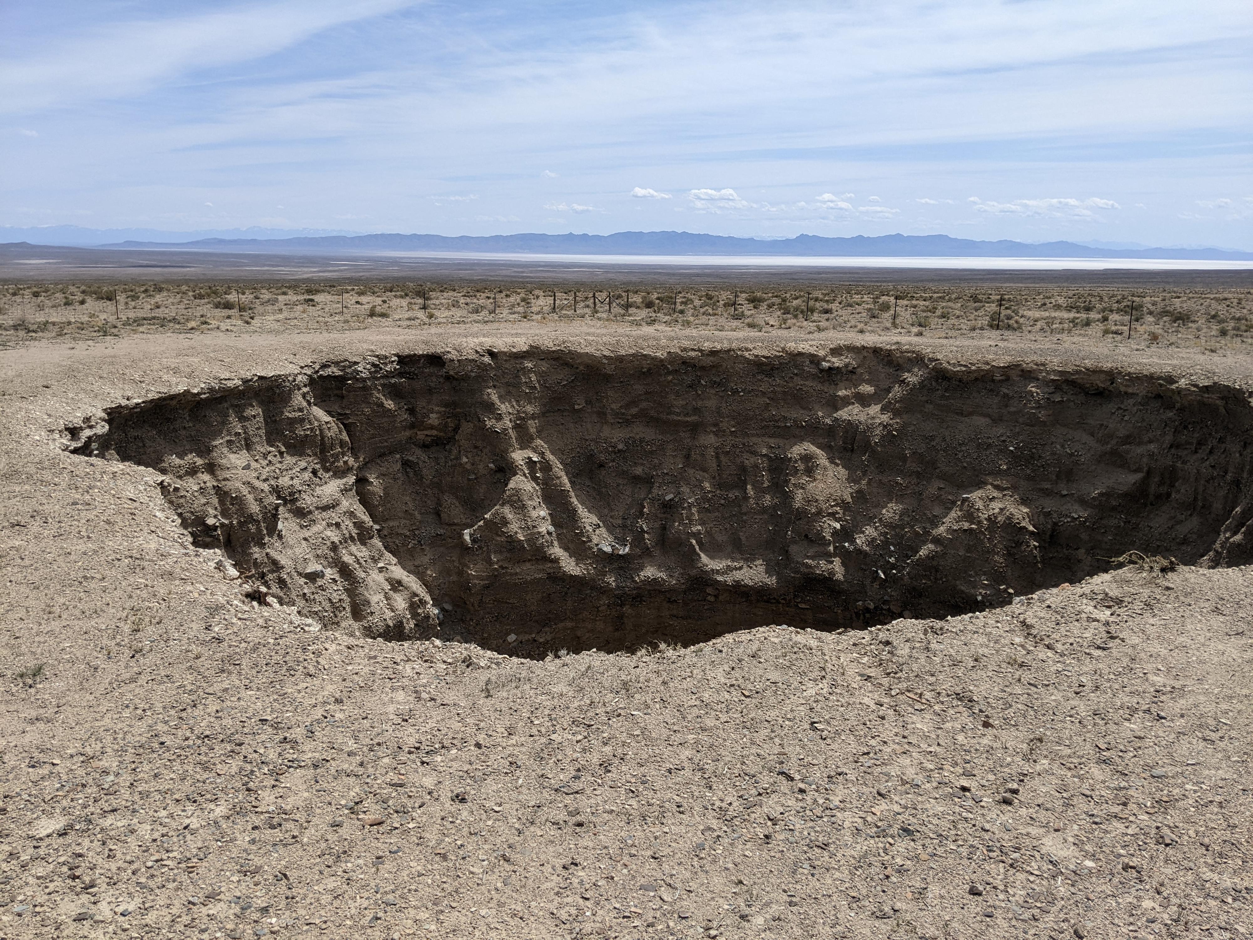
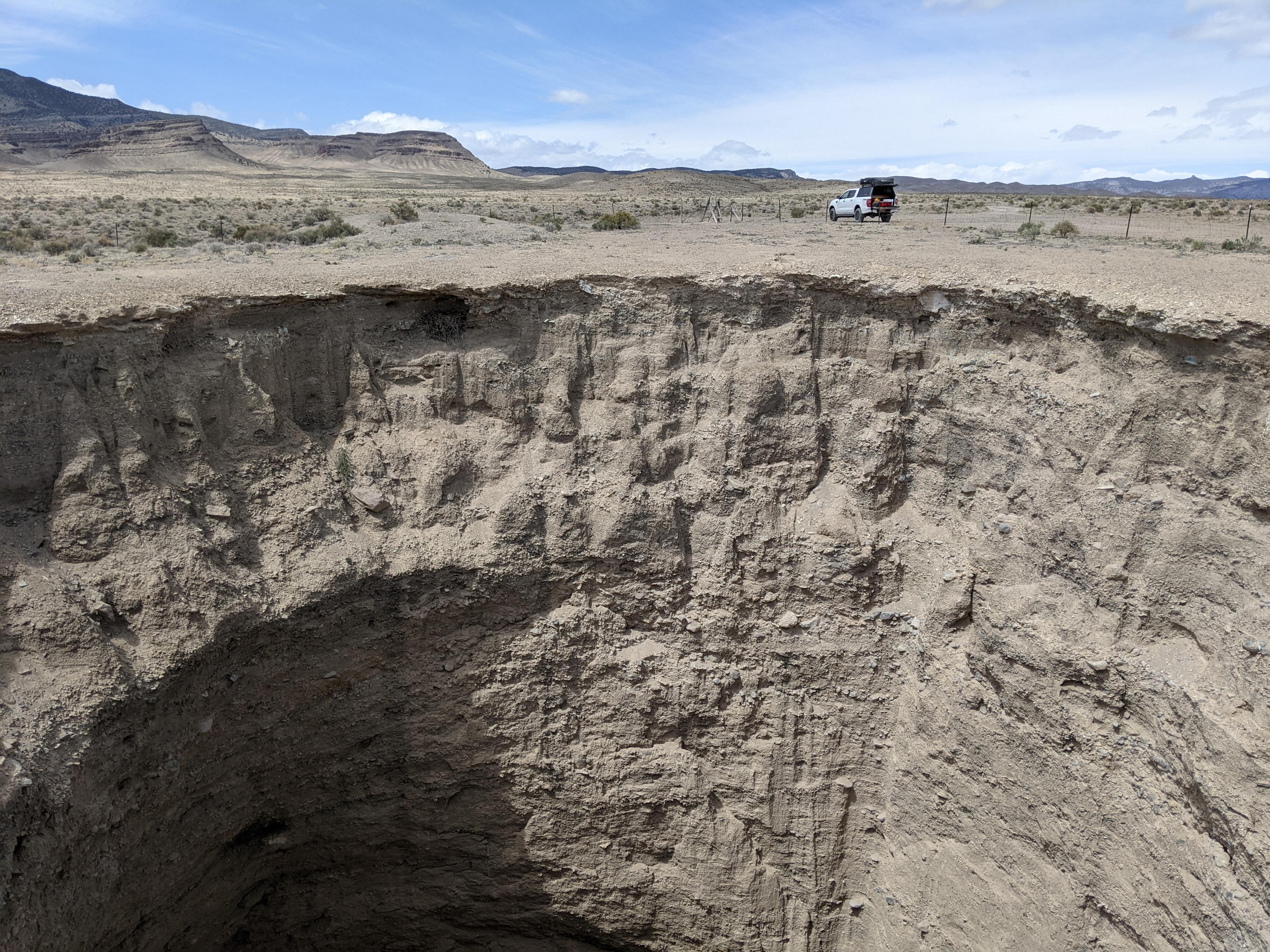
West of the House Range, in unassuming flats, is an enormous sinkhole! The sinkhole, about 25 m in diameter and likely over 25 m deep, is a sight to behold. Legend has it that a local, Joseph Nielson, first noted the sinkhole in 1927. Likely water underground eroded a solution pocket, which caused the sinkhole. The House Range, just to the west, is partially made up of limestone, which is very prone to eroding caves and solution pockets from ground water.
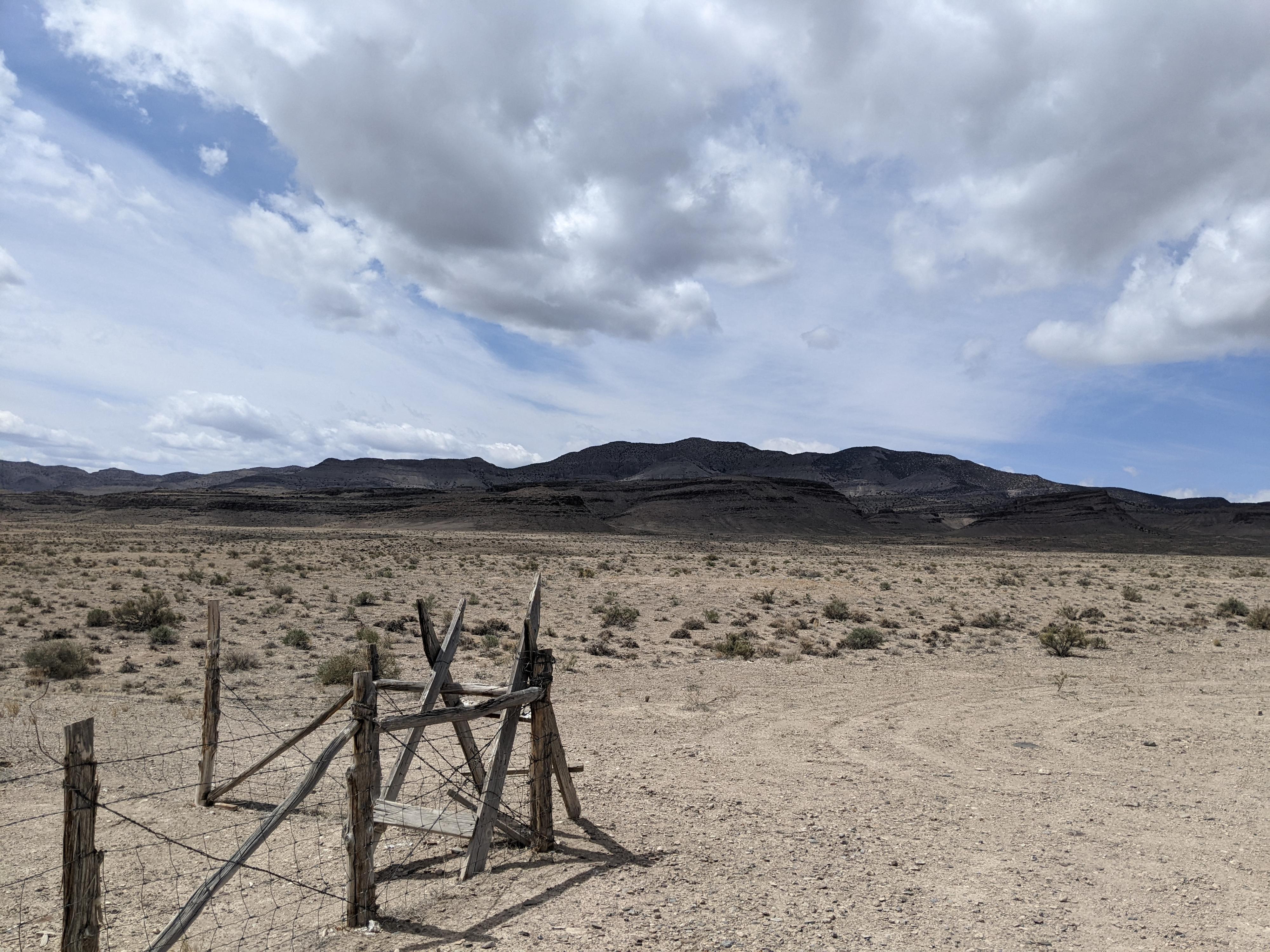
Today, a barbed wire fence surrounds the sinkhole. It is easy enough to climb over the fence for a better look at the sinkhole, but it has very unstable and loose edges. Be sure to stay back from the edge. A fall in would likely be fatal.
Oddly, there appears to be an old wooden ladder at the bottom. I wonder if at some point someone tried to build a ladder to the sinkhole floor? A true oddity of the west desert to visit!
Getting There
From Delta, head west on US-50/US-6 for about 40 miles to just after mile post 48. The side road is on the north side of the road:
Route Description
The road ends at the sinkhole. This makes an excellent spot to have lunch and ponder the large hole in the ground.
Maps

12S 303927E 4341976N
39°12'18"N 113°16'15"W