 Hiking
Lake Louise
Hiking
Lake Louise
Dubois
Overview
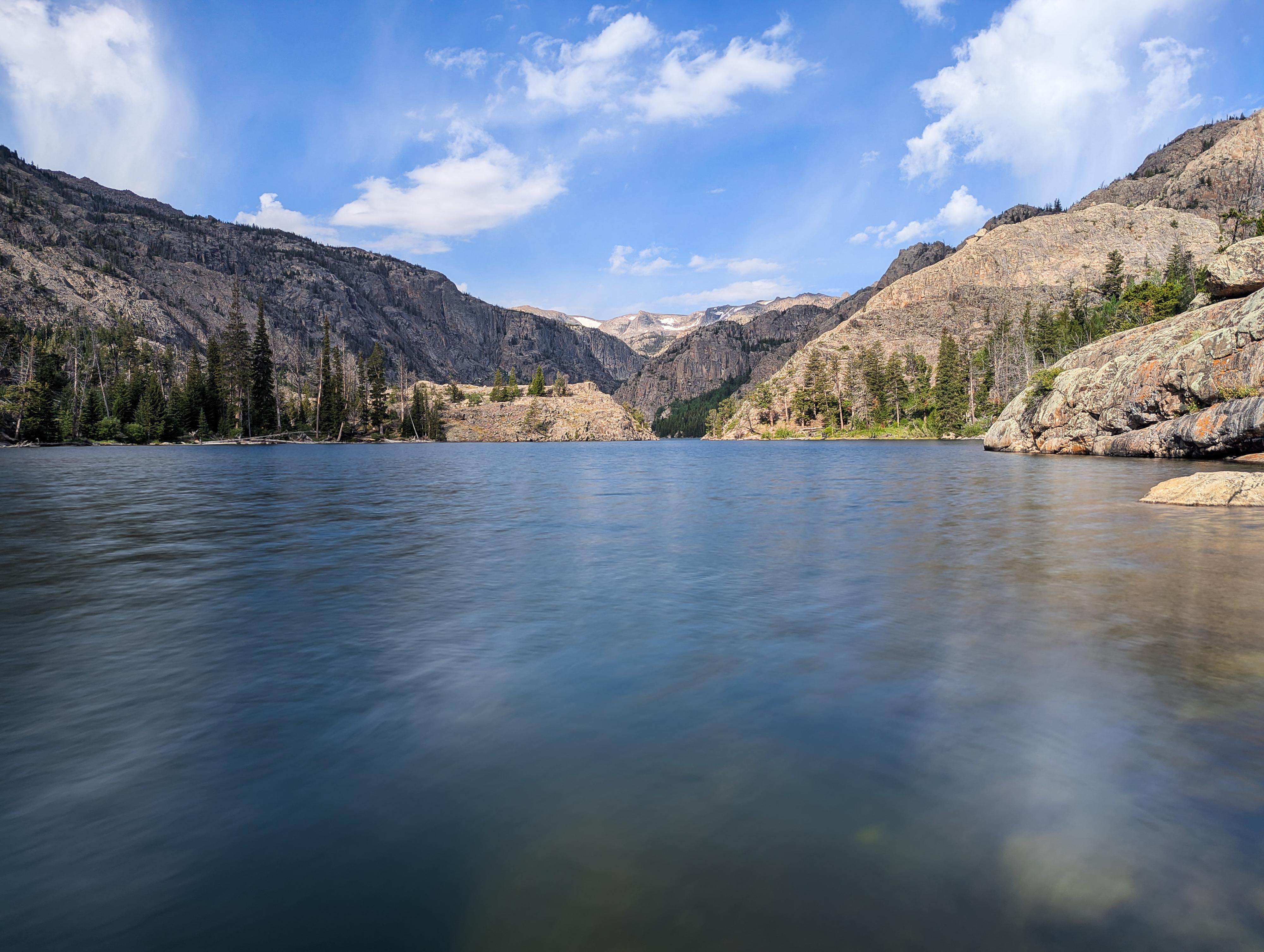
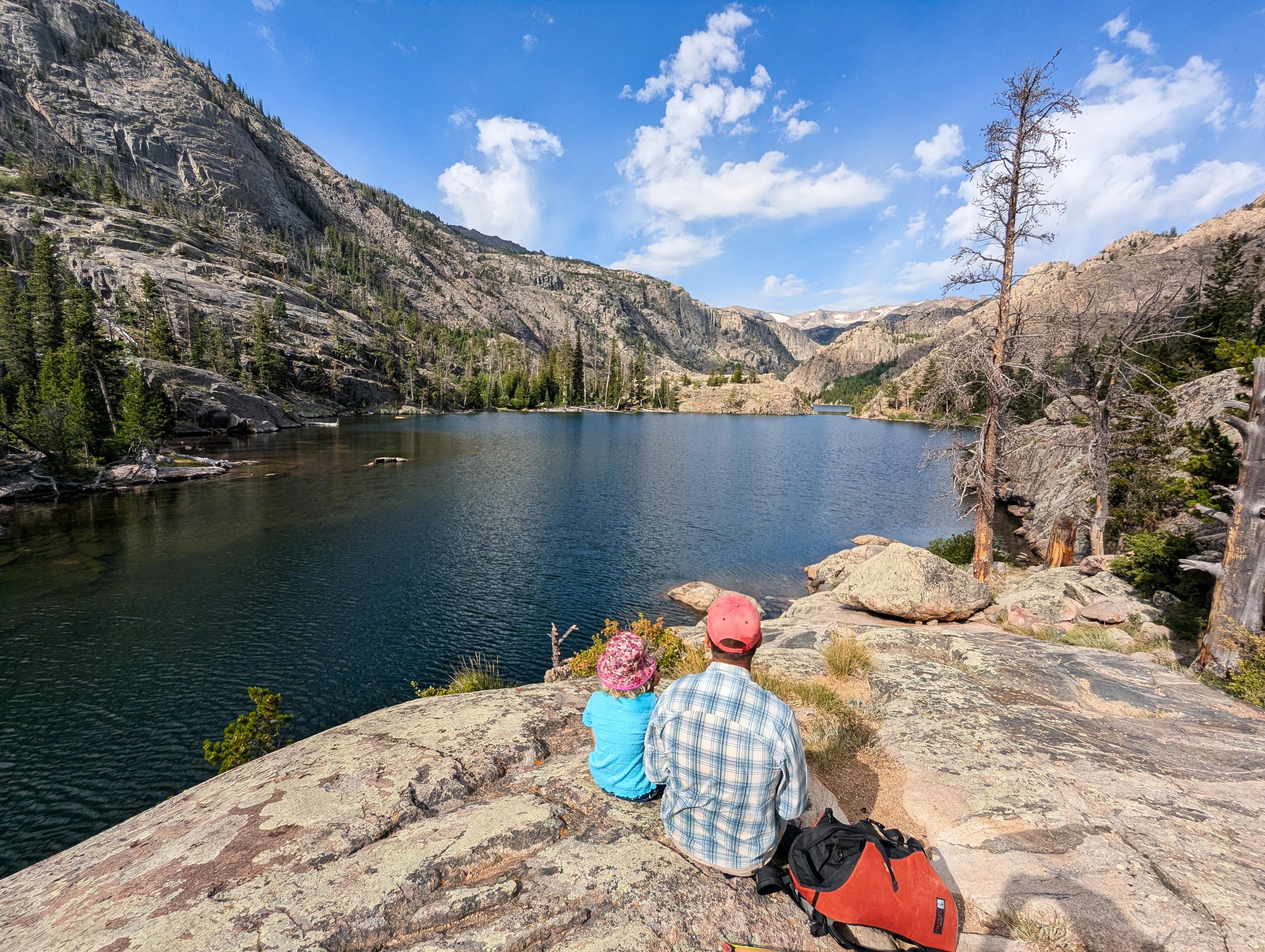
Tucked high in the rugged peaks of Wyoming's Wind River Range, Lake Louise is a remote alpine gem. I have not done a lot of hiking in the Wind River Mountains, but this one seems like an incredible amount of scenery for relatively low effort. Lake Louise holds a special place in my heart, I first hiked to it decades ago while attending the nearby Whisky Mountain Conservation Camp. At the time, the towering rock mountains in the distance and raging creek made an impression on me as one of the most beautiful places I could imagine. When I revisited much later with our 8-year-old, I still found it an amazingly beautiful place, as did my daughter.
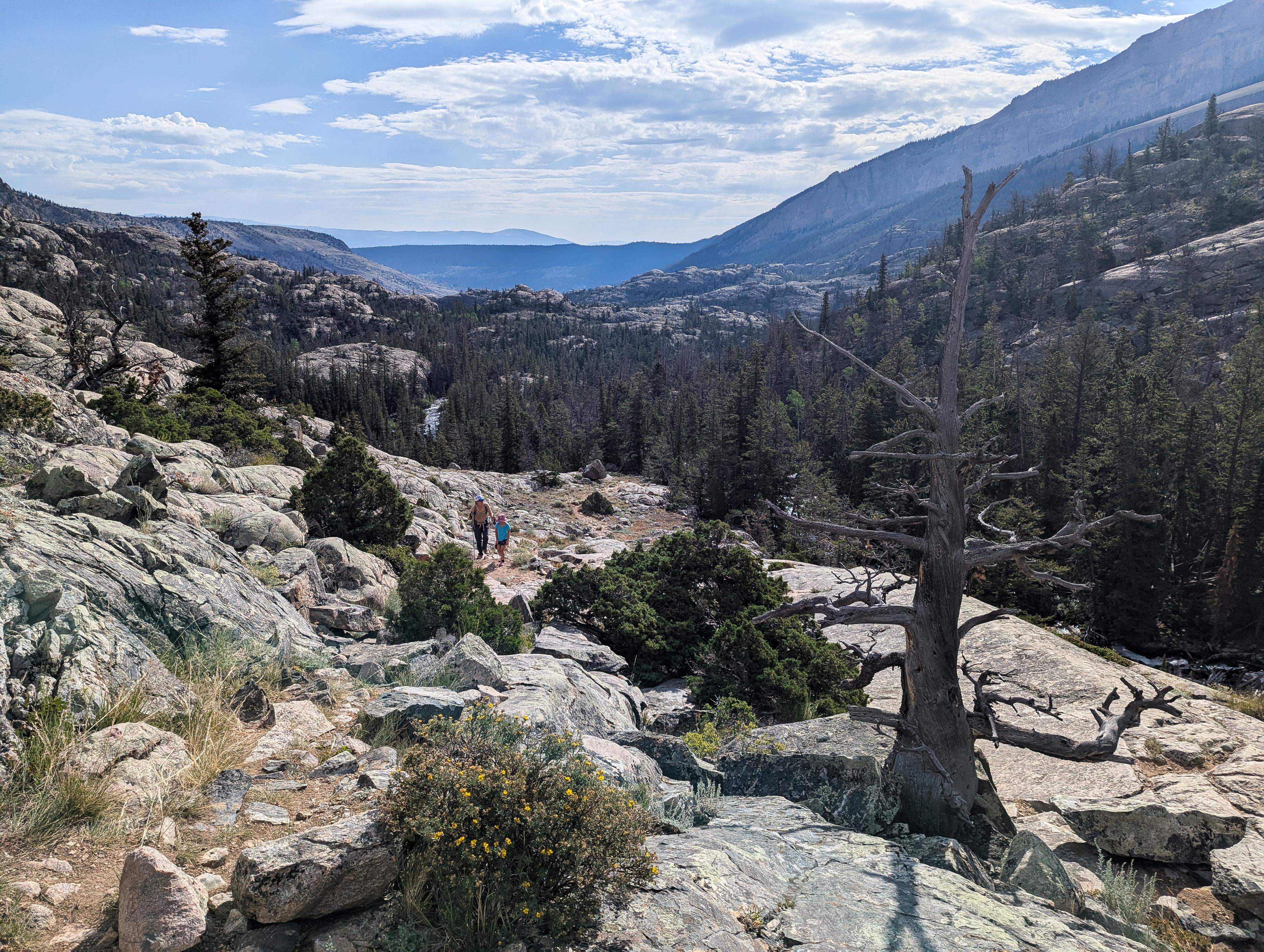
The trail winds through dense forests, across wildflower-strewn meadows, and up to a crystalline mountain basin while the churning Torrey Creek is a companion along the way. I would call this a family-friendly hike, assuming the family is up to the distance. Though it is a fairly popular hike, we had the lake to ourselves on our mid-summer weekday visit.
Getting There
From Dubois, head south out of town on US-26E/US-287S. Follow the highway for about 3.5 miles and turn right onto Trail Lake Road. This road, though dirt, is generally passable by most vehicles.
Follow Trail Lake Road for 9 miles to its end at the trailhead. Along the way, the road passes near Torrey Lake, Ring Lake, and Trail Lake. Whiskey Mountain Conservation Camp is at about 7.6 miles, stay right to continue to the trailhead.
Route Description
From the trailhead, take the trail that begins climbing the hillside on the north with a few switchbacks en route.
About 1/2 mile from the trailhead a junction is reached; go left here. On our visit the junction was unsigned but very obvious. The trail flattens a bit after this junction. About 1/4 of a mile from the first junction (3/4 of a mile from the trailhead) is a second junction. You will go right here to go to Lake Louise.
From here, the trail continues meandering up to Lake Louise. For the most part, the trail is easy to find and follow, but as you near the lake and the trail begins going over longer stretches of rock, it can require keeping a close eye to stay on. There are many paths as you near the lake, but all paths seemed to end up at the lake.
Return the same way.
Photos
Maps

12T 615462E 4809087N
43°25'33"N 109°34'25"W
12T 615073E 4809070N
43°25'32"N 109°34'42"W
12T 614925E 4808813N
43°25'24"N 109°34'49"W
12T 613256E 4807438N
43°24'41"N 109°36'04"W