 Hiking
South Island Trail
Hiking
South Island Trail
Antelope Island
Overview
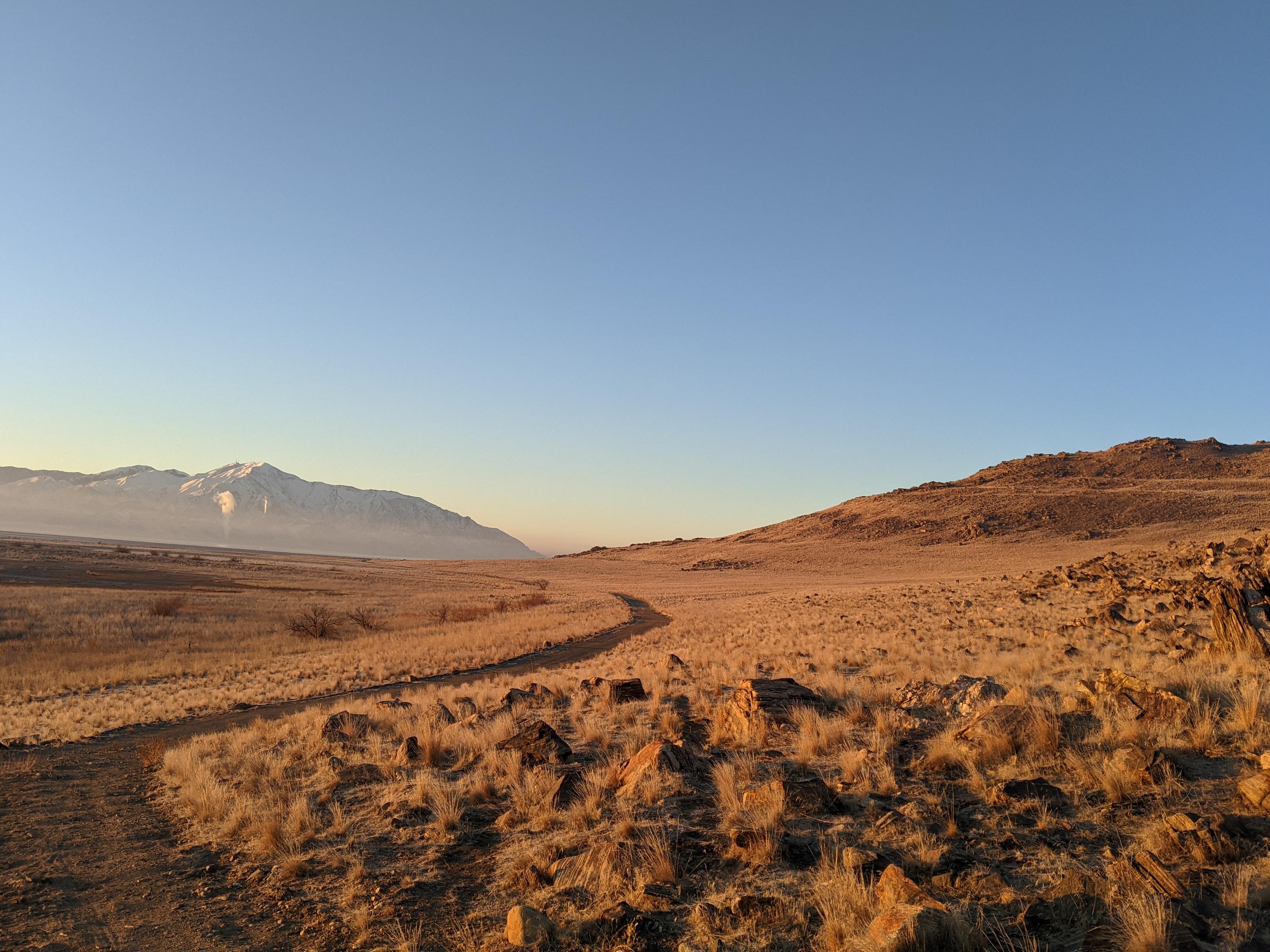
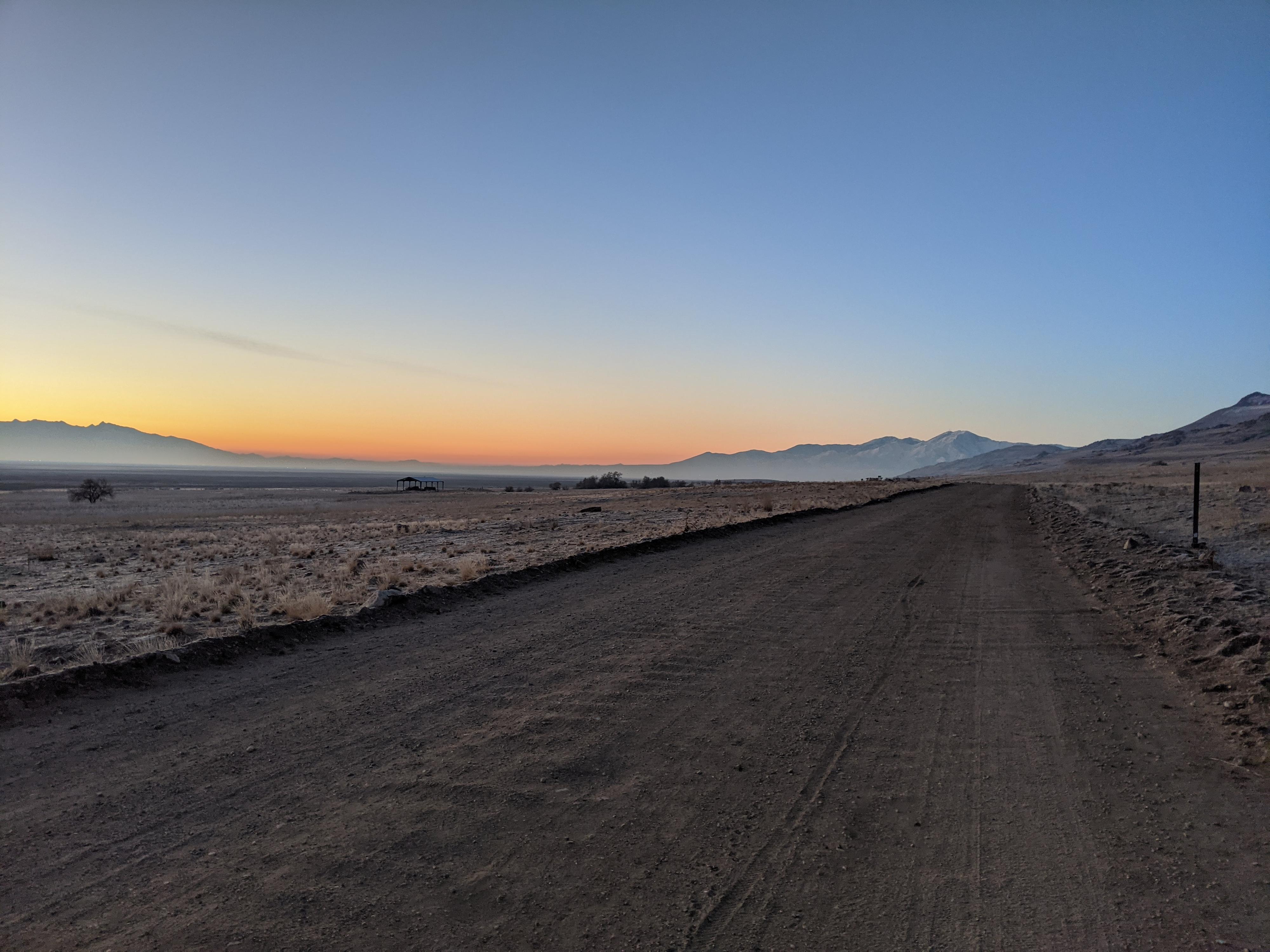
The South Island Trail seems less popular than the trails on the west side of the island, or the Frary Peak Trail, but is one of my favorites. Visiting the trail at sunrise on a cold winter day can be magic! The trail follows a dirt road as it ambles south on the east side of the island to Unicorn Point at the very southern tip of Antelope Island.
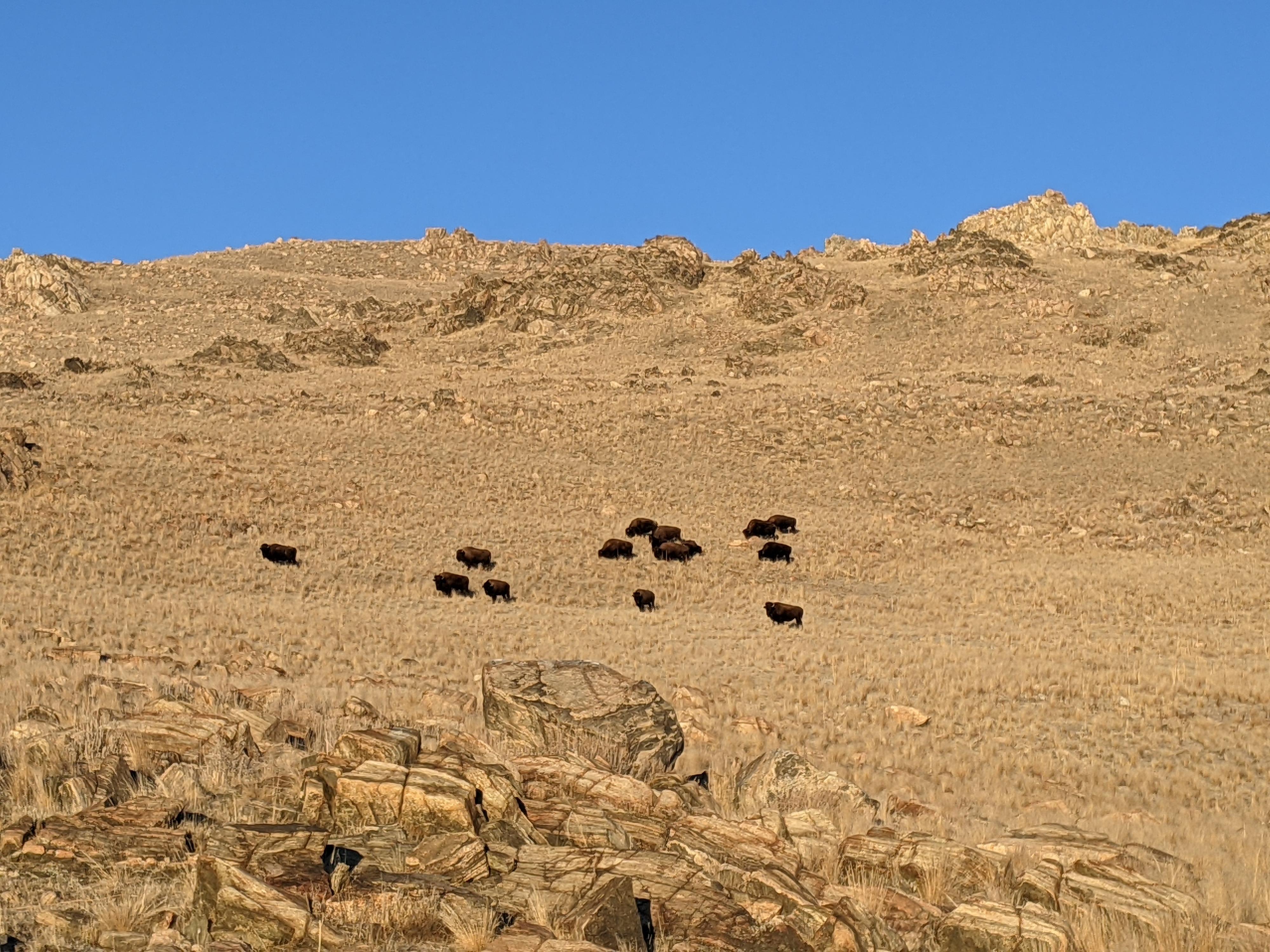
Compared to the other trails I have visited on the island; this one also had the most wildlife. Maybe it was the day, or maybe the animals prefer the quiet east side. I counted 7 coyotes and dozens of buffalo on a cold winter morning along the trail.
Getting There
The trailhead is reach by first getting to Antelope Island. This is off I-15, west of Layton. Take exit 332 off I-15, and head west on Antelope Drive. About 7 miles from the freeway is the entrance to the park.
From the entrance to the park, cross the causeway and go left at the first junction after the causeway. Shortly after take the next left, staying on Antelope Road that is signed for Frary Peak. Follow this road about 12 miles to the end of the road and small parking area for the South Island Trail. The first 10.7 miles are paved, the last part is good, graded dirt road.
Route Description
From the trailhead, follow the dirt road that is closed to all but authorized vehicles south. The has a few gentle ups and downs, but is generally flat. The spine of Antelope Island is to the west while the Wasatch range looms to the east.
Three miles from the summer trailhead (4.6 from the Fielding Garr Ranch Trailhead) is the only junction on the trail. The road splits, with the left road going east onto the mud flats. Stay right here, continuing an additional mile to the end of the road at the southern tip of Antelope Island, Unicorn Point.
The end of the trail has good views south of the Oquirrh Mountains, and of the Stansbury Mountains and Stansbury Island to the west. Return the same way.
Maps

12T 401547E 4531329N
40°55'38"N 112°10'10"W
12T 401236E 4528926N
40°54'20"N 112°10'22"W
12T 401119E 4524245N
40°51'48"N 112°10'24"W