 Climbing
Chimney Rock
Climbing
Chimney Rock
San Rafael Swell
Overview
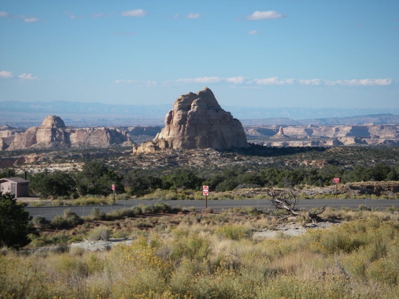
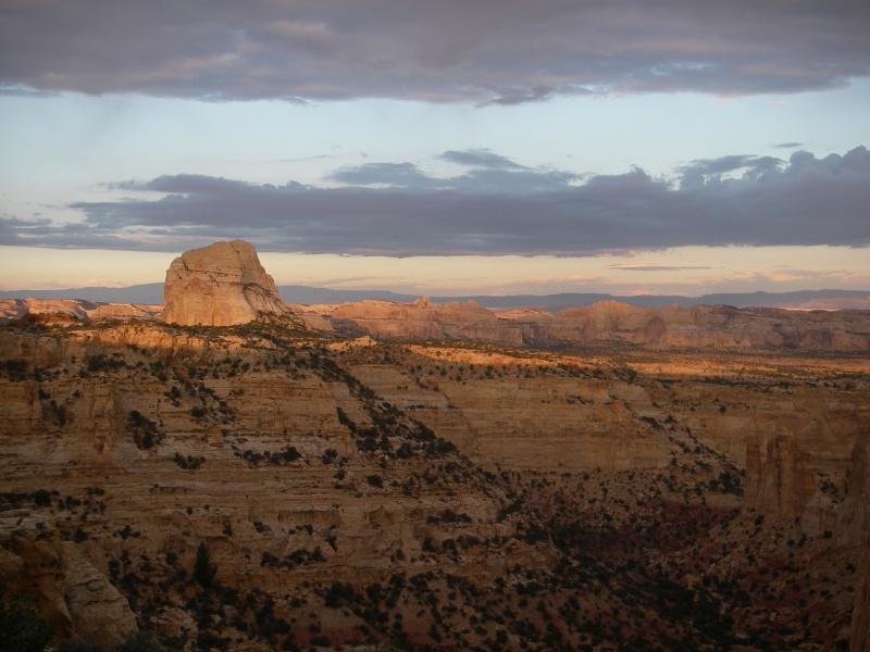
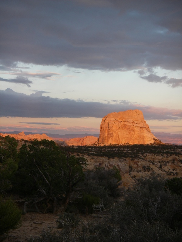
Chimney Rock is just north of I-70, near Dutchman Arch, clearly visible from the Ghost Rock view area. In the book Canyoneering, Steve Allen mentions it as a rock climbers side note, with a 5.3 rating. Intrigued that such an impressive tower could go at such an easy rating, I had wanted to check it out for a long time. I was not disappointed, although I think the rating is likely a little stiffer, maybe 5.6, but still very reasonable and a breathtaking summit.
Getting There
If your goal is simply to climb Chimney Rock, parking at the Ghost Rock view area of off I-70 is likely you best option. This is near mile marker 123, and clearly signed from both directions.
If you want to visit Dutchman Arch and Locomotive Point while in the area, you need to take exit 131 from I-70 (about 30 miles west of Green River).
Route Description
The approach from Dutchman Arch takes about an hour, from Ghost Rock View Area is likely about the same.
From Dutchman Arch, walk or drive another 0.5 miles west to where an old road branches off on the left. The road is closed to motorized travel, but as off 2007, was easy to find and follow. Follow this road for about 0.3 miles (5-10 minutes) until a fork. Go right. This fork could be easy to miss if you aren't watching, so pay attention. Follow this old road about 20 minutes to the base of Chimney Rock. Chimney Rock will be visible through most of the approach.
Getting Up:
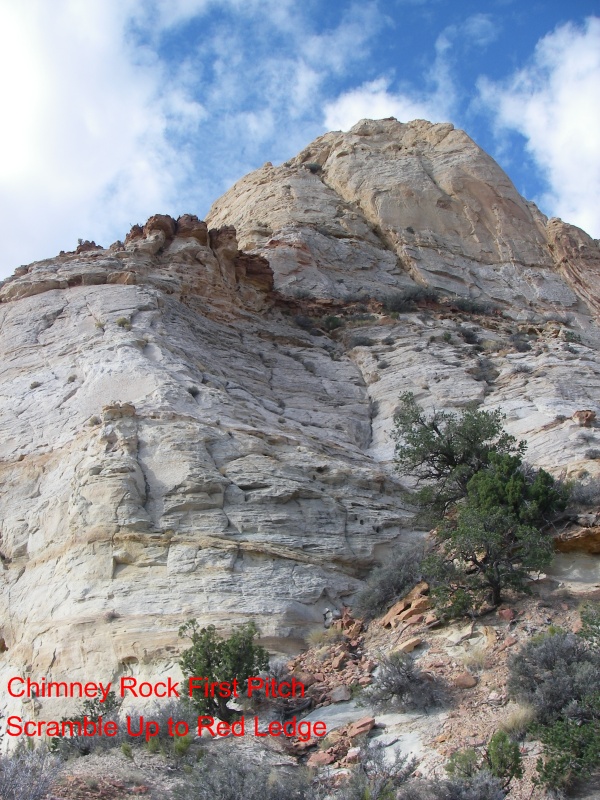
The climb starts on the north side of the formation. (Side opposite the freeway.) The first section is class 4 up to a ledge. There are many options, so find the one that looks best. You will need to downclimb this as well, so keep that in mind.
Once on the ledge, head east around the tower on the narrow red ledge. It is easy walking with a fair amount of exposure in a couple of places.
Once on the east side, you will see an obvious notch. The crux is climbing from the notch up to the small bush. It is a bit sandy and insecure, with the only protection possible being a pocket you could sling near the top. (5 m ( 17 ft. )/ 5.6 R). Once at the bush, it eases up a bit, and is a short distance to the summit. Remember this will need to be downclimbed as well, so stay within your comfort zone.
Getting Down:
Downclimb the same route you came up. The crux can be somewhat spotted, but is tricky. Belay everyone down, and send your best climber last.

Maps

12S 517862E 4303136N
38°52'37"N 110°47'39"W
12S 516238E 4303847N
38°53'00"N 110°48'46"W