 Hiking
Fish Lake Hightop
Hiking
Fish Lake Hightop
Sevier County Highpoint
Overview
Thu

66°
|
48°
Fri
70°
|
50°
Sat
73°
|
52°
Sun
73°
|
55°
Mon
71°
|
55°
RATING:
Easy Hiking.
LENGTH:
3-4 hours (7.5 miles)
MAPS:
Burrville, UT; Fish Lake, UT;
SEASON:
Spring, Summer, Fall
GEAR:
Standard Hiking Gear
WATER:
None.
Thu
66°
|
48°
Fri
70°
|
50°
Sat
73°
|
52°
Sun
73°
|
55°
Mon
71°
|
55°
The Sevier county highpoint is Fish Lake Hightop. The high point is just north of the popular, and aptly named, Fish Lake. The most commonly hiked route to the summit is via Pelican Canyon, from near the lake. The Pelican Canyon route is about 8.5 miles and 2500' of gain to reach the summit. A much shorter approach is via Hancock Flat, and is the route described here. Using this route shortens the hike to about 7 or 7.5 miles and an easier 1100' of gain. Those with ATV's or jeep skills can drive to less than a mile and a couple of hundred feet of the summit.
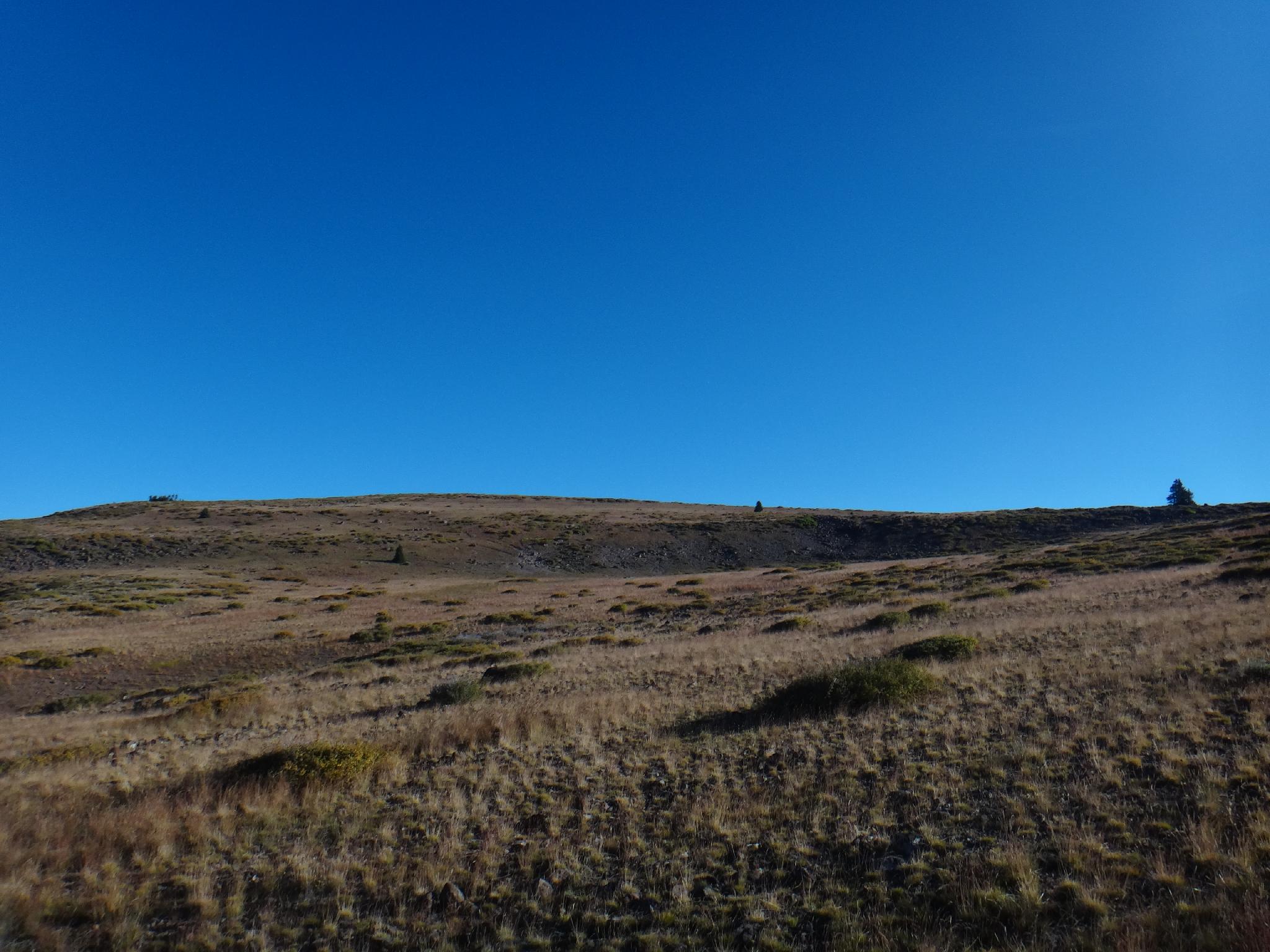
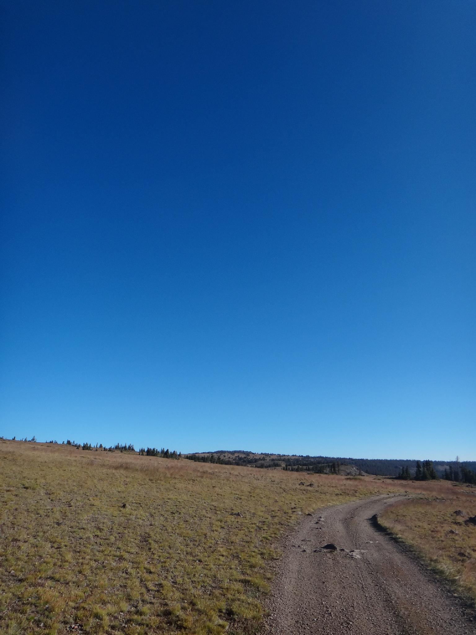
Fish Lake Hightop is similar to the Aquarius Plateau to the south. Once on top, it is a gently rolling, remarkably flat plain at 11,000'. The area is stunning in the fall when the leaves begin to change, but a good hike from spring through fall. The road to the trailhead should be accessible by most all vehicles. Even though most of the hike is on a 4x4 road, it is infrequently traveled and still offers a great day out.
Fish Lake Hightop is similar to the Aquarius Plateau to the south. Once on top, it is a gently rolling, remarkably flat plain at 11,000'. The area is stunning in the fall when the leaves begin to change, but a good hike from spring through fall. The road to the trailhead should be accessible by most all vehicles. Even though most of the hike is on a 4x4 road, it is infrequently traveled and still offers a great day out.
Getting There
Reaching the trailhead first involves getting to the turn-off to Fish Lake off of highway 24. This is about 29 miles south of Sigurd, UT or 13 miles north of Loa, UT on highway 24. This is mile marker 39 on highway 24.
- Turn east on highway 25 toward Fish Lake, reset your odometer as you leave highway 24.
- At 4.2 miles, near the radio tower, turn left (north) onto road 057, toward Hancock Flat and reset your odometer.
- 1.1 miles, stay right toward Hancock Flat
- 6.4 miles, turn right onto road 329, signed Fish Lake Hightop
- 8.7 miles, turn left onto the signed road to Fish Lake Hightop. Most vehicles should be able to make it to this junction. Past this junction, the road deteriorates into a very steep and rocky jeep road. This can be driven or accessed with ATV's, but this is considered the trailhead for most. (also signed Gahew Spring)
Route Description
Summit: 3546 m ( 11634 ft. )
Trailhead: 3206 m ( 10519 ft. )
Charge up hill! It is a steep and rocky road. As it reaches the hightop, a travel restriction sign and pull out are on the right. Continue on the main jeep road. The true highpoint comes into view to the north. Following the jeep trail, the Pelican Canyon joins in from the right at a trail marker. Again, simply stay on the jeep road as it meanders across the hightop, descends a small saddle and climbs again.
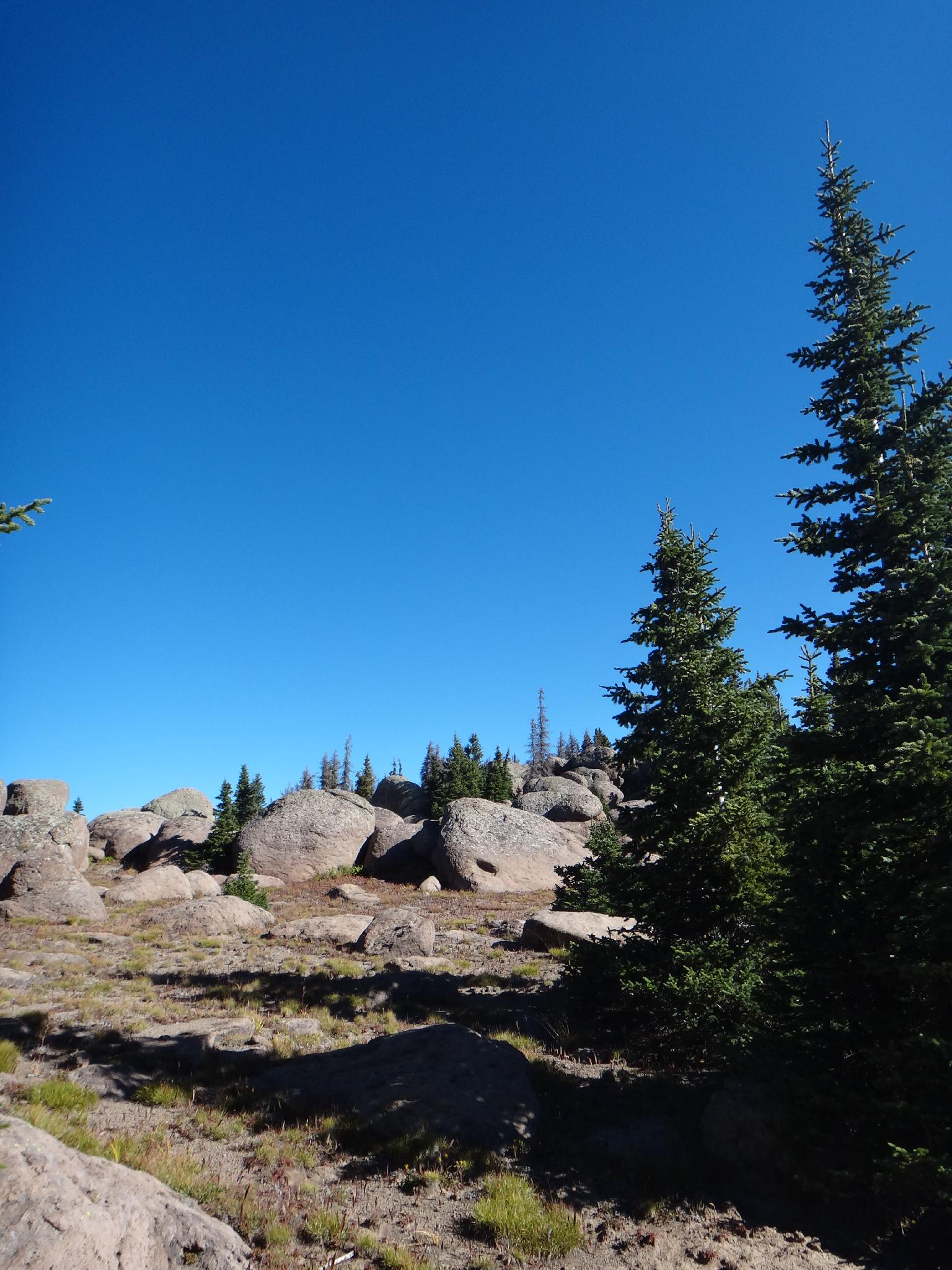
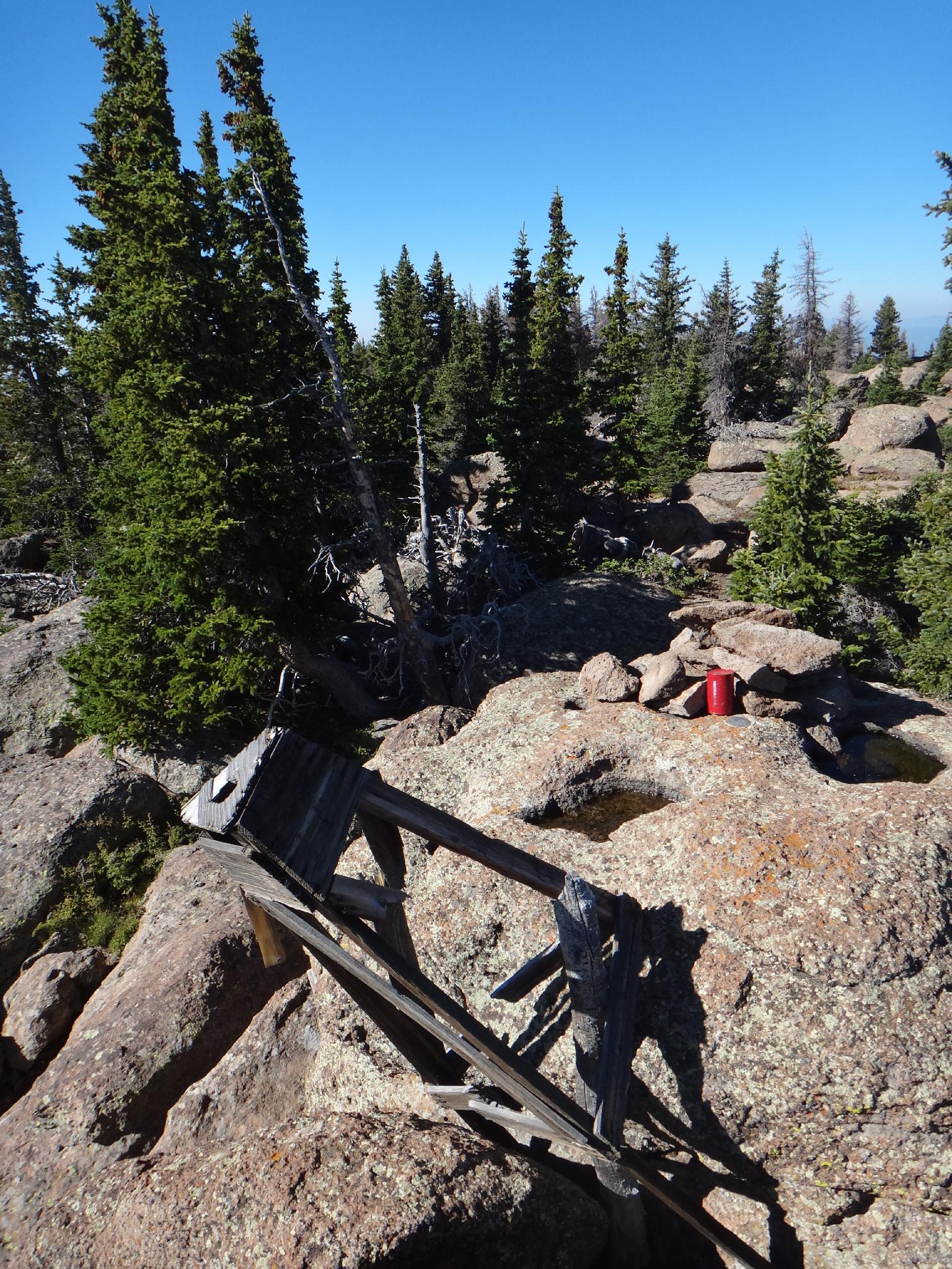
When the true high point is easily visible to the north, head cross country to the south ridge. Follow the south ridge to the true summit. Many large boulders provide obstacles, but are easy to weave in and out of. The summit is on top of a large boulder with a register and old wooden tower remain.
Return the same way.
Trailhead: 3206 m ( 10519 ft. )
Charge up hill! It is a steep and rocky road. As it reaches the hightop, a travel restriction sign and pull out are on the right. Continue on the main jeep road. The true highpoint comes into view to the north. Following the jeep trail, the Pelican Canyon joins in from the right at a trail marker. Again, simply stay on the jeep road as it meanders across the hightop, descends a small saddle and climbs again.
When the true high point is easily visible to the north, head cross country to the south ridge. Follow the south ridge to the true summit. Many large boulders provide obstacles, but are easy to weave in and out of. The summit is on top of a large boulder with a register and old wooden tower remain.
Return the same way.
Maps
Route /
7.45
miles /
Elevation Range 10,510
- 11,621
ft.
Printable Maps:


Trailhead
12S 433890E 4269611N
38°34'21"N 111°45'32"W
Summit
12S 435624E 4273554N
38°36'29"N 111°44'22"W