 Hiking
Killyon Canyon
Hiking
Killyon Canyon
Emigration Canyon
Overview
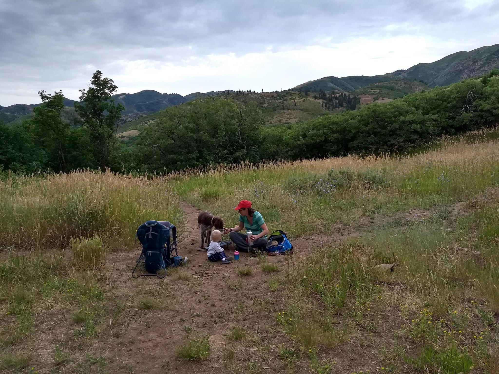
Purchased by Salt Lake County in 2010, Killyon Canyon is now an open space preserve for all to enjoy. The canyon, tucked up near the top of Emigration Canyon, is particularly popular with dog owners, as it is one of the trails along the Wasatch Front dogs are allowed the hike.
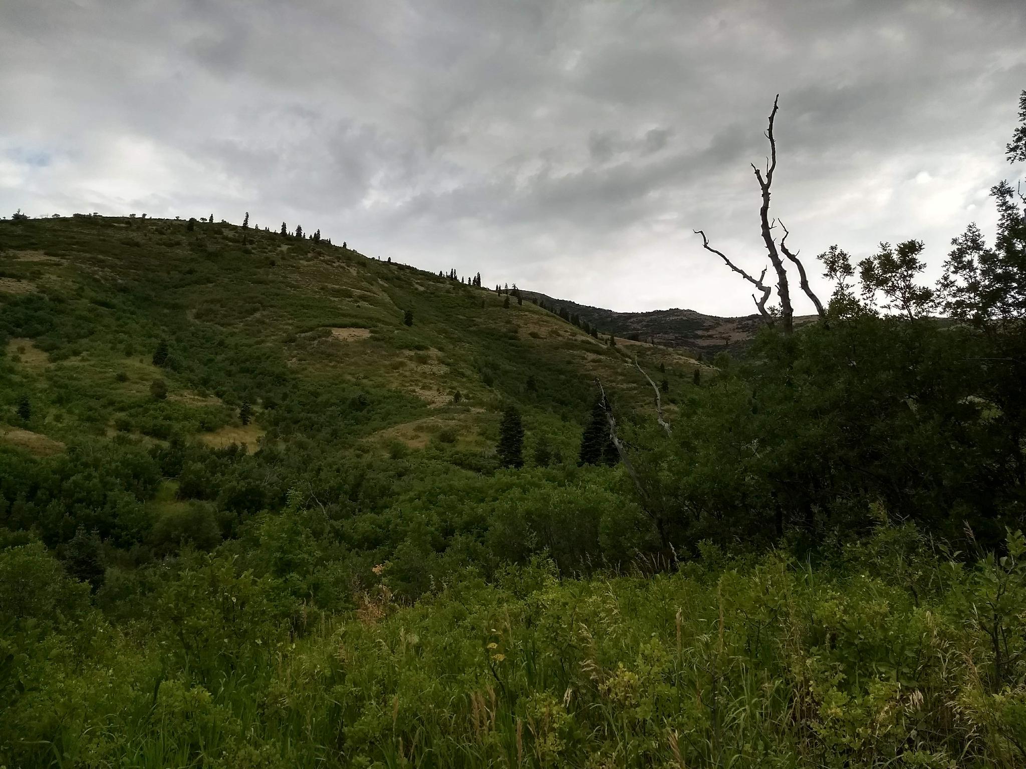
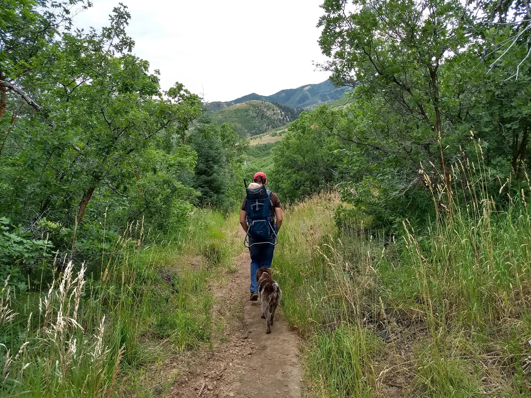
The trail begins at about 6000 feet of elevation and meanders alongside a perennial stream to the ridgeline at almost 7000 feet. En route, the hike passes through nine distinct forest plant communities and passes several old growth conifers. The thick riparian growth and tree cover make this a tolerable hike during warmer seasons.
Getting There
The trailhead is up Emigration Canyon on the east side of Salt Lake. From downtown Salt Lake, travel east on 800 S. This becomes Sunnyside Avenue. Follow Sunnyside Avenue which turns into Emigration Canyon Road at the mouth of Emigration Canyon.
From the mouth of Emigration Canyon, continue up the canyon for 6 miles. When the canyon makes a sweeping bend to the right, stay straight on Pinecrest Canyon Road. 0.3 miles after turning onto Pinecrest Canyon Road, a small parking area on the right is the trailhead. This is currently signed Killyon Trailhead Parking. If you reach a juction in the road, you have gone 0.1 miles too far.
Route Description
From the parking area, follow the road up the canyon. In just a couple of minutes, at the junction, go right on Killyon Road. It turns to dirt after a few minutes as it winds its way through a neighborhood. About 0.5 miles from the parking area, the road ends, and the trail begins.
About 0.6 miles from the end of the road, a signed junction is reached. Left goes to the Left Fork of Killyon. Stay right at the junction, on the marked path toward the ridge.
From the Left Fork junction, the trail begins climbing a bit more steeply, then turns east and rises steeply through aspen to a 4-way intersection on the ridge. Unfortunately, the ridge is quite densely vegetated, so the views aren't great. Return the same way.
Maps

12T 439827E 4515753N
40°47'26"N 111°42'48"W
12T 440088E 4516565N
40°47'52"N 111°42'37"W
12T 440685E 4517311N
40°48'17"N 111°42'12"W
12T 441720E 4518018N
40°48'40"N 111°41'28"W