 Hiking
Pine Creek
Hiking
Pine Creek
Boulder Mountain
Overview
Torrey is known by most as the gateway to Capitol Reef National Park and the surrounding desert. Boulder Mountain, just south of Torrey, is an often overlooked destination with high mountain terrain and cooler temperatures that is one of my favorite places to wander in the summer when the lowlands become scorching hot.
Pine Creek, on the northwest side of Boulder Mountain, is a serene mountain sanctuary from high summer temps at lower elevations. The trailhead is less than 30 minutes from Torrey, with excellent primitive camping in the area.
This is an excellent family and dog-friendly hike. The hike meanders through the high mountain forest before passing a small lake and reaching Pine Creek Reservoir.
Bring a pole. The lake is popular with fisherman.
Getting There
Access is from Bicknell, Ut, on the north side of the Aquarius:
Go east out of Bicknell on highway 24. 2.5 miles from town, turn right on Bicknell Cr, this is just across from the Great Western Trailhead on the left.
Route Description
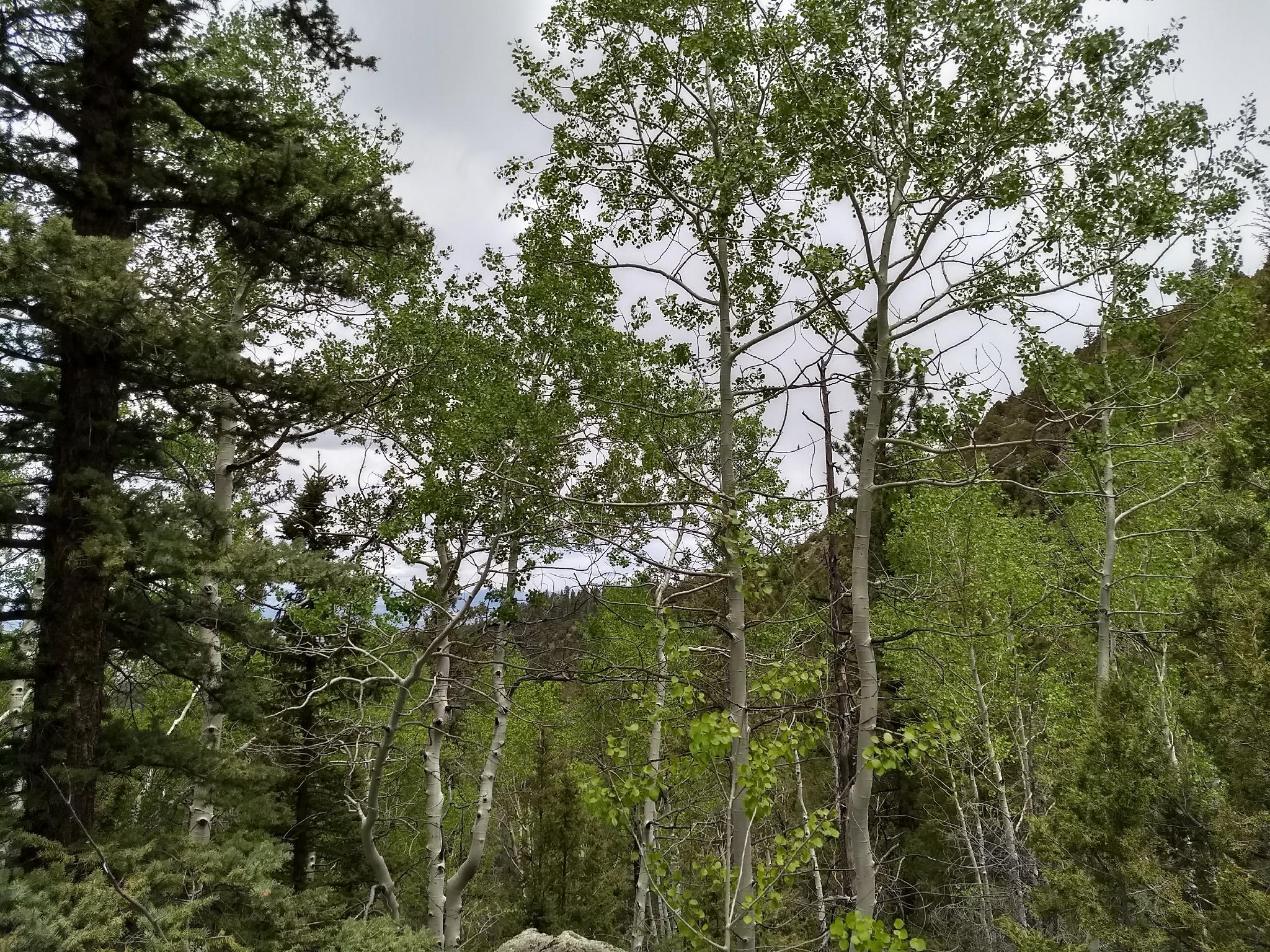
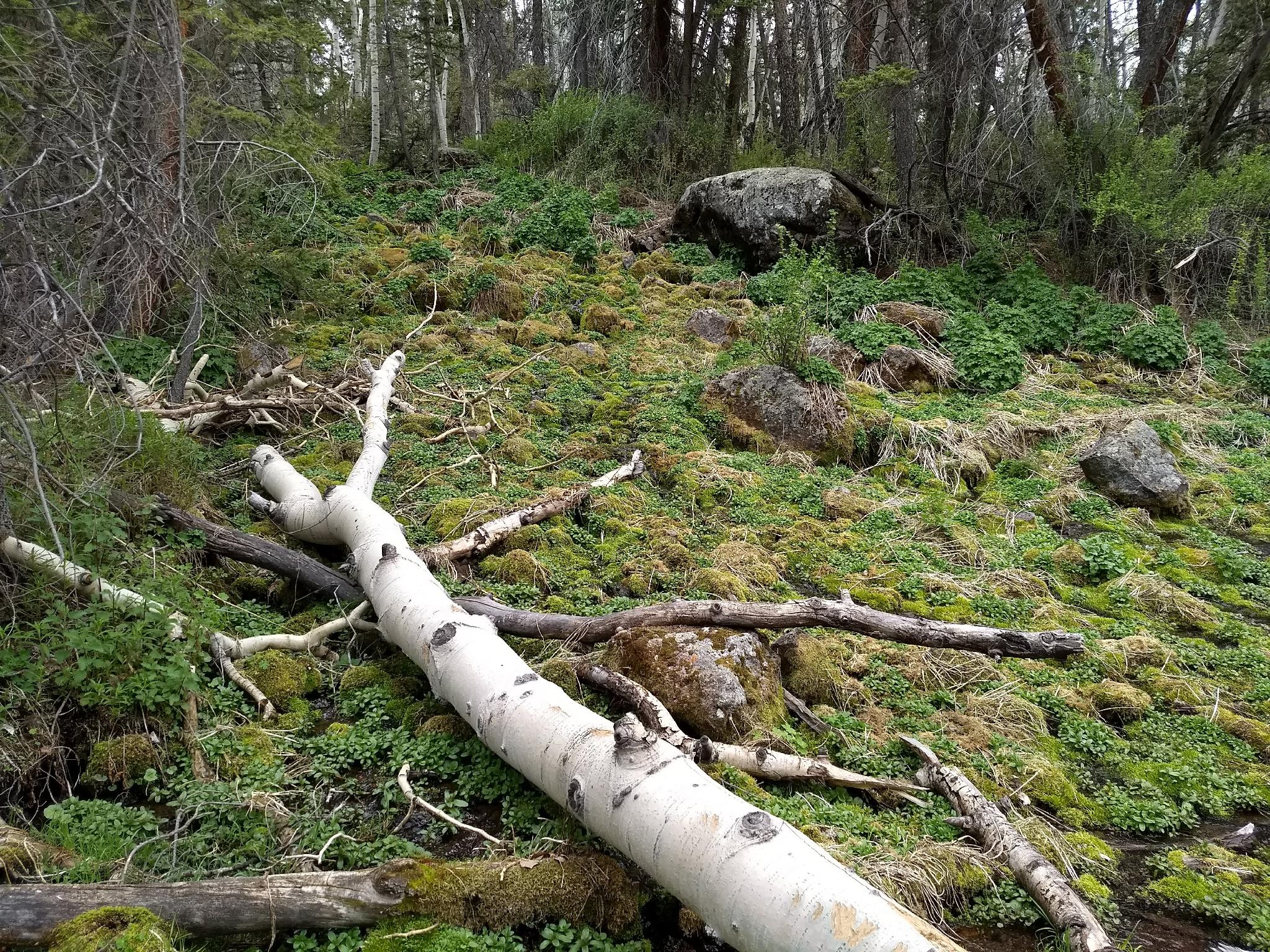
From the trailhead, follow the trail as it parallels Pine Creek. The path is easy to follow, but not overly well traveled. You may have to climb over a few downed logs!
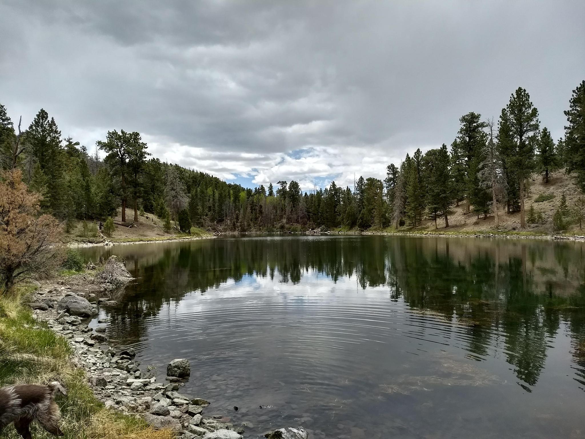
The trail ascends the rocky slope for about 0.5 miles to a first, small, unnamed lake. On the south side of the pond, a picturesque cascade feeds the lake from Pine Creek reservoir above.
Another 0.25 miles beyond this first small pond is Pine Creek Reservoir.
Return the same way.
Maps

12S 450059E 4229180N
38°12'33"N 111°34'14"W
12S 450285E 4228961N
38°12'26"N 111°34'04"W
12S 450288E 4228368N
38°12'07"N 111°34'04"W