Roadside Attraction Hunt Ranch
Southern Swell
Overview
Sat 95 | 67 |
Sun 96 | 67 |
Mon 95 | 69 |
Tue 96 | 67 |
Wed 95 | 67 |
View Full Weather Details |
Sat 95 | 67 |
Sun 96 | 67 |
Mon 95 | 69 |
Tue 96 | 67 |
Wed 95 | 67 |
View Full Weather Details |
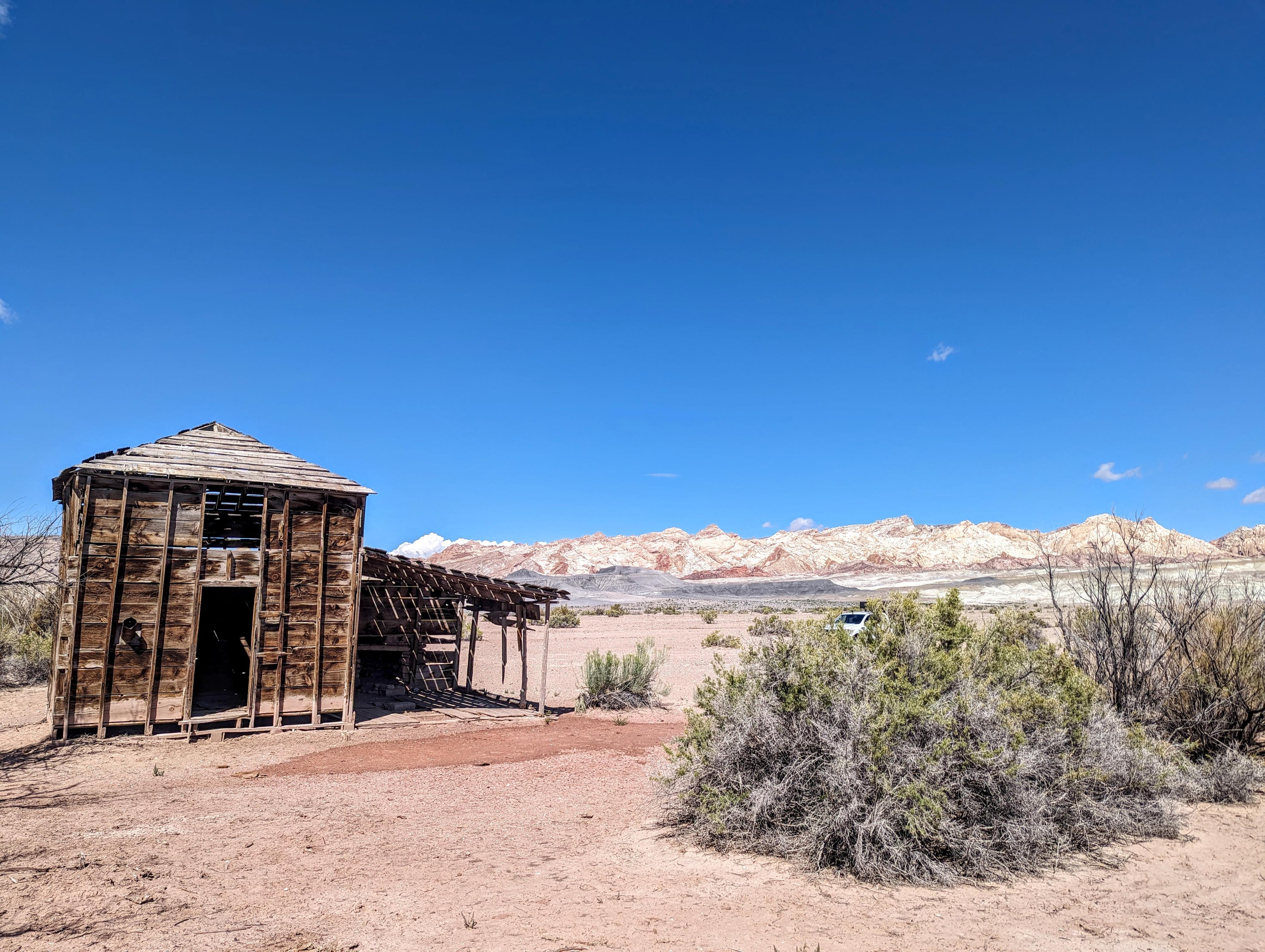
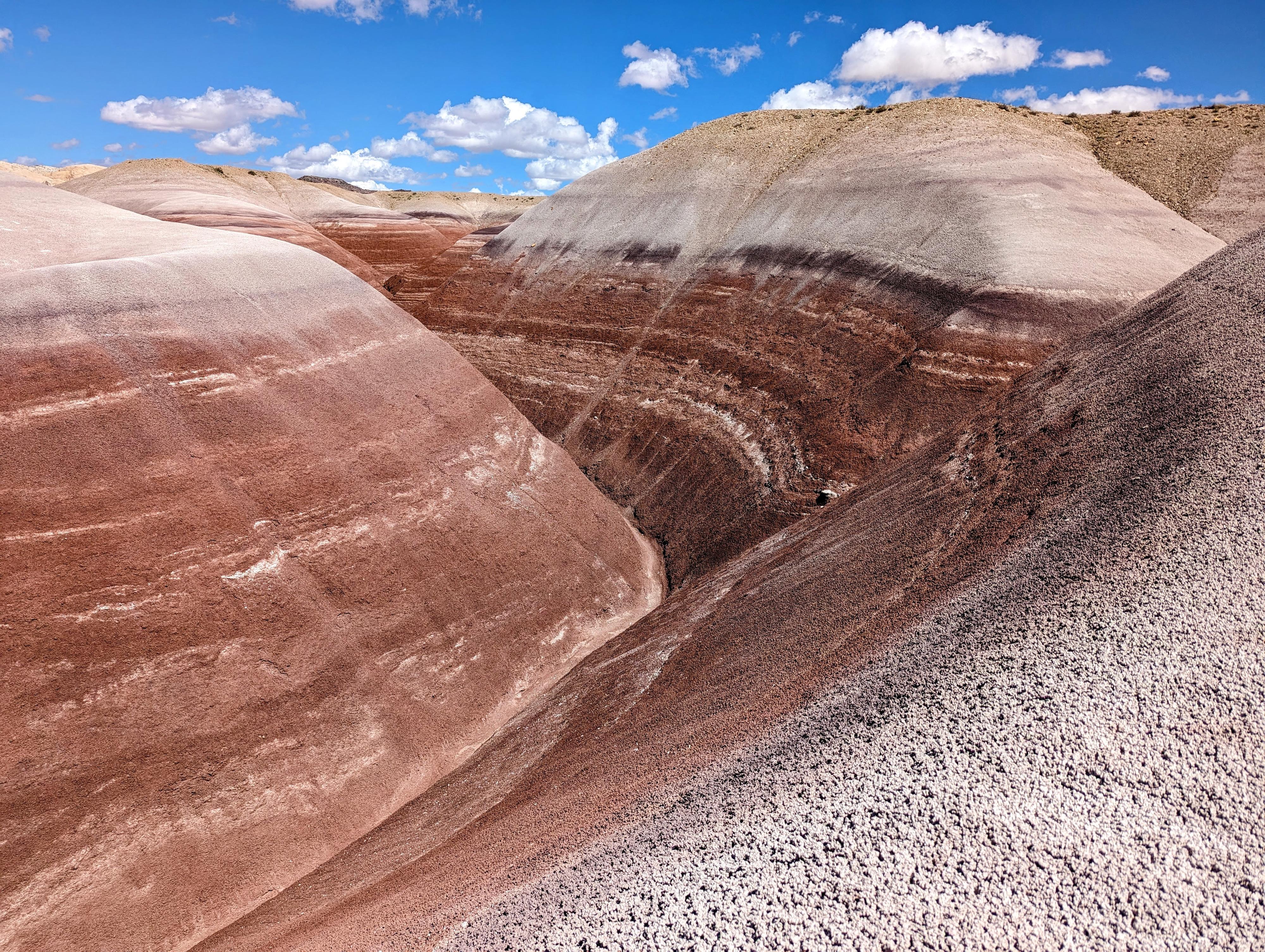
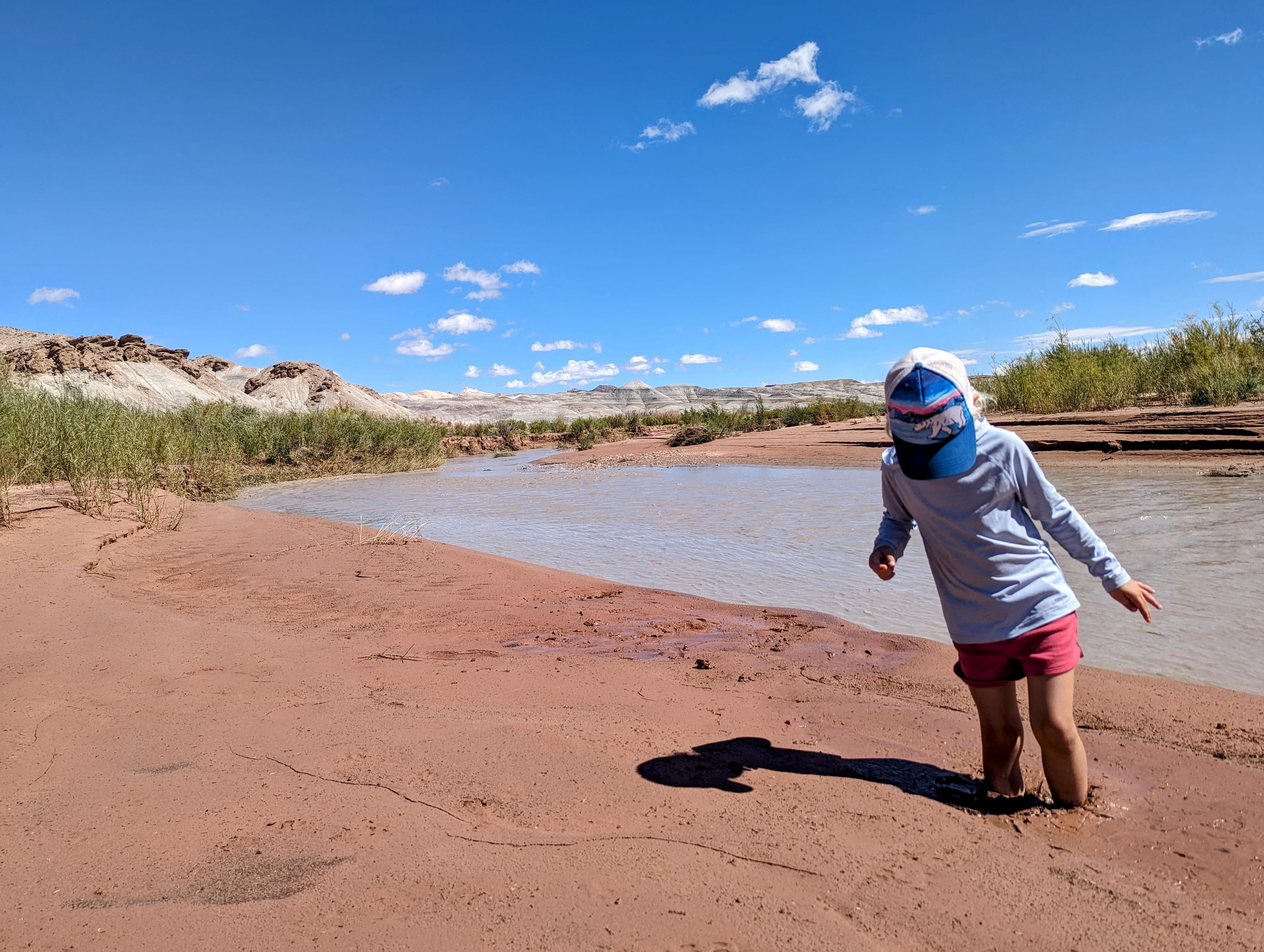
Hunt Ranch is one of the most isolated and desolate ranches I have seen in the desert. The ranch is located in a moonscape along the Muddy Creek at the southern edge of the San Rafael Swell. Visiting it is a fascinating look back into the history and harshness of the area. The ranch is interesting, but I found the drive out across the colorful moonscape and views of the Southern San Rafael Reef to be a highlight of a visit to the old ranch.
Charley tended to the ranch for 12 years, building the two-story house that remains as well as other structures including a cabin and chicken coop. He raised cows, chickens, sheep, and grew hay and corn.
After 10 or so years, Charley gave up on the ranch and his sons Floyd and Rulon took it over. They ran the place briefly before Floyd's wife refused to stay. The ranch was used by a couple of others after the Hunts for grazing, but no one lived there again.
Getting There
Reach the trailhead by going west from Green River Utah on I-70 to the junction with highway 24 that goes to Hanksville. Go toward Hanksville for about 25 miles to Mile Post 135.
- A signed road goes off to the west signed Goblin Valley. ( 12S 537737E 4275878N / 38°37'50"N 110°33'59"W )
- Follow this paved road 5.1 miles to a junction. Go south (left) on the signed road toward Goblin Valley, resetting your odometer. ( 12S 530077E 4278354N / 38°39'12"N 110°39'16"W )
- Just before Goblin Valley, 6.0 miles, another junction occurs. Go right here, resetting your odometer once again. ( 12S 525266E 4270703N / 38°35'04"N 110°42'36"W )
- Follow the road 5.3 miles to the signed Little Wild Horse trailhead, it is now paved all the way to the trailhead. Reset your odometer here. ( 12S 517180E 4270494N / 38°34'58"N 110°48'10"W )
- From the Little Wild Horse Trailhead
- Continue past the Little Wild Horse trailhead for 1.2 miles on the now dirt road to where the road makes a left. The Ding/Dang Canyon trailhead on the right. The main dirt road now curves and follows the wash bottom south. ( 12S 515466E 4269810N / 38°34'36"N 110°49'21"W )
- 3.8 miles - The road leaves the wash and begins climbing. This section, particularly near the very top, was the worse section of road on my visit. ( 12S 515145E 4266652N / 38°32'53"N 110°49'34"W )
- 7.9 miles - Amazingly colorful washes on both sides of the road through this section. ( 12S 511325E 4265932N / 38°32'30"N 110°52'12"W )
- 9.5 miles - Side road on the left that goes to the old homestead a short distance away. If this road is in bad shape, another side road leaves in a few hundred feet that also goes to the homestead. ( 12S 509884E 4264878N / 38°31'56"N 110°53'12"W )
- To Muddy Creek Crossing
- Continue on the main dirt road past the homestead to reach The Muddy Creek crossing in about 1.3 miles. Be very cautious about trying to cross in a vehicle, it can be very deep mud! ( 12S 508264E 4264786N / 38°31'53"N 110°54'19"W )
Route
Once at the ranch, be sure to wander around. There is an old cabin to the east, away from the main two-story house, as well as a log fence corral, chicken coop, and water tank near the main house. Unfortunately, the rafters in the main house appear to be cracking badly and in danger of falling soon. Be cautious around the structure.
9.5 miles - Side road on the left to the ranch. |
12S 509884E 4264879N 38°31'56"N 110°53'12"W |
Old Ranch and Two Story House |
12S 509789E 4264680N 38°31'50"N 110°53'16"W |
Old Cabin |
12S 509928E 4264678N 38°31'50"N 110°53'10"W |
10.8 miles - The Muddy Creek crossing. |
12S 508264E 4264786N 38°31'53"N 110°54'19"W |