 Hiking
Trail Through Time
Hiking
Trail Through Time
Grand Junction
Overview
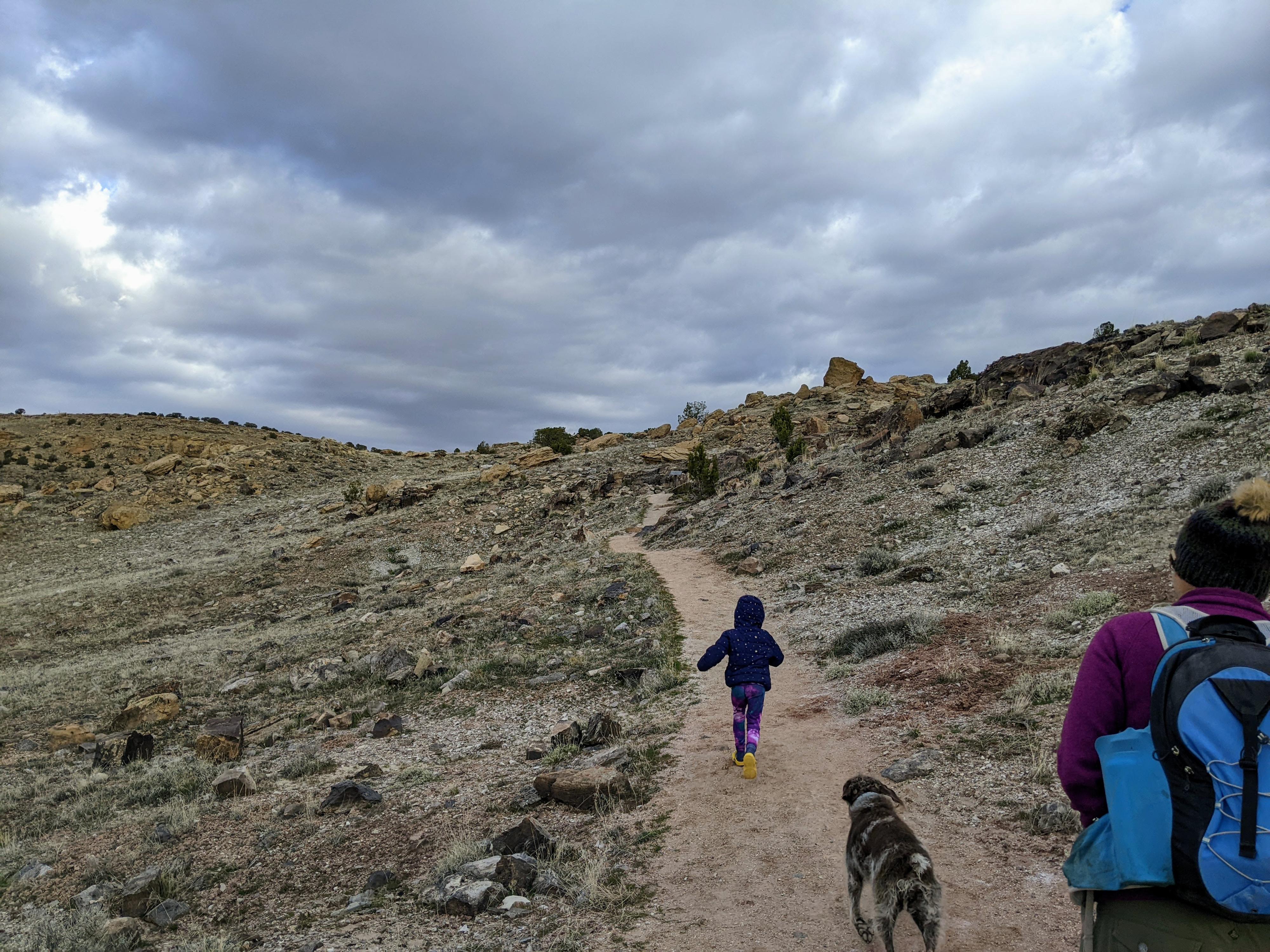
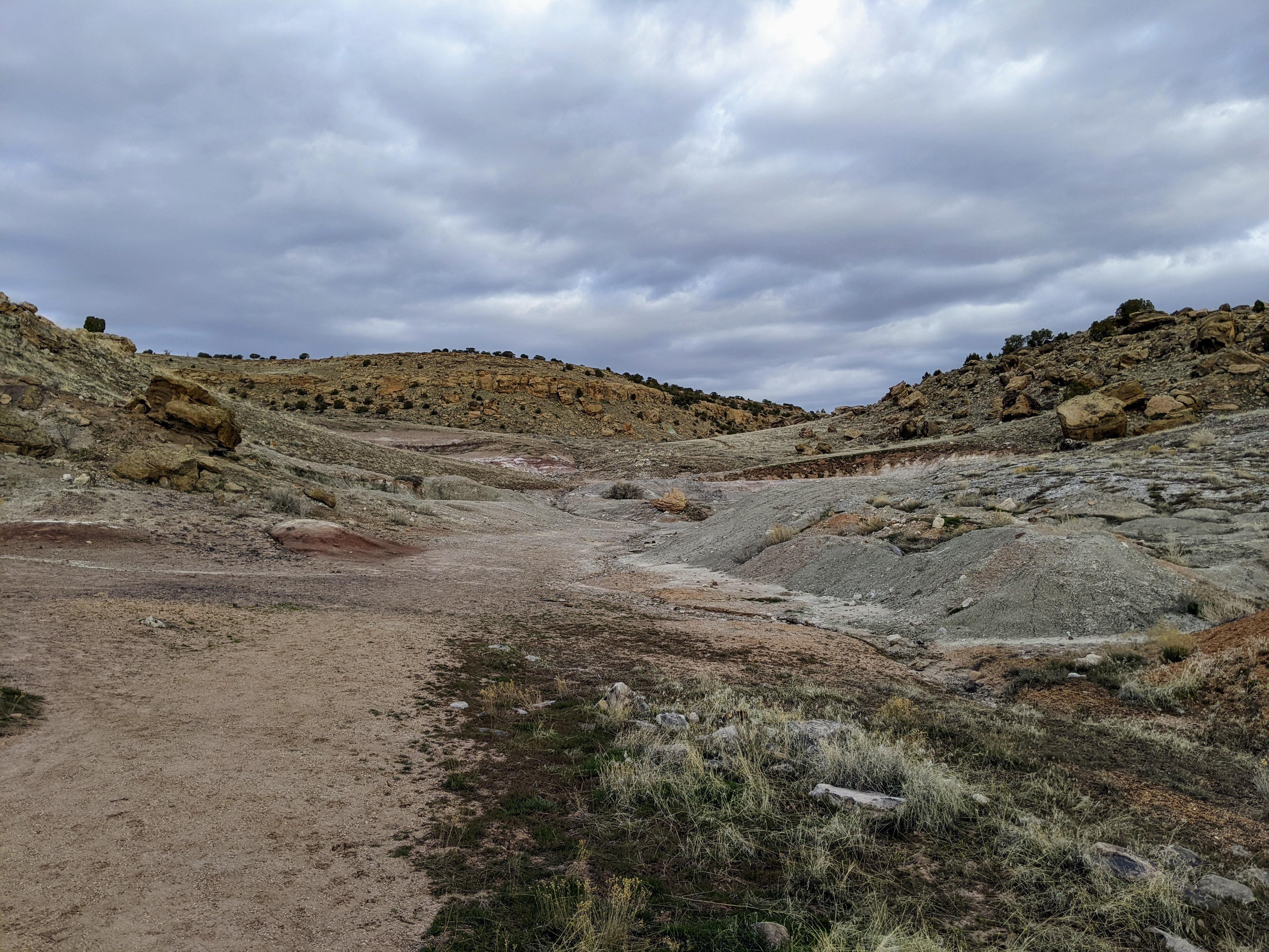
Near the Colorado-Utah border on I-70 in Rabbit Valley lies The Trail Through Time. The 1.5-mile trail is a stone's throw from I-70, but transports visitors back to the time when dinosaurs roamed the area.
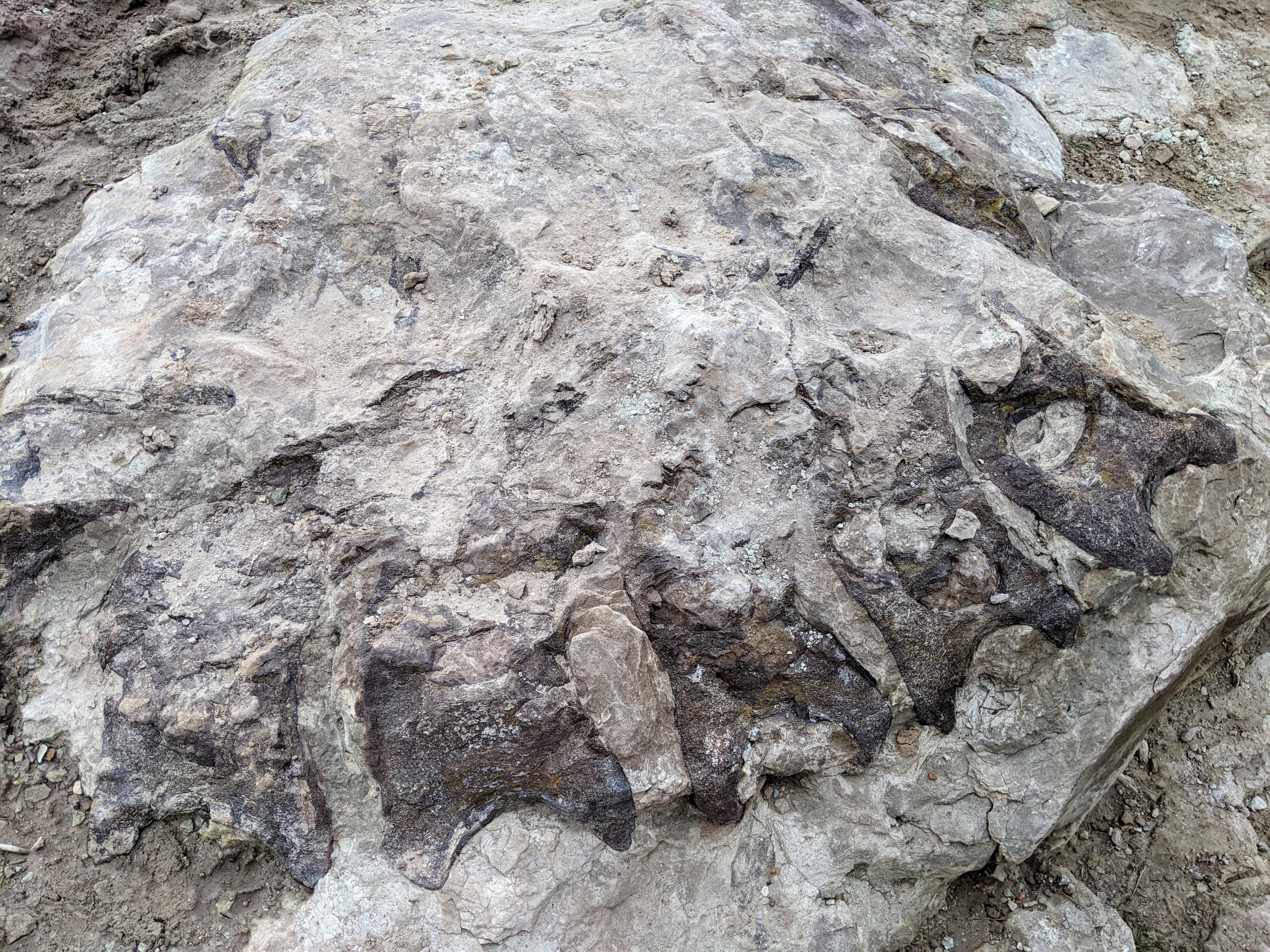
The trail is part of the active Mygatt-Moore dinosaur quarry that has been designated an Area of Critical Environmental Concern. As the trail winds its way along the benches, it visits several sites where dinosaur fossils can be seen in the rock. This is like most dinosaur exhibits in the wild I have visited in that the fossils are visible but will require a close eye to see and appreciate. Don't expect to see a full T-rex fossil lying around on the ground!
Our family, especially our 5-year-old, really enjoyed the stop while we were in the area. The trail is well done, and quite scenic. It captured and kept our family's attention.
This area has been the site of many important dinosaur and fossil discoveries. Eight species of dinosaurs have been found here dating from the Late Jurassic Period. Scientific research is ongoing at the Mygatt-Moore Quarry where you can observe paleontologists and volunteers digging during the field season. The Trail Through Time provides an opportunity for you to discover the area's paleontology and geology.
The Trail Through Time is a 1.6-mile interpretive hiking trail. It loops back to the stone-pillared kiosk that is visible in the distance. The trail to Mygatt-Moore quarry, restroom, and most of the lower trail are all wheelchair accessible. The upper trail climbs 140 feet and is mildly strenuous. Hiking boots are recommended. While on the trail, remember water, sunscreen, and a hat! Temperatures frequently soar to the upper 90s in Rabbit Valley during the summer.
Stay on trail, and pack out waste. Collecting materials of any type is prohibited. All digging is done under a scientific permit. Valid permits are required to collect vetebrate fossils on public lands in accordance with Paleontological Resource Preservation Act of 2009 (PRPA).
Did you know?
Eight species of dinosaur have been found here, including the armored dinosaur Mymoorapelta.
In the Jurassic period, Mygatt-Moore Quarry was a muddy watering hole in the wet season, and a harsh barren desert in the severe droughts of the dry season.
Dinosaur bones laid on the surface for as little as five months or as long as six years (or more!) before becoming buried as fossils at Mygatt-Moore Quarry.
Getting There
The trailhead is reached via exit 2 on I-70 in Colorado. This is 2 miles east of the Utah state line, and about 25 miles west of Grand Junction.
Once off the highway, go north for about 0.15 miles to the parking area and trailhead.
Route Description
From the trailhead, walk north on the trail/dirt road. There is a restroom on the left just before you reach the visitor information sign and quarry.
The trail heads each from the quarry and quickly comes to the loop junction. You can go either direction, though we went clockwise (left) to get the uphill out of the way early. It is a lovely loop with many interoperative stops along the way.
Maps
12S 670986E 4340126N
39°11'37"N 109°01'12"W
12S 670910E 4340263N
39°11'41"N 109°01'15"W
12S 671019E 4340326N
39°11'43"N 109°01'11"W