 Roadside Attraction
Blue Lake
Roadside Attraction
Blue Lake
Wendover
Overview
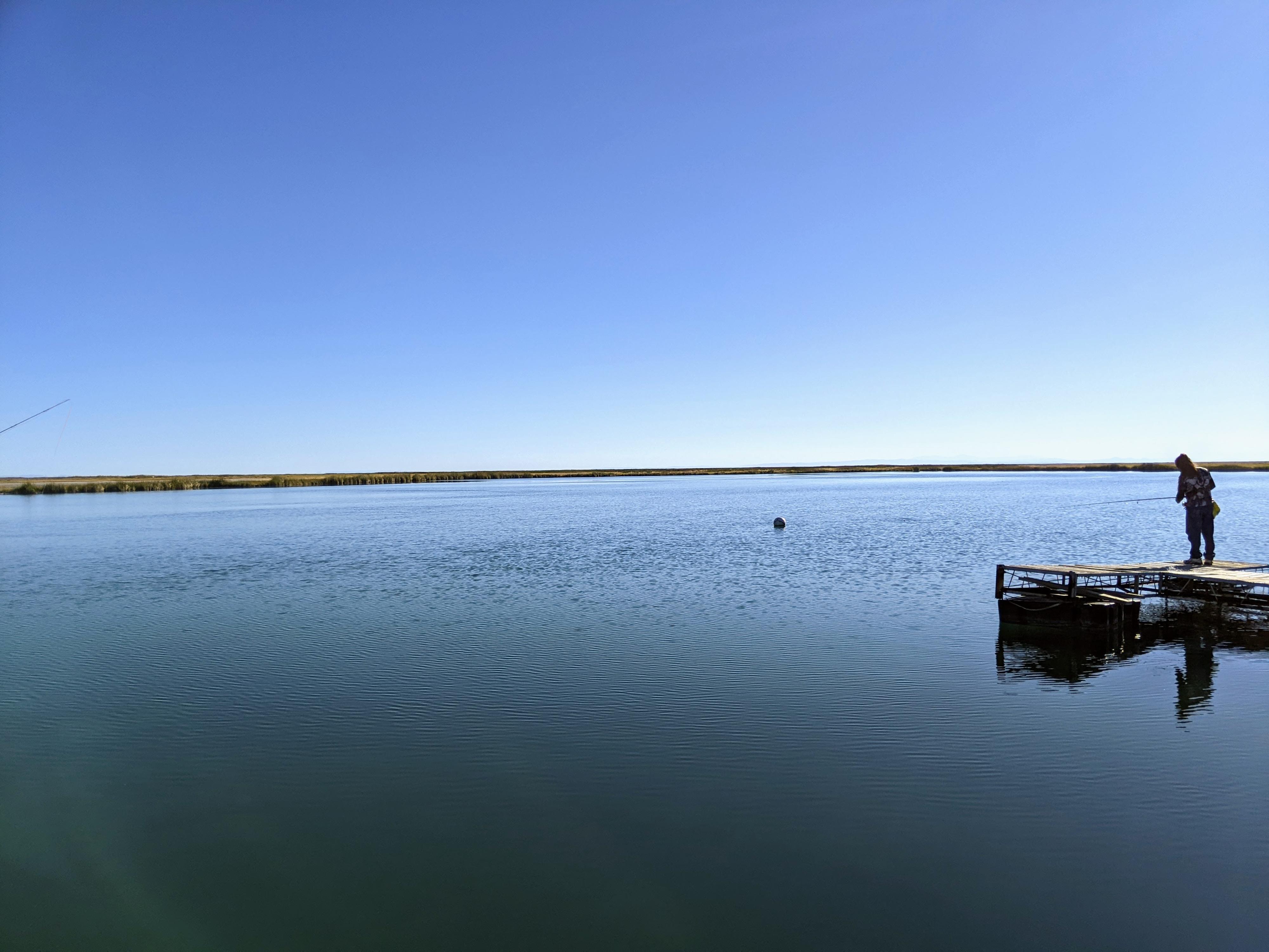
Blue Lake is located south of Wendover on the very western edge of Utah. The lake, a geothermal pool in a vast open desert, is well known amount scuba enthusiasts. It is one of the few warm bodies of water in the state that, at about 60-ft deep, offers the opportunity for scuba diving in all but the coldest months. The naturally heated water comes out of the ground at about 85 degrees at the bottom of the lake, with surface temperatures ranging between about 60-80 degrees depending on the season.
The lake is used mostly by scuba divers and fisherman. Because of the warm water, the lake is home to some planted warm water fish like bass, tilapia (introduced illegally), sunfish and bluegill.
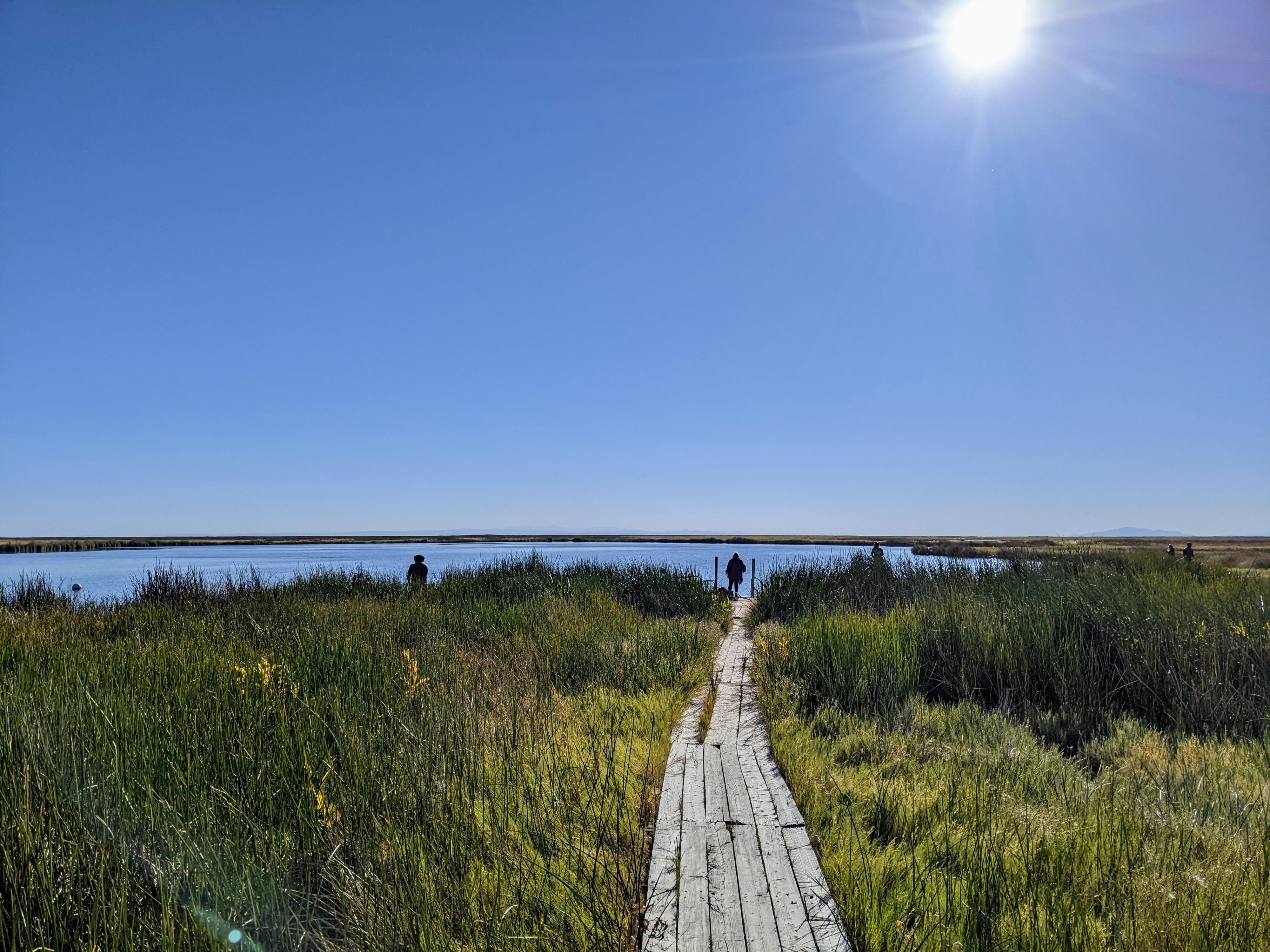
While excited to visit this oasis in the desert, I will admit to being fairly disappointed. The area, on our visit, was covered in litter and substantial trash. A wooden boardwalk goes from the parking area to the lake. At the lake, the boardwalk ends and dense vegetation makes getting off the boardwalk nearly impossible, meaning everyone congregates in a tiny area.
This was interesting to visit once, but not something I would recommend going too far out of your way to visit. We visited as part of a loop trip from Salt Lake City, west across the Pony Express Trail to Ibapah, then up to Blue Lake and back to Salt Lake City via I-80. Doing it as part of that loop it made a nice leg stretching stop.
Getting There
From downtown Wendover Nevada, head south on US-93 toward Ely. For this for about 16.4 miles to a dirt road on the left side of the highway at about mile marker EL 36.5.
Route Description
From the parking area, a wooden boardwalk makes up the short path from the parking area to the lake.
Maps

11T 751233E 4487696N
40°30'07"N 114°02'07"W
11T 751407E 4487713N
40°30'07"N 114°01'59"W