
 Grand Wash
Capitol Reef
Overview
A very popular family hike, Grand Wash offers a family friendly outing in a short package. The round trip distance is 4.4 miles, or if you have two cars, it can be done as a one way 2.2 mile through hike. For those wanting something shorter, I would recommend parking at the bottom trailhead on Highway 24 and walking up from the bottom. This visits the best narrow section of Grand Wash in a casual 20-30 minutes one way from the trailhead. For those wanting something longer, see the Frying Pan trail for making a great longer day that includes Grand Wash.
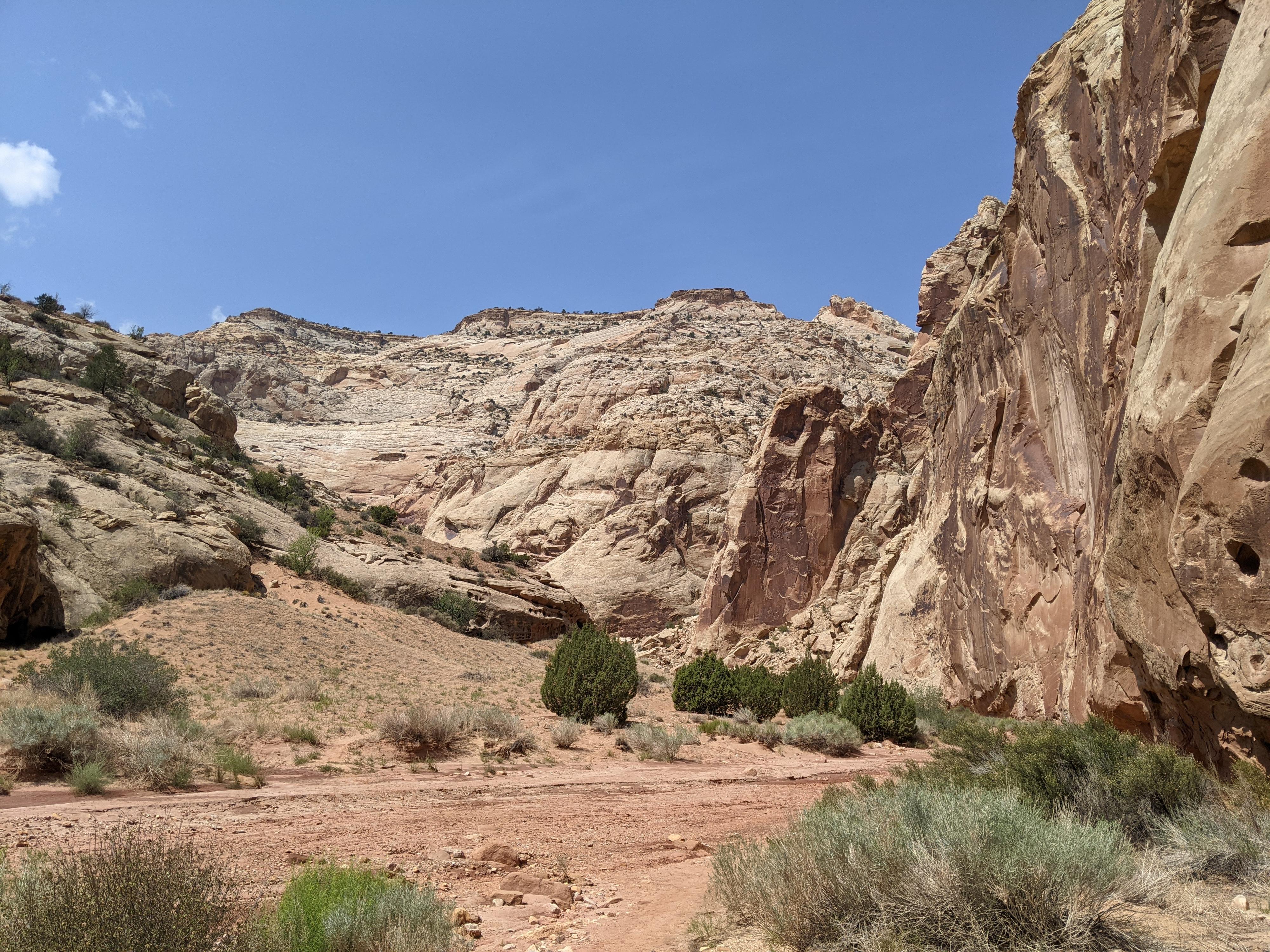
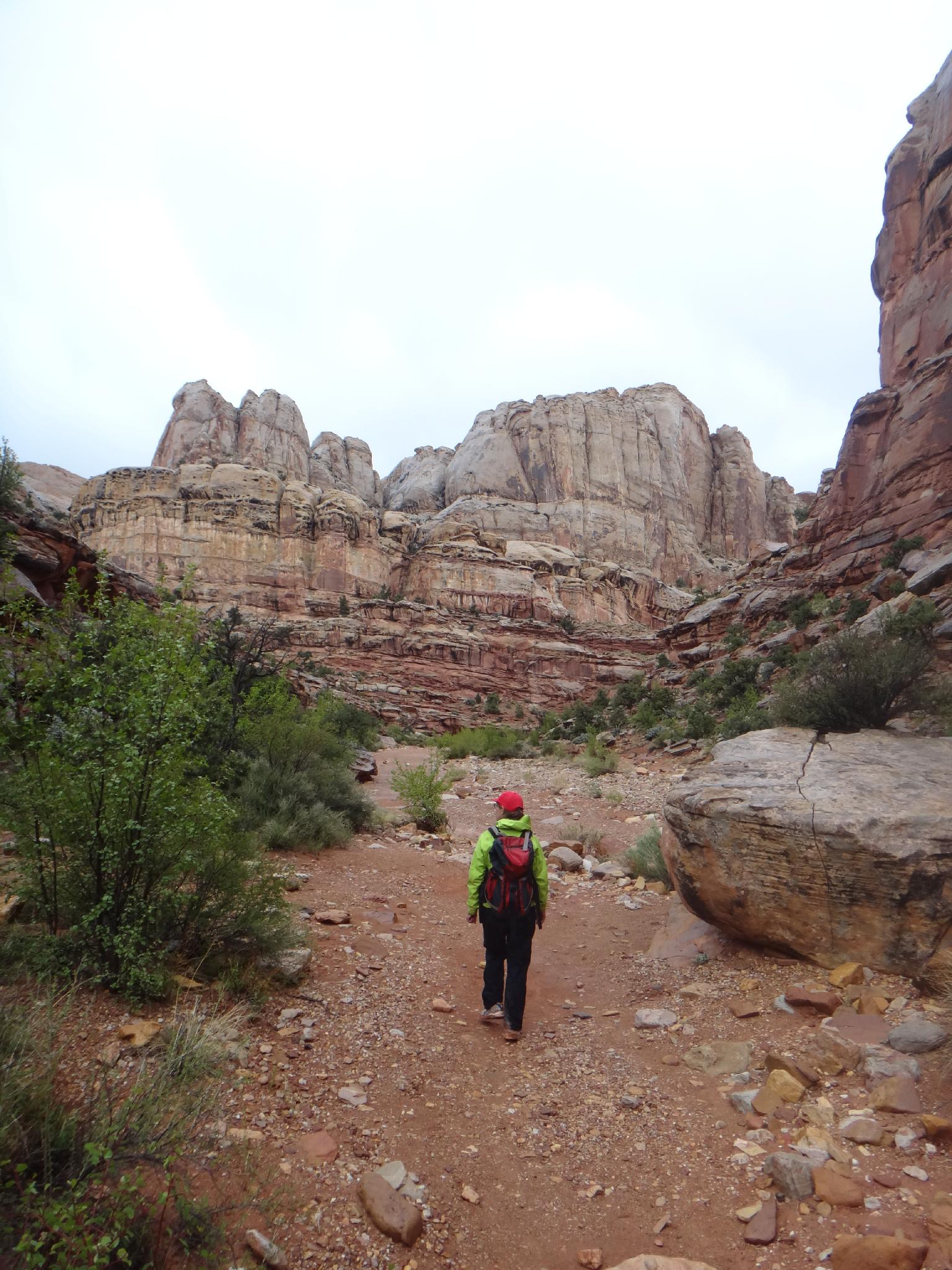
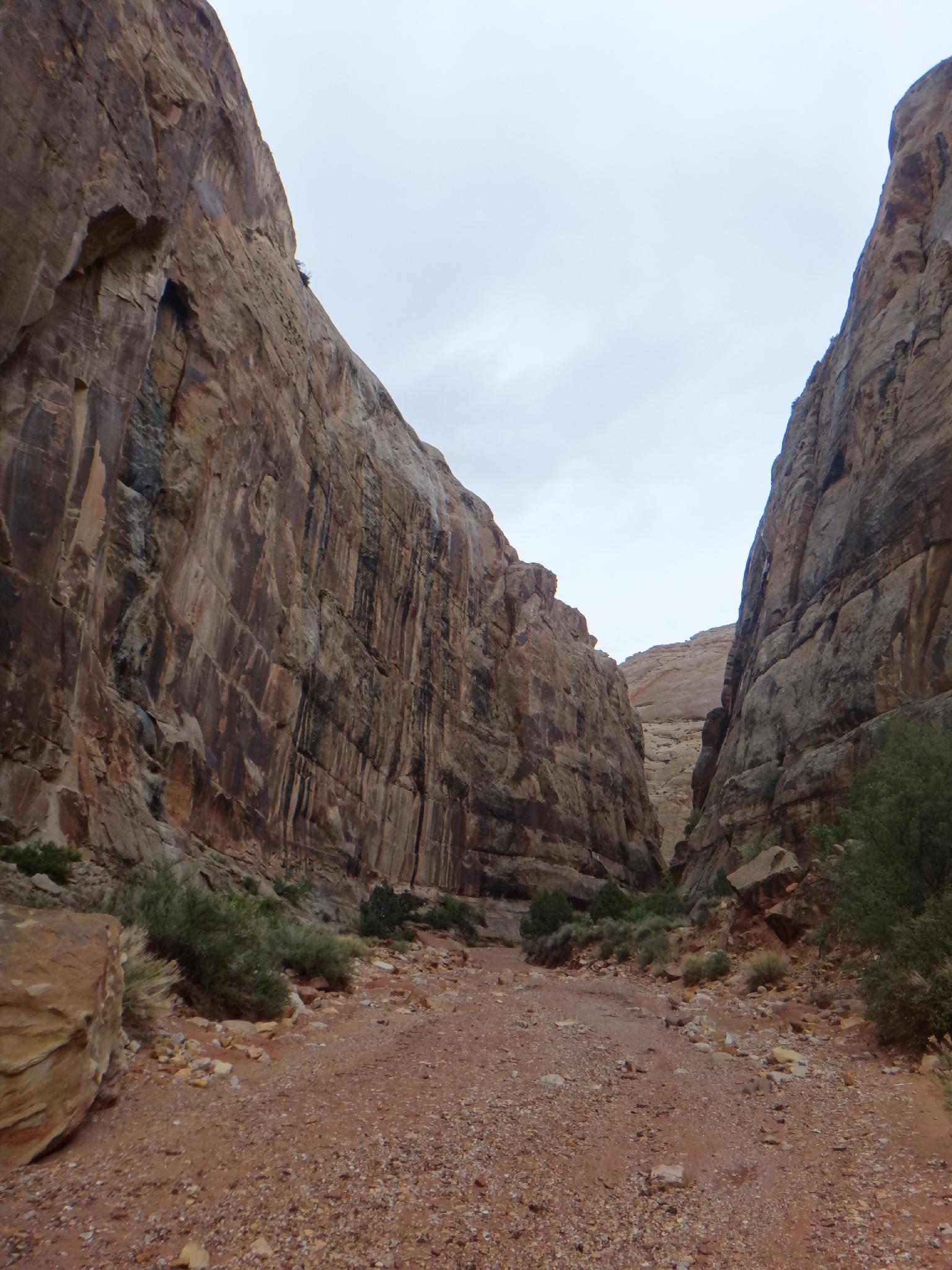
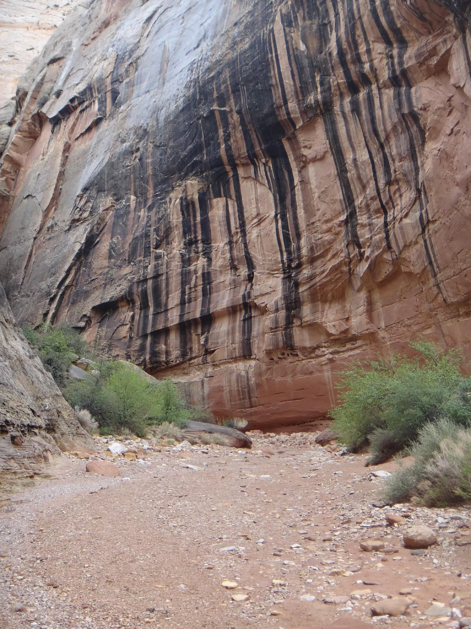
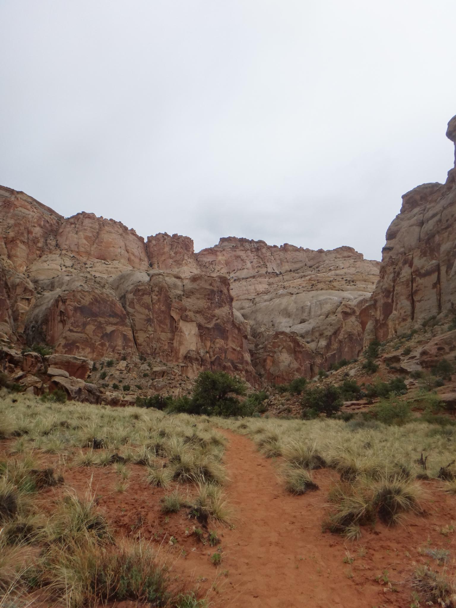
The hike descends Grand Wash, an impressively deep and sheer walled wash that cuts through the Navajo sandstone layer in the deepest section. The narrowest sections are about 15 or so feet wide, which is wide enough they used to drive cars through the wash, but still offers a pretty impressive narrow canyon hike. There are many signs warning of flash flood danger, and they do frequently close the Upper Trailhead road during storms, however flood danger is moderate unless an exceptionally big storm passes through.
Getting There
Upper Trailhead
From the visitor center, take the scenic drive. It passes several visitor attractions at 1.0 miles, and the campground at 1.2. At 1.6 miles is a fee station. Currently (2010) the fee is $5 per car, or free with a National Parks pass. Continue to 3.4 miles where Grand Wash is on the left. Follow the Grand Wash road 1.2 miles to it's end. En route down Grand Wash, at 0.75 miles, you will see the Cassidy Arch viewpoint.
Lower Trailhead
From the Visitor Center, travel east on Highway 24 about 5 miles to the signed Grand Wash trailhead at mile post 83.9.
Route Description
From the upper trail, head down canyon. The hike begins in the Moenkopi Layer. After just a couple of minutes, the Frying Pan / Cassidy Arch side trail goes off on the left. Stay in the sandy wash bottom. The canyon enters the Navajo layer and becomes narrower and deeper.
A bit over halfway through the hike, the wash reaches its narrowest section as it winds around several bends with domes visible high on the skyline. Soon the wash begins to open and highway 24 is visible a short distance down canyon. Return the same way unless you spotted a car.
Maps

12S 481117E 4235101N
38°15'50"N 111°12'57"W
12S 481321E 4235310N
38°15'56"N 111°12'49"W
12S 483170E 4236693N
38°16'41"N 111°11'33"W