 Hiking
Meeks Mesa
Hiking
Meeks Mesa
Torrey
Overview
The Meeks Mesa trail was one of the first hikes I did in Capitol Reef. At the time, it had one very important characteristic; it was outside of the National Park boundary! Being outside the National Park, dogs are allowed on this trail, and the reason I first did it. In addition to being dog-friendly, it is a stunning hike.
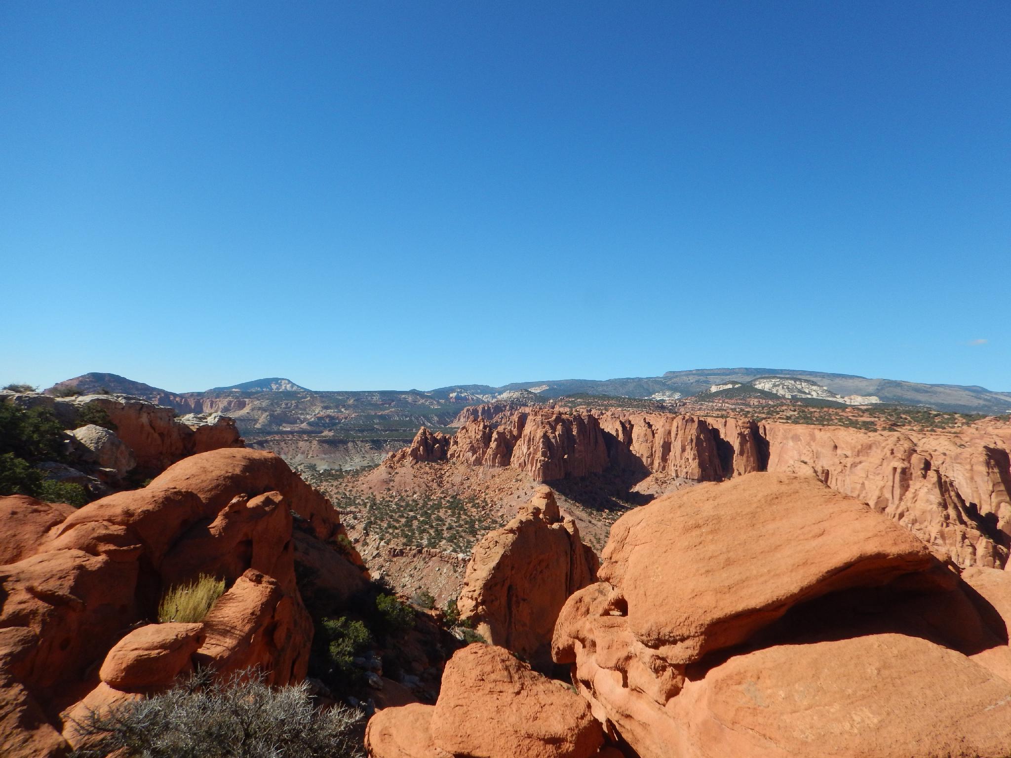
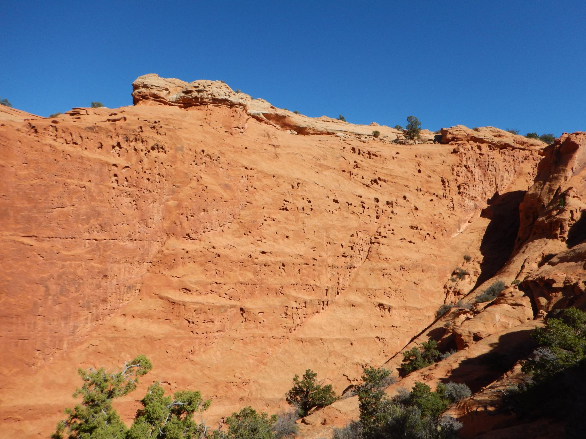
The hike ascends from the trailhead up to Cooks Mesa, where it heads west and then north offering excellent up-close views of the Wingate cliffs that are visible from the highway. The trail then ascends to the top of Meeks Mesa proper. The top of the mesa makes an excellent stopping point for most groups and gives big views of much of the western side of Capitol Reef National Park. Motivated hikers can explore along the top of Meeks Mesa, but navigation on the mesa top is moderate to difficult.
Getting There
The trailhead is between Torrey and Capitol Reef. Head east out of Torrey. Just before mile marker 73 (about 50-60 meters before), is a dirt road heading north. This road braids out into several primitive campsites within a hundred meters of the highway. Trend left to a sheltered spot. This is the Meeks Mesa / Pandora's trailhead.
Route Description
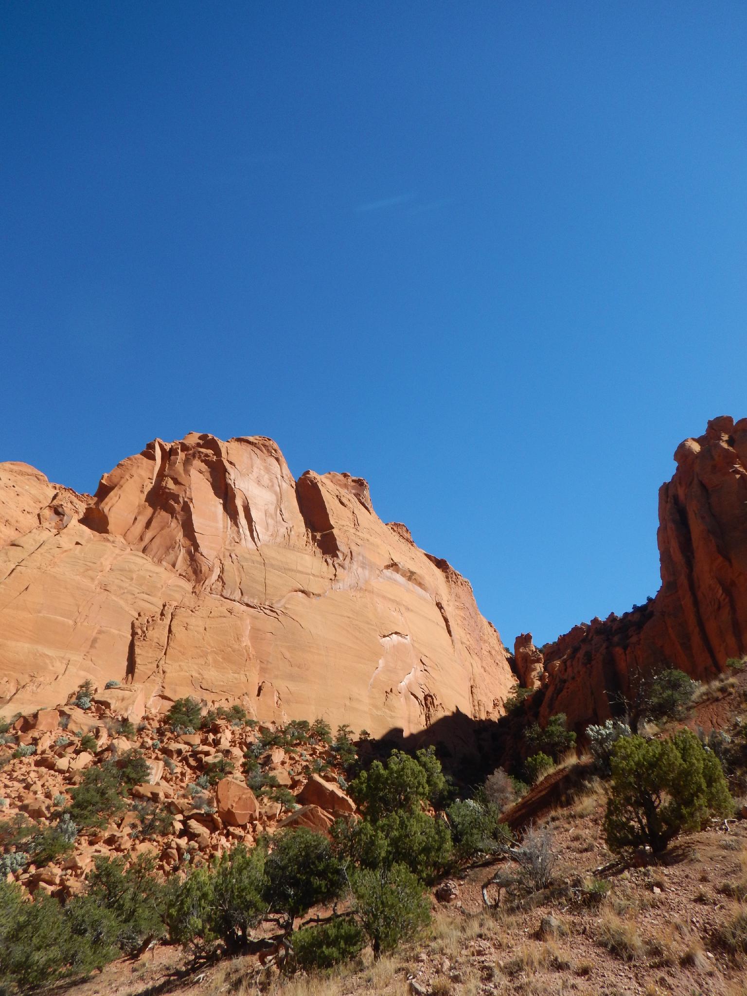
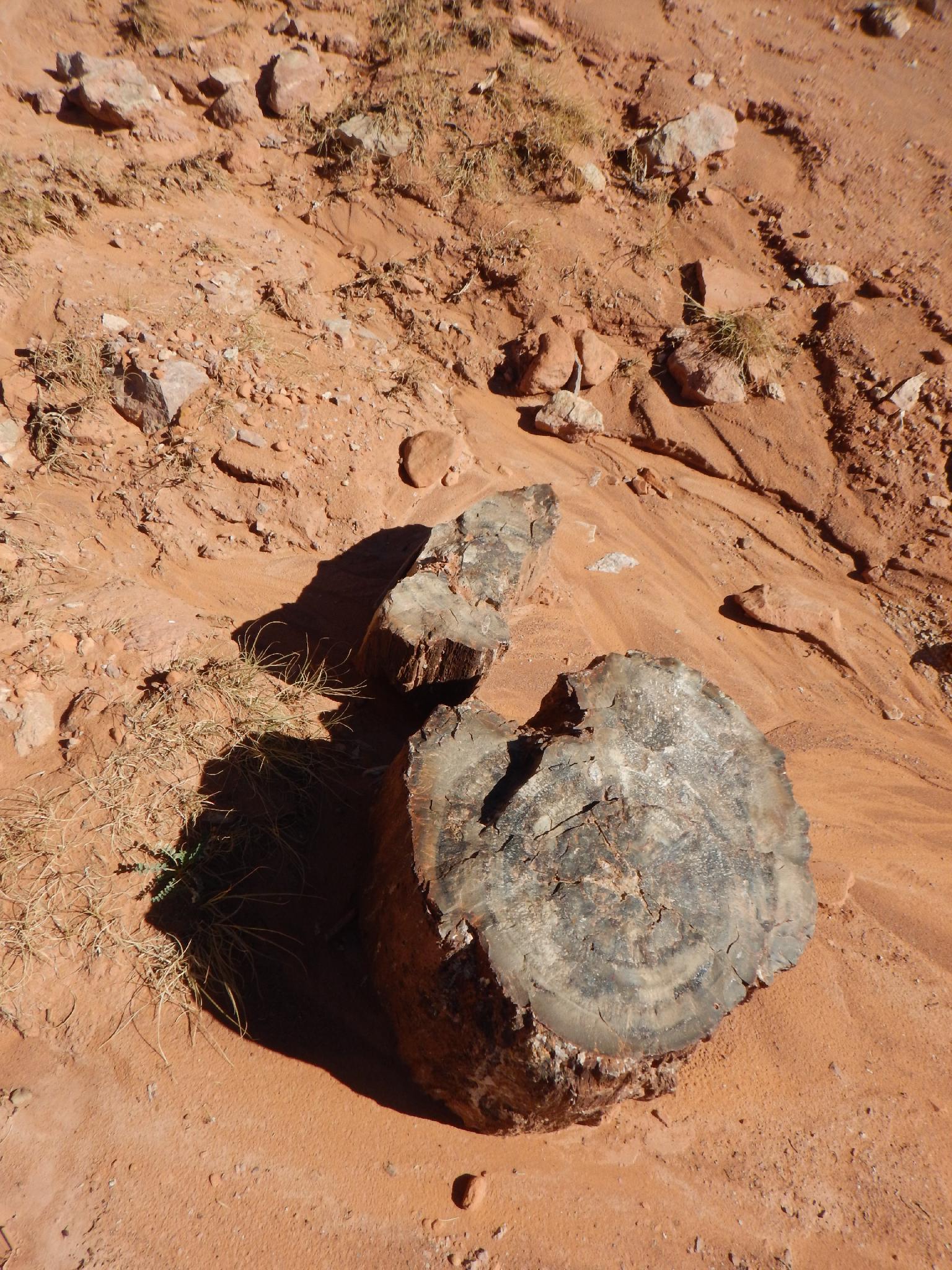
From the trailhead find a trail going up the steep dirt ridge. The trail is an old cattle trail that meanders its way to the top of Meeks Mesa. Although well-traveled, there may be spots where it becomes indistinct. If you lose it, stop, look around, and you will likely find it again. After climbing steeply to just below the Meeks Mesa headwall, it begins a long flat stretch heading west, and circles around the mesa to the west/north. On the way, you will see large petrified wood stumps and logs.
Once around the mesa, about 45-60 minutes from the car, the trail turns right, ascends a dirt ridge and follows the cliff face to a gully. The gully contains remnants of a man made trail used to get cows to the Mesa top. Admire the handiwork and fortitude needed to get cows up on the mesa, or more impressively down from the mesa. Ascend the gully to the mesa top. (90 minutes from the car to mesa top for most)
The top offers a good lunch spot with big views of Boulder Mountain to the South, Thousand Lake Mountain to the northwest, and the Waterpocket Fold to the southeast.
For the motivated, continuing along the north edge of the mesa is a nice addition that gives more great views. If continuing hiking on the mesa, be very aware of where the top of the Meeks Mesa trail is! It can be very difficult to find from above. Map and compass (or GPS) and solid navigation skills will be required to find it on your return!
Photos
Maps

12S 468148E 4242111N
38°19'36"N 111°21'52"W
12S 467735E 4243948N
38°20'35"N 111°22'09"W