 Hiking
North Fork of Mill Creek
Hiking
North Fork of Mill Creek
Moab
Overview
If it is a hot day in Moab, Mill Creek is THE place to be. This is a beautiful and very social place in the hotter times of the year. Is it considered the local swimming hole, and a nice relaxing place to beat the heat. The hike in is beautiful, casual, short, and family friendly. Highly recommended if in the area.
Those looking for an even shorter outing may want to visit the stream right at the trailhead. A few small pools here make for a nice cool place to hang out with less than a 5 minute hike.
Getting There
From downtown Moab, head east on Center Street, turn right on 400 East, then left on Mill Creek Dr.
Make sure to go right when Mill Creek Dr. turns right, and the Sand Flats Road goes straight. Finally, left on Powerhouse Lane until it ends at a dirt pullout and parking area. See the maps at the bottom of this description for a visual map of the roads.
Route Description
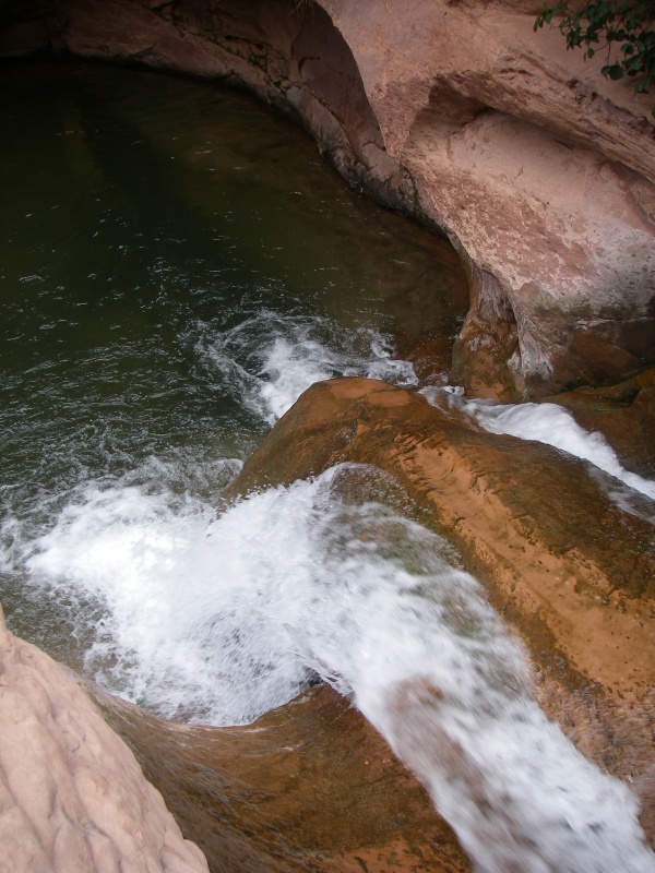
From the pullout, you will see a good trail heading east up Mill Creek Canyon to the south (right) side of the stream. Less than 5 minutes from the car is a sandstone gorge below a small dam that provides a great place to hang out a short distance from the car.
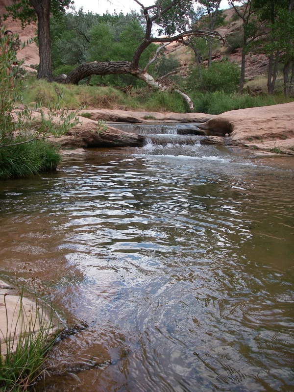
For the more adventurous, continue heading up the canyon, staying on the well used trail. The trail crosses the stream a few times, so don't be afraid to get your feet wet right from the start. About 15 minutes from the car, you may or may not notice a side canyon on the right (south). If you do notice it, stay on the trail in the left fork (the main canyon on the most well-used trail).
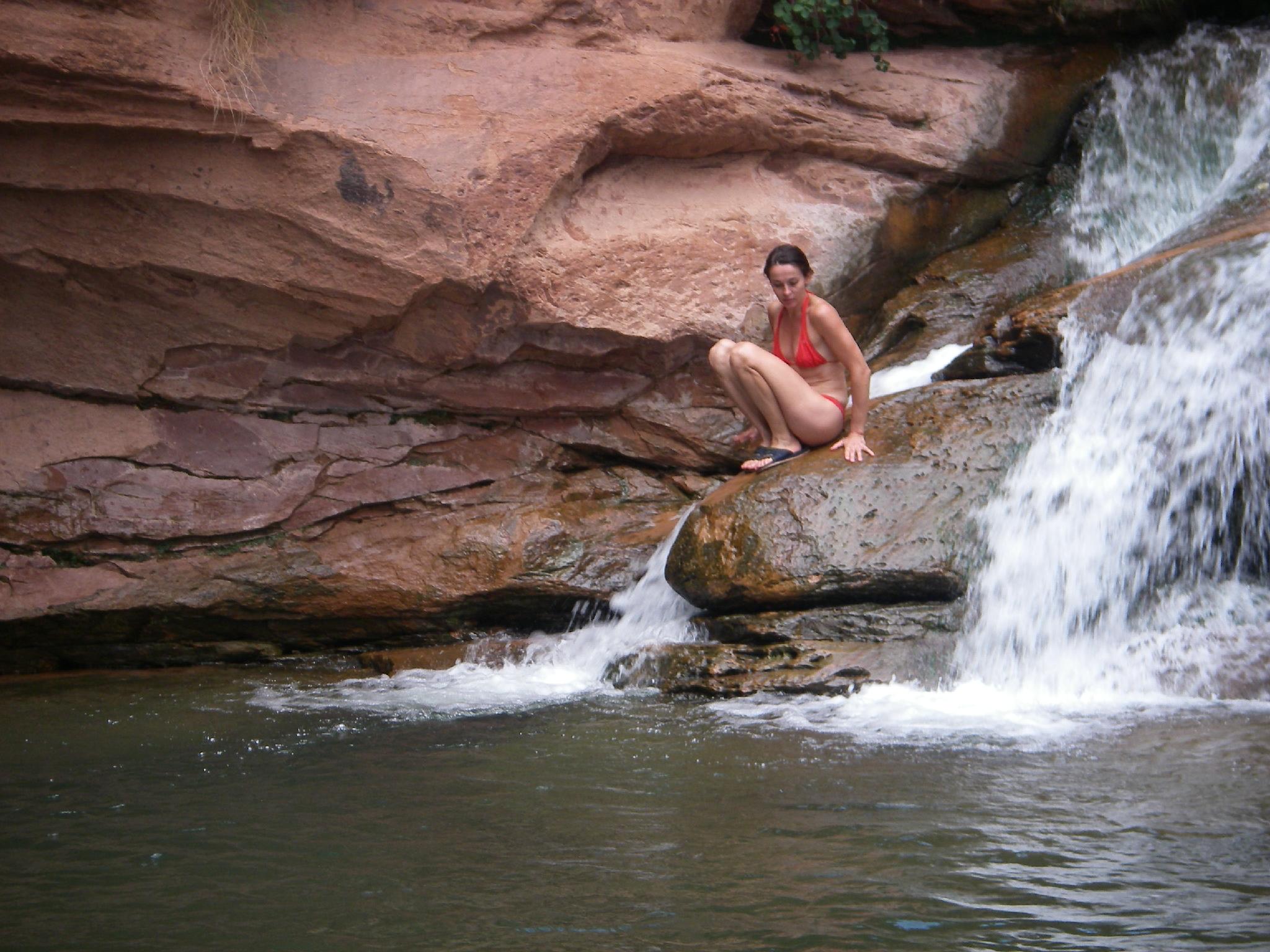
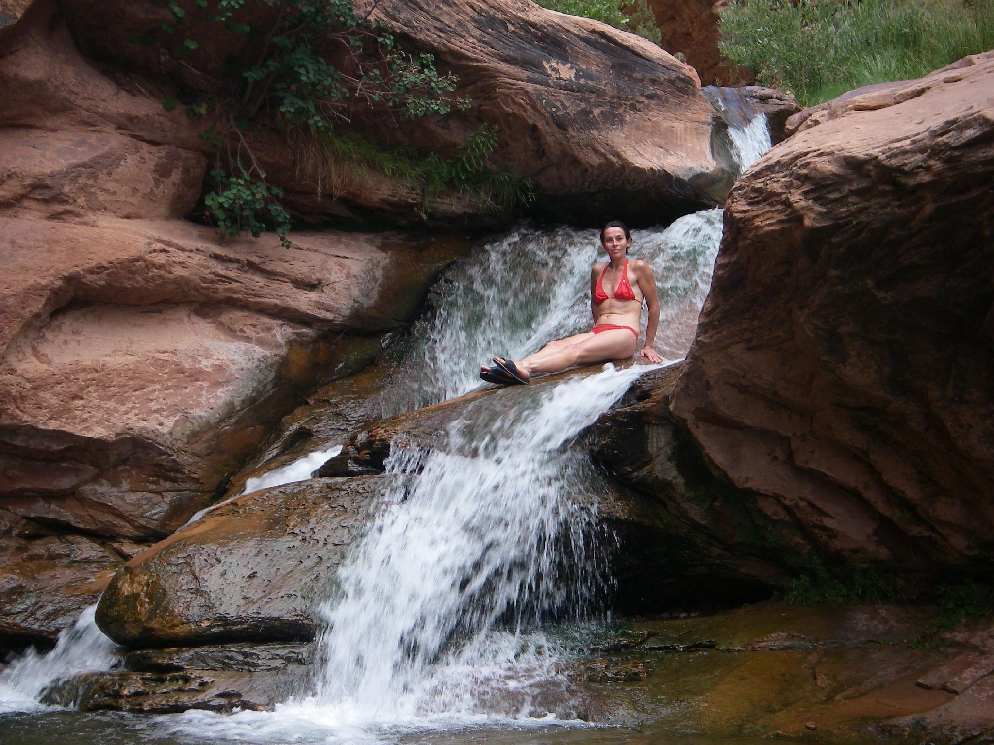
20-30 minutes from the car, you will arrive in Shangri-la, a large pool and waterfall. This is an amazing place! The bold can swim the pool and up climb the waterfall. A better approach is to hike down canyon a short distance until you can easily climb the right (looking down canyon - north) side of the canyon. Once on the bench above the canyon floor, walk upstream above the pool to the top of the waterfall.
The waterfall is the destination for most, but continuing up canyon provides a nice hike in a beautiful setting. Return the way you came.
Maps


12S 629209E 4269203N
38°33'43"N 109°31'01"W
12S 630369E 4269498N
38°33'52"N 109°30'13"W