Bridger Peak | Rich County Highpoint

Hiking Bridger Peak - Rich County Highpoint Hiking Bridger Peak

Rich County Highpoint

Overview

Wed Snow showers before noon, then snow showers and a chance of thunderstorms. Cloudy. High near 41, with temperatures falling to around 35 in the afternoon. West southwest wind 18 to 22 mph, with gusts as high as 46 mph. Chance of precipitation is 90%. New snow accumulation of 1 to 3 inches possible.
41° | 34°
Thu Snow showers before noon, then snow showers likely and a slight chance of thunderstorms. Mostly cloudy, with a high near 38. West wind 14 to 17 mph, with gusts as high as 36 mph. Chance of precipitation is 80%. New snow accumulation of 1 to 2 inches possible.
38° | 27°
Fri A chance of snow showers before noon, then a chance of snow showers and a slight chance of thunderstorms. Partly sunny, with a high near 37. New snow accumulation of less than one inch possible.
37° | 23°
Sat A slight chance of snow showers before noon, then a slight chance of snow showers and a slight chance of thunderstorms. Mostly sunny, with a high near 42.
42° | 20°
Sun A chance of snow showers before noon, then a chance of snow showers and a slight chance of thunderstorms. Partly sunny, with a high near 43. New snow accumulation of less than half an inch possible.
43° | 25°
RATING: Easy Hiking, Moderate Navigation
MAPS: Garden City, UT
SEASON: Late Spring, Summer, Fall
GEAR: Standard Hiking Gear
WATER: None
Wed Snow showers before noon, then snow showers and a chance of thunderstorms. Cloudy. High near 41, with temperatures falling to around 35 in the afternoon. West southwest wind 18 to 22 mph, with gusts as high as 46 mph. Chance of precipitation is 90%. New snow accumulation of 1 to 3 inches possible.
41° | 34°
Thu Snow showers before noon, then snow showers likely and a slight chance of thunderstorms. Mostly cloudy, with a high near 38. West wind 14 to 17 mph, with gusts as high as 36 mph. Chance of precipitation is 80%. New snow accumulation of 1 to 2 inches possible.
38° | 27°
Fri A chance of snow showers before noon, then a chance of snow showers and a slight chance of thunderstorms. Partly sunny, with a high near 37. New snow accumulation of less than one inch possible.
37° | 23°
Sat A slight chance of snow showers before noon, then a slight chance of snow showers and a slight chance of thunderstorms. Mostly sunny, with a high near 42.
42° | 20°
Sun A chance of snow showers before noon, then a chance of snow showers and a slight chance of thunderstorms. Partly sunny, with a high near 43. New snow accumulation of less than half an inch possible.
43° | 25°
Views toward the west.

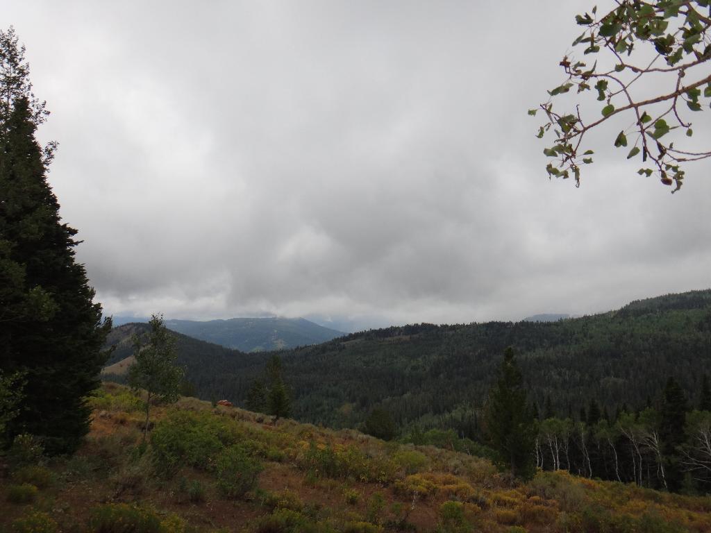
Short and steep sums up this hike. This hike is a thigh buster! Bridger Peak was unnamed until the 1990's when a contest in the Salt Lake Tribute named it. If not for being the high point of Rich County, this summit would likely be very seldom trod. As is, it doesn't seem to see much traffic. The first half of the hike follows a prominent closed road up the steep hillside. Once near the top, it is cross country navigation in relatively dense trees to the summit. An intermittent use trail can be found, but good navigation and/or a gps will help ensure success.

Views of Bear Lake from the summit
Summit Cairn
Summit Cairn

Getting There

From Logan, go east on highway 89 up Logan Canyon. After about 30 miles, at mile post 490.1, take the Swan Flat Road. This is not far past a highway maintenance shed on the left, and before the highway tops out and begins descending to Bear Lake.

Follow the Swan Flat road 3.4 miles. There are good primitive campsites on both sides of the road here. The trailhead is on the right side of the road, directly across from a primitive camp. The route up the steep hill to the east on the old road is clearly visible.

On the way down.
On the way down.
Summit Ridge
Summit Ridge

Route Description

Summit: 2821 m ( 9256 ft. )
Trailhead: 2643 m ( 8672 ft. )

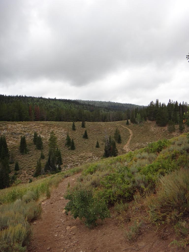
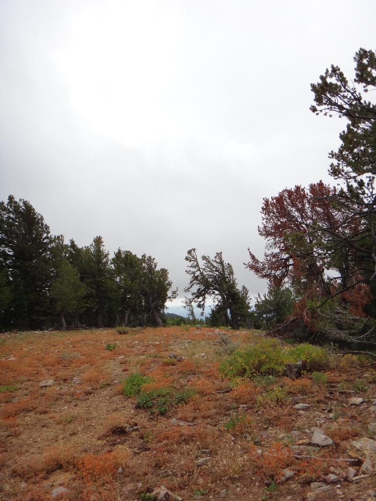
Follow the old road as is descends slightly, and then begins the thigh-busting steep climb straight up. Stay on the now closed road until it makes a hard right near the summit. A social trail is a bit hard to find here, but climbs directly up to the east.

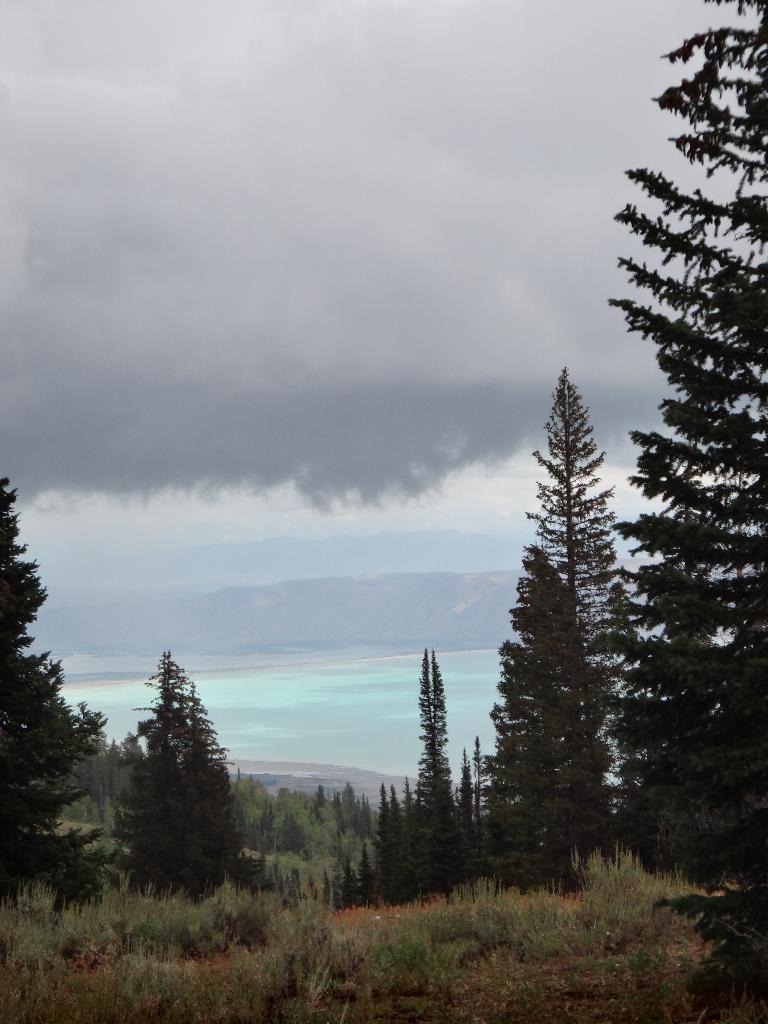
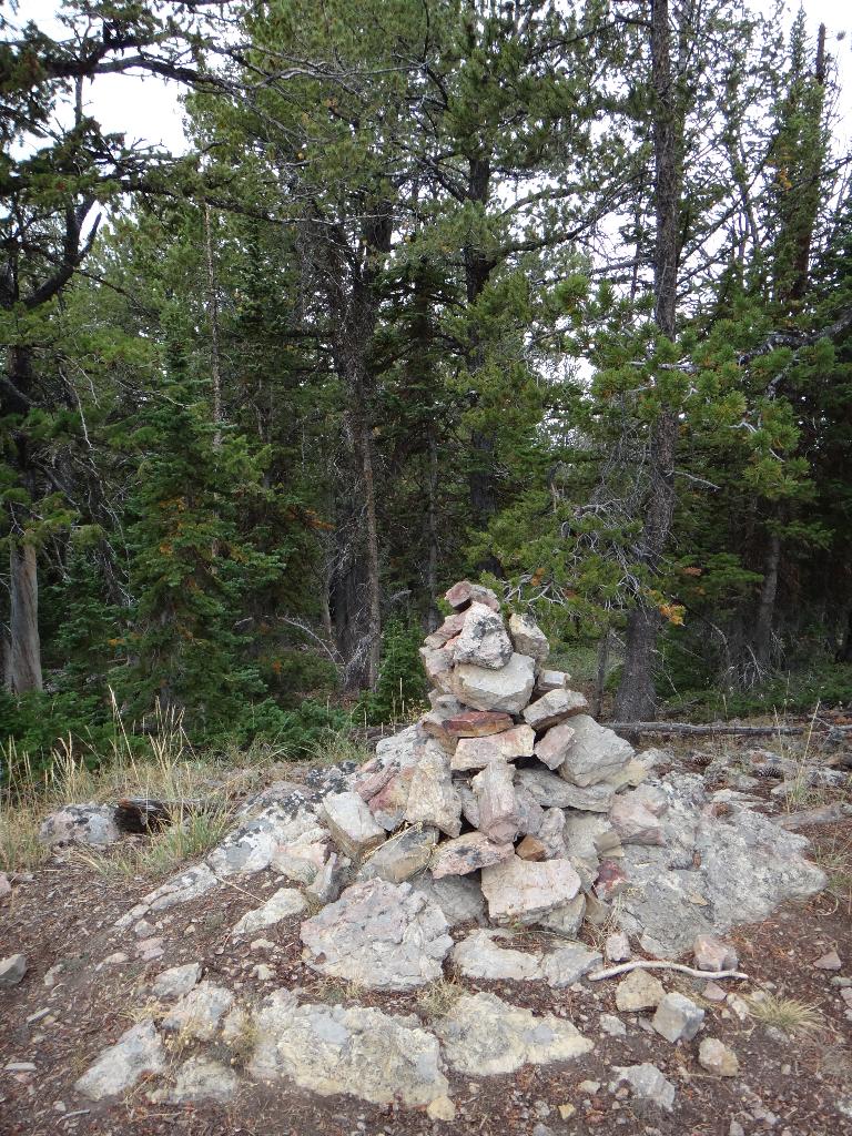
If you can find the social trail, stay on it as it works its way up the hillside and north to the highpoint. If you lose the trail, it is easiest to work up the hillside to the ridge, and then follow the ridge north to the summit. The nondescript summit is marked with a large cairn. It does offer good views of Bear Lake to the east. Return the way you came.


Photos

Maps

Route / 2.28 miles / Elevation Range 8,269 - 9,251 ft.
Printable Maps:

Trailhead
12T 459720E 4648932N 41°59'29"N 111°29'11"W
Social Trail
12T 460487E 4649093N 41°59'34"N 111°28'37"W
Summit
12T 460515E 4649779N 41°59'57"N 111°28'36"W

Comments