 Roadside Attraction
Bull Mountain
Roadside Attraction
Bull Mountain
Box Elder County Highpoint
Overview
One of the great things about doing county highpoints, is seeing corners of the state you wouldn't normally visit. Bull Mountain, the Box Elder county highpoint, is an uninspiring small high spot on a ridge in the Raft River Mountains. Not a destination for most, other than the few ATV-ers, hunters, and campers that venture into the mountains, but a destination for the intrepid county highpoint hunter.
The peak can be visited via a somewhat strenuous hike from Clear Creek Campground, but most have reported it a bit of a bushwhack and not high on their list to repeat. It can also be visited as a roadside attraction via a bumpy jeep road that comes in from the north. This is the method I would recommend, as it replaces a potential bushwhack with a pleasant drive.
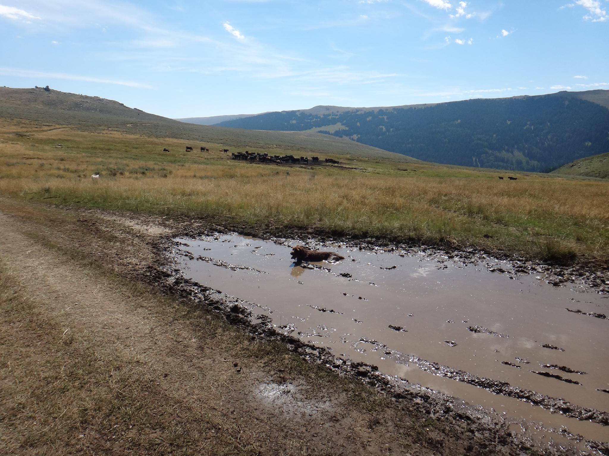
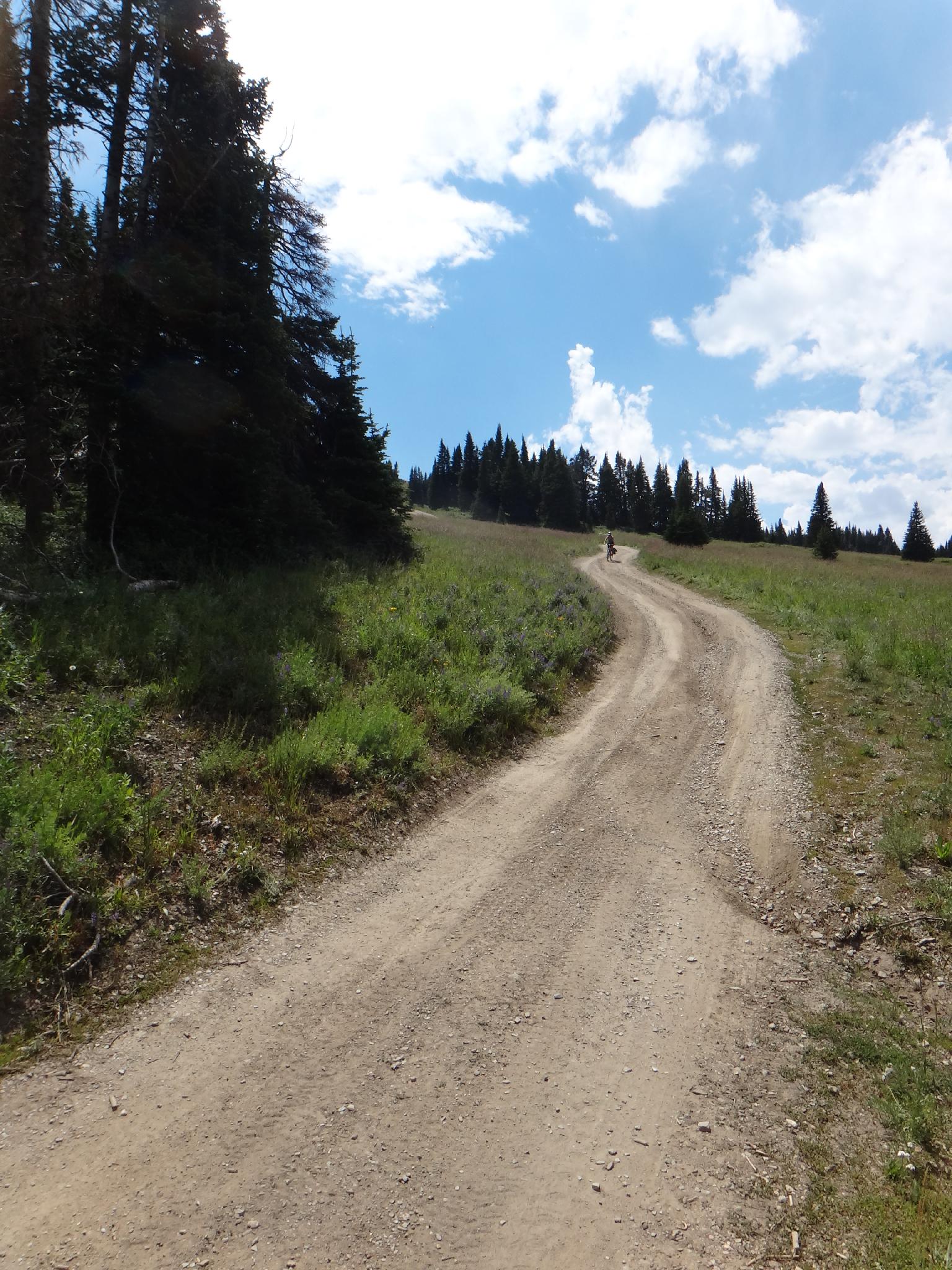
As an aside, to make the peak a little more sporting, Diane and I choose to bike the last 6 or 7 miles. It seemed like a good idea. Save a few bumpy miles on the car, get some exercise, wear out the dog, what could be better?!?!? Well, the road is steep, rocky, and not a fun mountain bike for the novice to intermediate mountain biker. Pushing bikes up the final incline to the ridge was especially not fun. Diane and the dog were both great sports in supporting my crazy idea, and we finished the peak strong. Odd how sometimes the easiest seeming of trips can become one of the most memorable.... Good times?!?!
Getting There
Getting to Bull Mountain starts from the small town of Snowville, in north east Utah. Take exit 5 off the highway, and head west on UT-30.
- At mile 15.8, UT-30 goes left, stay straight, which becomes UT-42.
- At 23.2 miles from Snowville, cross the board to Idaho.
- At 24.6, go left onto 3600 S signed for Naf. This is also the road that goes to City of Rocks. This is a gravel road, but suitable for all vehicles.
- At 34.6 miles, the road splits. Go left, onto 2000 E.
- At 36.6 miles, go left toward One Tree GS (Guard Station.
- Follow the road is it passed the Guard Station and Dripping Vat Spring to a 4-way junction in a saddle at 42.6
- Go left, and follow the road as it begins climbing steeply. Though the road has been passable to all to here, the section from here to the ridge-line is the worst section, and has a few rocky and steep sections.
- Stay on the main track as it climbs, levels out for a minute, then climbs steeply again for a long stretch. Once on the ridge line, it descends to the Meadows at mile 47.4 There are several good campsites here.
- Stay on the main road as it heads south and begins climbing steeply. Though steep, this section of road is not rocky and relatively easy. At the top, take the left fork onto the ridge. (48.6 to the ridge.)
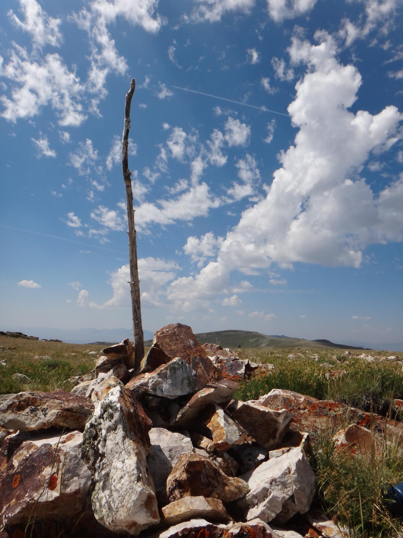
- Once on the ridge, head east. The road quickly enters private property. There is an easement, but stay on the main road. Dunn BM and a small building are on the hill to the right, but stay on the road as it contours around Dunn, drops down, then makes a final climb up to a cattle guard and fence. (51.1 miles). The bench mark is the cairn pile and stick on the left a few hundred feet from the road.
Route Description
Summit: 3025 m ( 9925 ft. )
Your there! No description needed, just wander over to the cairn and (likely) wooden post sticking out. Being a drive up, this summit had a rather hefty register that made for interesting perusing. Return the same way. Dunn BM, the hill in the distance with the small building, seems taller, but is in fact not.
Maps

12T 294588E 4645619N
41°56'09"N 113°28'40"W
12T 299618E 4643495N
41°55'05"N 113°24'59"W
12T 300277E 4642198N
41°54'23"N 113°24'29"W
12T 303773E 4642638N
41°54'41"N 113°21'58"W