 Hiking
Wagner Spring
Hiking
Wagner Spring
Salt Lake City
Overview
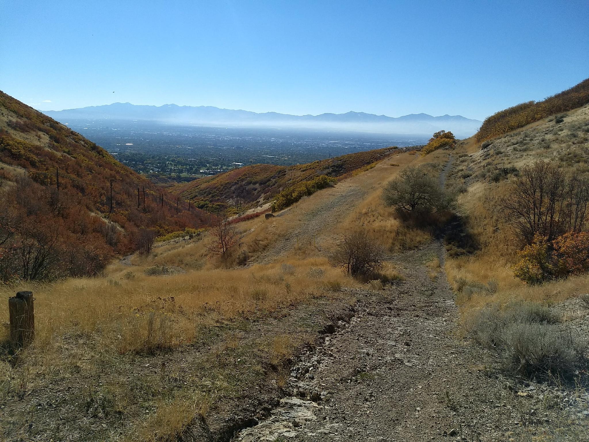
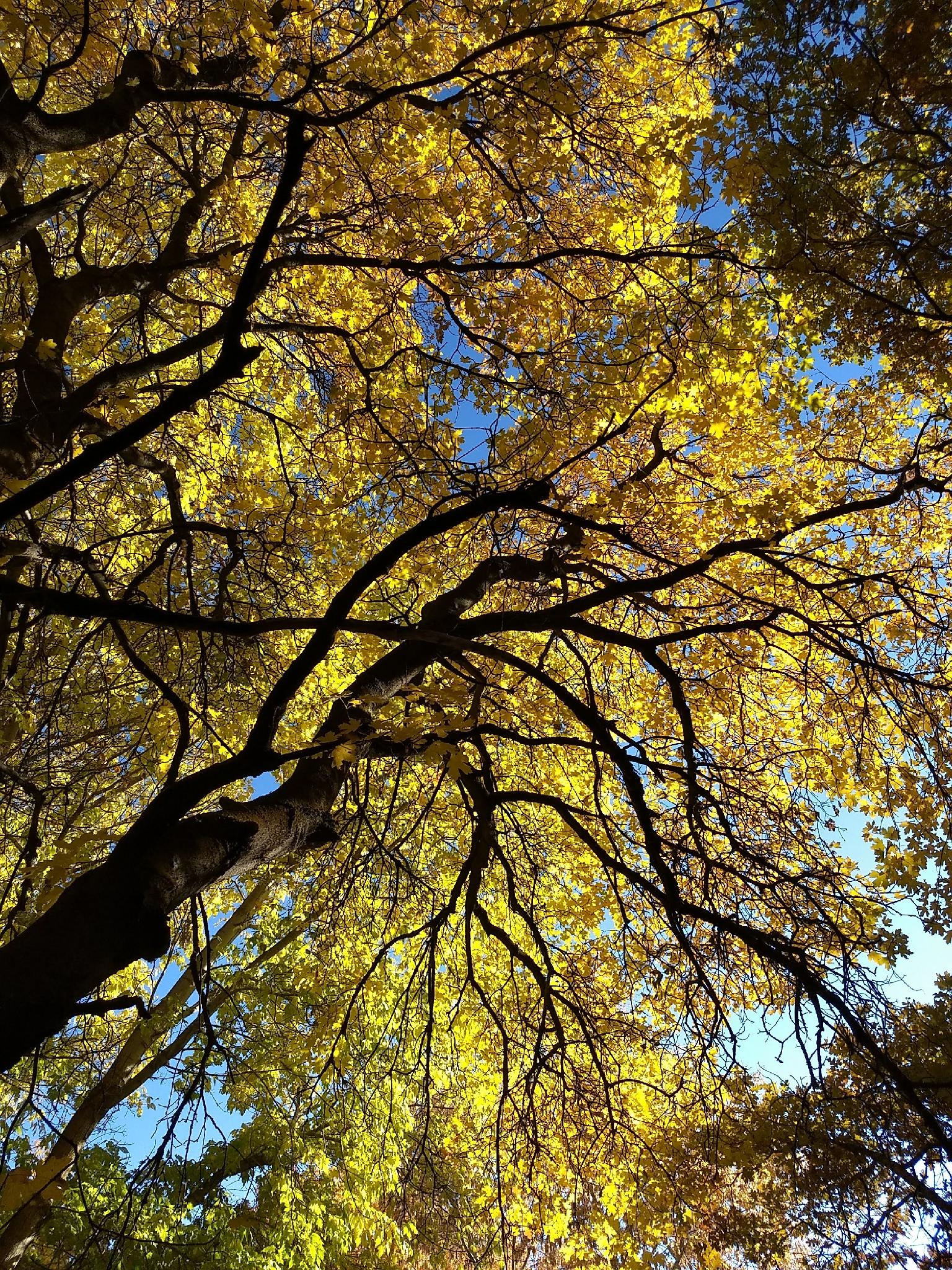
The Wagner Spring hike is short enough to fit into an evening but long enough to feel like an outing. The hike is a nice one, meandering through scrub oak, passing a spring, then climbing up the foothills to a viewpoint of Emigration Canyon and Salt Lake City.
Historical Note: Wagner Spring has an interesting history. In 1864, the first brewery in Utah was opened at the site called the California Brewery by German immigrant Henry Wagener. In 1894, it was renamed the Wagener Brewing Company. Sadly, in 1914 the brewery was destroyed by fire and never rebuilt.
Getting There
The trailhead is at the mouth of Emigration Canyon on the east side of Salt Lake. From downtown Salt Lake, travel east on 800 S. This becomes Sunnyside Avenue. Follow Sunnyside Avenue which turns into Emigration Canyon Road at the mouth of Emigration Canyon. There is a small dirt parking lot on the left, just before entering the canyon and just after the Hoggle Zoo. This is the trailhead, and is also next to the overflow parking for the zoo.
Route Description
From the trailhead, there are two main trails leaving the parking area. Take the path on the right, that climbs up and east. There are quite a few side trails on this hike, stay on the main trail throughout. After a few minutes, a significant side trail goes off on the left, stay right.
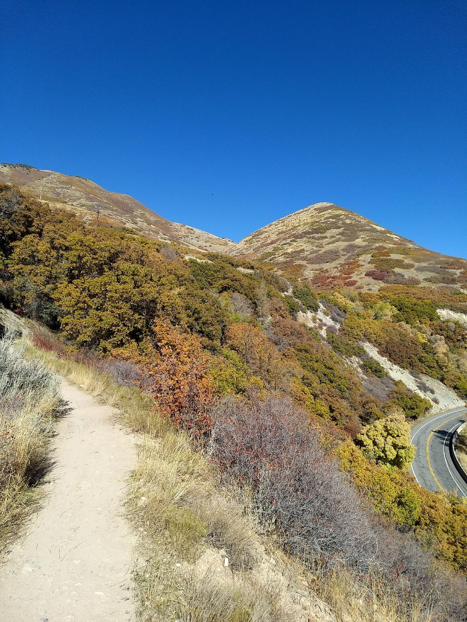
The trail contours around with views up Emigration Canyon as it winds through scrub oak. 15 or so minutes from the trailhead, the trail becomes more vegetated, and a large concrete water tank on the left and pond on the right mark Wagner Spring.
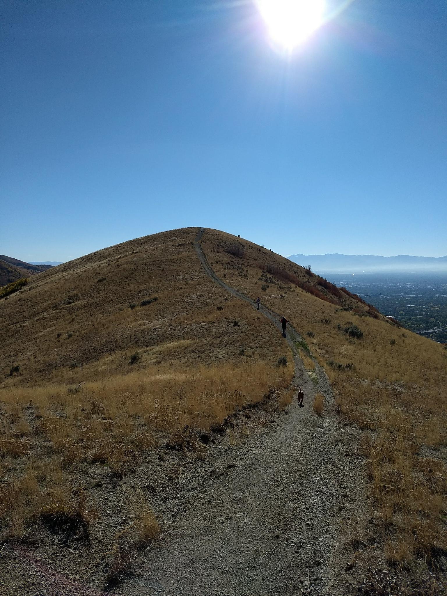
Continuing past the spring, a junction is reached. Stay right, continuing to climb up the drainage. Soon the trail reaches an old pipeline scar. Go right here for just a couple of minutes to the top of the ridge. Go right again at the junction on top of the ridge and follow the old two track a few minutes out to the viewpoint at the end on top of a small hill.
Return the same way.
Maps

12T 431501E 4511411N
40°45'03"N 111°48'41"W
12T 431745E 4511428N
40°45'04"N 111°48'31"W
12T 432118E 4511763N
40°45'15"N 111°48'15"W
12T 432486E 4512249N
40°45'30"N 111°47'59"W
12T 432651E 4512286N
40°45'32"N 111°47'52"W
12T 432501E 4511975N
40°45'21"N 111°47'59"W