Grotto Falls |

Nebo Loop

Hiking Grotto Falls - Nebo Loop Hiking Grotto Falls

Nebo Loop

Overview

RATING: Easy Hike
MAPS: PAYSON LAKES, UT

Wed

Sunny, with a high near 56. West southwest wind 6 to 12 mph.

56 | 35

Thu

A chance of rain after noon. Mostly sunny, with a high near 57. Chance of precipitation is 30%.

57 | 37

Fri

A chance of rain after noon. Mostly sunny, with a high near 56.

56 | 38

Sat

A chance of rain. Partly sunny, with a high near 55.

55 | 40

Sun

Snow. Mostly cloudy, with a high near 41. New snow accumulation of less than one inch possible.

41 | 34

View Full Weather Details
SEASON: Spring through Fall. If visiting in the winter, it requires a longer hike due to winter road closure.
GEAR: Standard Hiking Gear

Wed

Sunny, with a high near 56. West southwest wind 6 to 12 mph.

56 | 35

Thu

A chance of rain after noon. Mostly sunny, with a high near 57. Chance of precipitation is 30%.

57 | 37

Fri

A chance of rain after noon. Mostly sunny, with a high near 56.

56 | 38

Sat

A chance of rain. Partly sunny, with a high near 55.

55 | 40

Sun

Snow. Mostly cloudy, with a high near 41. New snow accumulation of less than one inch possible.

41 | 34

View Full Weather Details
Grotto Falls

Grotto Falls

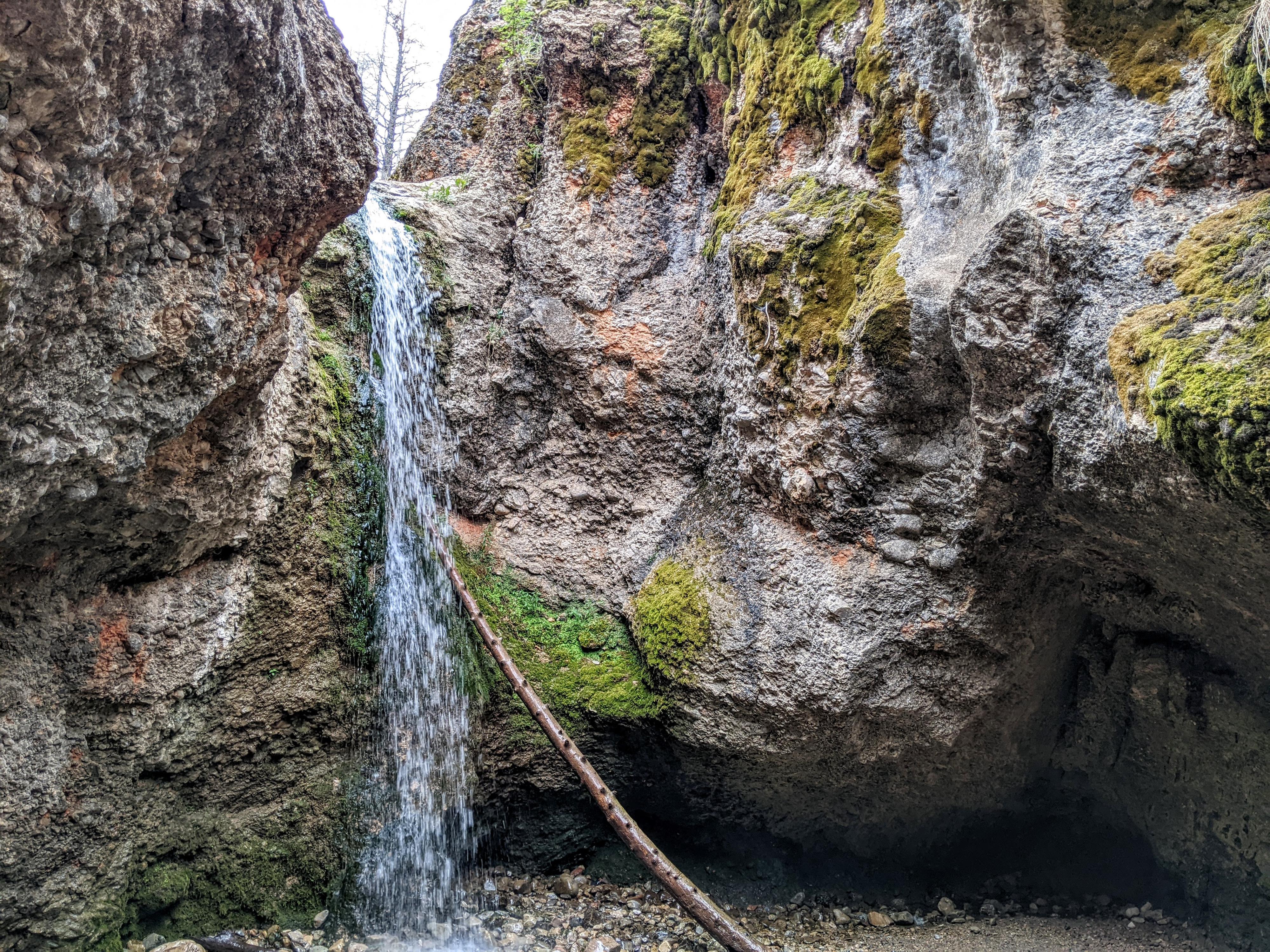
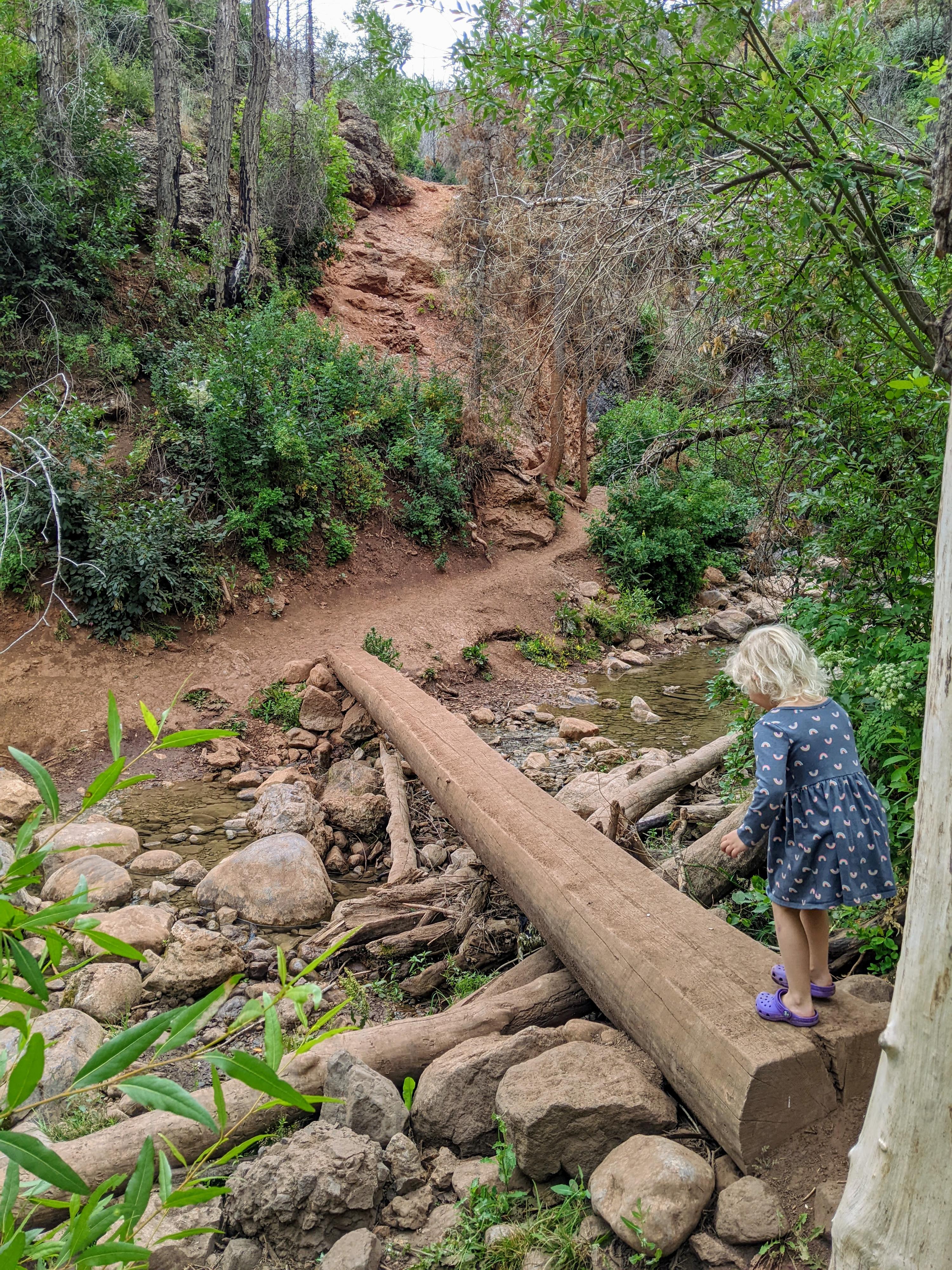
Grotto Canyon, or Grotto Falls, as it is also known, is one of the most popular hikes along the Nebo Loop road. The short hike visits a waterfall that cascades down through a cobblestone layer and forms a bit of a grotto. It is an excellent, albeit short, hike. This is a great hike to do if you are driving the Nebo Loop road. It takes less than a half hour for most groups and is one that young children can do and are likely to enjoy. My 5-year-old, once motivated to start the hike, loved the outing, especially the log bridge stream crossings.

Note: This is a popular hike. Currently, 2022, a parking fee is being considered for the trailhead. If visiting on a weekend, expect crowds and potential difficulty finding a parking spot. We visited mid-morning during the week and had the trail to ourselves.
Walking through the burned forest.

Walking through the burned forest.

Getting There

From the north:

  • Take exit 250 for I-15 toward Payson
  • Go south on Main street for 0.8 miles, then left on 100 North
  • Follow 100 North for about 0.5 miles and turn right on 600 East
  • Go 8 miles on the Nebo Loop road to the trailhead on the right at a sharp bend in the road.

The trail starts across the road from the parking area.

One of the stream crossings.

One of the stream crossings.

The easy wide trail to Grotto Falls

The easy wide trail to Grotto Falls

Route

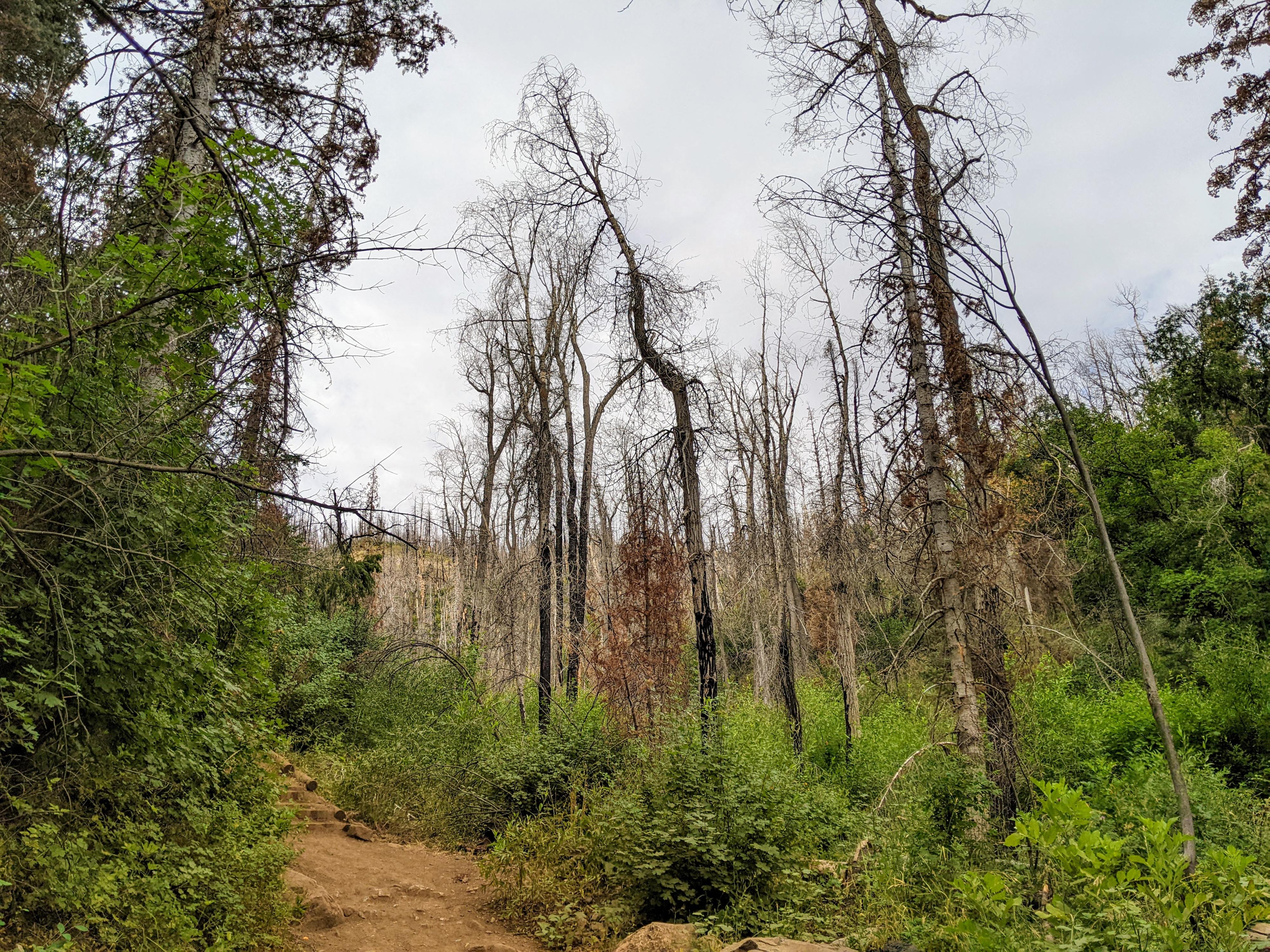
From the parking area, follow the trail Grotto Trail that starts across the road. There are two trails that start from near the parking area, so be sure you are on the one singed Grotto Falls, not the Bennie Creek trail.

Amble up the trail, soon reaching the first stream crossing. There is one junction on the hike, where a trail comes down from the right. Stay left in the canyon bottom here. It is only about 1/4 of a mile to the falls from the trailhead.

Return the same way.

Fire Note: The burned trees along the hike are evidence of the Pole Creek fire that burned a large part of the area in 2018. The forest is re-growing, but will show signs of the fire for many years to come.

Maps

Route / 0.63 miles / Elevation Range 6,332 - 6,463 ft.
Printable Maps:
Trailhead

12S 442284mE 4422599mN

N39° 57' 06" W111° 40' 32"

Jct - Left

12S 442094mE 4422351mN

N39° 56' 58" W111° 40' 40"

Grotto Falls

12S 442114mE 4422261mN

N39° 56' 55" W111° 40' 39"

Comments

Want to make a comment? Login and let yourself be heard.