 Hiking
Upper Black Box Gorge
Hiking
Upper Black Box Gorge
Northern San Rafael Swell
Overview
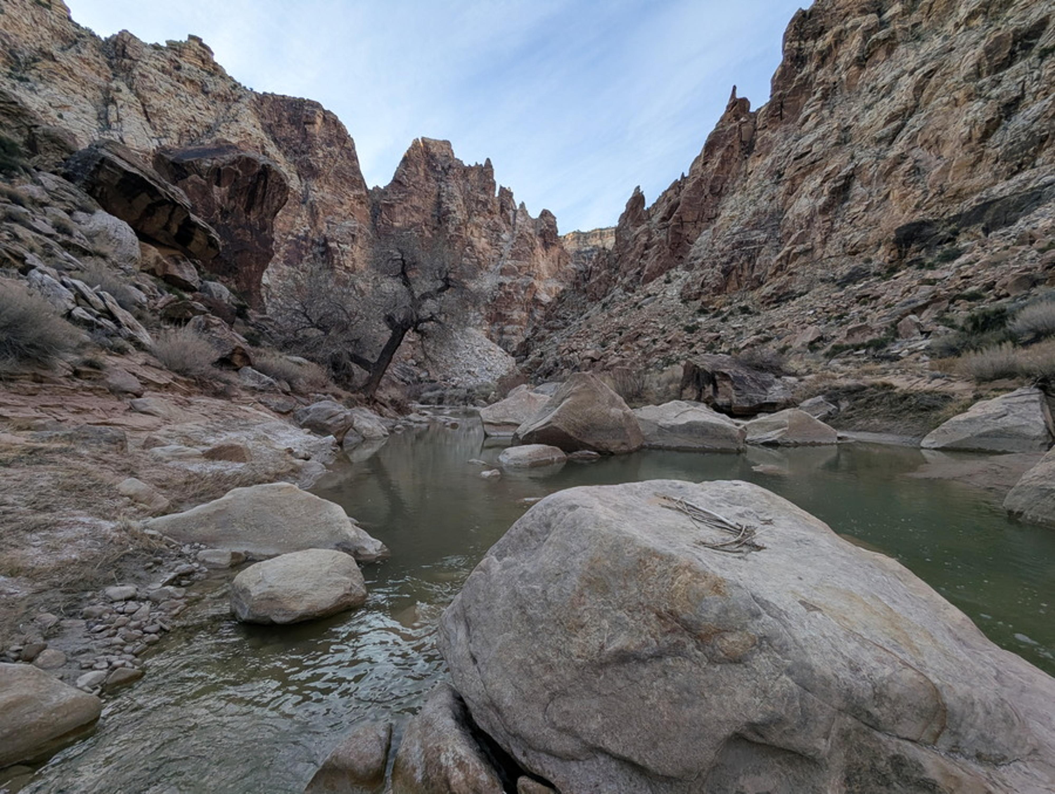
The Upper Black Box is usually thought of as the relatively narrow section just above Mexican Mountain where the San Rafael River goes from one wall to the other and requires constant wading or swimming. It is an amazing adventure!
This section visits the Upper-Upper Black Box via one of the only non-technical entrances to the Upper Black Box between Lockhart Box and Mexican Mountain. This route, entering via an old cattle trail, was traditionally used as the start of the Upper Black Box hike before the technical entrances closer to Mexican Mountain became more well known and often used. If you want to do the iconic section of the Upper Black Box, I would NOT consider using this entrance. From this entrance to the end of the Upper Black Box near Mexican Mountain is a very long, tiring, and strenuous endeavor.
This hike, as an out-and-back, however, is as far or short as you want to make it and visits a wider, deeper section of the Upper Black Box. This section is wide with craggy and steep angled walls. I thought it made a lovely hike, especially in the early spring when the river was crystal clear from the lack of storms over the winter.
Getting There
The trailhead starts at the end of the Mexican Mountain road. To get to the Mexican Mountain road, which is near the San Rafael Campground, depends on where you are coming from. Once at the campground, the Mexican Mountain road is on the north side of the river, and well signed just before the cattleguard. (This is also part of the campground.)
Route Description
To the River (30-45 minutes)
From the parking spot along the Mexican Mountain Road, look south for a dead juniper tree with some other limbs leaning up against it a couple of hundred yards out. It is a good landmark to make sure you are in the correct spot, but with a GPS, it is an easy approach.
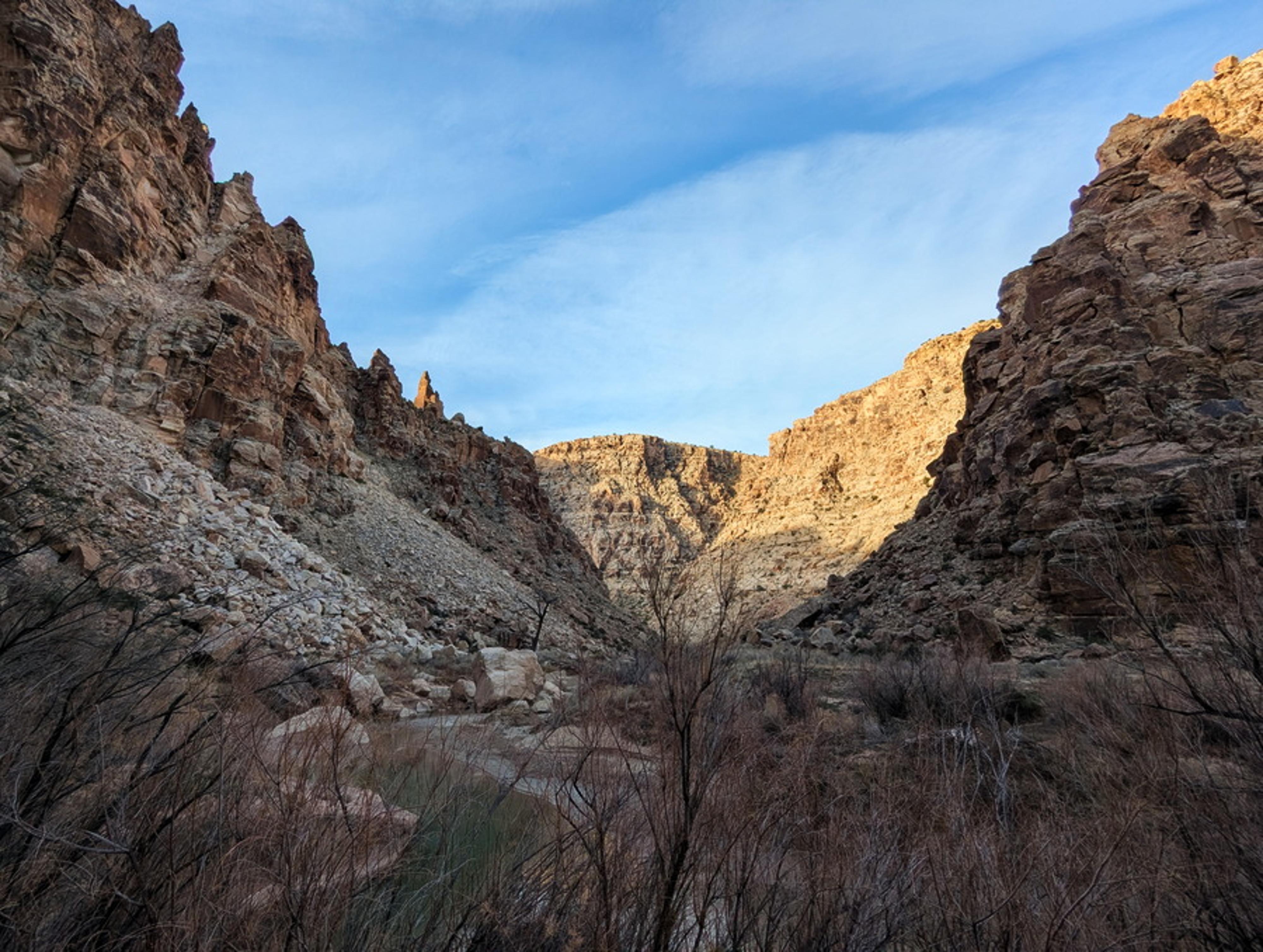
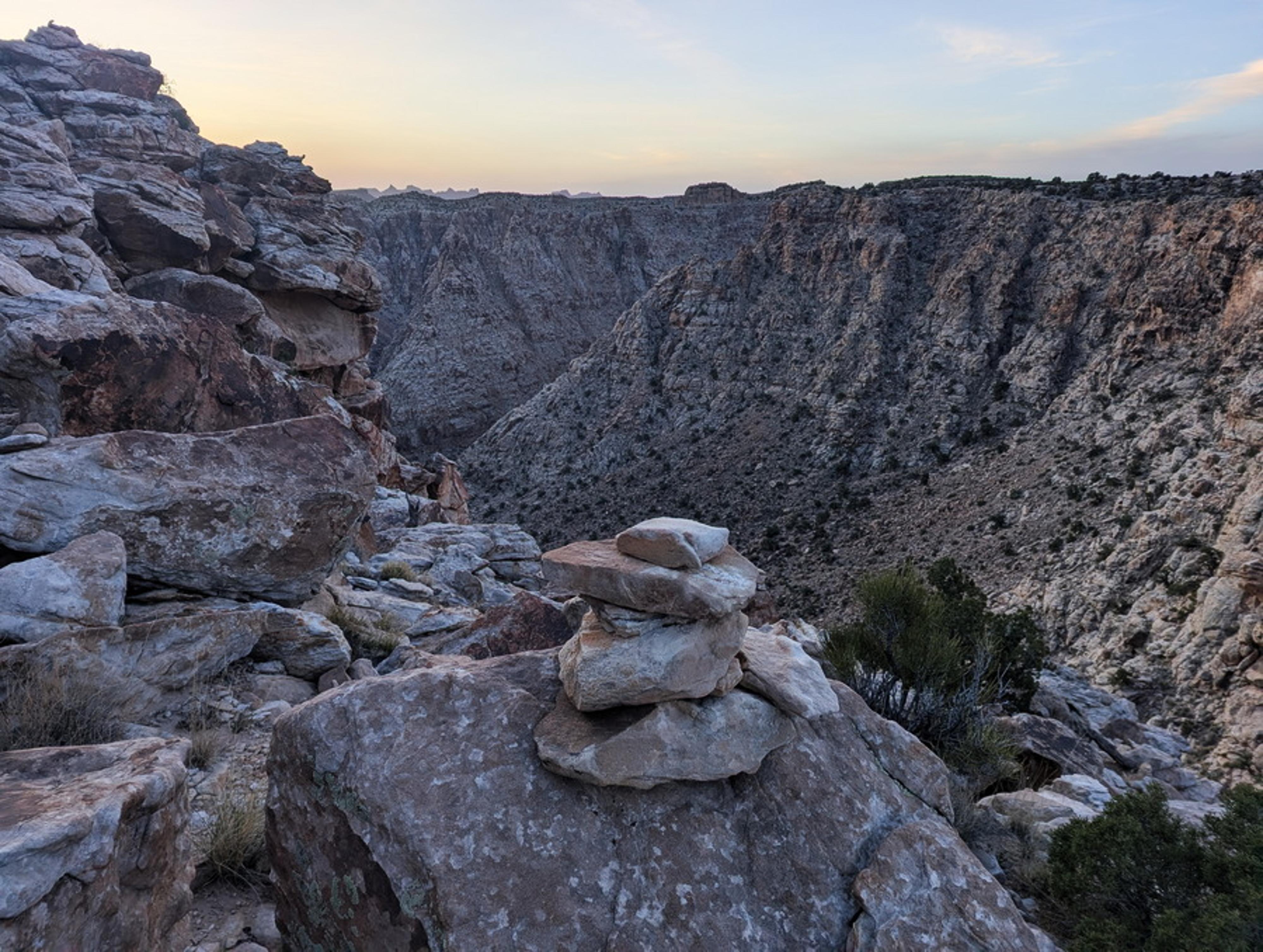
Head to the dead juniper, then southeast toward the jagged eastern reef in the far distance. About 1/3 of a mile from the trailhead, you will intersect a fairly shallow drainage. Go down it, likely encountering a few sporadic cairns as you go. The drainage ends overlooking the gorge and San Rafael River below. There are cairns here to mark the old cattle trail.
The trail angles down and right through the steepest section. Once off the rim, take whatever route to the river looks easiest. There are some cairns in spots that follow the old trail, but in some spots there are several paths.
Along the River
Once at the river, you can hike in either direction.
Up is fairly brushy for about 1/4 of a mile before it relents and becomes easier going.
Down is less brushy from the start but gets more boulders and rock hopping the further you go.
If going down, depending on river flows, you can make it about 2 miles before needing to either boulder hop across the river or get your feet wet. It is impressive to me to see the occasional old cottonwoods along the river. They must occasionally endure some massive flash floods. The section is also littered with deep pools and large boulders in the river.
Return the same way.
Photos
Maps

12S 539163E 4318191N
39°00'43"N 110°32'52"W
12S 539239E 4318193N
39°00'43"N 110°32'48"W
12S 539298E 4318053N
39°00'38"N 110°32'46"W
12S 539780E 4317441N
39°00'18"N 110°32'26"W