 Hiking
Old Power Plant Trail
Hiking
Old Power Plant Trail
Little Cottonwood Canyon
Overview
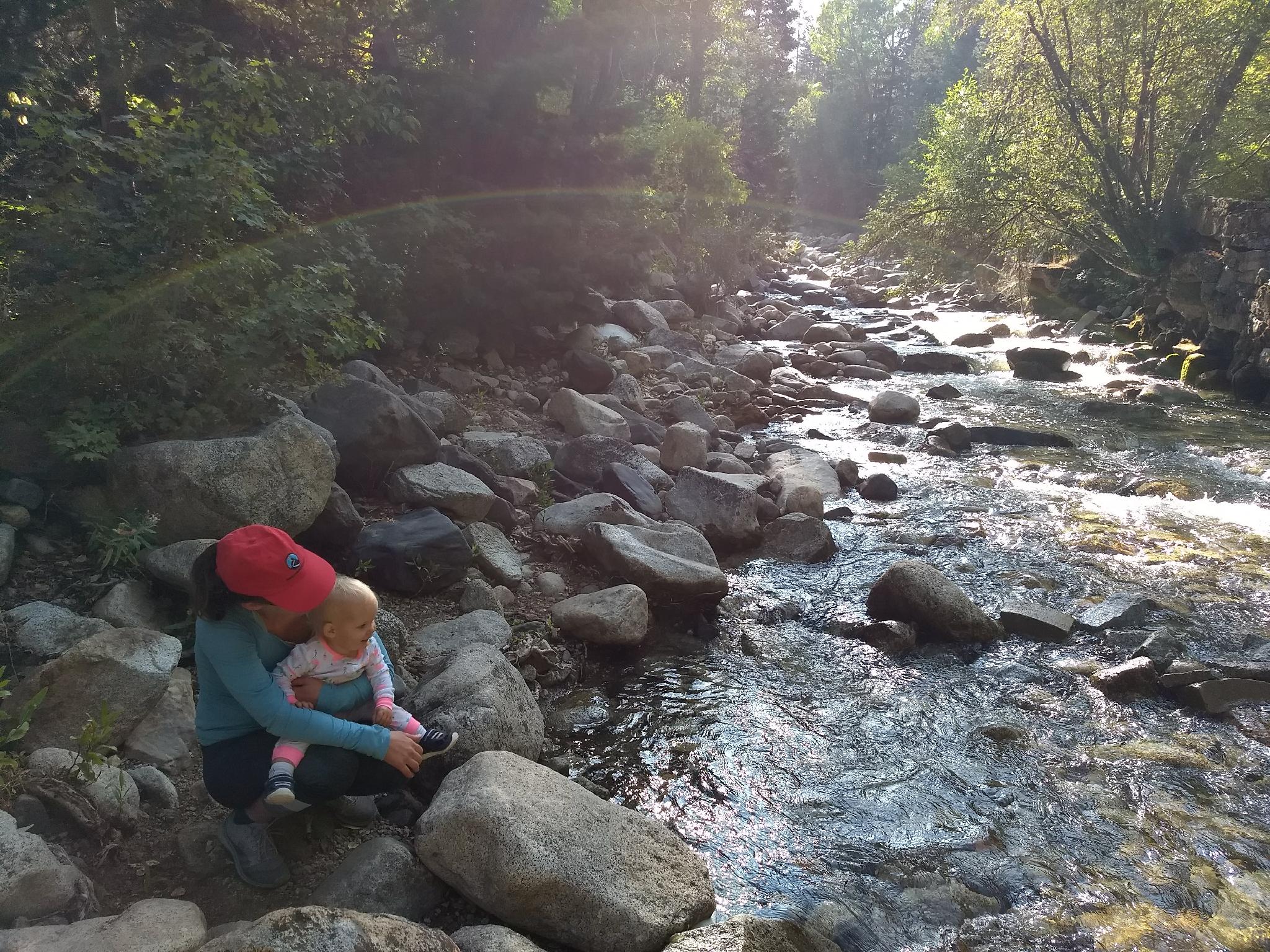
This hike surprised me by turning out to be one of the more interesting short hikes I have done in Little Cottonwood Canyon. We were expecting a short morning jaunt to an old foundation or two. Instead, we took a lovely amble to a fascinating old power plant.
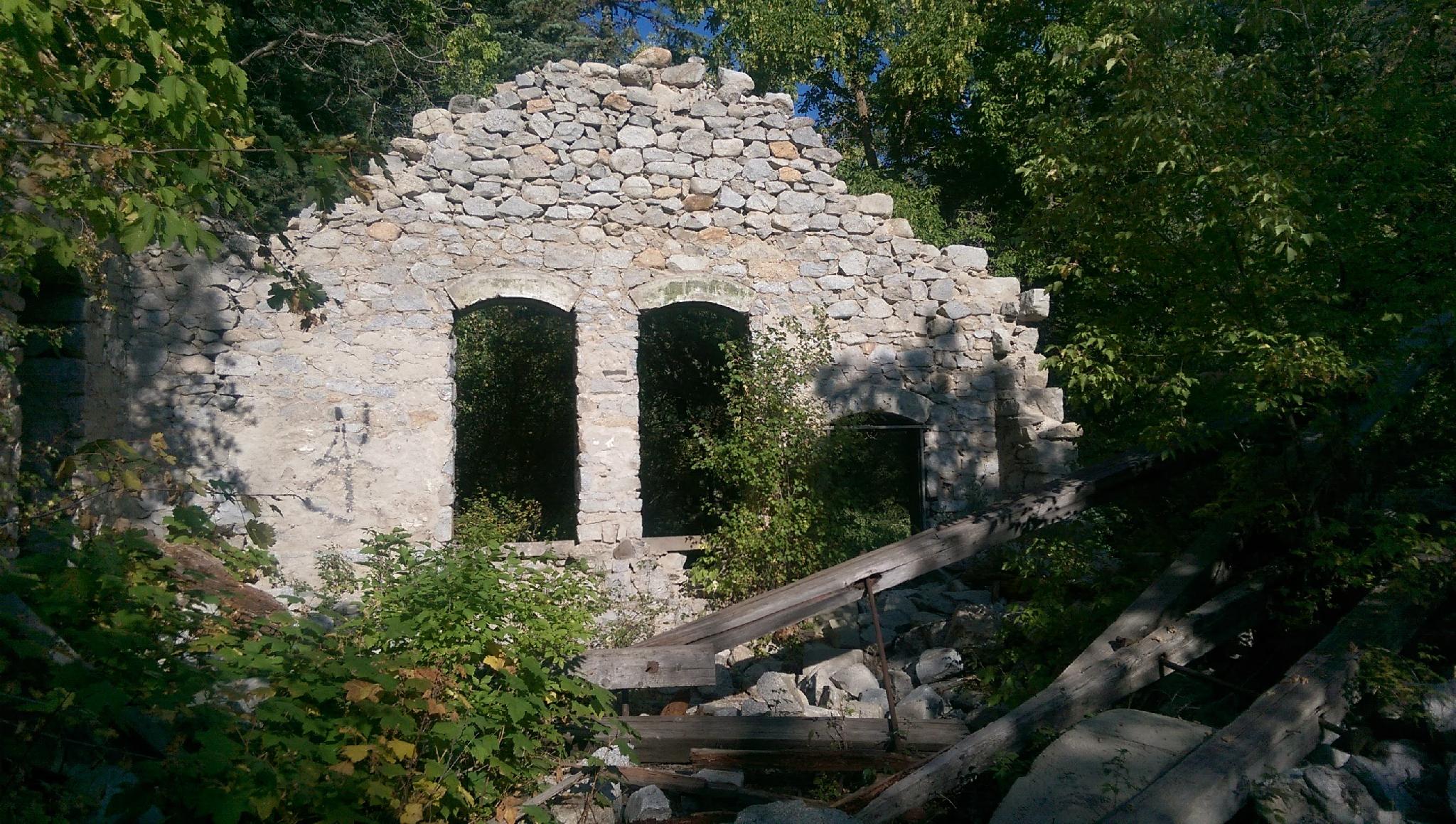
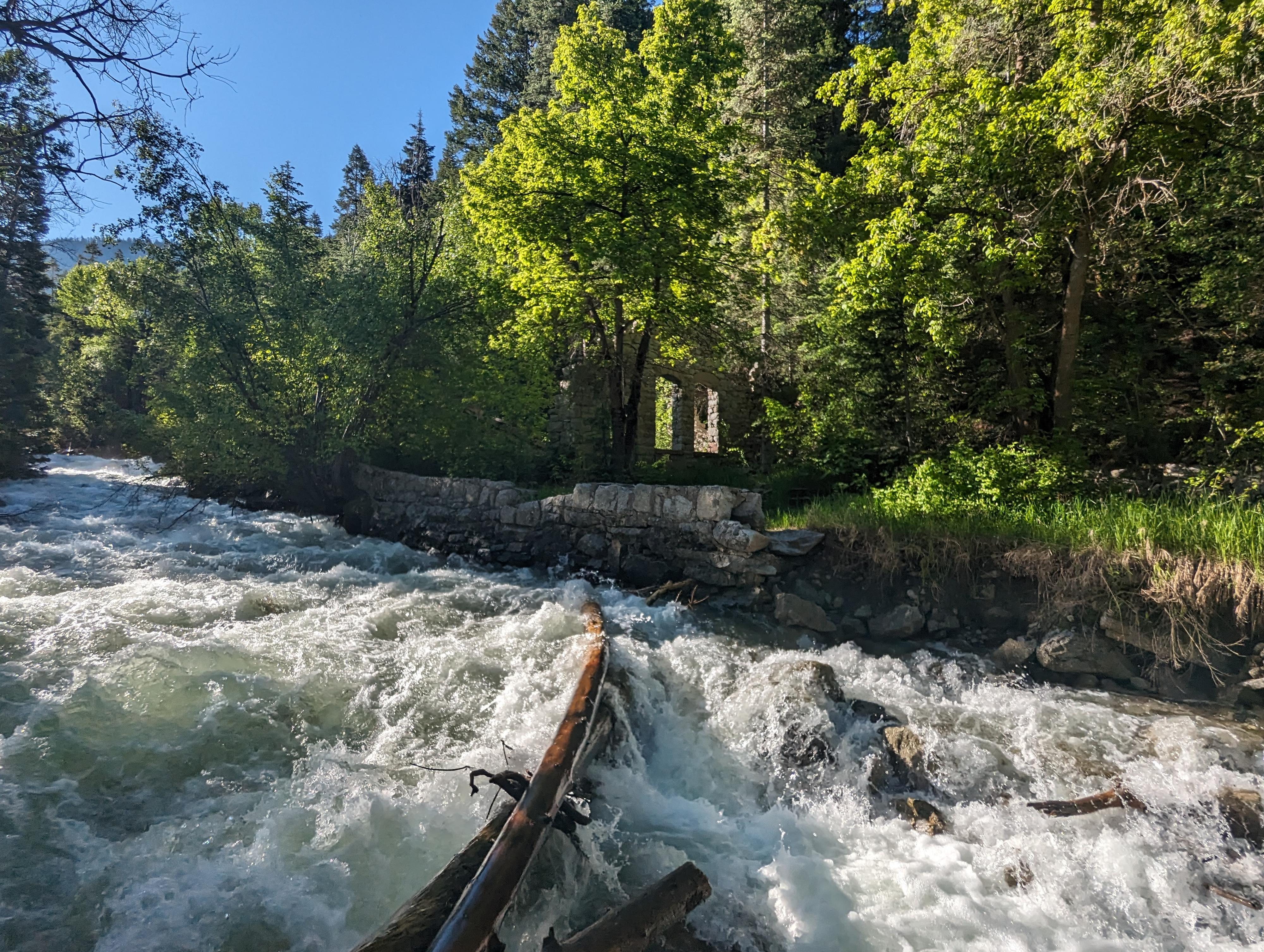
The plant, called Columbus Consolidated Power Plant, has been reduced to a few granite walls and foundations by the ravages of time. It was built in 1903/1904 to provide power to the growing town of Alta, a few miles up the canyon. By the mid-1900's the plant was abandoned, leaving the plant to decay along Little Cottonwood Creek. Today, the ruins are like something out of an older world with the old style granite block construction, situated next to the cool babbling waters of Little Cottonwood Creek.
The hike can be done as a casual 1.5 mile out and back, suitable for most, even young children, and is the way most people visit. If you want to stretch the legs a bit more, continue up to Tanner Flat Campground for a great 3.5-ish mile out and back that is much less busy than the lower section to the plant.
Getting There
Little Cottonwood Canyon is on the east side of the Salt Lake City Valley. Get there by following I-215 to the east, taking exit 6 off the interstate and heading east toward the mountains.
Follow 6200 South which becomes Wasatch Blvd for 1.8 miles to the stop light and signs for Big Cottonwood Canyon. Continue south (straight) through the light an additional 2.3 miles to a junction and light. Stay left here, reaching the mouth of Little Cottonwood Canyon in an additional 1.6 miles.
The trailhead is 2.8 miles up from the mouth of the canyon, with a dirt parking area on the right hand side of the road on a curve. The parking area on the left hand side of the road is the Lisa Falls Trailhead.
Route Description
To The Power Plant Ruins (0.8 miles / 20-30 minutes one way)
From the parking area, follow the wide Little Cottonwood Canyon Trail downhill. At the bottom of the hill, a junction is reached. Right goes down to the mouth of the canyon. Go left instead, staying on the wide old road as it meanders up the canyon.
A prominent side trail goes off on the right a few minutes from the first junction. Stay left, continuing to the old plant.
To Tanner Campground (1 mile / 30 minutes one way from the ruins)
The trail continues past the ruins, rockier and narrower than below. Continue along the rock path past the ruins of an old car.
The trail meanders around through the forest, passing some very impressive trees along the way. At a junction, stay left. The right trail is closed for restoration.
Soon, the roar of highway traffic increases as you near the Tanner Flats Campground. Return the same way.
Photos
Maps

12T 438492E 4491524N
40°34'20"N 111°43'36"W
12T 438576E 4491430N
40°34'17"N 111°43'32"W
12T 438960E 4491412N
40°34'16"N 111°43'16"W
12T 439303E 4491337N
40°34'14"N 111°43'01"W
12T 439826E 4491252N
40°34'11"N 111°42'39"W
12T 440629E 4491351N
40°34'15"N 111°42'05"W