
 Mirror Lake
Western Uintas
Overview
|
Fri 34 | 18 |
Sat 36 | 22 |
Sun 34 | 28 |
Mon 33 | 24 |
Tue 36 | 20 |
| View Full Weather Details | ||||
|
Fri 34 | 18 |
Sat 36 | 22 |
Sun 34 | 28 |
Mon 33 | 24 |
Tue 36 | 20 |
| View Full Weather Details | ||||
Mirror Lake, the namesake of the Mirror Lake Highway, is arguably one of the most popular and visited lakes in the Uinta Mountains. The lake has both day use areas as well as 94 campsites reservable on recreation.gov.
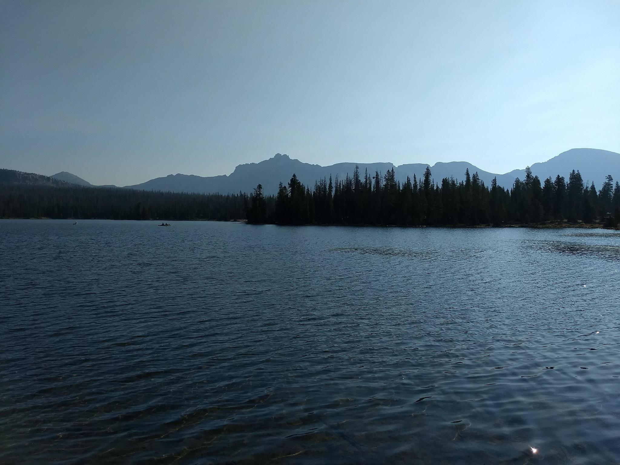
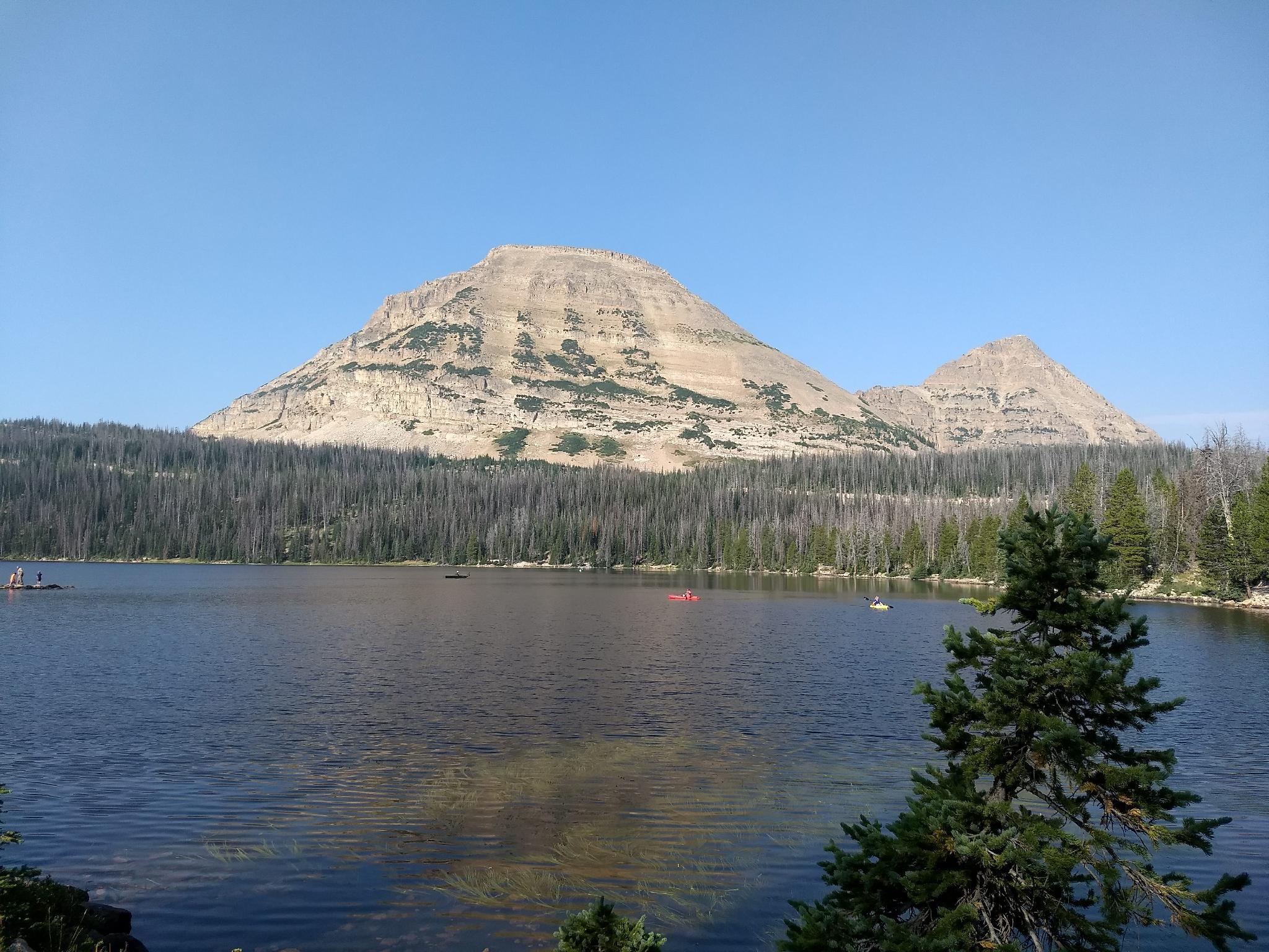
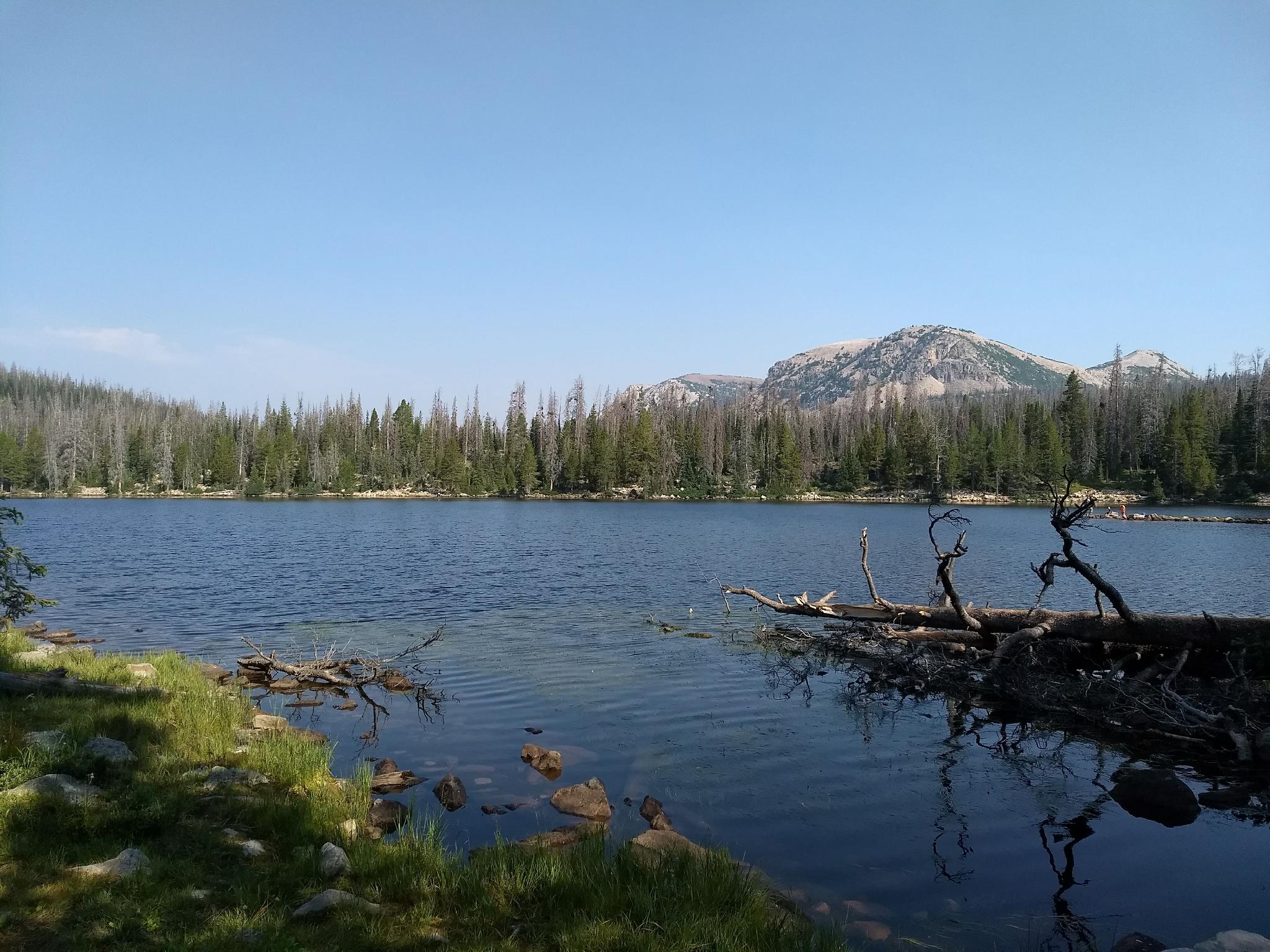
The popularity of the area is for a good reason, and I wouldn't let crowds deter you from stopping by. The lake is located at just over 10,000 ft in elevation and has a glassy surface that reflects Bald Mountain and the other surrounding peaks in its clear waters. On any given summer weekend, the shore will be dotted with fisherman trying to catch rainbow, brook, and tiger trout, while the surface of the lake will be dotted with recreationists in inflatable boats, canoes, and stand up paddle boards.
Taking the 1.5-mile loop around the lake is my top recommendation. Bring a picnic; there are many great spots along the lakeshore to have lunch!
Getting There
The trailhead is off of the Mirror Lake Highway at milepost 31.3. This is 31.3 miles out of Kamas, UT on UT-150. This is also about 46 miles south of Evanston Wy on the Mirror Lake Highway.
A well signed paved side road leads down to the lake, day use are, trailhead, and campground.
Route
As you enter the Mirror Lake area, take the first left to the signed picnic area. There is a toilet there and a parking lot next to the lake.
The Lakeshore Trail starts from here and follows the lake shore 1.5 miles around and back to the parking lot. The significant peaks that surround the lake are:
- To the west and south-west are Bald and Reids Peaks. These are the two most striking peaks in the foreground.
- To the north-west are Mount Marsell and the long ridges leading up to it.
- To the northeast and east is a significant ridgeline containing Mount Hayden and Mount Agassiz
| Mirror Lake Trailhead |
12T 509515E 4505554N 40°42'03"N 110°53'15"W |
| Highline Trailhead |
12T 509844E 4505473N 40°42'00"N 110°53'00"W |
| Campground Jct |
12T 509894E 4506177N 40°42'23"N 110°52'58"W |
| Bonnie Lake |
12T 510334E 4506577N 40°42'36"N 110°52'40"W |


