
 Little Sahara Recreation Area
Delta
Overview
Little Sahara Recreation Area is an area that is well known to sand dune riding enthusiasts. The recreation area is situated in the West Desert, about 35 minutes west of Nephi, Utah. Though remote, this is an ATV, dirt bike, and dune buggy metropolis on busy weekends such as Easter, Memorial Day, and Labor Day. On the busiest of weekends, the recreation area can attract over 20,000 visitors. I thought 20,000 was an incredible number, and then I realized the entire population of Juab County, where it is located, is only about 11,000 people, making it even more incredible!
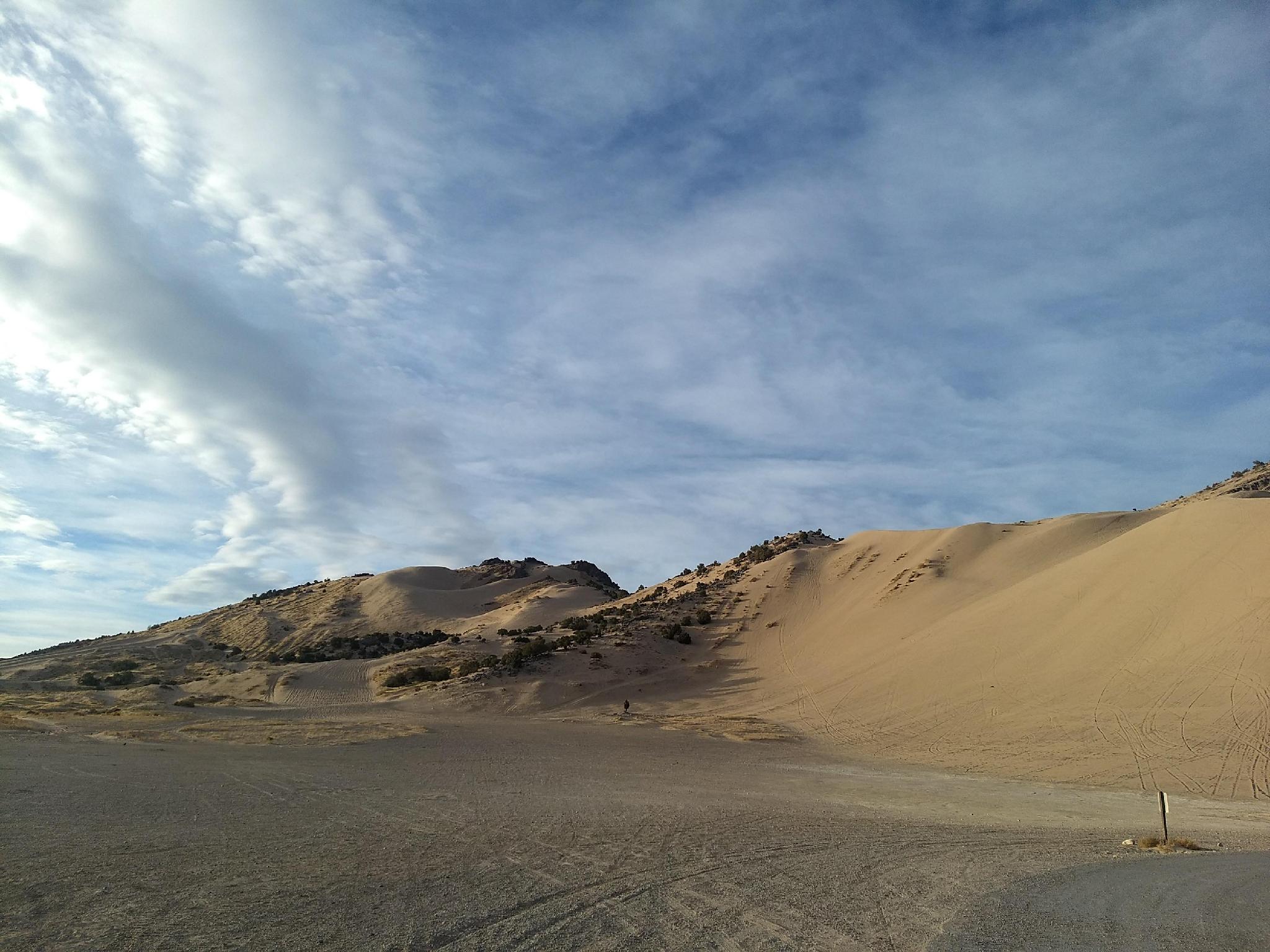
For the motorized crowd, the recreation area has very diverse riding. From dirt trails around Black Mountain to the White Sand Dunes in the northern end of the Recreation Area to the imposing 700' tall Sand Mountain, there is something for everyone.
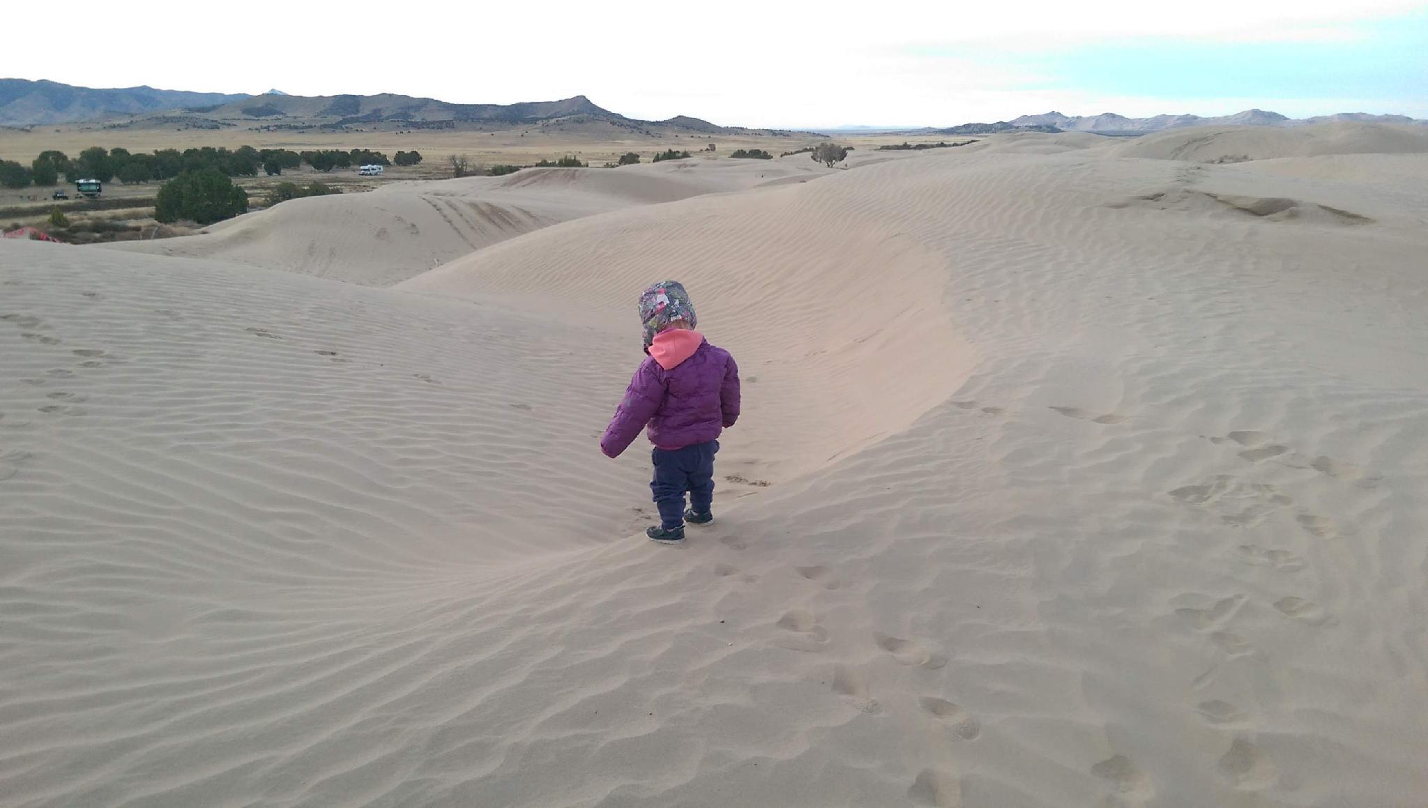
Not of the motorized crowd? We visited on foot and enjoyed the day immensely. White Sands Camping area has a small (about 2 acre) space set aside for non-motorized use that is great for kids and families to play on. Jericho Picnic area, toward the south end of the Recreation Area, has a larger 22+ acre area set aside for non-motorized use, with plenty of big sand hills to run up and down. On the west side of the Recreation Area is a 9,000-acre non-motorized area as well, but it is more difficult to access.
Getting There
From Delta
The recreation area is about 40 minutes north of Delta. From the east side of Delta, go north on US-6 32.1 miles to Rte 1812, on the left. This is signed Sand Dunes. Follow this paved road 4.5 miles, and turn left to the signed Little Sahara Recreation Area.
From I-15
The fastest way from I-15 is from Nephi, UT. From downtown Nephi, go west on UT-132 for about 13 miles, then turn off to Rte 1812 on the right. This crosses US-6 after about 9 miles, and reaches the Little Sahara Recreation Area turn off after 13.8 miles.
Once inside the park, an excellent visitor center is available on the right to get a park map and current information.
Route Description
My recommendation is to travel from the visitor center south to Sand Mountain, then move back north being sure to visit the Jericho Picnic and White Sands Camping area to see the different dunes. There aren't any designated hiking trails in the Recreation Area.
Camping is excellent, with lots of sites for either trailer parking, or smaller spots for tent camping. Water, restrooms, and picnic tables are available in quite a few places in the Recreation Area as well.
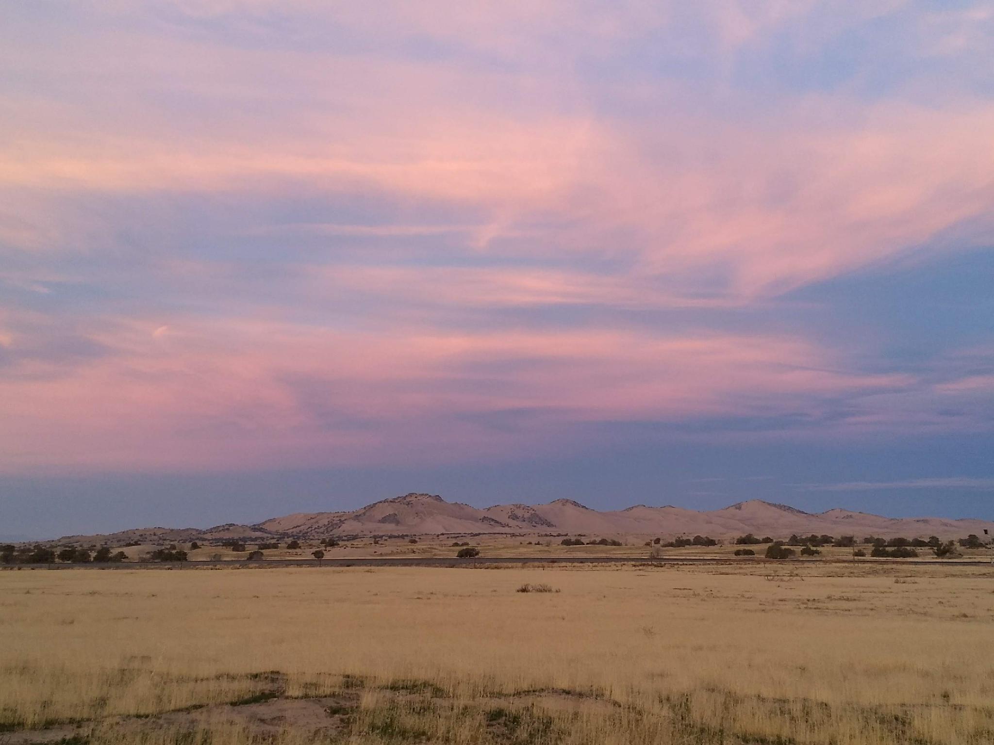
Photos
Maps

12S 387995E 4398164N
39°43'34"N 112°18'25"W
12S 387198E 4399891N
39°44'29"N 112°18'59"W
12S 382589E 4393885N
39°41'12"N 112°22'09"W
12S 380640E 4388665N
39°38'22"N 112°23'28"W