
 Hiking
Glacier Trail
Hiking
Glacier Trail
Great Basin National Park
Overview

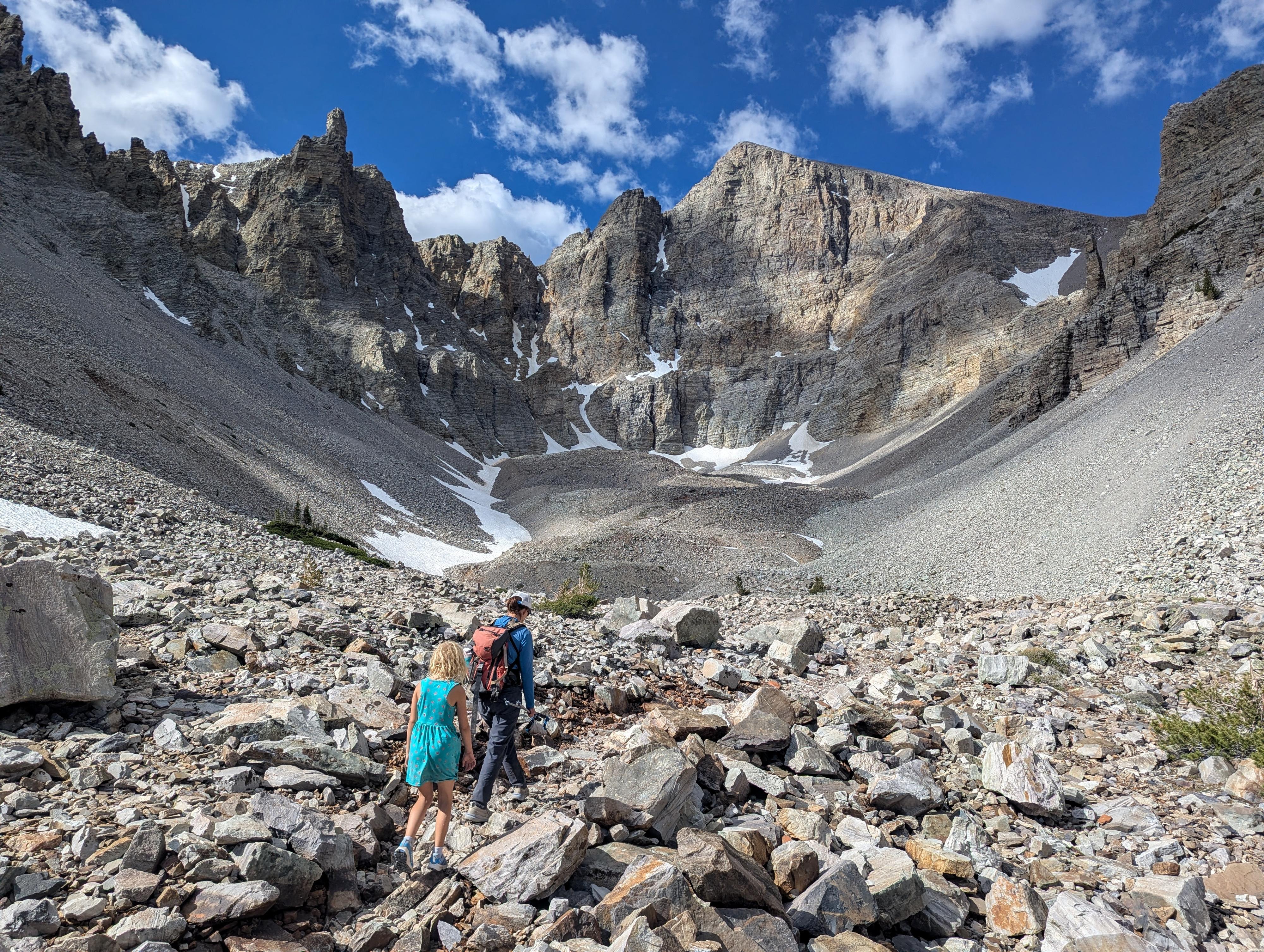
Tucked beneath the massive 2,000-foot north face of Wheeler Peak, the Glacier Trail visits one of the most dramatic alpine cirques in the Great Basin. This was, by far, my favorite hike in the park. The scenery is excellent from the start, but once in the valley heading up to the glacier, it is incredible!
The route is a bit under 5 miles round-trip. We started relatively early on our visit and had the trail mostly to ourselves until the hike out. Though rocky and at high elevation, our 9-year-old loved it, and we saw many families with younger children heading up on our way out. I would call it family-friendly if your family is up to the distance.
In the 1880s, USGS surveyor Adolph Eimbeck documented a 1,500-foot-long field of solid blue ice filling the cirque. By the mid-20th century, glaciologists confirmed active crevasses (bergschrunds) beneath the peak, proving the ice was still thick enough to flow under its own weight.
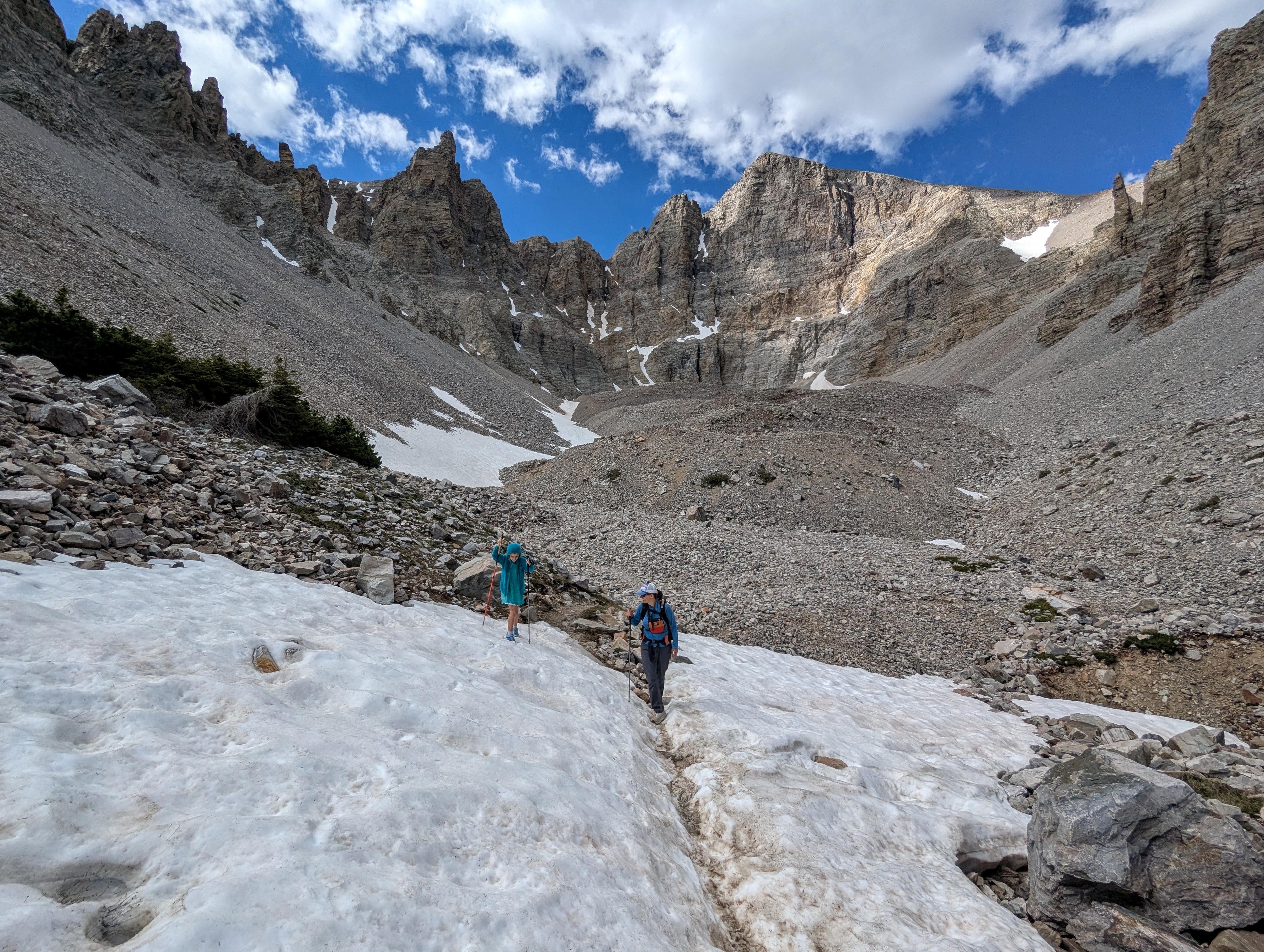
In recent decades, warming trends have significantly reduced the surface ice. Today, it is functionally classified as a rock glacier - an amalgamation where glacial ice exists primarily inside the interstitial spaces between a massive, slow-moving matrix of fallen boulders and talus. Geologists estimate the remaining active ice covers just over 2 acres and could disappear within a few decades.
Getting There
The trailhead is the Bristlecone Trailhead at the end of the Scenic Drive in Great Basin National Park. To get there, from downtown Baker, Nevada, head west on Lehman Cave Road (signed for Great Basin National Park) for about 4.8 miles, where you will turn right to follow the Scenic Drive up past the Lehman Creek campgrounds. This junction is right after entering Great Basin National Park.
Follow the scenic drive to its end in about 12 miles. Just before the Wheeler Peak Campground, there is a large parking area on the left that is the trailhead.
Route Description
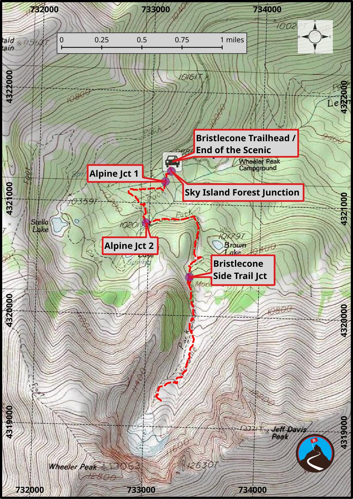
From the parking area, cross the scenic drive to the trailhead across the road. It has a large sign and is just before entering the campground.
Follow the trail just a few minutes to a junction. Left goes to the short Sky Forest ADA trail. Stay straight instead.
In just a few minutes more, the first Alpine Lakes trail junction is reached. Stay left here. About 3/4 of a mile from the trailhead, the second Alpine Lakes junction is reached; stay left again.
From here, the trail climbs and heads east before rounding a corner and heading south up into the valley that has the Bristlecone Grove and the glacier. The views are stunning as the trail turns up into this valley.
Keep on the trail; it has one switchback before ambling a bit farther to the Bristlecone Grove side trail on the left. The trail is short and meanders through the grove with informational signs. Worth the side trip, it rejoins the Glacier Trail in a short distance.
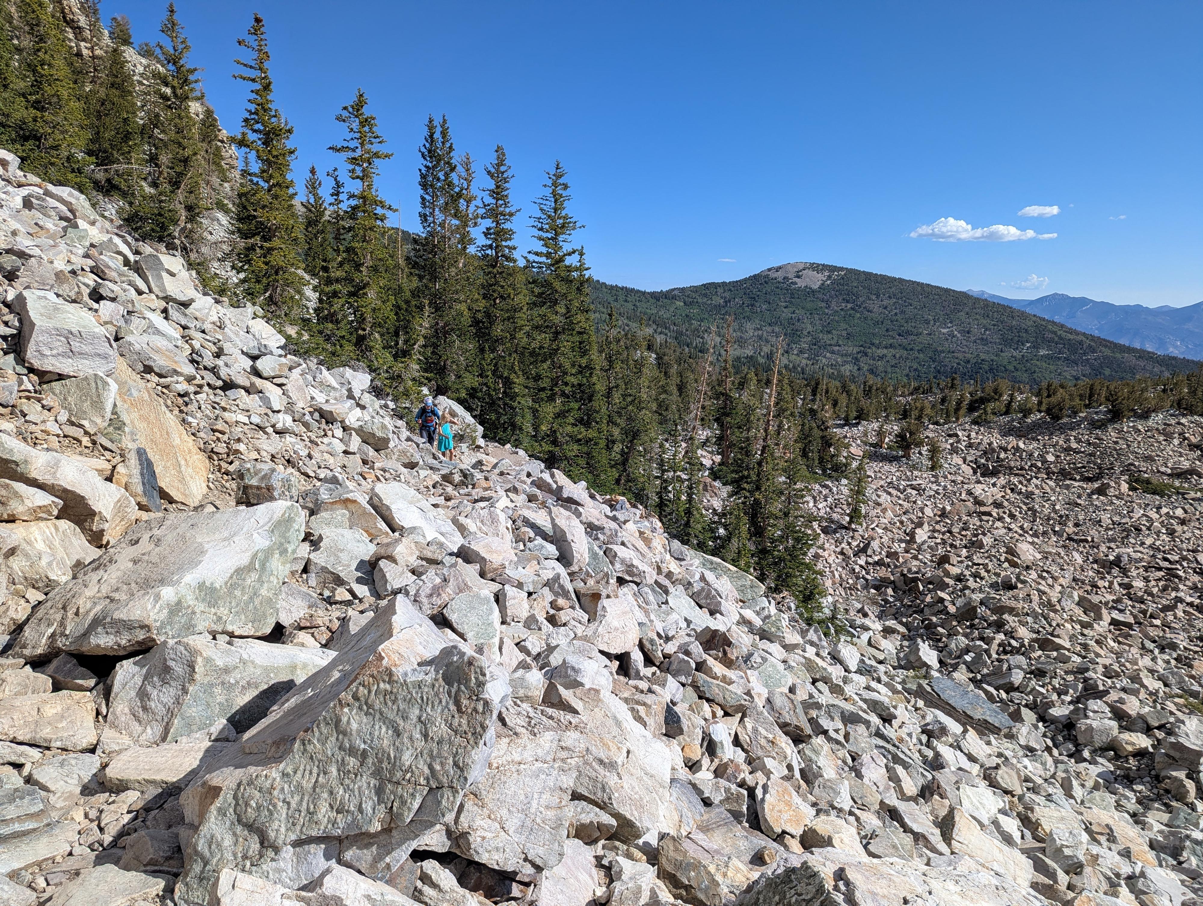
Continuing up, the trail becomes more rugged as it meanders up the rocky valley bottom. On our visit, there were patches of snow and ice along the trail, with the trail ending a bit below the headwall of the valley. Snow and ice are, generally, retreating each year, so the trail may be longer than our stopping point in the future.
Return the same way.
Maps
11S 733190E 4321374N
39°00'37"N 114°18'25"W
11S 733185E 4321288N
39°00'34"N 114°18'25"W
11S 733134E 4321195N
39°00'31"N 114°18'27"W
11S 732972E 4320822N
39°00'20"N 114°18'34"W
11S 733376E 4320346N
39°00'04"N 114°18'18"W