
 Hiking
Behind Perrine Coulee Falls
Hiking
Behind Perrine Coulee Falls
Twin Falls
Overview

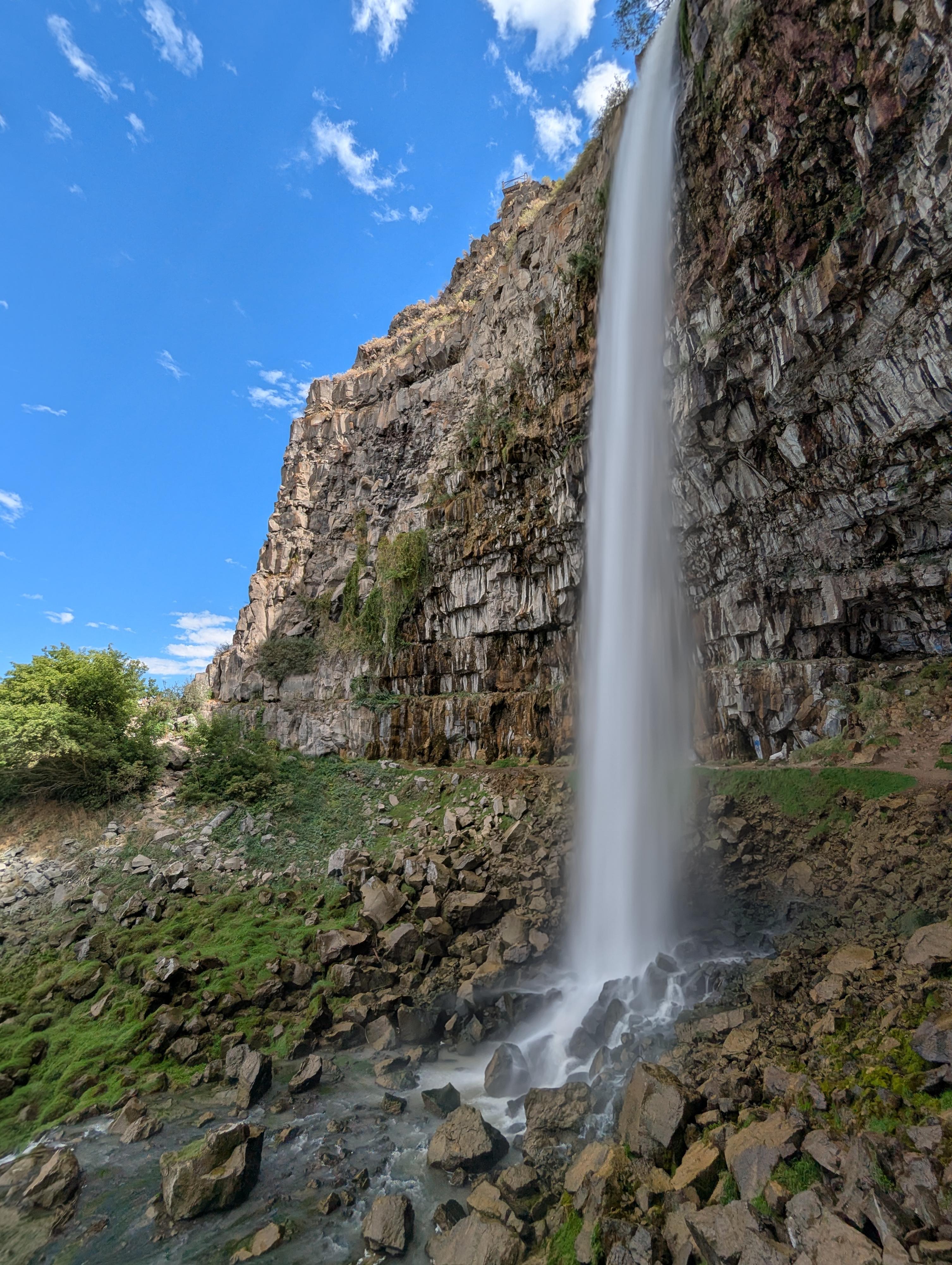
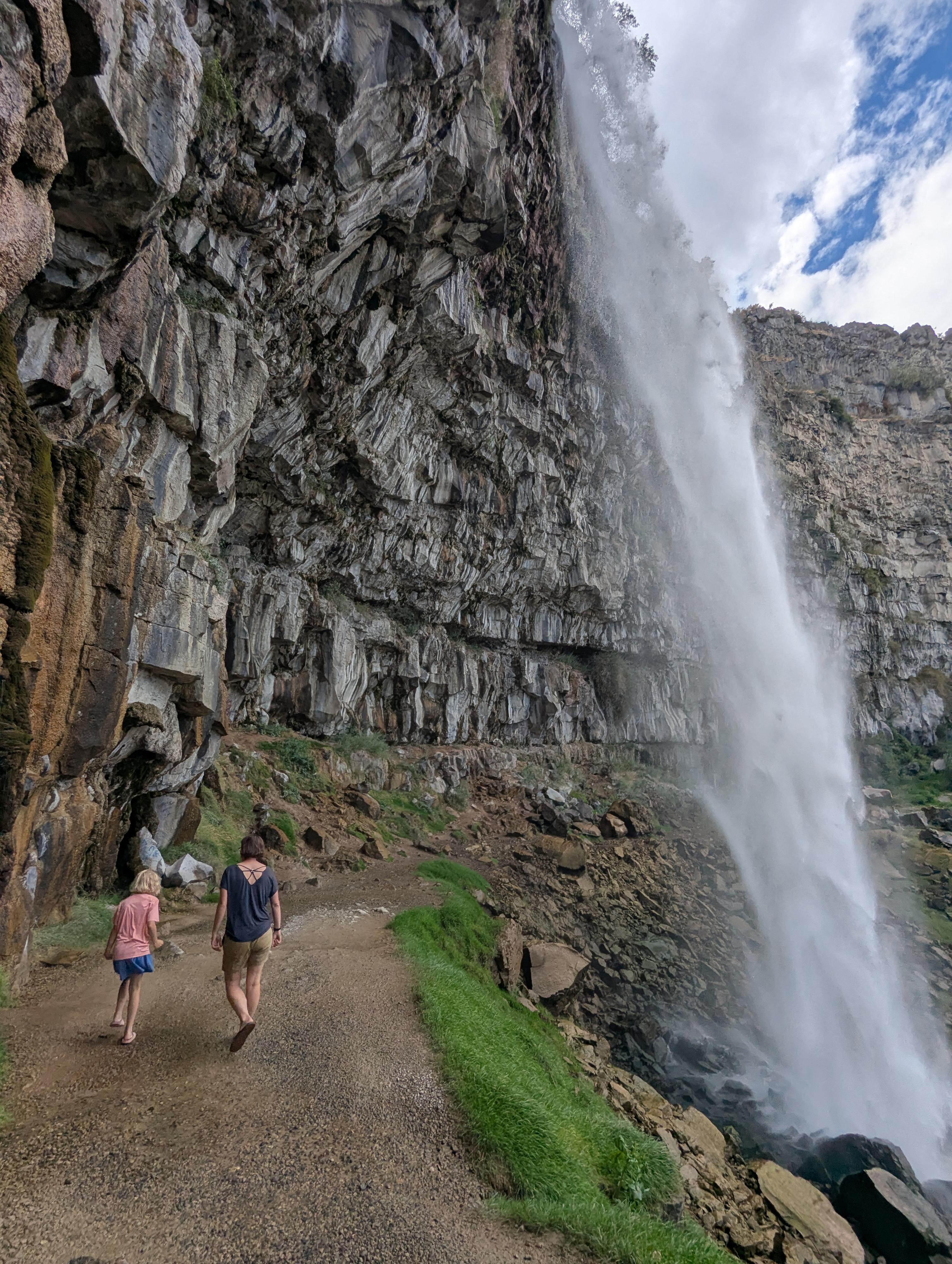
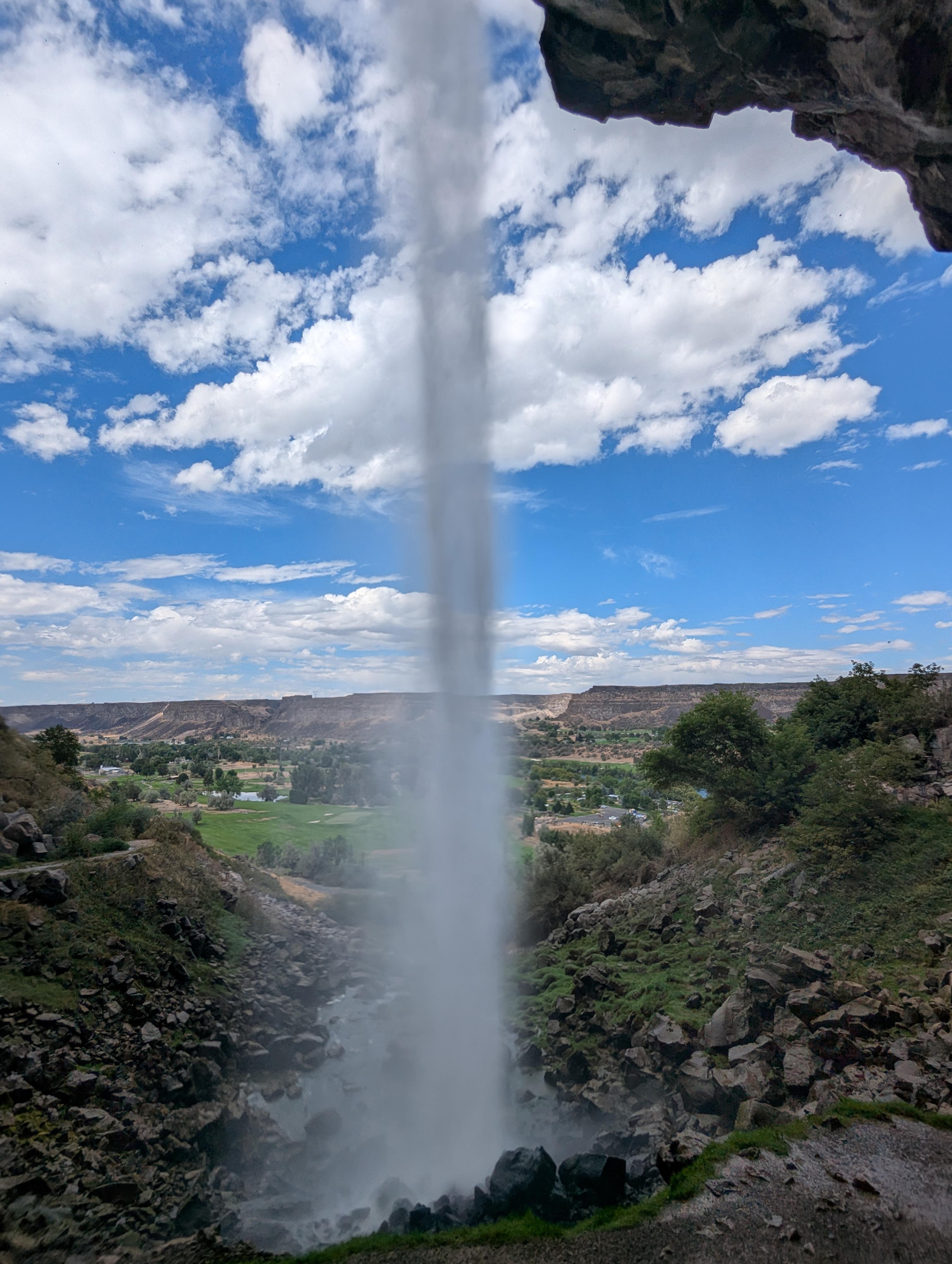
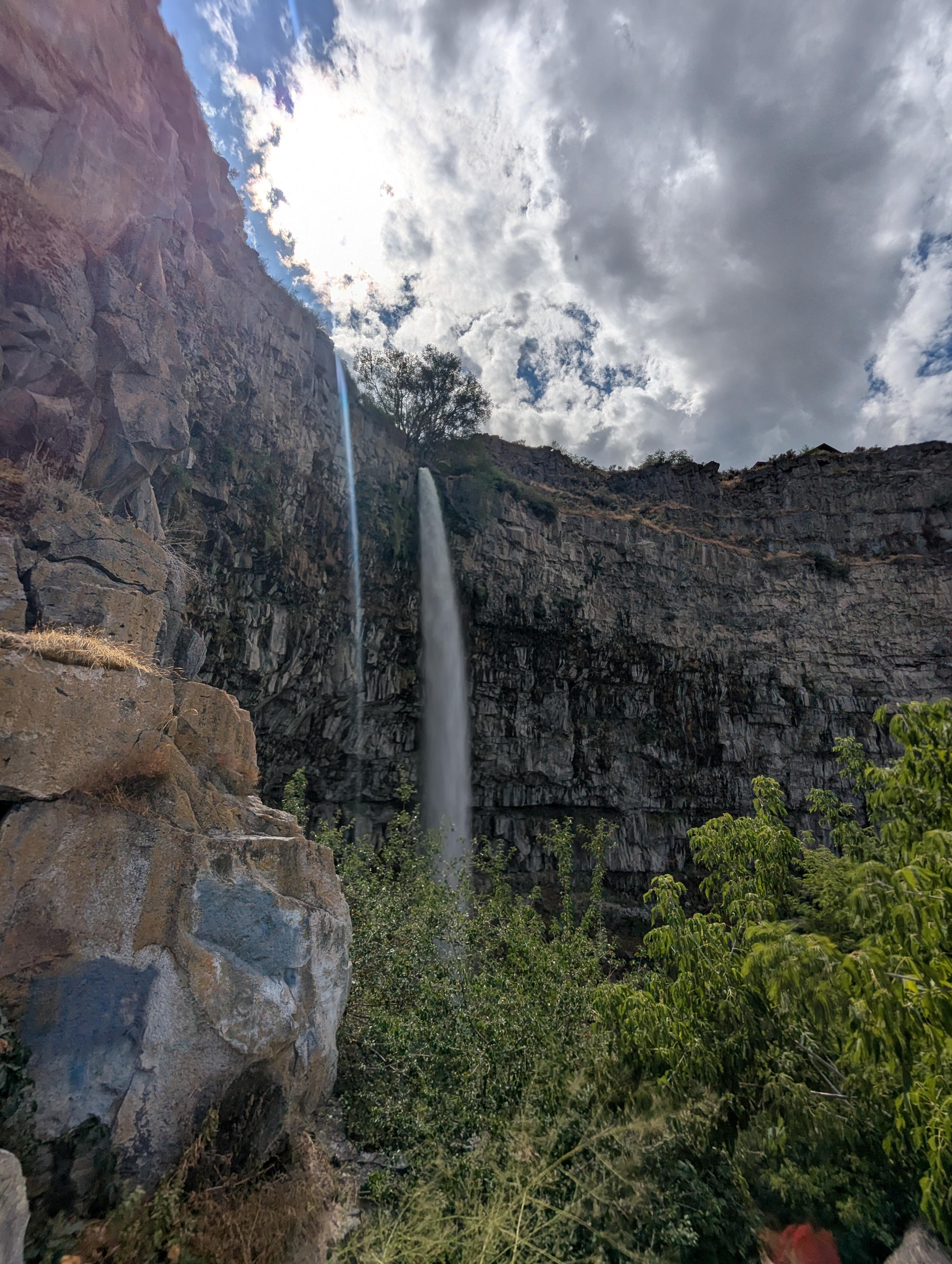
Perrine Coulee Falls is the 200-foot dramatic waterfall that is near the road as you descend to Centennial Waterfront Park. There is a really short unofficial trail that leads to behind the falls. Though short, I thought this was one of the neatest things we visited in Twin Falls. Perrine Coulee Falls, at least on our late summer visit, was flowing powerfully, and walking behind it was really neat.
If you're visiting Twin Falls, this short hike tops my list of must-do things.
Getting There
The put-in is at Centennial Waterfront Park. When coming into Twin Falls from US-93, cross the Perrine Bridge.
About 1/2 mile after the bridge, turn right onto Canyon Springs Road. This is on a bend, BEFORE US-93 turns due south.
Follow Canyon Springs road for about a mile. It heads north, then west and then descends down ito the canyon. As it descends into the canyon, a wide shoulder allows parking just before a hairpin turn. This is the trailhead, though it is easier to go to the bottom of the hill first, turn around, and park on the way back up when you are on the same side of the road as the parking.
Route Description
From the parking area, walk down to the curve and find the trail going through the concrete barriers. The trail is rocky but not overly difficult. It is just a few minutes from the trailhead to behind the waterfall.
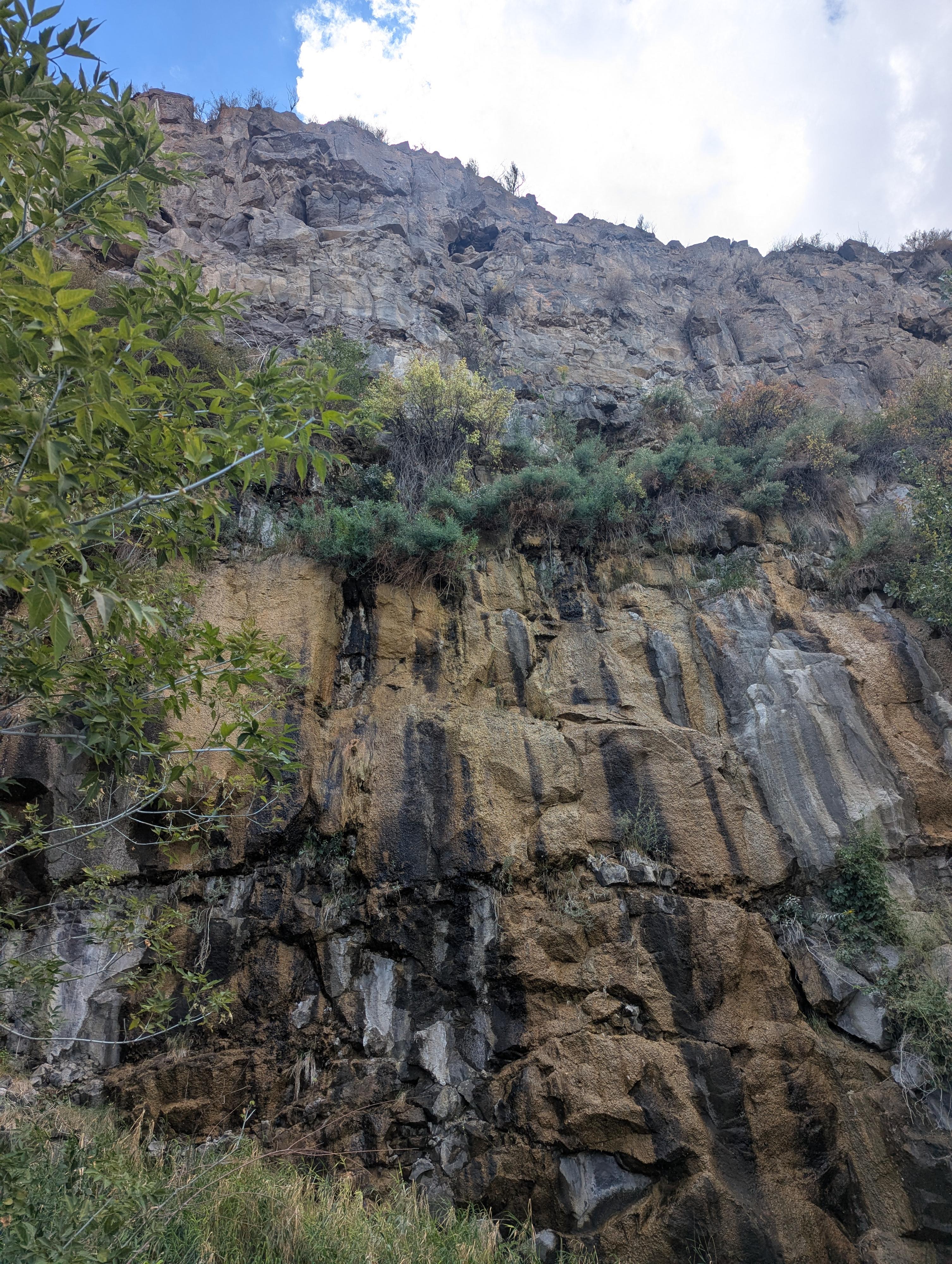
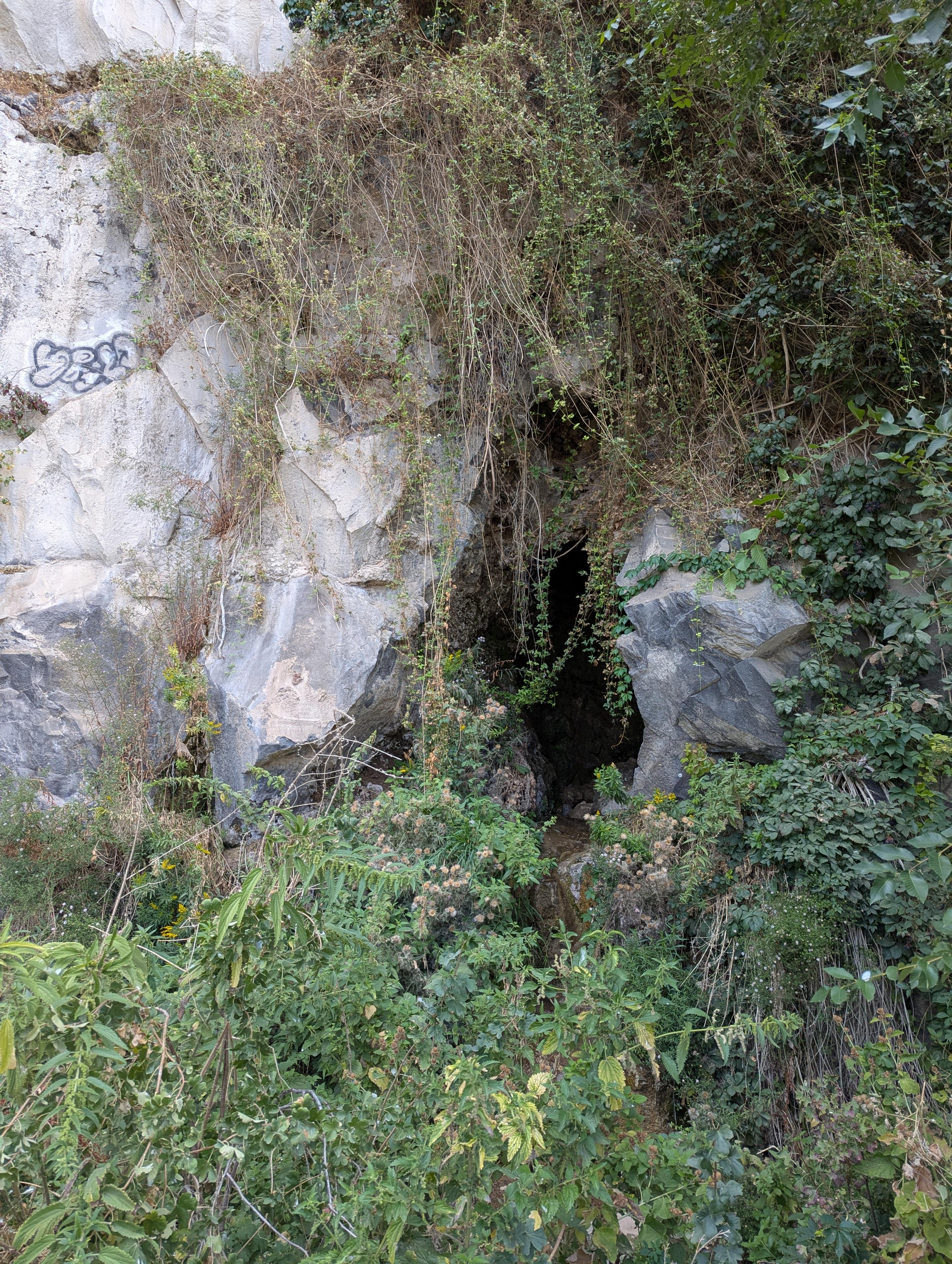
If you have a few minutes, you can follow the trail west and up to the base of the cliffs. Just a few minutes from the falls is an interesting shallow cave and dripping spring. If visiting, be careful of stinging nettles near the cave. The old wagon road appears to continue on past the cave up along the base of the cliffs.
Maps
11T 707497E 4719165N
42°35'49"N 114°28'15"W
11T 707425E 4719179N
42°35'50"N 114°28'18"W
11T 707379E 4719146N
42°35'49"N 114°28'20"W
11T 707306E 4719190N
42°35'50"N 114°28'23"W