
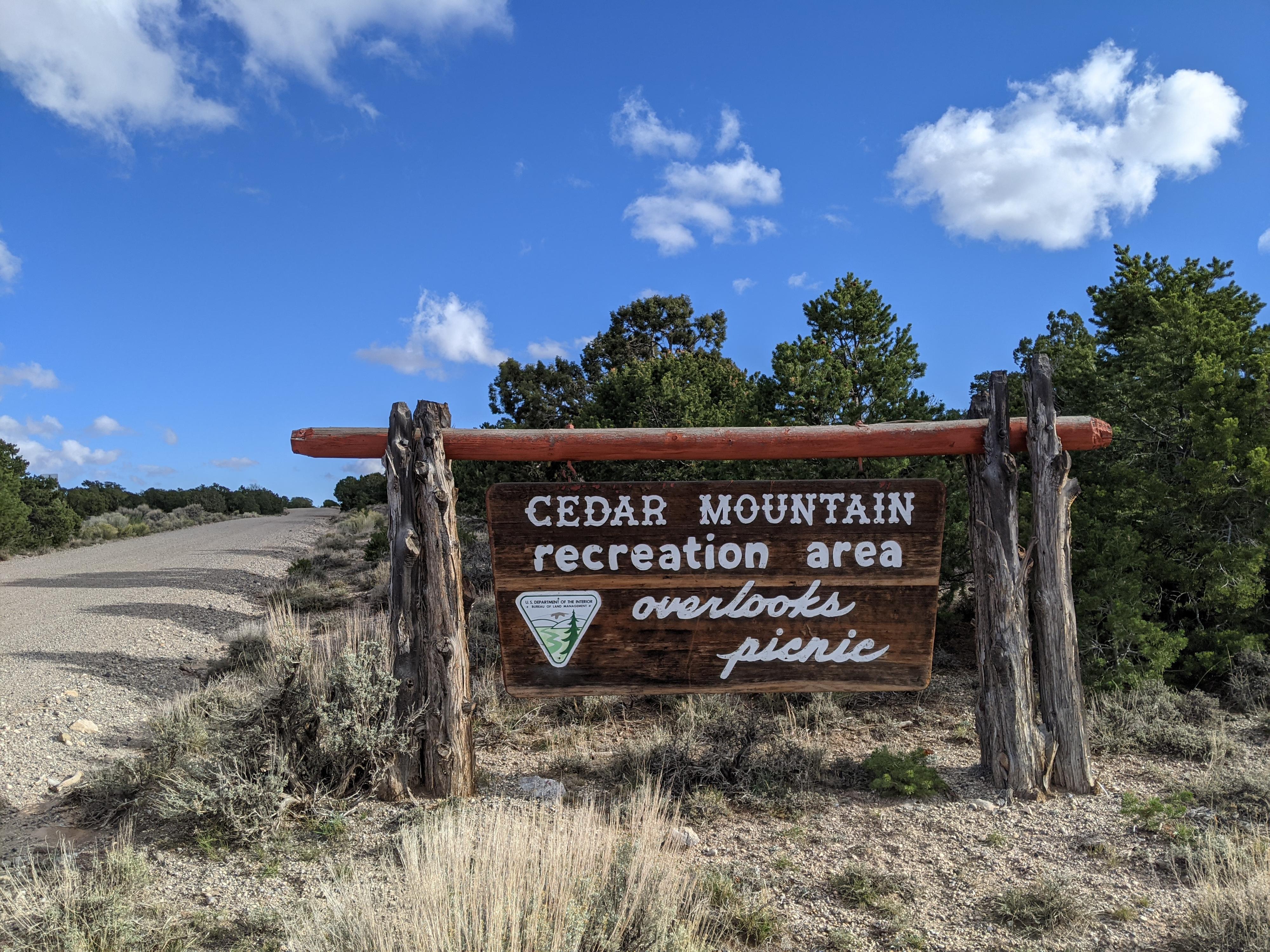
 Cedar Mountain Recreation Area
Price
Overview
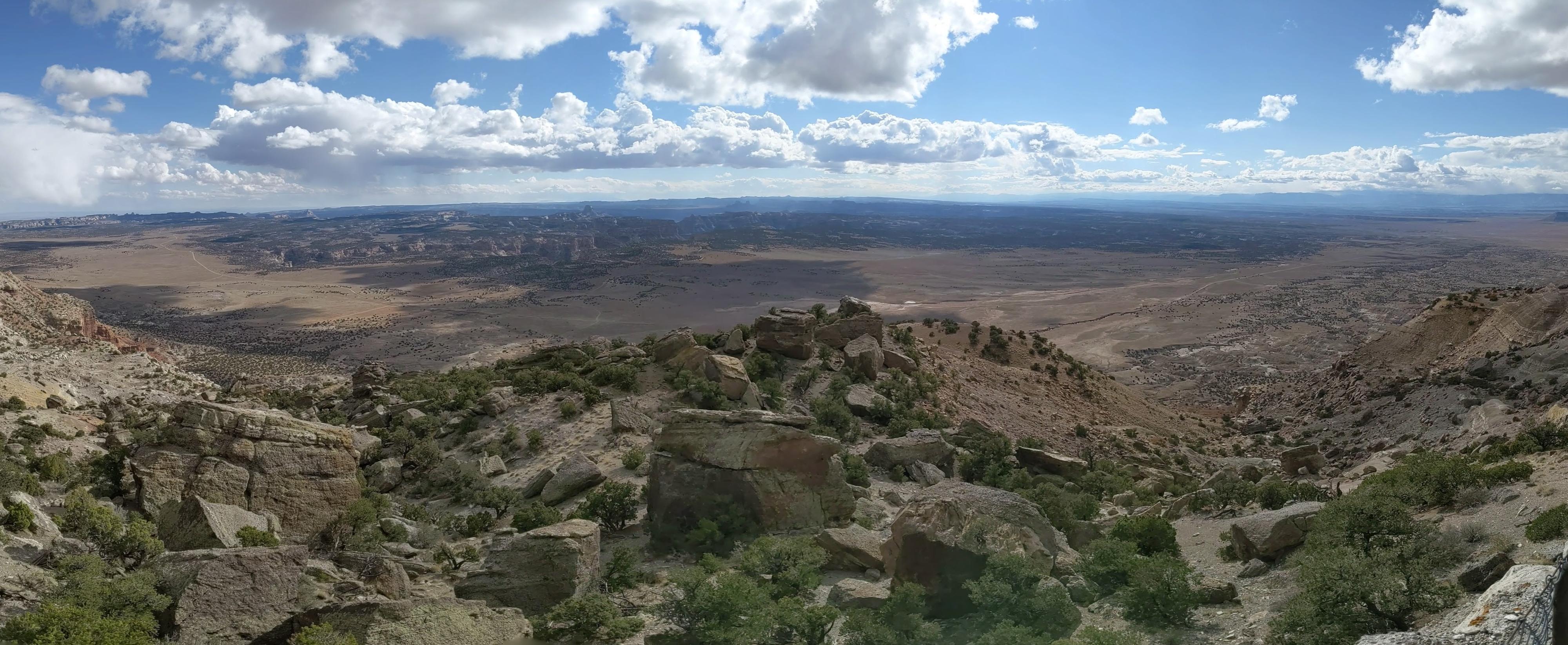
Cedar Mountain, just north of the San Rafael Swell, is one of the must do overlooks for San Rafael aficionados. The mountain is an uplift of conglomerate and sandstone rock that offers some of the best views in the area. From the viewpoint on top, much of the northern San Rafael Swell is visible, as well as such prominent San Rafael Swell features as Window Blind Peak and Mexican Mountain. Off in the distance, on a cloudless day, the La Sal Mountains (about 90 miles away) and the Henry Mountains (about 70 miles away) are also visible. It is an excellent spot to take in the grandeur of the Swell and surrounding areas.
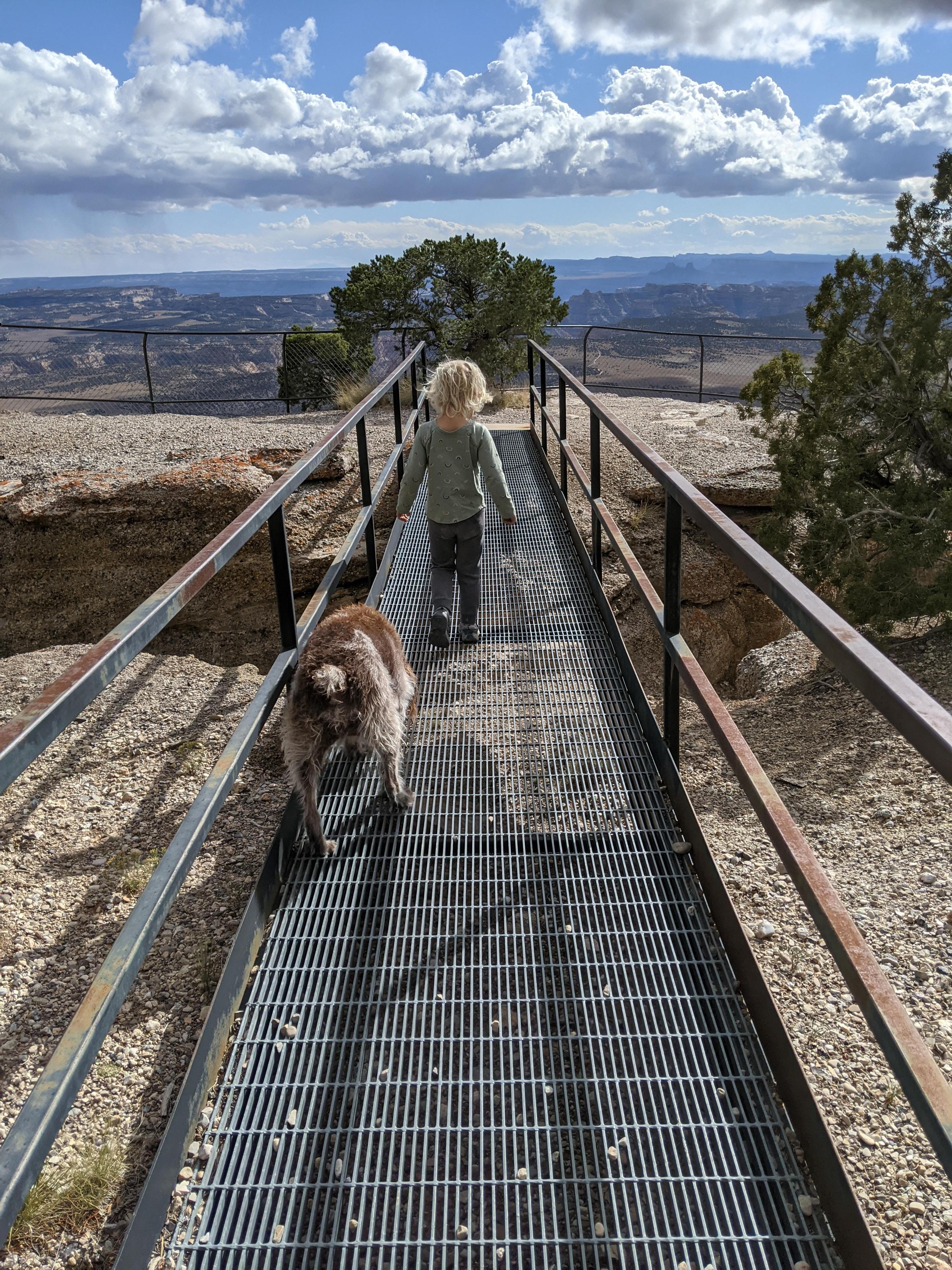
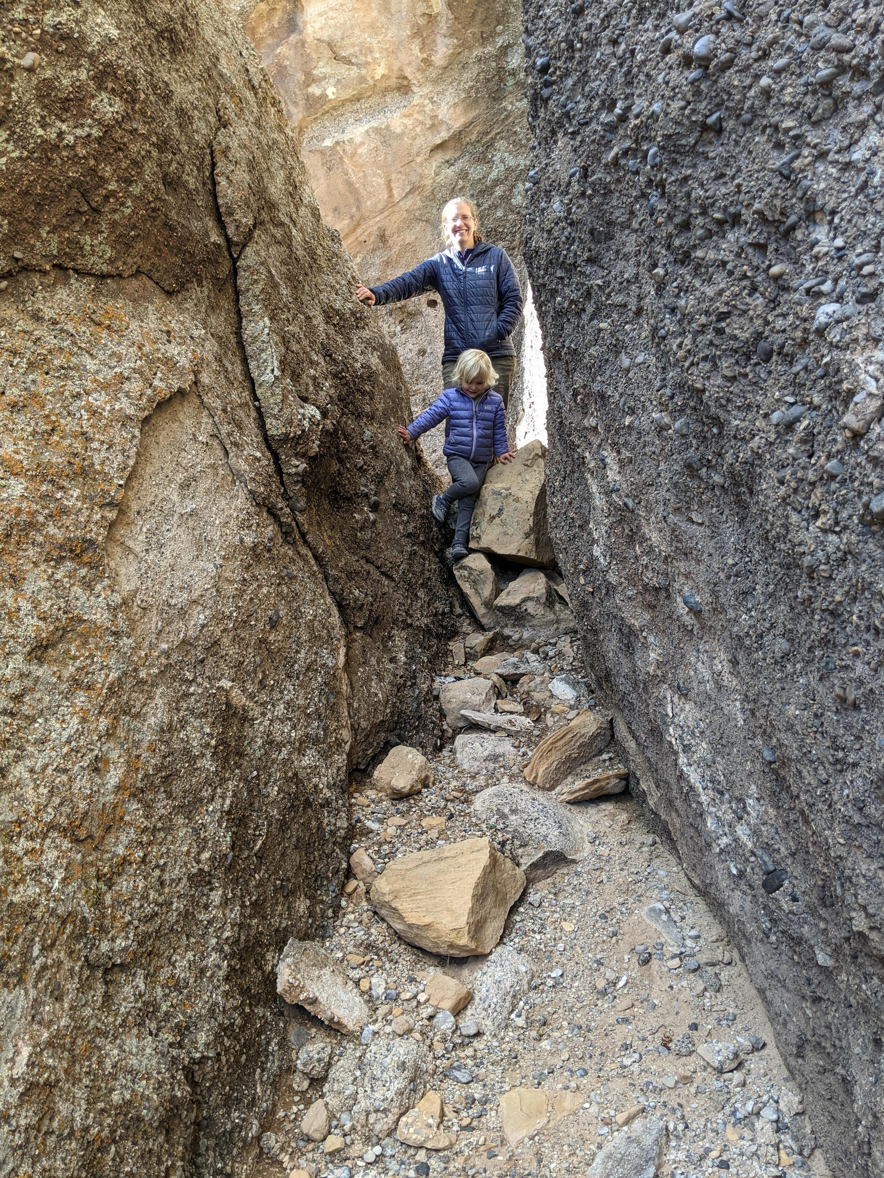
We went for the view from the viewpoint, but the recreation area is also the site of a fantastic picnic area and short trail. The picnic area is tucked into the cracks and crevices of large conglomerate boulders that were created when the mountain was pushed up from below. The picnic area is an absolute playground for kids with its passages and maze-like feel. I must admit, I enjoyed spending an afternoon exploring the area as much as our four-year-old!
The picnic area is also the site of a short trail that meanders along the rim before descending to the base of the top layers of rock and following the base back past a fossilized tree.
Getting There
There are many dirt roads to get to Cedar Mountain! Described below is what is the most straightforward to describe.
From Price, head south on UT-10 toward Huntington for about 10 miles to UT-155 (signed Cleveland). Follow UT-155 for 6.1 miles to the center of the small town of Cleveland.
Route Description
The viewpoint is a short walk that has excellent views and an informational sign pointing out the major landmarks.
Continuing up the road from the first viewpoint is the Picnic Area on the right. It has a pit toilet and a small parking area. A trail and steep set of metal stairs lead down into the maze-like area interspersed with picnic tables. It is a fun area to explore.
At the top, just before the stairs, the Fossil Ledge Trail leaves on the right. This trail goes to a viewpoint, then continues past a picnic table along the rim heading west. It soon descends to the base of the small cliff and follows the cliff base back to the picnic area and base of the stairs.
Photos
Maps

12S 531157E 4336260N
39°10'30"N 110°38'21"W
12S 532243E 4336047N
39°10'23"N 110°37'36"W