
 Hiking
Alpine Lakes Loop
Hiking
Alpine Lakes Loop
Great Basin National Park
Overview

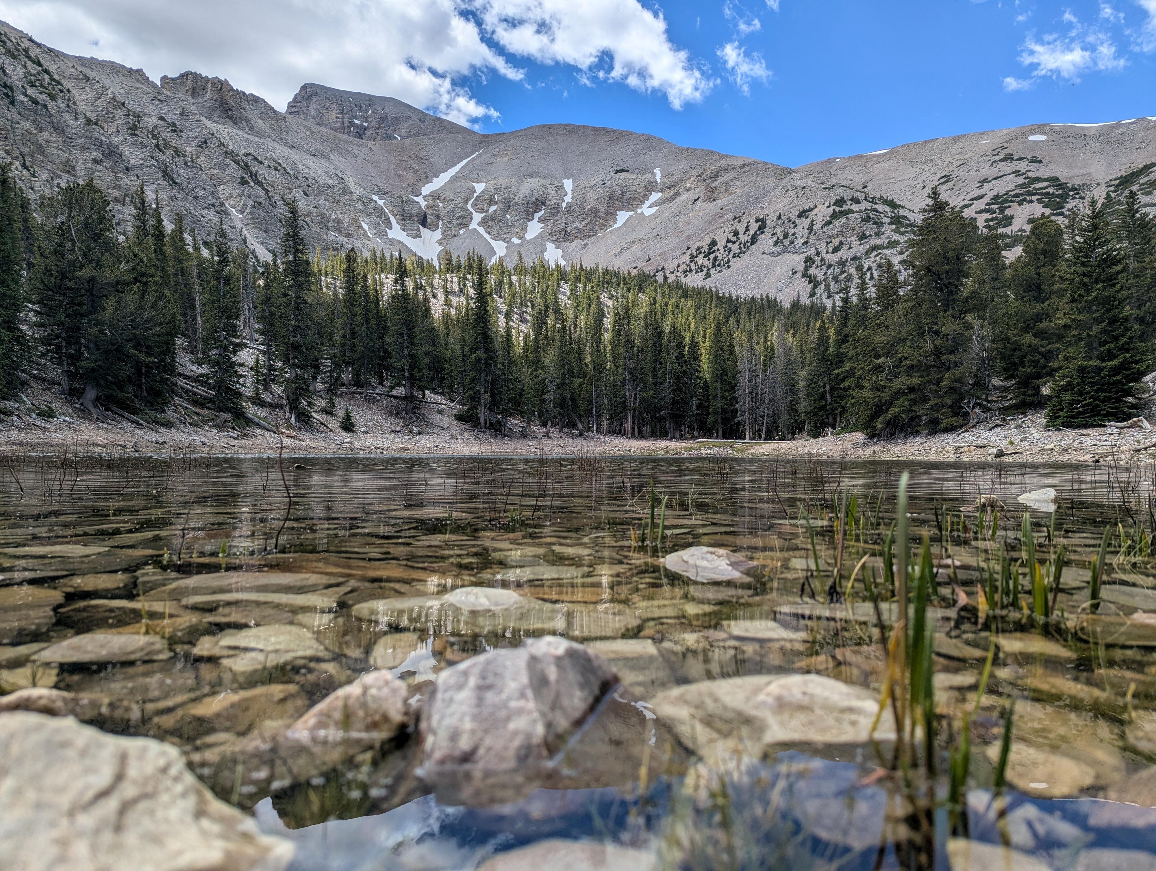
If you are looking for maximum high-country scenery with a moderate effort, the Alpine Lakes Trail is difficult to beat. With only about 450 feet of elevation gain, it's one of the best family-friendly options for experiencing the park’s high-altitude backcountry without requiring too much effort.
We visited this loop on our return from the Glacier Trail. If you are doing the Glacier Trail as well, it is easy to combine both. The two lakes, are tucked below the cliffs of Wheeler Peak and picturesque. It is a beautiful trail!
Stella Lake gets its name from Estella "Stella" Mathilda Ruby Gandy. Her family settled in Snake Valley in the late 19th century, and local lore holds that she was the first non-Native woman to reach this alpine lake.
Teresa Lake honors Teresa, another early settler and member of the ranching communities surrounding nearby Baker and Garrison. This was sometimes spelled Theresa on older maps.
Getting There
The trailhead is the Bristlecone Trailhead at the end of the Scenic Drive in Great Basin National Park. To get there, from downtown Baker, Nevada, head west on Lehman Cave Road (signed for Great Basin National Park) for about 4.8 miles, where you will turn right to follow the Scenic Drive up past the Lehman Creek campgrounds. This junction is right after entering Great Basin National Park.
Follow the scenic drive to its end in about 12 miles. Just before the Wheeler Peak Campground, there is a large parking area on the left that is the trailhead.
Route Description
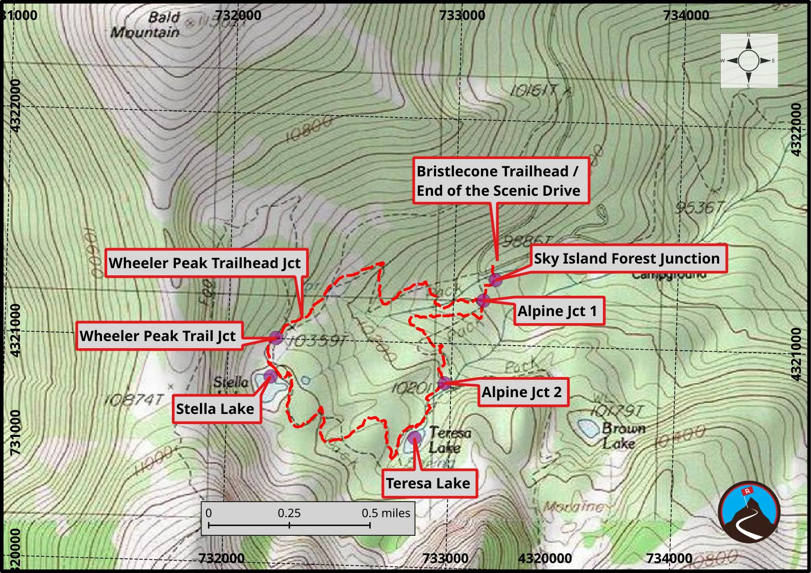
From the parking area, cross the scenic drive to the trailhead across the road. It has a large sign and is just before entering the campground.
Follow the trail just a few minutes to a junction. Left goes to the short Sky Forest ADA trail. Stay straight instead.
In just a few minutes more, the first Alpine Lakes trail junction is reached. This is the start of the loop. I recommend doing it counterclockwise, so go right here.
The trail climbs a fair bit, initially in the trees, but then with more open views of Wheeler Peak to the south. A junction is reached. The side trail (going right) goes to the Wheeler Peak Trailhead. Stay left. Just a few minutes more is a second junction. Stay left here as well; right is the Wheeler Peak trail that climbs steeply to the summit of Wheeler Peak.
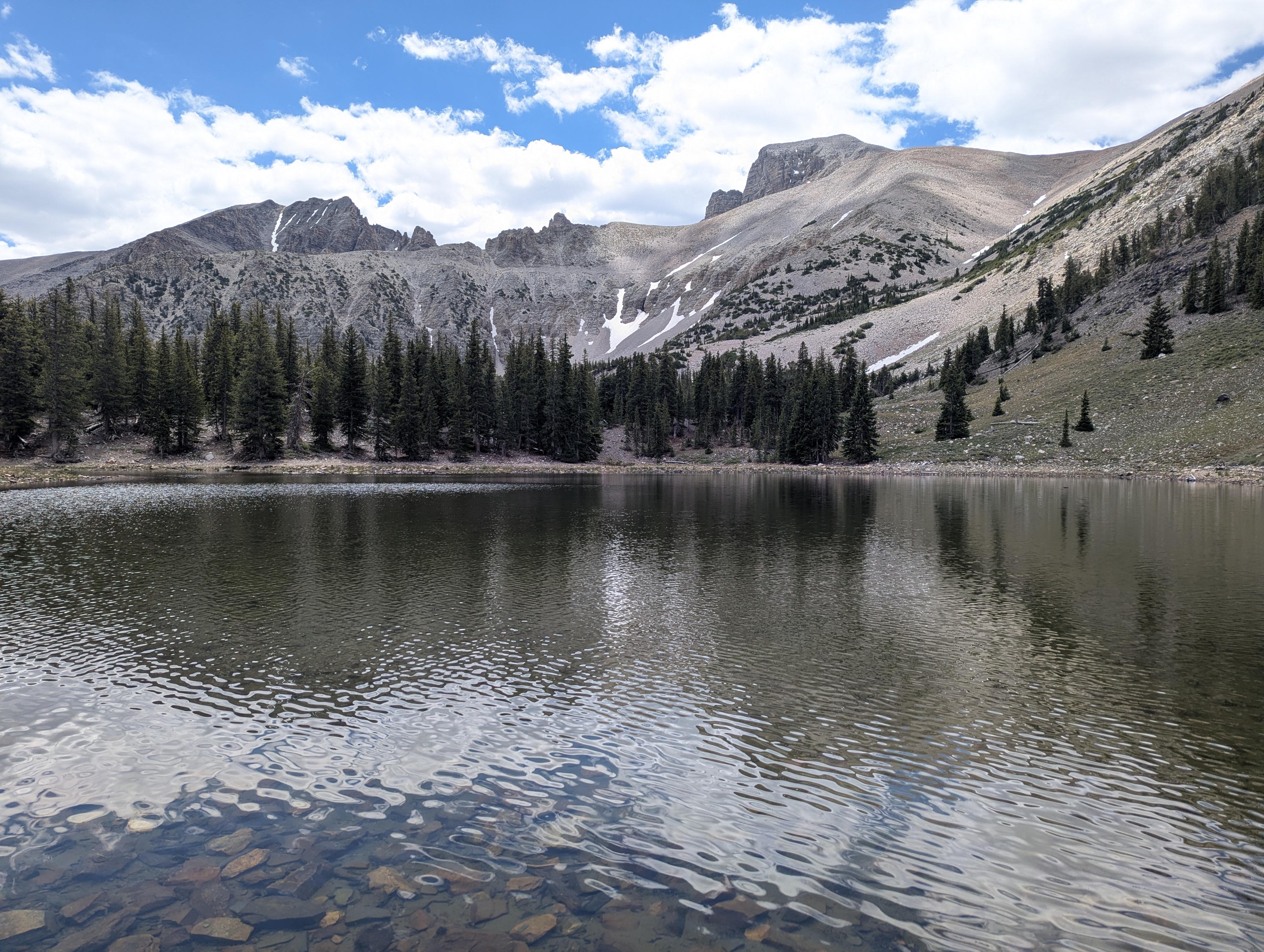
Stella Lake is just a few minutes after the Wheeler Peak Trail junction. Of the two lakes, it is the bigger and, to my eye, the most scenic. If planning a break, this is the lake I would take it at.
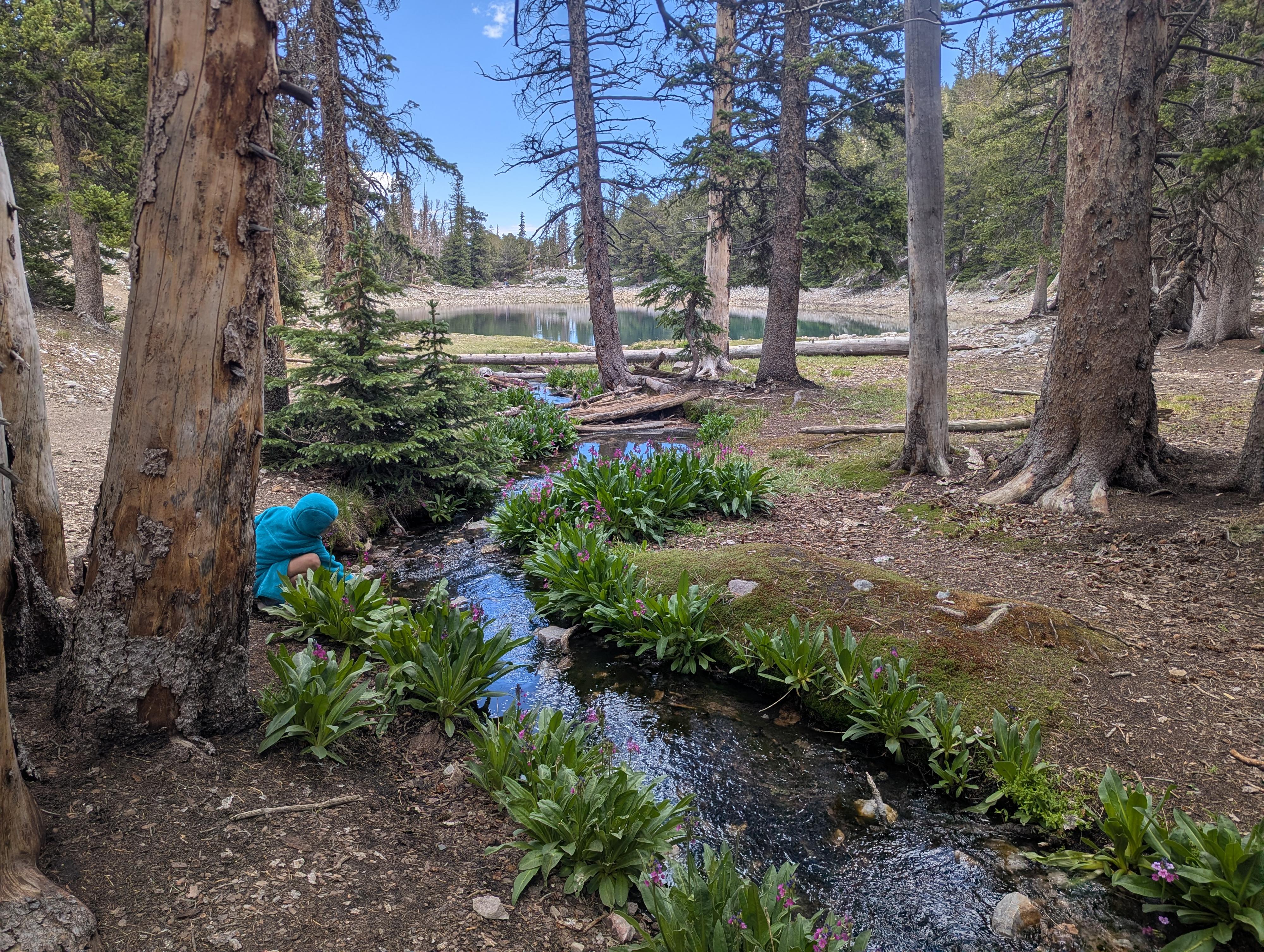
From Stella, the trail heads south and west, descending to Teresa Lake. This is a smaller lake, more surrounded by trees.
Continuing a few minutes past Terea, the Glacier Trail junction is reached. Go left here to head back to the trailhead.
Maps
11S 733190E 4321374N
39°00'37"N 114°18'25"W
11S 733185E 4321288N
39°00'34"N 114°18'25"W
11S 733134E 4321195N
39°00'31"N 114°18'27"W
11S 732326E 4321091N
39°00'29"N 114°19'01"W
11S 732212E 4321001N
39°00'26"N 114°19'06"W
11S 732972E 4320822N
39°00'20"N 114°18'34"W
11S 732193E 4320829N
39°00'21"N 114°19'07"W
11S 732844E 4320575N
39°00'12"N 114°18'40"W