
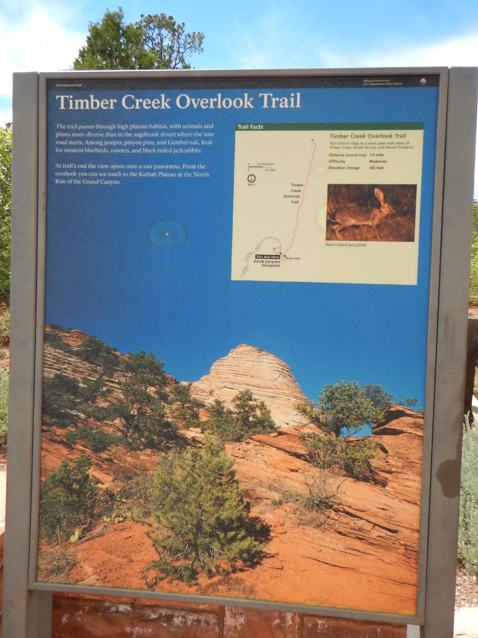
 Timber Creek Overlook
Kolob
Overview
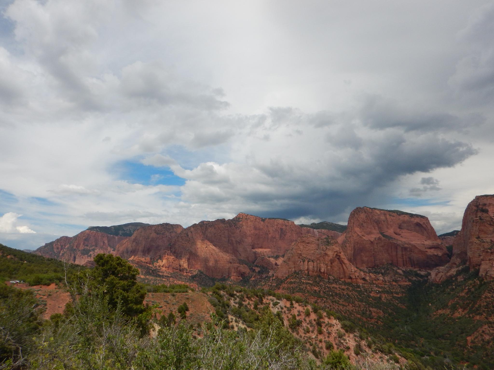
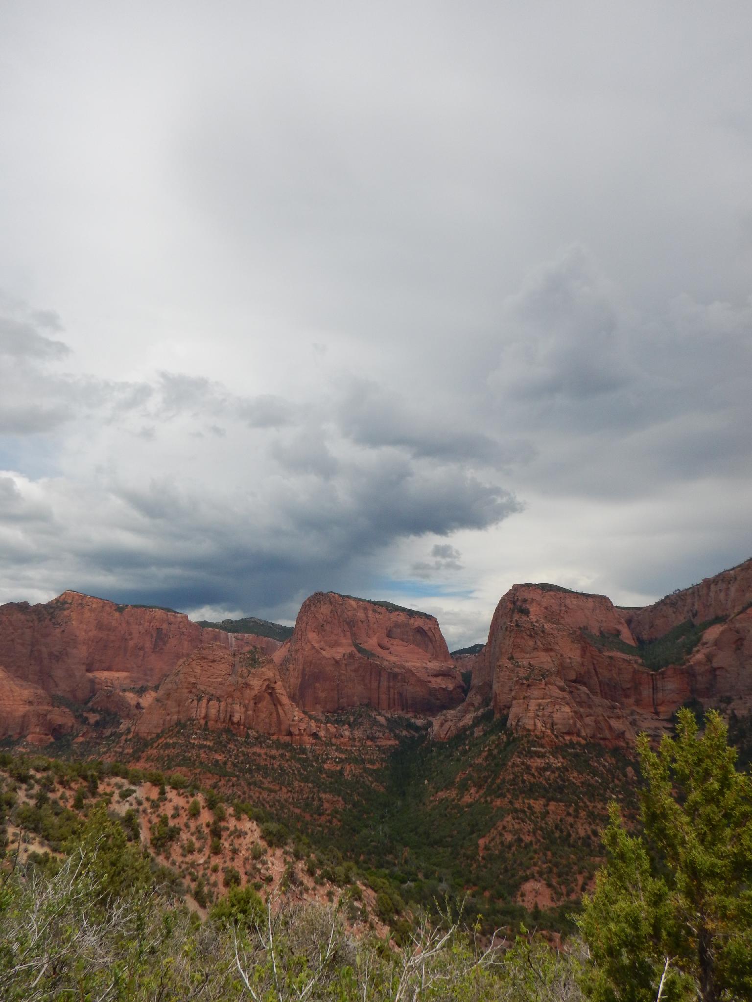
A short family friendly hike, this outing supposedly ends with views all the way to the North Rim of the Grand Canyon. On my visit it was pretty hazy, and I am unsure if I ACTUALLY saw the north rim or not, but either way it is a nice hike with big views of the Kolob Canyons area, and south to Arizona. This is a particularly good evening hike when the sun is lighting up the cliffs and canyons to the east of Timber Creek.
Getting There
This canyon is in the Kolob Canyons area of Zion National Park, which is just off of exit 40 on I-15. This is about 20 miles south of Cedar City Utah. If coming from the main part of the park, go west on highway 9 about 17 miles to the town of La Verkin, then go north on UT-17 about 5 miles to I-15. Follow I-15 north for 12 miles to exit 40.
From the visitor center just off the highway, go into the park on the scenic drive for 5.2 miles to the end of the road at the Kolob Canyons viewpoint.
Route Description
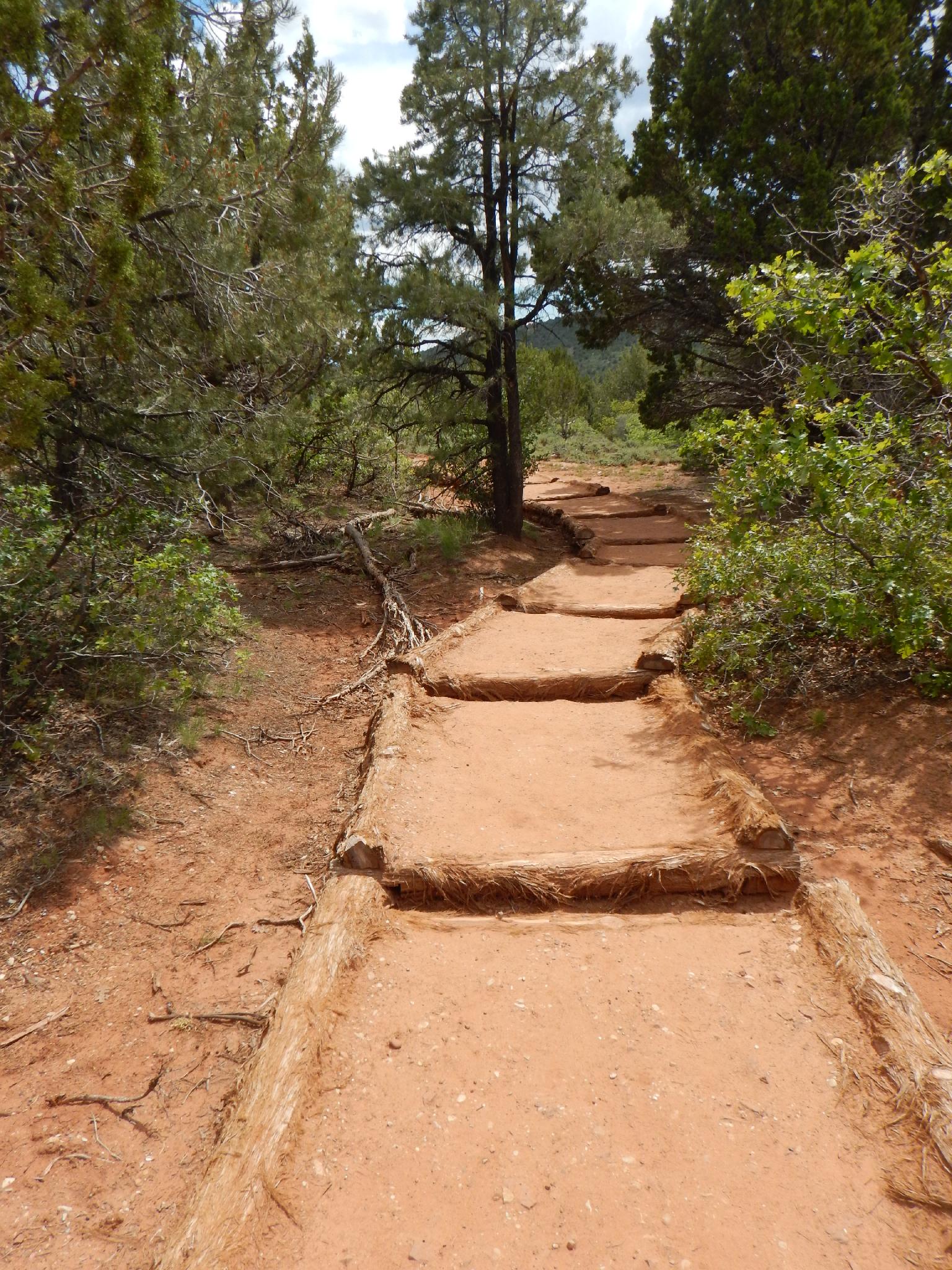
From the trailhead, follow the well travelled trail as is ambles out to the overlook. There are many good views en route, which make a great turn around spot for those looking for a shorter hike.
The mountains to the west (right heading out) are the Pine Valley Mountains, with Signal Peak being the highest point in both the range and Washington County. Signal Peak is the highest point somewhat visible to the south west from the overlook.
To the south is Arizona and the Grand Canyon.
To the south east is the edge of the main Zion National Park.
Almost due east from the viewpoint is Shuntavi Butte.
Maps

12S 305184E 4145467N
37°26'08"N 113°12'07"W
12S 304988E 4144642N
37°25'41"N 113°12'14"W